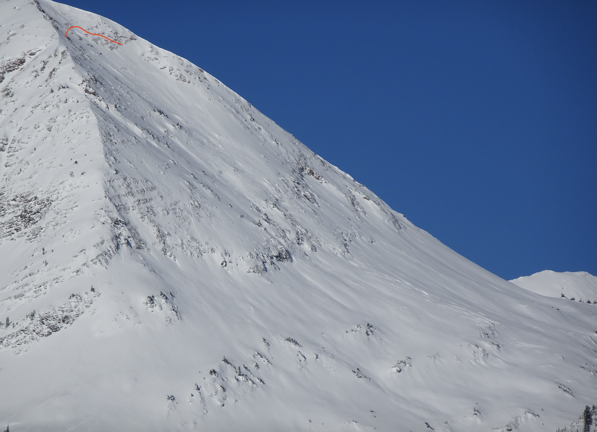
Remote triggered slide at Irwin

CBAC2020-21 Observations

Zone: Northwest Mountains

Location: Irwin Tenure

Date of Observation: 12/14/2020

Name: Irwin Guides

Subject: Remote triggered slide at Irwin

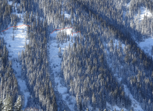
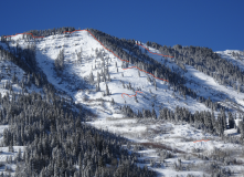
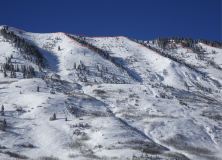
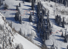
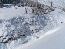
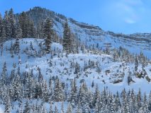
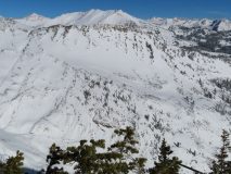
Avalanches: Skied the far skiers right side of lodge gully W aspect <TL and remotely triggered from 50′ away a .5 to the ground 50′ wide. SS-AS/u-D.5-G

Weather: Cold morning low of -14. Started snowing at 0700 after a clear night. Sky remained Obscure all day snowing S1/ S-1 off and on all day. Winds were Calm <TL and light out of the S >TL.

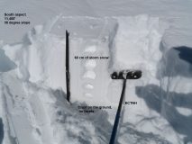
Snowpack: Snowpack has settled and become supportive. Ski pen averaged 30cm. The average HS up to 70 ridge was 50-60cm. Toured up the road system to the top of 70 down 70 gully to skin track and Lodge Gully to finish. Observed numerous collapses but nothing not to be expected or too large. Several Obs on Steeper terrain around Irwin village road cuts, etc. had cracked to the ground slumped but did not run. These occurred two days ago near the end of the storm.

Continued Obvious Signs To Instability

CBAC2020-21 Observations

Zone: Northwest Mountains
Date of Observation: 12/14/2020
Name: Evan Ross
Aspect: North, North East, West
Elevation: 11,000

Weather: Poor visibility until the weather started to clear in the late afternoon. Calm winds. Measured about 6″ of very light new snow at 11,000ft, from todays storm.

Snowpack: Spent a few hours in the afternoon traveling around 11,000ft on West, North and Northeast aspects. More of the same, shooting cracks on many of the slopes traveled. The avalanche problem was fairly obvious without having to look to hard. Conservative decision making. If you chose to travel on a steep slope, that hadn’t already avalanched, it seemed like a high likelihood it would avalanche… Got close to some bigger steep slopes wondering if they would remote trigger and didn’t see any results.

Measured about 6″ of very light new snow at 11,000ft, from todays storm. HS at 11,000ft in a well sheltered meadow was right about 100cm.

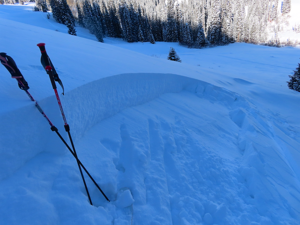
Due to traveling on lower angled slopes. The only time I saw blocks move was when they were cut up. This particular slab was about 70cm’s thick.


More Persistent Slabs

CBAC2020-21 Observations

Zone: Northwest Mountains

Location: Elk Creek Drainage off Kebler pass

Date of Observation: 12/14/2020

Name: Jack Caprio and Zach Guy


Subject: More Persistent Slabs

Aspect: North, North East, East

Elevation: 9,800′-10,500′

Avalanches:

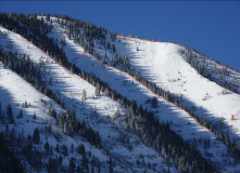
We observed numerous persistent slab avalanches on NE and E aspects BTL, ranging from D1-D2 in size, most that ran this weekend and some that we triggered today. While skinning up a ridgeline, we crossed above 7 NE facing avalanche paths. Of those 7, 5 had already run naturally during our recent storm cycle. The remaining two were easily triggered by ski cutting convexities near the top of the start zones. The slab depths varied from 12-16 inches, encasing all the recent storm snow. As the slides picked up speed, they entrained some of the rotten snow at the bottom of the snowpack.  All of the slides propagated across their entire start zones and ran about 3/4 of the distance to the bottom of the avalanche path.  They were all soft slabs failing on the 12/10 interface.

Weather: Little to no wind. Overcast skies. The snowfall rate varied from S-1 to S2 from 12 pm – 2 pm, with a few inches of new snow throughout the day.

Snowpack: Traveled below treeline hoping to find improving stability but continue to get widespread collapses and triggered slides.  The top 12-16 inches of the snowpack consisted of F hard precipitation particles from our recent storm accumulations. Sitting below the storm snow is the 12/10 weak layer/ interface. On Northerly aspects, this interface consists of F hard buried near-surface facets. On Northeast through East facing aspects, this interface consists of a thin melt-freeze crust with near-surface facets sitting on top.


Photos:

[/gravityforms]

Snodgrass slides

CBAC2020-21 Observations

Zone: Southeast Mountains

Location: Snodgrass

Date of Observation: 12/13/2020

Name: billy barr


Subject: Snodgrass slides

Aspect: North East

Elevation: BTL

Avalanches:

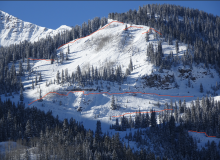
See photos of some slide activity on Snodgrass Mountain.


Weather:

Snowpack:

Photos:

Washington Gulch

CBAC2020-21 Observations

Zone: Southeast Mountains
Date of Observation: 12/13/2020
Name: Colorado Backcountry Avalanche L1
Aspect: North East, East
Elevation: 9,500-10,500

Avalanches: Many natural avalanches on below treeline slopes facing east to northeast. In general, the south side of Washington gulch has natural avalanche activity down by the reservoir and homes, on up to Coneys and beyond. These avalanches ran on Friday or Saturday. Many of those avalanches were small, a few where large in size. All appearing to release on old weak snowpack.

The above treeline Southwest Flanks of Gothic Mountain had 2 large windslab that ran early this morning.

Easterly and southeasterly terrain above treeline on Mt Baldy had one large persistent slab, and one smaller slab that may have released yesterday.

Weather: Clear, Cold, Calm.

Snowpack: Last night’s wind event was very evident looking around. In the Coney’s area, the winds mostly cross-loaded and blew up the terrain. The resulting wind-boards trashed much of the skiing, unfortunately. The new snow was notably thicker today, compared to yesterday. The persistent slab avalanche problem was less reactive than yesterday, but still making noise with collapses and shooting cracks while traveling on terrain less than 30 degrees.

Coneys

CBAC2020-21 Observations

Zone: Southeast Mountains

Location: Coneys

Date of Observation: 12/13/2020

Name: Jack Caprio

Aspect: North, North East, East

Elevation: 10,800

Avalanches:

From the ridgeline, skier remotely triggered a R1D1.5 persistent slab on a NE facing aspect near the treeline. The avalanche broke on a 1-inch thick melt-freeze crust about 14 inches down from the surface. Above the MF crust were 1-2 mm faceted grains which developed during our dry spell before Thursday. The slide entrained all the new snow from the most recent storm (about 14 inches) and propagated about 60 feet wide. The slab initiated on a > 30-degree start zone and the momentum quickly diminished as the slope angle decreased. All in all the avalanche ran about 150 vertical feet.

SS-AS-R1D1.5-I

Weather: Sunny and cold. Very subtle to no winds along ridgeline at 2 pm.

Snowpack: Last night’s winds towards the tail end of the storm cross-loaded many slopes. In open areas, the surface snow of breakable windboard ranging from 1-3 inches made for some very unenjoyable turns. Underneath the windboard was about 10-15 inches of F+ storm snow. On N aspects, basal facets made up the bottom foot of the snowpack. As soon as the compass rotated east of north, a melt-freeze crust with near-surface facets above it was found sitting below the new storm snow. This melt-freeze crust was the guilty layer/ bed surface of the skier triggered slab.

Photos:


Cycle in the Slate

CBAC2020-21 Observations

Zone: Northwest Mountains

Location: Slate River and Baxter Basin

Date of Observation: 12/13/2020

Name: Zach Guy and Eric Murrow


Subject: Cycle in the Slate

Aspect: North East, East, South East, South

Elevation: 9600′ to 11,700′

Avalanches:

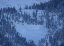
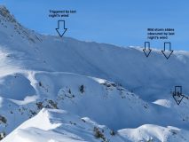
Widespread natural cycle yesterday and last night: extensive soft slab naturals that broke 1 to 2 feet deep on the storm interface (12/10 facet layer). Slides ranged from small to large (D1 to D2.5); most propagated across much or all of their start zones and ran to mid track. I estimate that 90% of the north or east facing paths or features in Happy Chutes, Climax Chutes, and Schuylkill Ridge ran (roughly 60 slides), as well as the west facing near treeline terrain below Baldy and Gothic (about 5 slides). Last night’s winds obscured the evidence of avalanche activity in the alpine. There were some fresh crowns triggered by wind transport last night (about 5), but more commonly, evidence of activity during the storm was subtle and harder to characterize. The most notable was the east face of Mineral Point which ran to valley bottom.  In contrast, the southerly aspects that we could see showed minimal signs of avalanche activity.
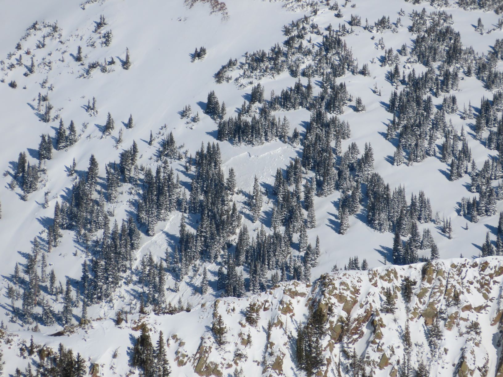
Today we or other parties near us appeared to remotely trigger a handful of soft slabs up to 2′ thick. These were on small pockets or features so generally harmless in size.

Weather: Cold temps, clear skies, some light wind transport observed off of a few high peaks but calm winds where we traveled.

Snowpack: We observed widespread collapsing and shooting cracks while traveling on low angle terrain of various aspects. Some collapses were localized, some were rumbling and traveled 100 feet or more and would shake trees or trigger small pockets. Settled storm totals were 60 to 70 cm at low elevations, sitting on our well documented 12/10 interface. Low angle slopes with a southerly pitch were collapsing on a thin meltfreeze crust, or just facets on northerly pitches. On steeper southerly pitches, the crust is thick and uniform to the ground, lacking a problematic facet layer that is so widespread on other aspects or on lower angle slopes.
Not much evidence of wind transport during the storm, but last night’s northerly winds redistributed surface snow near and above treeline into some small wind slabs that didn’t react to ski cuts today.

Photos:


Gothic 7am weather update

CBAC2020-21 Observations

Zone: Southeast Mountains

Location: Gothic Townsite

Date of Observation: 12/13/2020

Name: Billy Barr

Subject: Gothic 7am weather update

Weather: A steady dense cold weather snowfall all day Saturday with not a lot of buildup at 4½” new and 0.43″ of water as snow is at 21½” deep now. Thankfully there was little wind with it. The 24 hour period high was 15ºF and it is now at -14ºF, the coldest so far this winter. Currently clear and calm. The weight of the dense new snow should press on the lighter early snow. Storm total was 17½” of snow with 1.21″ of water. And now for a lovely, sunny day ahead. billy


CBAC2020-21 Observations

Zone: Southeast Mountains

Location: Coneys S Trees

Date of Observation: 12/12/2020

Name: J B

Aspect: North East, East, South East

Elevation: up to 10,800

Avalanches:

A few notable natural slides overnight in terrain up to 35 degrees on ESE up to D2.