Zone: Northwest Mountains
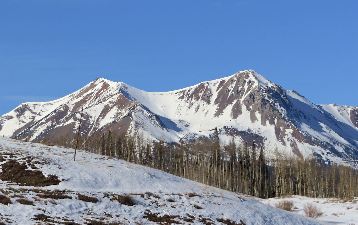
Location: East bowl of Schuylkill Peak above Pittsburg rollers
Date of Observation: 12/6/2020
Name: Zach Kinler, Jack Caprio
Aspect: North, North East, East, South East
Elevation: 9,400′- 11,600′
Avalanches:
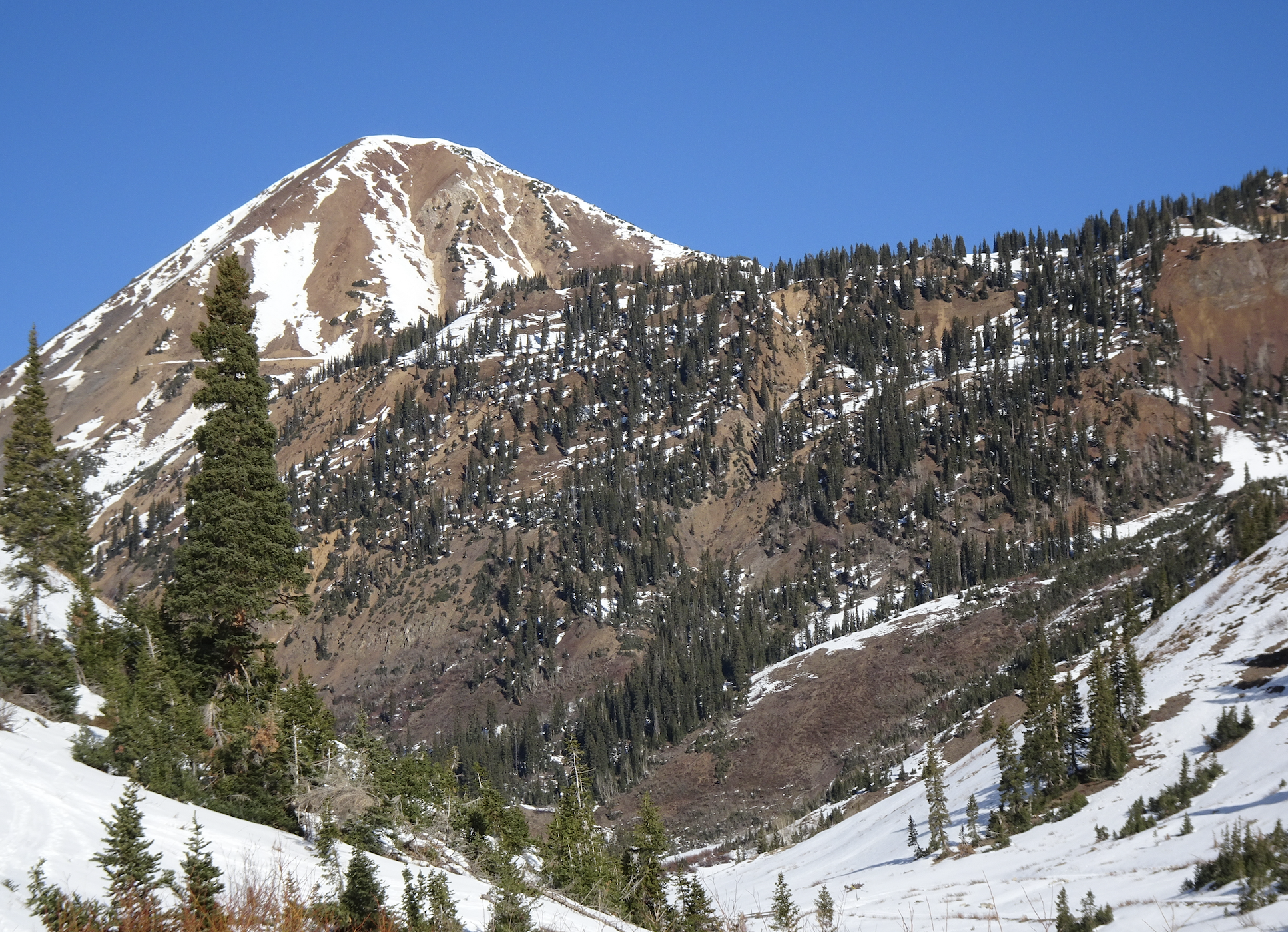
Observed 6 older Loose Dry avalanches on steep E-N slopes initiating from shallow areas around rock outcrops near tree line. All D1 in size confined to surface snow.
Triggered 4 Loose Dry avalanches from ridge line in similar terrain, running 200-300 vertical feet. D1 in size. These avalanches are easy to avoid as they are starting quite small and narrow and only gaining harmful momentum mid to lower track as the terrain funnels and confines the debris.
Weather: Amazingly pleasant. Sunny skies, calm winds, temps in valley around 10F to start with 11K temps near or above freezing.
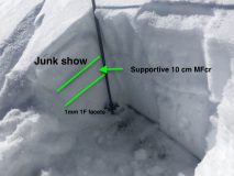
Snowpack: Toured primarily E-N aspects up to 11,600′ paying close attention to near surface conditions and any Loose Dry avalanche concerns in the Northwest zone. Snowpack depths are 40-60 cm with the upper 15-20 cm heavily faceted. Below 10,500′ its trap door with faceted snow or weak crusts/facets to ground. Moving above 10,500′ and into more open terrain, there is generally a meager 1F midpack offering ski support and a shallow bed surface for any Loose activity. The upper 15-20 cm is faceted similar to lower elevations however.
Stomped on a few N/NE near tree line features with October facets(3mm) near the ground with no cracking or signs of instability. Slabs are not present across terrain features.
Photos:
-
-
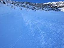
Older D1 Loose avalanche East 11,500. Confined to the upper 15-20 cm of faceted snow.
-

-
Near surface facets were found at all elevations and aspects travelled. 2-3 mm with some chaining into larger grains.
-
-
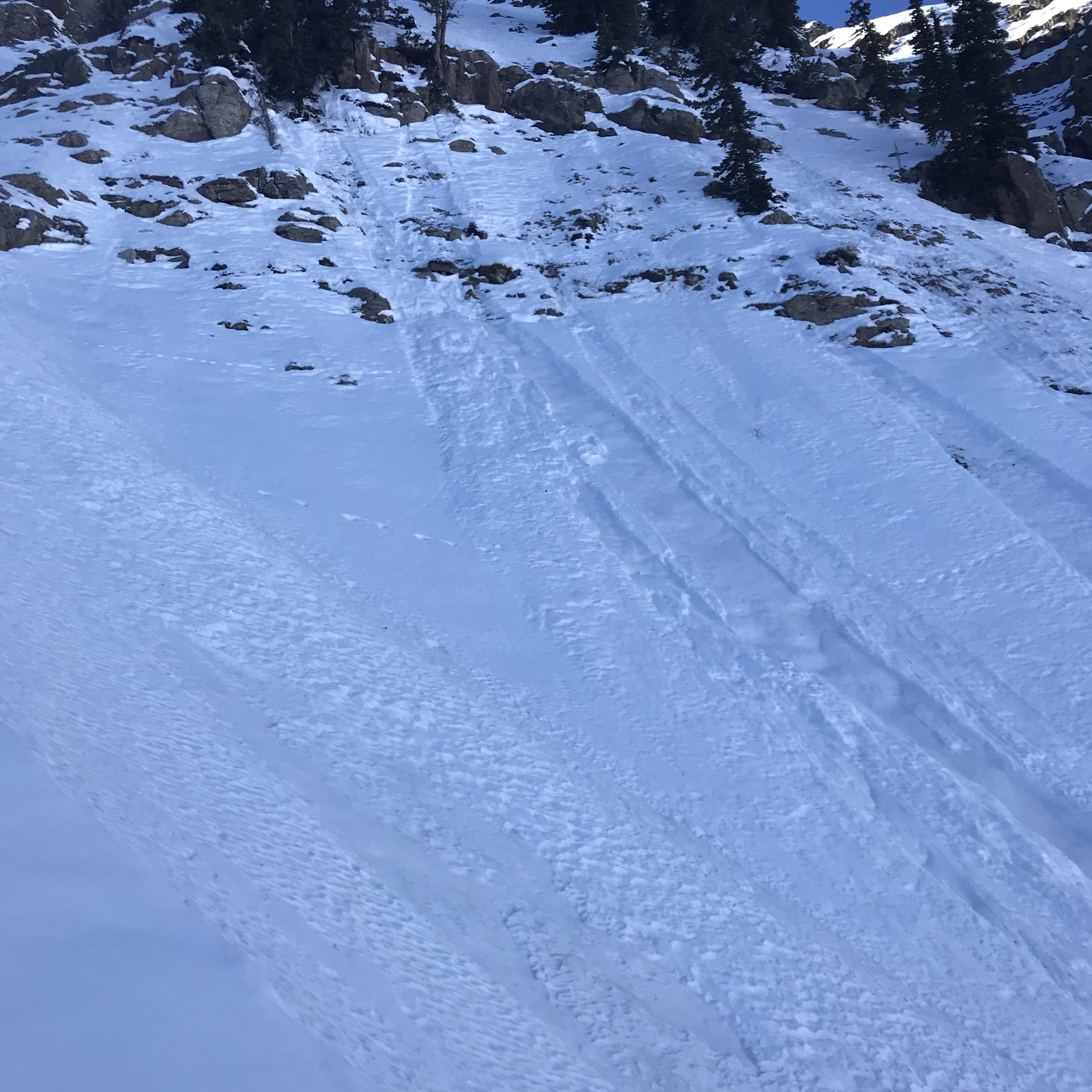
Avalanches triggered today from ridgeline, confined to the upper 15-20 cm.
-
-
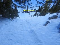
Looking down one of the D1 Loose Dry avalanches triggered today with debris terminating at arrow.
-
-
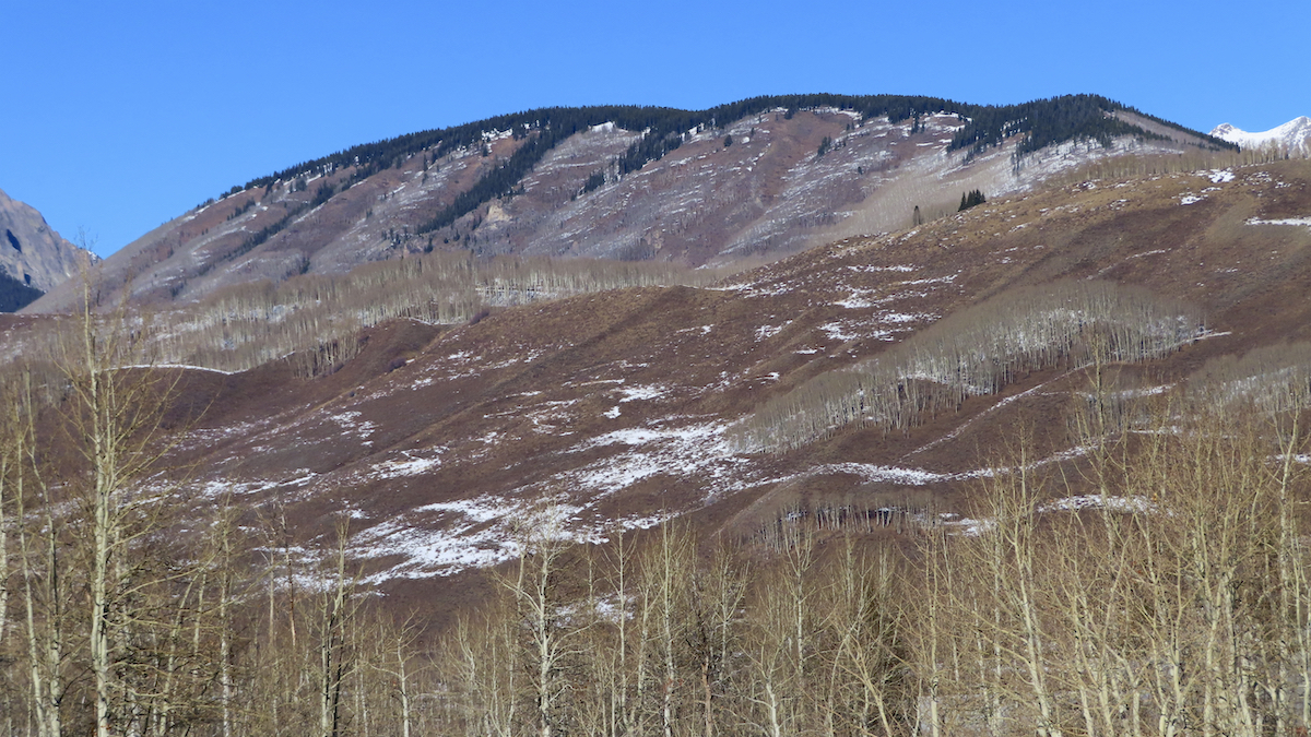
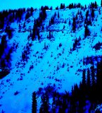
Quick look at SE 11,300′. Similar large-grained facets in the upper 15-20 cm.
[/gravityforms]