

Zone: Southeast Mountains
Date of Observation: 12/09/2020
Name: Evan Ross
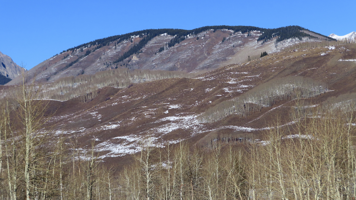
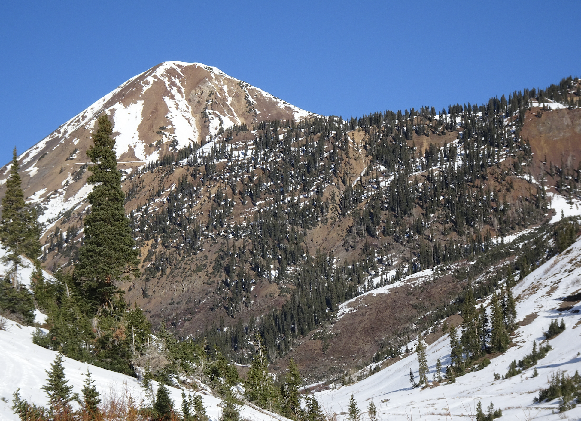
Snowpack: After a long dry spell for the end of November and the start of December, we could boil a snowpack summary down to something fairly simple. If the terrain was white with snow on December 9th, then those slopes will have a weak foundation for the next round of snow and building snowpack to come. Not all the current snow coverage will be the next persistent weak layer, but the vast majority will be. So keep it simple, where we had snow coverage around ~12/9, is where we can expect the next persistent Slab Avalanche Problem to begin building. Of course, we need it to start snowing again. Please start snowing again.
There is less terrain not on the potential problematic list, so let’s look at those slopes. Below Treeline SE, S, and SW have bare ground. Near Treeline, those same slopes have a variable patchwork of snow. Above Treeline southerly facing slopes have the best coverage in the Northwest Mountains, and more patchy snow coverage in the Southeast Mountains. On northerly facing slopes below 8,500ft the snowpack is either very thin or patchy. Just about everything else had continuous snow coverage, or at least much better coverage than what was listed earlier.
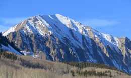
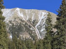
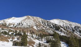
The pictures below document some of the slopes that had bare ground or patchy snow coverage on or around 12/9.
-
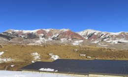
- Southerly facing slopes on The Red Ridge Near Whetstone

-
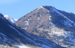
- Southerly facing slopes near Avery Peak

-
- Mt Bellview, with bare ground on some south facing slopes
-
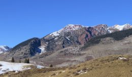
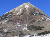
- East Face of Gothic Mountain

-
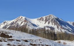
- South West Gothic Mountain

-
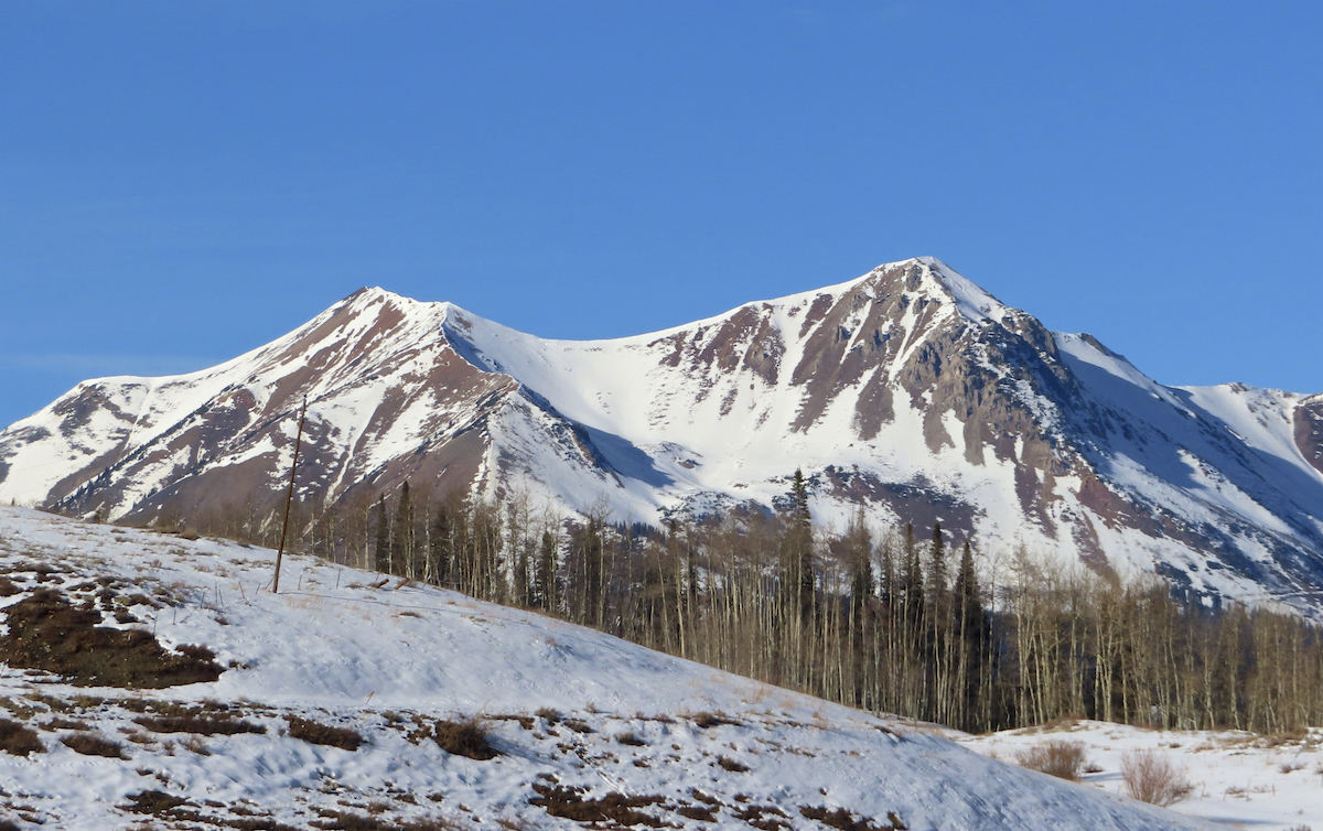
- West South Westerly slopes on Gothic Mountain

-
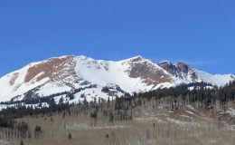
- Mt Baldy, with bare patches on parts of the south slopes.

-
- The Spoon and the South Side of Gothic Mountain

-
- South side of Schuylkill Ridge

-
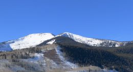
- Red Lady and Red Coon Bowl

-
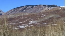
- Southwesterly slopes of Snodgrass and Smith Hill
-

- Southerly slopes of Cinnamon Mountain.
-
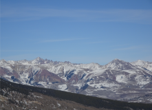
- Looking northeast into the heart of the Elk Mountains. Castle Peak on left and Teocalli on the right. Sure looks dry.
