Gothic 7am Weather Update

CBAC2020-21 Observations

Date of Observation: 02/04/2021
Name: billly barr

Zone: Southeast Mountains

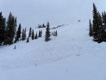
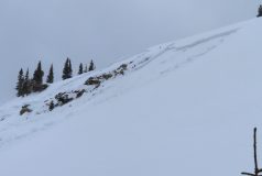
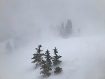
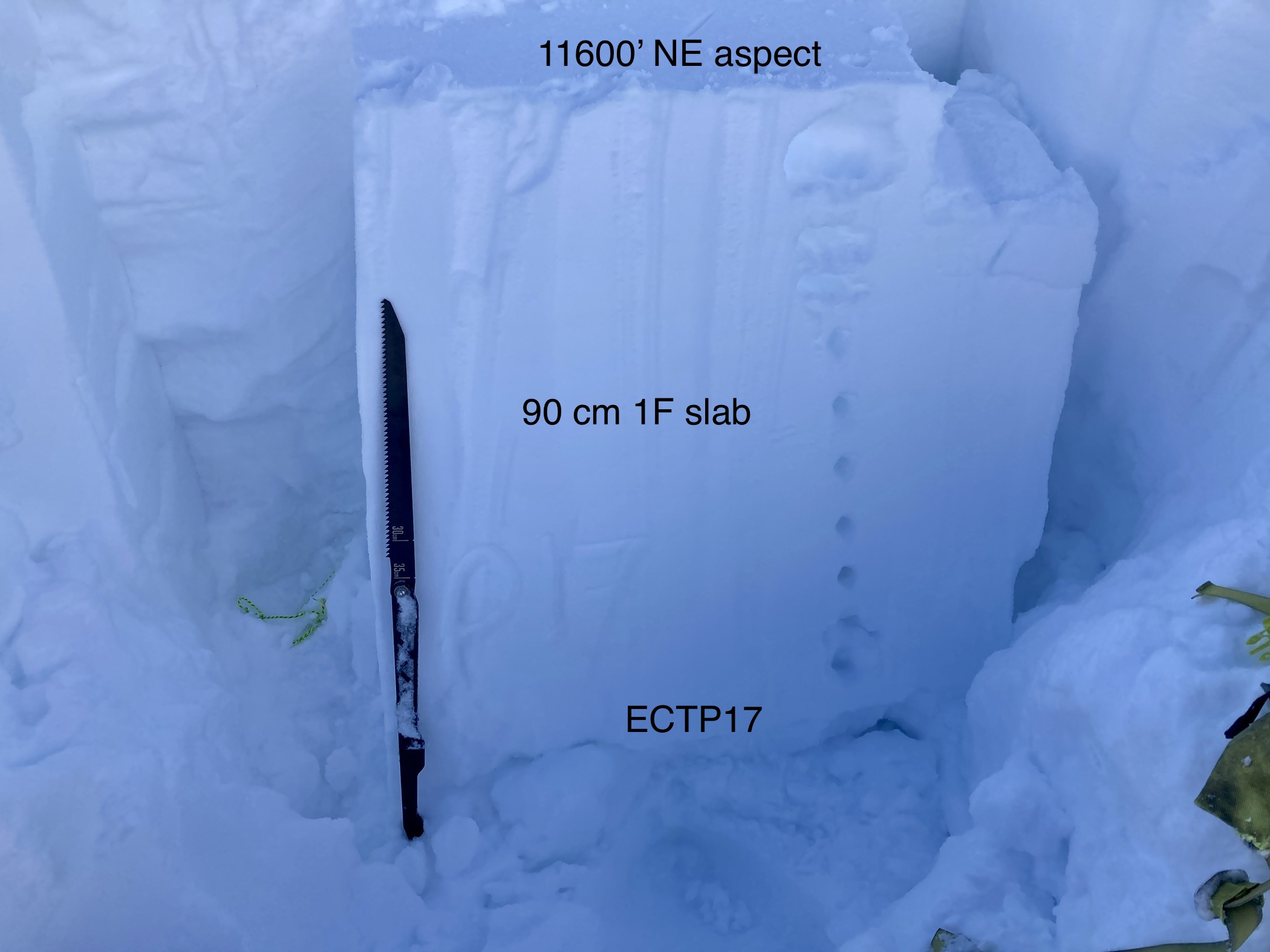
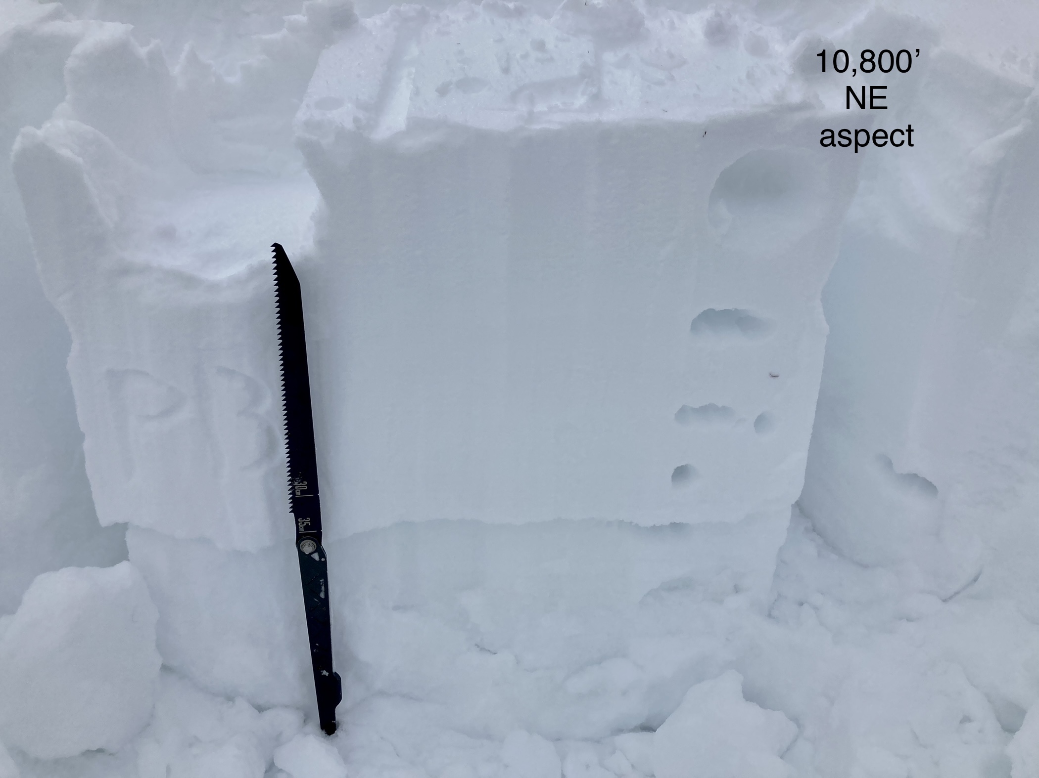
Weather: Strong wind yesterday with snow starting around sunset and ending by midnight, then clearing and cooling. New snow is 7″ with a dense wind driven 0.71″ of water. The snowpack sits at 36½”, just shy of winters deepest. Current clear and 5F after a low of 2F and a high yesterday of 38F. Wind continues but down from yesterday but a lot of snow blowing on ridgetops. So early day sign of avalanche activity.

Whole Lot Of Wind

CBAC2020-21 Observations

Date of Observation: 02/03/2021
Name: Evan Ross

Zone: Northwest Mountains
Location: Washington Gulch
Aspect:
Elevation: 9,000-11,300ft

Avalanches: Triggered 1 small persistent slab on a NE slope at 11,200ft. This avalanche was triggered from the ridge above and about 10 feet away from the crown. The crown height averaged 30 to 45cm. The weak layer NSF at the 1/19 interface. This slope had avalanched previously back in December. I’ve been by it about once a week since December. The snowpack remind weak every time I had previously passed it and it took this long to rebuild a slab. The storm at the end of last weak finally had added enough snow and the following warm temperatures probably helped develop the slab. This slope didn’t have any fresh wind-loading form today.

Weather: Mostly cloudy to overcast. The winds were mostly light down in the valleys. Climbing up above 11,000ft those winds became strong to extreme. Those winds were eroding some windward terrain, and mostly just blowing snow away, vs actually loading lee aspects. A couple inches of new snow at best, up at 11,000ft and only a dusting of new snow down in the valley. Lots of graupel. I did see a snow-nado. Thats always cool.

Snowpack: Early afternoon tour, ending by about 3pm. Looking around to see how the current storm was going and what was changing. The current storm had made little changes in the area traveled. Sure there was more going on up in the alpine, otherwise where I traveled it was just a whole lot of wind and not much new snow, yep… Didn’t find any freshly drifted terrain features to further investigate.

Weak structure on the border of NW and SW mountains.

CBAC2020-21 Observations

Date of Observation: 02/03/2021
Name: Jack Caprio & Zach Kinler

Zone: Southeast Mountains
Location: Lower Wolverine
Aspect: North East, East, South East, West
Elevation: 9,000′-10,200′

Avalanches: None observed
Weather: Light graupel early in the morning, periods of very light snowfall (S-1) before noon. SW winds increased from moderate to strong as we left for the car around 12 pm.
Snowpack: We were curious to see how the snowpack structure looks on the border of our SE and NW mountains before the loading event. We traveled in below treeline areas mainly on west and east aspects. Our average HS was 80 cm. Generally, we found a 30-35 cm slab sitting on top of the 1/19 interface. The 1/19 interface consisted of incredibly soft (F-) large faceted grains. The slab hardness increased as you got deeper in the snowpack reaching 4F near the bottom of the slab.

On a small east facing convexity, we produced a loud collapse along with shooting cracks that radiated throughout the top of the convexity. A quick compression test near the collapse produced failure on the 1/19 interface during isolation of the column. After a couple more loud collapses, we decided to ski mellow creamy pow down to the road. The current slab is sitting on top of an extremely weak structure, we suspect it won’t take much new loading before we see results in these shallow, weaker areas of the forecast zone.


Photos:

Westside Carnage

CBAC2020-21 Observations

Date of Observation: 02/02/2021
Name: Zach Guy


Zone: Northwest Mountains
Location: East Beckwith
Aspect: North East
Elevation: 9900-11500′

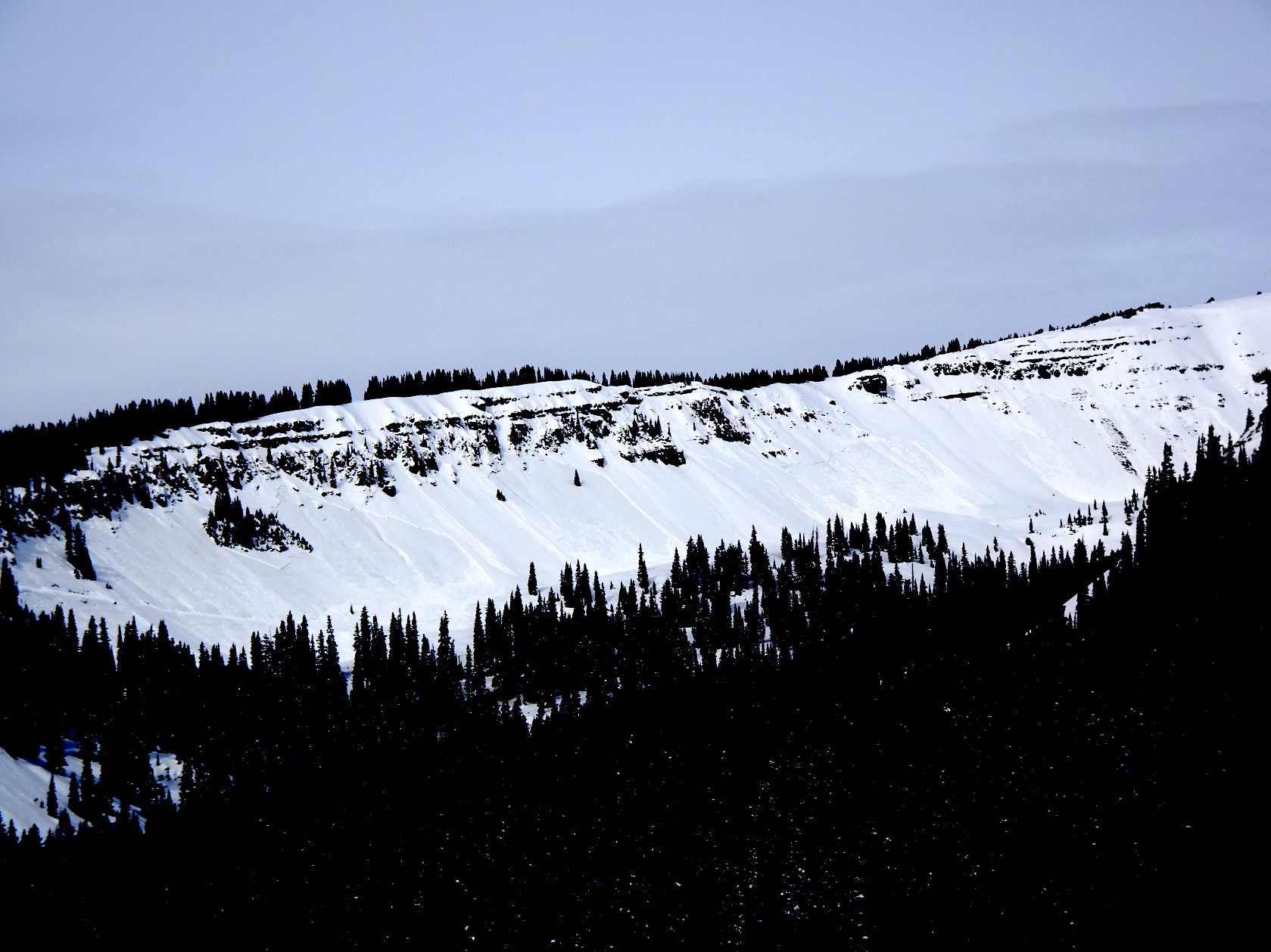
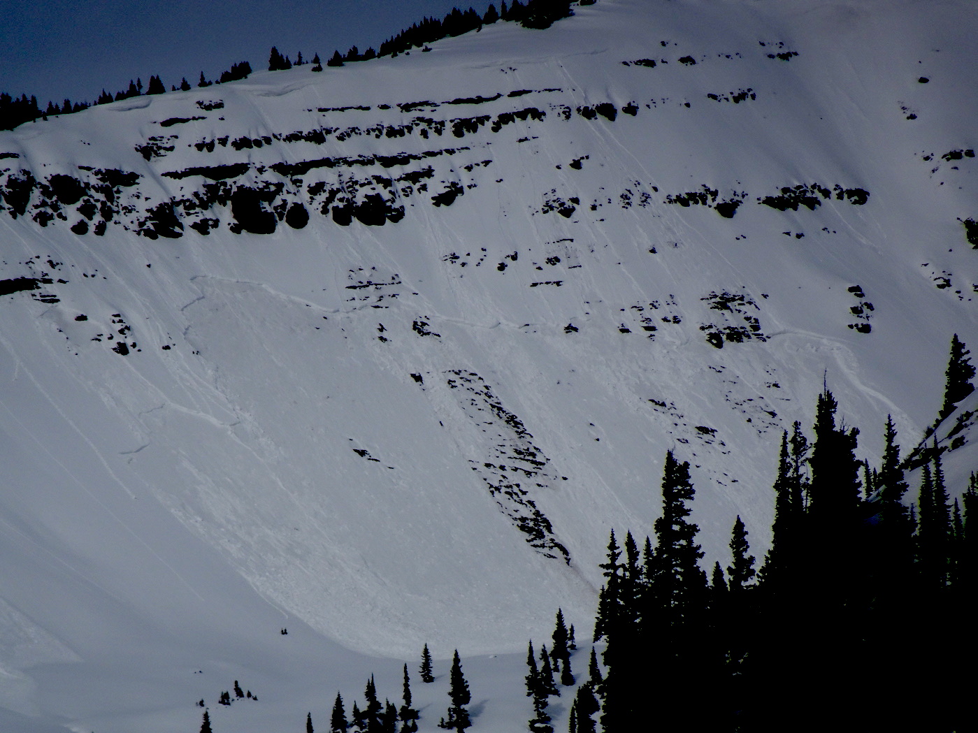
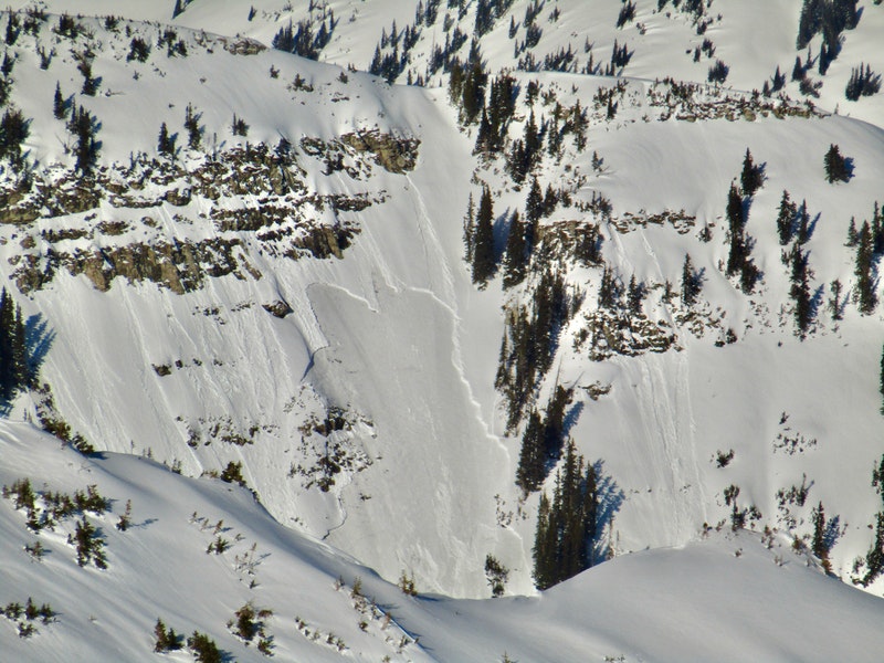
Avalanches: Noteworthy cycle of persistent slabs on the west side of the Ruby Range (W and SW aspects N/ATL). See photos. Many of these likely ran on Sunday triggered by wet loose slides or simply warming. The others ran mid storm on Saturday. These slides are important because they are the first persistent slab avalanches we’ve observed on these windward aspects since the new year.
In our travels today, the only steep slope we approached collapsed, cracked wall to wall, but didn’t slide. Small, unsupported rollovers were easy to trigger, soft slabs breaking on 1/19 interface, 18″ deep or so.
Weather: Creepy warm. Noticeably warmer on the west side of Kebler Pass. Mostly cloudy skies until clearing late afternoon.
Snowpack: Widespread collapsing below treeline, with some shooting cracks and collapses radiating over 200 feet across slopes. Emerging to near treeline, slabs are thicker and more stubborn. We didn’t get signs of instability underfoot near treeline, but tests produced consistent moderate propagating results down 2 to 3 feet under 1F slabs.
Snow surfaces were moist to 10,400′ on northerly aspects. Below treeline, the super soft slabs of earlier this week are now stiffer and capable of propagating further, thanks to settlement the last few days.
Snow surfaces going into the storm on north-facing terrain: Fist hard DF’s near and above treeline, not an alarming layer. Below treeline, and somewhat unique to our snowpack climate, we saw melt-layer recrystallization occurring at the end of the day (see photo), the result of warm, cloudy conditions melting the snow surface this afternoon and then abruptly changing to clear skies with good radiative cooling on the surface. Dry, small-grained facets over a soft meltfreeze crust exist below 10,400′ on the surface of shady aspects here. There were also isolated areas of surface hoar that got cooked off by the end of the day below treeline.


Photos:

Its warm out there on Snodgrass

CBAC2020-21 Observations

Date of Observation: 02/02/2021
Name: Eric Murrow


Zone: Southeast Mountains
Location: Snodgrass front side
Aspect: North East, East, South East, South
Elevation: 9,300′ – 10,600′


Avalanches: nothing new observed
Weather: Mostly cloudy skies early transitioned to partly cloudy skies in the afternoon. Mild air temps – felt a bit above freezing (weather stations confirmed temps in upper 30’s). Calm winds.
Snowpack: Traveled through a quiet area on the front side of Snodgrass as snow depths in this area match well with other shallow snowpack zones in the Southeast Mountains. East through South slopes was moist at the surface to the highest elevation I traveled – 10,600′. Some northeast meadows were moist below about 10k. Ski penetration on east and northeast slopes was around 6 to 8 inches with snowpack depths around 70cm on east and 90cm on northeast; boot penetration to ground everywhere. Settlement in the snowpack over the past few days was noticeable. Slabs above the mid-January weak layer were in the 25 to 30cm range with 4finger hardness at bottom of slab which I think fits nicely with other sheltered areas in the Southeast Mountains (snowpack tests all produced moderate ECTN scores).  Overall the snowpack is weak and even a modest loading event, say around 10 to 12inches, will likely start producing avalanches.

Photos:

[/gravityforms]

Pop goes the Weasel

CBAC2020-21 Observations

Date of Observation: 02/01/2021
Name: Zach Kinler Eric Murrow
Zone: Northwest Mountains
Location: Elk Creek

Aspect: North East, East

Elevation: 9,600-10,500

Avalanches: Remotely triggered two avalanches from ridge top. The first was from ~250 feet away while moving towards the top of a steep open slope, D1.5 with debris piling up deeply in the terrain traps below. The second was triggered while traversing the flats above a steep open slope. This avalanche was a D2 that ran 200+ feet.
Observed 1 small storm slab on a North aspect BTL as well as a D1.5 Persistent slab on a SE aspect BTL. Both likely ran Saturday.
Photos of previously reported avalanches from Sunday 1/31 in Elk Basin on near treeline southeast slopes.

Weather: High clouds drifted in making a warm day feel a bit cooler. High temps were at or just above freezing with calm winds.

Snowpack: The snowpack did the talking for us on this tour. We got a booming collapse as soon as we gained the ridge and while this lower angle slope did not run, it was obvious that conditions were right to produce an avalanche. The next couple steep, suspect slopes held strong as we stomped from the ridge and it wasn’t until we started moving towards the next slope that we got a faint collapse in the flats around a few trees about 250 feet from the top of the path and released the first of two remote triggers. This slope had little to no drifting, failing at the 1/19 interface down 47 cm. F-1F slab resting on F hard, large-grained near-surface facets(ECTP15 just above crown). We decided to continue up to one more path in order to gain a bit more information. After traversing across the top and moving from a weak and unsupported structure onto a drifted portion of the slab, we were able to get a collapse and remote trigger a D2 failing at the same interface down 55 cm in this drifted start zone(ECTP13 at the crown). Overall HS in this area has nearly doubled since 1/19 and averaged 120 cm.


[/gravityforms]

More avalanche obs

CBAC2020-21 Observations

Date of Observation: 01/31/2021
Name: Ben Pritchett


Zone: Northwest Mountains
Location: Views in around the West Elks, Ruby Range, and Elk Range.

Avalanches: Lots of avalanche activity up-valley from Crested Butte. Kebler Pass, Ruby Range, and the main Elk Mountains all went through a cycle of mostly D2 avalanches. East to southeast near and below treeline had the most number of avalanches. Many of these avalanches near and below treeline broke broadly, and generally deeper in the snowpack, failing on buried persistent weak layers. Some of these released as late in the day as 3:30pm on east-facing terrain. Above treeline many slides released in the storm snow earlier in the loading event (January 30) on north through northeast to east-facing slopes. These had softer, lightly filled in crowns and were mostly small relative to the paths though some were D2’s in destructive size.


Photos:

Slides in Robinson Basin

CBAC2020-21 Observations

Date of Observation: 01/31/2021

Zone: Northwest Mountains
Location: Robinson Basin
Aspect: East, South East
Elevation: NTL


Avalanches: See photos of large natural persistent slab avalanches on E/SE aspects of Robinson Basin that ran today

Photos:

Turning up the heat

CBAC2020-21 Observations

Date of Observation: 01/31/2021
Name: Zach Guy


Zone: Northwest Mountains
Location: Baxter Basin
Elevation: 9,600 – 11,700 ft

Avalanches: Numerous natural D2 to D3 persistent slabs ran yesterday or today, mostly above treeline, appeared to be all on 1/19 interface, 3 to 6 feet deep. See photos/captions for details.
Handful of smaller windslabs D1 to D2 ran yesterday, near and above treeline. No natural wind slabs today.
Active loose avalanches throughout the day on the southern and eastern halves of the rose, all elevations, starting as dry loose and evolving to moist or wet loose by end of day. Mostly D1-D1.5 and a couple of D2. Countless small loose dry ran yesterday.
Weather: Unseasonably warm on sunny slopes. Clear skies. Calm winds
Snowpack: 15″ of settled new snow at basin bottom, about 20″ at upper elevations. The 1/19 facet layer is down 4 feet deep below treeline. No shooting cracks or collapses underfoot, but we mostly traveled on a skin track that someone else put in this morning. Rollerballs, ongoing natural avalanche activity (both sluffs and slabs), and rapid warming of the upper snowpack on sunny aspects were all glaring signs of instability to stick to mellow terrain and give runouts a wide berth, which we did. Trailhead was the most crowded I’ve ever seen, but glad to see conservative terrain choices and simple terrain selection by users today.


Photos:

Multiple Remote Triggers

CBAC2020-21 Observations

Date of Observation: 01/30/2021

Zone: Northwest Mountains

Avalanches: Remotely triggered 5 large persistent slab avalanches while ascending a ridge near treeline. Super sensitive. Deepest crown was about 6 feet deep. They all stepped at least in part through last week’s snow. Ran with substantial energy and large powder clouds.

CBAC note: We gathered this observation from a social media post. Details are forthcoming.


Photos: