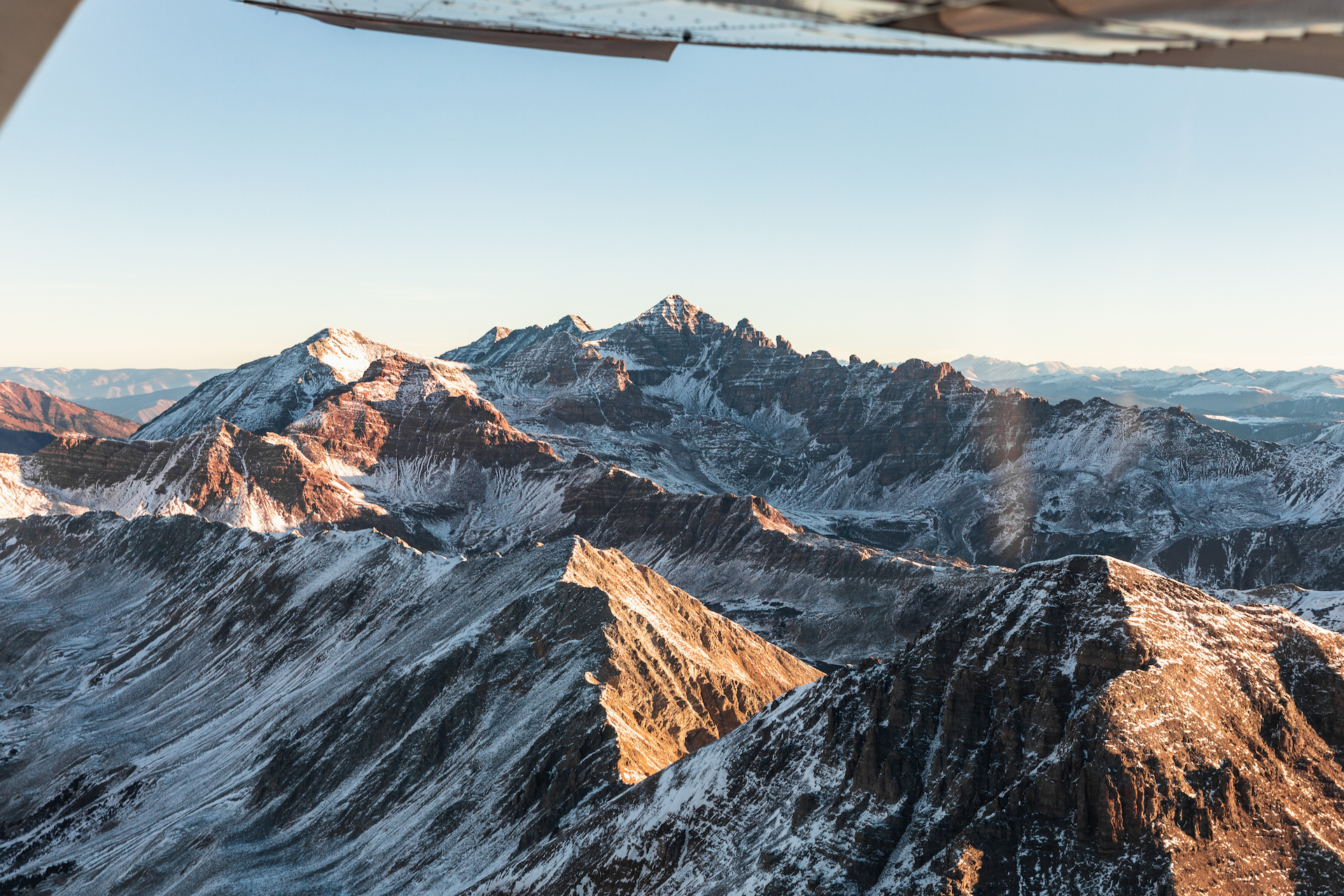

Kebler Pass afternoon obs

CBAC2020-21 Observations

Zone: Northwest Mountains
Location: Kebler Pass to Anthracites ridgeline
Date of Observation: 11/14/2020
Name: Zack Kinler Eric Murrow

Subject: Kebler Pass afternoon obs

Aspect: North, North East, East, South East, West, North West

Elevation: 10,000 to 11,250

Weather: Decreasing cloud cover, no accumulating snowfall, and strong northwest winds afternoon. Air temps noticeably decreased throughout the tour. Blowing snow was common at all elevations; much of the transported snow near and above treeline was blasted into the atmosphere or loaded lower on slopes than usual.

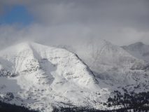
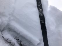
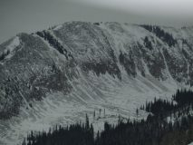
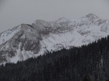
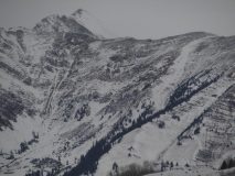
Snowpack: It was difficult to find a good place to measure the new snow, but it was around 10 to 12 inches. Strong northwest winds pounded through much of the open terrain leaving soft, “breaker” wind board mixed in with some pockets of soft snow. Snow surfaces were disturbed by the wind on almost all slopes. Westerly and northwesterly alpine features were largely blown back to ground.

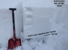
We traveled through BTL and NTL northerly slopes largely looking at the old snow from October. Snow depth was around 60 cm. In this area, NE and N facing slopes had developed a soft crust around an inch thick (~2cm) above the thin layer of weak snow at the ground. Tests did not produce propagating results. We did not experience any significant cracking or collapsing, but we did not travel through any features with significant previous drifting. The weak layer may have been a bit too thin to overcome ground roughness through much of the terrain we looked at.

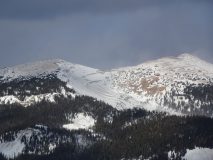
Crossed a southeasterly slope at 11,200′ and found the new snow sitting on a soft crust around an inch thick.

Photos:

7 am Gothic Weather Update

CBAC2020-21 Observations

Zone: Southeast Mountains
Location: Gothic Townsite
Date of Observation: 11/14/2020
Name: Billy Barr
Subject: 7 am Gothic Weather Update

Weather: Very strong wind overnight with snow starting around midnight and blizzard conditions. Moderate snowfall with 5″ new and water 0.35″ and steady west wind 10-15, gusts into the 30’s. Currently the snowpack is at 10″ with no visibility, strong wind and light snowfall.

Schofield Pass walkabout

CB Avalanche Center2020-21 Observations

Zone: Northwest Mountains
Location: Schofield Pass / Elko Park – Parked at Rock Slabs before Emerald Lake gorge. Skied Schofield Pass road into Elko Park.
Date of Observation: 11/13/2020
Name: Ben Pritchett

Subject: Schofield Pass walkabout

Aspect: North West

Elevation: Near Treeline

Weather: Ridgeline Wind Speed: 5-10 mph
Ridgeline Wind Direction: W
Wind Loading: None
Temperature: 30 F
Sky Cover: Overcast
Depth of Total Snow: 50 cm
Weather Description: Light snow showers in morning with only a trace of accumulation. The sun returned in the afternoon under partly cloudy skies. Light winds with no transport seen at ridgetops.

Snowpack: Snowpack Description: Went looking at northwest-facing terrain to see if it will be problematic with the next storm. Found many alpine northwest facing slopes wind-scoured back to rock. But near and below treeline I found a layer of weak faceted snow near the ground, similar to what’s present on north and northeast facing terrain. The biggest difference is that on some slopes there’s also a thin melt-freeze crust above the faceted snow that’s worth keeping an eye on as slabs develop this winter. The snowpack on east to south to west facing terrain remains dense, rounded, and supportive to a skier’s weight.

Photos:

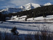
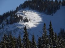
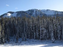
Photos from Kebler Pass road.

CB Avalanche Center2020-21 Observations

Zone: Northwest Mountains
Location: Anthracites
Date of Observation: 11/13/2020
Name: Ben Pritchett

Subject: Photos from Kebler Pass road.

Aspect: North West

Elevation: Near Treeline

Snowpack: Fairly consistent coverage without dramatic wind scouring.

Photos:

Small naturals

CBAC2020-21 Observations

Zone: Northwest Mountains

Location: Ruby Range

Date of Observation: 11/11/2020

Name: Zach Guy

Subject: Small naturals

Aspect: East

Elevation: to 11,800′

Avalanches:

Good views of various aspects in the Ruby Range. Nothing significant of note, although winds had reworked the surfaces in the last couple of days. I noted one small debris pile below the south face of Mineral Point (see photo), and got a second-hand report of a small debris pile below the north face of Ruby.

Weather: Clear skies, light winds with occasional drifting snow. Strong diurnal temperature swing.

Snowpack: Traveled primarily on east aspects: no signs of instability, just recent snow on dirt. The snow surface is already starting to facet.

Photos:

Welcome back winter!

CBAC2020-21 Observations

Zone: Northwest Mountains

Location: Upper Slate

Date of Observation: 11/10/2020

Name: Zach Guy and Zach Kinler

Subject: Welcome back winter!

Aspect: North East, East, South East

Elevation: 9700-11,600′

Avalanches:

None observed. Limited visibility of alpine terrain.

Weather: Broken to overcast skies. Moderate northwest winds at ridgetop. Very light snowfall (S-1).

Snowpack: Simple snowpack with minimal signs of instability. 15″ to 18″ of right-side-up storm snow across previous bare ground. Previous drifting from the southwest had left drifts up to 3′. Shifting winds were lightly redistributing the snow off of northerly aspects this afternoon. In a few wind drifted features, we produced stubborn cracking up to 10″ deep and 8′ long. We went sniffing for a persistent slab problem on shady aspects here but couldn’t find direct feedback. On a northeast aspect at 11,000′, we found old faceted and crusty snow near the ground, but it wasn’t propagating in pits and didn’t produce any obvious signs of instability (see photo). The layer was only an inch thick on the ground and somewhat discontinuous here due to rocks and shrubs.

Photos:

Gothic 11/9

CB Avalanche Center2020-21 Observations

Zone: Northwest Mountains

Location: Gothic Campground

Date of Observation: 11/09/2020

Name: steve banks


Subject: Gothic 11/9

Aspect: North East

Elevation: 9,500

Avalanches:

none


Weather: Temps in the 20’s with intermittent down valley winds. Snowfall ranged from S-1 to S2 with an additional 1.5 inches of accumulation from noon to 3 pm

Snowpack: 8-10″ total snowpack. We did see cracking and some slumping of the very new snow which was surprising given the F to F+ hardness of the snowpack. Snow at the ground was moist and easily created snowballs.

Photos:

pow on facets

CB Avalanche Center2020-21 Observations

Zone: Southeast Mountains

Location: Coneys

Date of Observation: 11/10/2020

Name: Lawson yow


Subject: pow on facets

Aspect: North East

Elevation: 11,000

Avalanches:

Not really. Was able to stomp on some baby cornices and get some small cracks.


Weather: Pretty cold, medium windy.

Snowpack: between 6-12 inches fresh, soft snow on top of .25-1″ of facets. Top layer not very cohesive, didnt propagate long cracks.
Dug a sloppy ECT, sheered cleanly when i shovel pulled it. Collapsed itself when i hammer tapped it. ECT 20something.

October flyover

CBAC2020-21 Observations

Zone: Northwest Mountains

Location: Elk Mtns and Ruby Range

Date of Observation: 10/29/2020

Name: Mason Schultz


Subject: October flyover

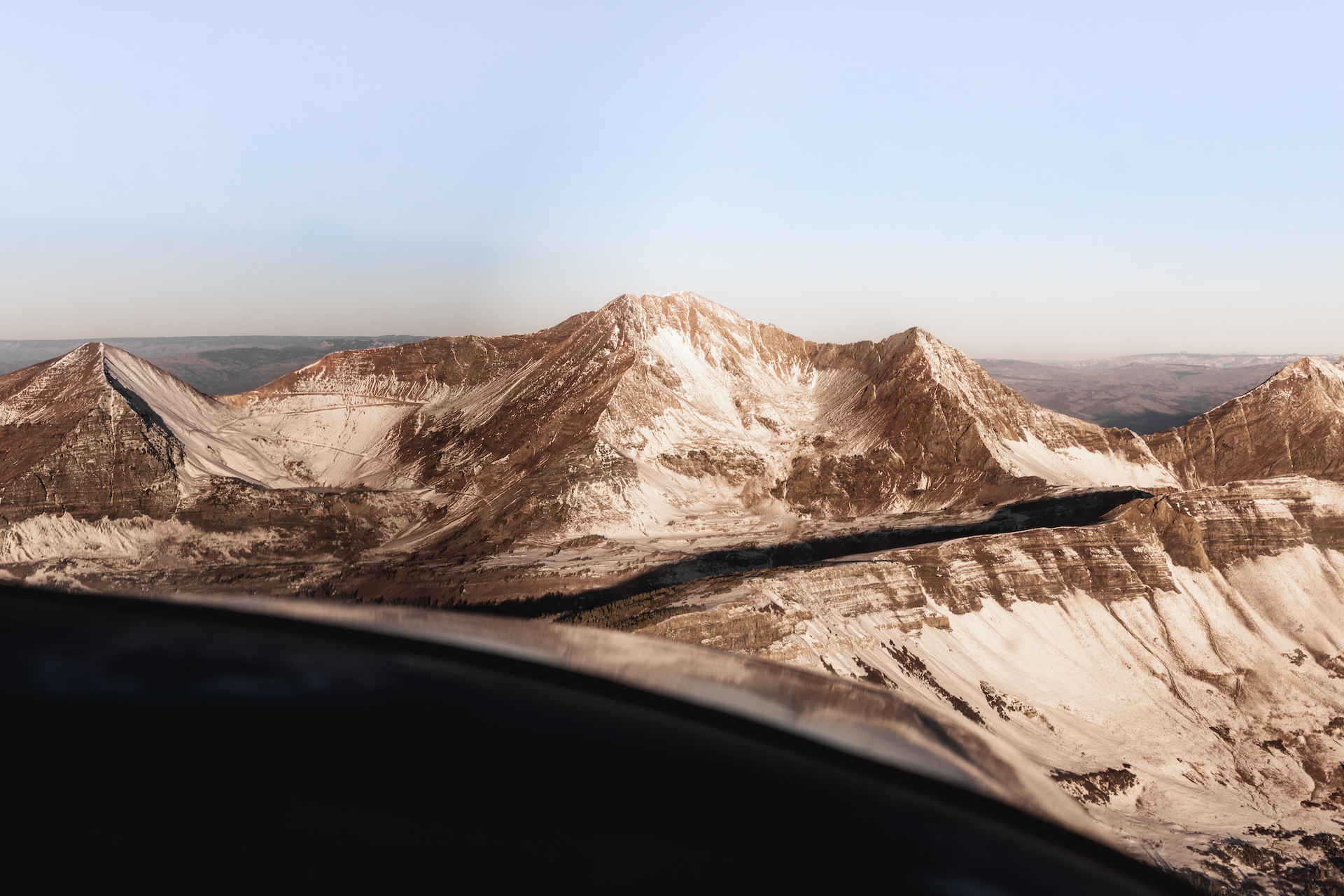
Snowpack: See photos from October 29, 2020 flight.
CBAC note: The additional week of dry, warm weather following this flight and prior to the November 6th storm further melted snow coverage back, especially on E, S, and W aspects.

Photos:

Roadside drive up Gothic and Slate River

CB Avalanche Center2020-21 Observations

Zone: Northwest Mountains

Location: Drove to the Rock Slabs parking lot just before Emerald Lake in Gothic Valley. In Slate drove to Pittsburg.

Date of Observation: 11/08/2020

Name: Ben Pritchett


Subject: Roadside drive up Gothic and Slate River

Aspect:

Elevation:

Avalanches: Saw one relatively thin slab avalanche in extreme / cliffy terrain in the north bowl on Gothic Mountain.
Date Location/Path # Elev Asp Type Trig SizeR SizeD
View 2020/11/08 † Gothic 1 >TL N SS N R1 D2

Weather: Ridgeline Wind Speed: 10-20 mph
Ridgeline Wind Direction: SW
Wind Loading: Moderate
Temperature: 25 F
Sky Cover: Overcast
Depth of New Snow: 20 cm
Depth of Total Snow: 20 cm
Weather Description: Snowing at sunrise, skies broke through AM hours, then clouds increased and cloud bottoms dropped to near peak height through the early afternoon. Snowfall began again around 3-4pm.

Snowpack: Snowpack Description: Snow depth in the valley bottom near Crested Butte was around 3-5″, nearing a foot as we approached Schofield Pass and Pittsburg. Second hand report of 12″ in the townsite of Irwin measured by a reliable observer.
Forecast BC Danger Level: Moderate
Observed BC Danger Level: Low in the majority of the terrain seen. Mostly ice and a bit of new snow on dirt.
Changes that would raise danger to high: 2+” SWE

Photos: