Cement Creek

CB Avalanche Center2020-21 Observations

Date of Observation: 02/13/2021


Zone: Southeast Mountains
Location: Cement Creek Road
Aspect: South East


Avalanches: Toured out Cement Creek road. D2 avalanche ran from ridge and stopped just after crossing road. Some broken trees. Ran 1500 ft? Road is passable over debris.
Weather: Snow and blowing snow.


Photos:

Washington Gulch-Coneys

CB Avalanche Center2020-21 Observations

Date of Observation: 02/13/2021
Name: Andrew Breibart


Zone: Southeast Mountains
Location: Washington Gulch-Coneys
Aspect: North East, East
Elevation: BTL


Avalanches: Observed at least 4 distinct avalanches ranging in D0.5 to D2 between Meridian Lake and the Long Lake T.H. See pictures. These are natural avalanches that appear to have triggered between 02/12/21 and 02/13/21. The one closest to Meridian Lakes appears to have failed on basal facets.
Weather: Obscured skies and light winds at all elevations. S2 to S3 snowfall.
At the car, visibility was minimal and could not see avalanches observed from the road at 10:15 AM.
Snowpack: Ski pen off the skin track in an open are 1/2 the way up was about 12 inches. Underneath new snow, felt a slab 6 to 8 inches deep with faceted grains below (ski pole probe). No cracking or collapsing in this area.

Along the ridge, both of us stomped on terrain between first bowl and our line with no cracking or collapsing. Ski pole probin didn’t find faceted grains. Beneath the new snow, it took a lot of force to penetrate below the new snow. This was a localized probing.


Photos:

Crested Butte snowpack structure

CB Avalanche Center2020-21 Observations

Date of Observation: 02/12/2021
Name: Jared Berman, Jack Caprio, Zach Kinler, Zach Guy

Zone: Southeast Mountains
Location: Zone A and Zone C paths near downtown Crested Butte
Aspect: East, North West
Elevation: 9,000′


Snowpack: Looked at two snowpits to observe snowpack structure adjacent to municipal start zones. Both showed unstable structures with moderate propagating results below 45 to 70 cm slabs.

Pit 1 was dug on the west end of Elk Ave (Zone A)

Pit 2 was dug on the west end of Red Lady Ave (Zone C)

See snow profiles in photos.


Photos:

It looks like Winter

CB Avalanche Center2020-21 Observations

Date of Observation: 02/11/2021
Name: Zach Kinler
Zone: Northwest Mountains
Location: Anthracites
Aspect: North, North East, East
Elevation: 10,000′-11,400′

Avalanches: One small Wind Slab in Red Lady Bowl, east aspect off the lookers left ridge.

Weather: Mostly cloudy, cool west breeze at ridgetop. Minimal snow transport near tree line but winds were moving snow in alpine terrain along the Ruby Range and Scarps Ridge.

Snowpack: Nice to have to use a probe to find the bottom of the snowpack instead of a ski pole or my hand! The 2/3 interface was 70 cm deep and easy to identify by the graupel layer however stability tests revealed small facets a few centimeters below the graupel. There were 2 Surface Hoar layers around the 1/19 interface with a few centimeters of 1F snow in between. This “sandwich” was failing as one in tests. This interface was buried 110 cm deep. Both interfaces popped in short column tests but produced no propagating results in ECTs. We observed no cracking or collapsing. Warm temps and a deeper snowpack have allowed these weak layers to adjust, for now. They will be tested this weekend with another strong storm moving in.


Photos:


A few more recent slides below treeline

CB Avalanche Center2020-21 Observations

Date of Observation: 02/09/2021
Name: Zach Guy


Zone: Southeast Mountains
Location: Happy Chutes, East River
Aspect: East
Elevation: BTL

Avalanches: Saw a few more slides below treeline that appeared to have run in the last few days, probably over the weekend. A D1 slab in Happy Chutes and a D2 and D1 on the east side of Mt. Crested Butte.


Photos:

Very Variable in western Taylor Park

CB Avalanche Center2020-21 Observations

Date of Observation: 02/09/2021


Zone: Southeast Mountains
Location: Taylor Park
Aspect: North, North East
Elevation: 9400-12100ft.


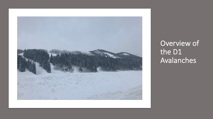
Avalanches: (I realize Taylor Park is outside of the CBAC forecast area, but figured since it’s close and most easily accessed through our county I’d provide some basic observations, if appropriate).

No avalanches observed due to slopes traveled through being less than 30 degrees in pitch, and low visibility preventing us from seeing other surrounding peaks.

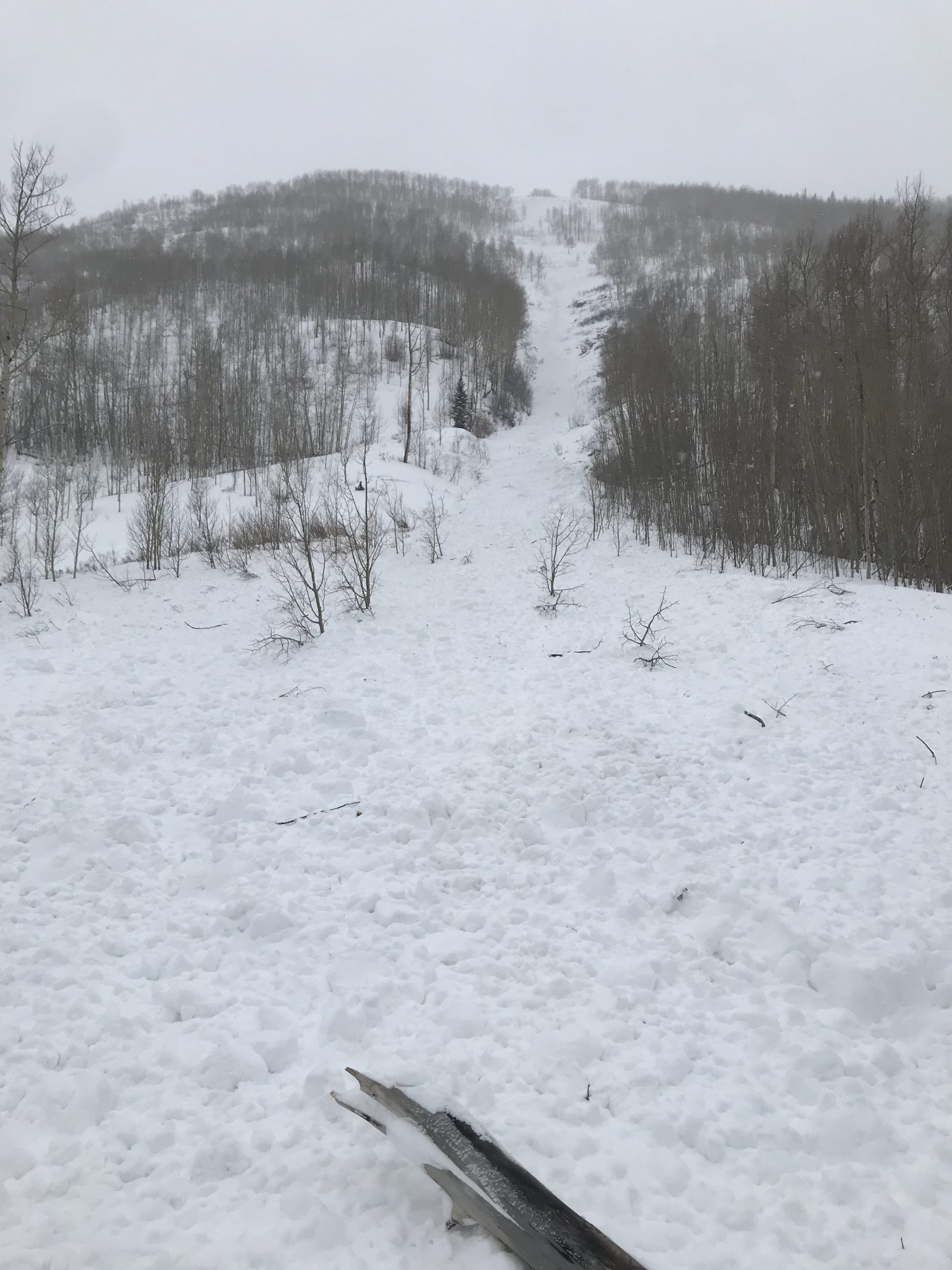
Multiple small-large collapses in low angle terrain. 2 slab fractures/collapses on wind-loaded convexities, with both slopes in the 28-30 pitch at their steepest, and cracks propagating 30-60 feet. On inspection of the second collapse, 1F hard wind slab appeared to have broken on basal facets. The snow pack here was deeper than anywhere else probed during the tour, about 3 feet.
Weather: Low visibility, S1, winds estimated at 0-20 mph, temps ranging from roughly 30-20 degrees.
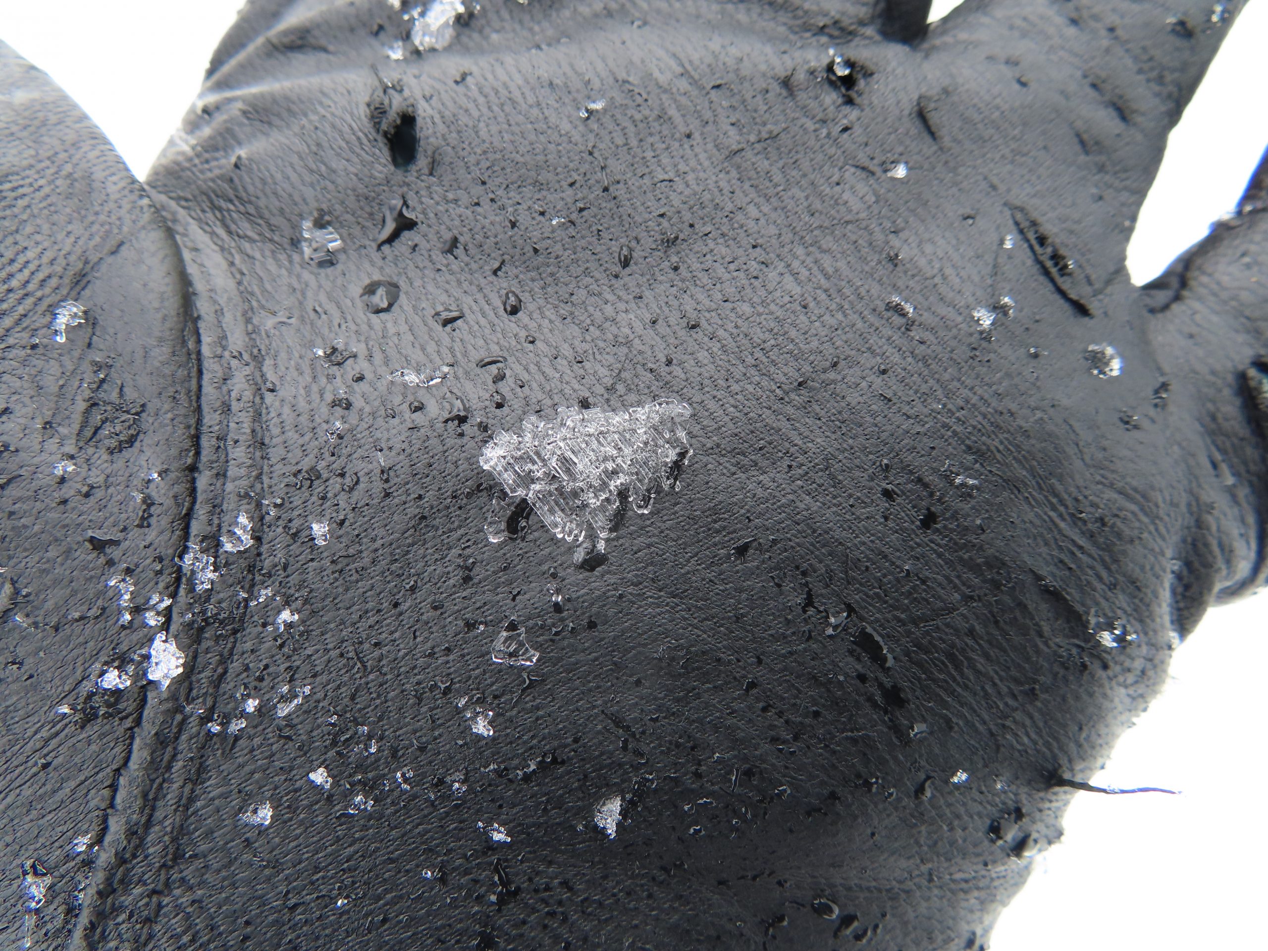
Snowpack: Very variable! Ranges from a few inches to about 3 feet. In many places the entire snowpack was faceted through. In some places we found F-1F slabs on top of facets. In a few isolated wind tunnels we found P hard slabs that we couldn’t get to collapse or crack with two people jumping on. Overall it appeared that the western portion of Taylor park did not receive much of the recent snow.


Photos: