Observations

02/18/21

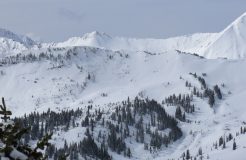
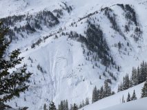
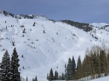
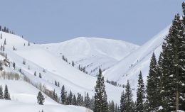
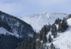
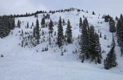
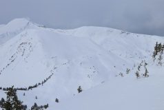
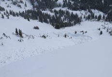
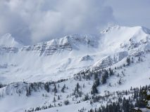
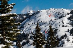
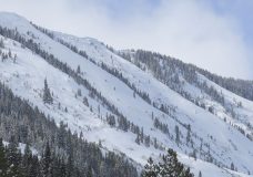
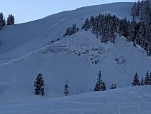
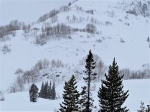
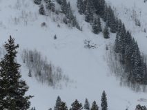
Fresh avalanche on Avery

Date of Observation: 02/18/2021
Name: BIlly Barr


Zone: Southeast Mountains
Location: Avery diamond
Aspect: South West
Elevation: above treeline


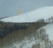
Avalanches: Fresh avalanche observed on Avery Diamond
Weather:
Snowpack:


Photos:

Read Full Observation
02/18/21

Pockets the Clown

Date of Observation: 02/18/2021


Zone: Northwest Mountains
Location: Slate
Aspect: North East, South West, West
Elevation: BTL


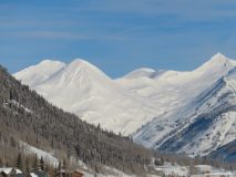
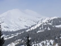
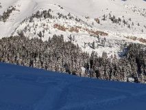
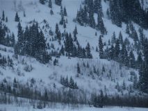
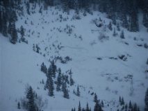
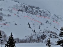
Avalanches: Two pockets pulled out across the valley that I did not see earlier. None seen near, around or above us except for some small surface stuffs.
Weather: awesome
Snowpack: I did not dig, probe or prod so I cannot say. Punched through the “midpack” on one old man air onto short 38-degree pitch did not propagate anything. Ski pen 8-10 inches when skiing.


Photos:

Read Full Observation
02/17/21

NW Mountains Avy Photos

Date of Observation: 02/17/2021
Name: Evan Ross Eric Murrow

Zone: Northwest Mountains
Location: Slate River
Elevation: 9,000-12,000

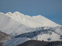
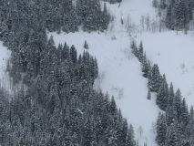
Avalanches: There were two notable avalanche events from the last 24 hours. A pair of deep and wide propagating avalanches, above treeline, on an E-SE facing ridge of Treasury Mountain. Call it a couple of D3’s. The other avalanche in the last 24hr was a soft slab avalanche, NE facing terrain, above treeline, off scarps ridge, D2. These avalanches probably release yesterday evening during the period of increased winds.

Otherwise, there are loads of D2-D3 avalanches. The noticeable ones would have all released roughly between 2/12 and 2/14. We’ll just round it to Saturday 2/13 and lump them into last weekend’s natural avalanche cycle. These were all persistent slab avalanches releasing deeply into the snowpack and some propagating very wide across terrain features.

Of other particular note was all the avalanche activity on the west and southwest side of Anthracite Mesa. Some of those avalanches have been previously reported. In summary, there are about 5 D2’s and a few other D1.5’s on NTL type terrain.

Unfortunately by the time we got to a good vantage point flat light was setting in. So many crowns are hard to see in photos.

Weather: Calm winds. Clear sky became overcast in the afternoon.

Snowpack: Didn’t find the same recent snow totals out the slate and on the flanks of Baldy, that were recently reported from Irwin. Around 4″ of new snow on a soft crust was common in that area. While the overall feel was much deeper given the lovely consistent snowfall we’ve seen lately. We observed one good collapse, but it didn’t produce any cracking on steeper nearby slopes. Otherwise, we were traveling on a constantly deep snowpack greater than 150cm’s and didn’t notice any signs of instability.

Read Full Observation
02/15/21

The Great Wall Of Crowns

Date of Observation: 02/15/2021
Name: Evan Ross Zach Guy

Zone: Northwest Mountains
Location: Schuylkill Ridge
Aspect: North East
Elevation: 9,000-11,400

Avalanches: Not too much to add to the previously documented avalanches. The North Bowl of Peeler Peak had a wide propagating and very large avalanche that wasn’t reported. This avalanche was similar to the previously reported avalanche on the East Bowl of Peeler. Both of those crowns propagated through multiple aspects. The other unreported avalanche was rather fresh looking. It was located at 11,000ft on a west aspect of Anthracite Mesa.

Of other particular note: There were 3 very large avalanches on Skooks that were first observed on Saturday Morning 2/13. These avalanches were estimated to have run during Friday/Saturday morning increased winds, and before the winds calmed during Saturday’s storm. We checked on one in Thanksgiving Bowl. This bowl has seen a number of different avalanches this season. This particular avalanche pulled all the way back to the ridge, had a max crown height near 4 meters. It was just another very large avalanche to crush the valley in February.

Weather: Cloud cover increased by noonish to mostly cloudy high thin clouds. Still some nice light filtering through at times. Calm winds. Cool temps.
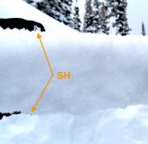
Snowpack: Schuylkill Ridge should probably be renamed the Great Wall Of Crowns by this point. We have plenty of observations of all the activity, many different avalanches, and groups of avalanches from different cycles throughout this season. We got another chance to check back in on the wall this afternoon.
Of course no obvious signs of instability. That statement mostly comes from traveling on where the snowpack is full depth and weak layers are far below, or from avalanche paths that have previously run and not redeveloped a slab. HS averaged around 165 to 185cm between 10,100ft and 10-500ft, for slopes that are mostly holding the full season snowpack. We eventually skied an avalanche path that ran on 2/5 and had about 50cm’s of snow loaded back on the bed surface.

Read Full Observation
02/14/21

Washington Gulch Avalanches

Date of Observation: 02/14/2021


Zone: Northwest Mountains
Location: Washington Gulch

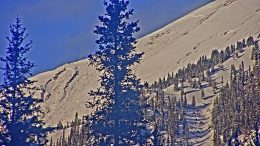
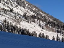
Avalanches: A lot of avalanches out Washington Gulch. Mostly near treeline. I think crowns were 6 to 8 feet thick? Looked big next to trees. Several of the slides appeared today, maybe ran naturally or triggered by sleds romping around.


Photos:

Read Full Observation
02/13/21

Piling up

Date of Observation: 02/13/2021
Name: Zach Guy


Zone: Northwest Mountains
Location: Anthracite Mesa
Aspect: South West, West
Elevation: 9500 – 11200′


Avalanches: Limited visibility but we spotted a handful of natural slab avalanches that ran in the past 24 hours. A number of D1 to D2s below treeline (most appeared to be persistent slabs). Several larger ones off of Schuykill Ridge, I believe at least one more D3 that snapped trees and hit the valley floor from the “Great Wide Open”. Light was too flat to see crown but debris looked fresh.
Weather: Snowfall started around noon – moderate to heavy (S2 to S5) throughout the rest of the day. About 4″ or 5″ of accumulation by sunset. Light ridgetop winds with moderate gusts and some light snow transport. Winds were channeling up valley out of the south.
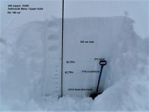
Snowpack: About 20″ of storm snow since Friday morning. We only observed a few signs of instability underfoot, but they were quite alarming: huge collapses and shooting cracks opening up hundreds of feet away. Test pit on a southwest aspect at 10,300′ showed hard propagating results at the 2/3 crust and 1/19 crust/facet layer. The latter is three feet deep. The 12/10 layer was about 5 feet deep, and sadly, still fist hard. Crappy structure, even for a deeper snowpack.


Photos:

Read Full Observation
02/12/21

WEEKLY SNOWPACK, WEATHER, AND AVALANCHE SUMMARY 2/12/21

Date: 02/12/2021

Author: Jared Berman

Zone: Crested Butte Backcountry


AVALANCHES, AVALANCHES, AVALANCHES! Our snowpack is getting deep and avalanches are becoming large! This week our zone has seen the most impressive avalanche cycle of the season. Check out the weekly snowpack summary to learn all about it.

Read Full Observation
02/12/21

Someone shook the snow globe

Date of Observation: 02/12/2021
Name: Zach Kinler
Zone: Northwest Mountains
Location: Anthracites
Aspect: North, North East
Elevation: 10,000′-11,400′

Avalanches: No new avalanches observed, no vis of the surrounding terrain.

Weather: Cloudy, dumping snow for most of the tour, S5 average. Winds were calm to light in sheltered terrain increasing early afternoon with moderate gusts near tree line. Temps felt perfect for making snow.

Snowpack: 5″ on the skin track in the morning around 10:00 and 6″ when we returned at 14:30. 11″ HST and still going!. Small sluffs on the first couple runs turned into more storm slab type instabilities(upper 6″ of new snow) by the last run as increasing winds and snow density gave some “slabby-ness” to the newest snow. Managed the deeper weak layers by avoiding drifted slopes and the larger, un-supportive slopes and convexities.


Read Full Observation
02/12/21

Touchy wind/storm slabs at Irwin

Date of Observation: 02/12/2021
Name: Irwin Guides


Zone: Northwest Mountains
Location: Irwin Tenure

Avalanches: Near and ATL new Storm/Wind Slab trended Reactive to Touchy with increasing fracture length through the day, approaching D2 by the late PM.
Weather: HST: 8″/.65″ with mod/heavy transporting SW-WSW wind.
Snowpack: New snow is a bit upside down with 5″ of 10% on top of 3″ of 5%.


Read Full Observation
02/11/21

It looks like Winter

Date of Observation: 02/11/2021
Name: Zach Kinler
Zone: Northwest Mountains
Location: Anthracites
Aspect: North, North East, East
Elevation: 10,000′-11,400′

Avalanches: One small Wind Slab in Red Lady Bowl, east aspect off the lookers left ridge.

Weather: Mostly cloudy, cool west breeze at ridgetop. Minimal snow transport near tree line but winds were moving snow in alpine terrain along the Ruby Range and Scarps Ridge.

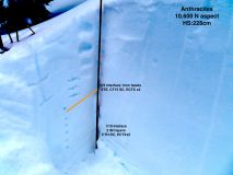
Snowpack: Nice to have to use a probe to find the bottom of the snowpack instead of a ski pole or my hand! The 2/3 interface was 70 cm deep and easy to identify by the graupel layer however stability tests revealed small facets a few centimeters below the graupel. There were 2 Surface Hoar layers around the 1/19 interface with a few centimeters of 1F snow in between. This “sandwich” was failing as one in tests. This interface was buried 110 cm deep. Both interfaces popped in short column tests but produced no propagating results in ECTs. We observed no cracking or collapsing. Warm temps and a deeper snowpack have allowed these weak layers to adjust, for now. They will be tested this weekend with another strong storm moving in.


Photos:


Read Full Observation
The blog.