11/28/20
Poverty Gulch
Zone: Northwest Mountains
Location: Poverty Gulch
Date of Observation: 11/28/2020
Name: Evan Ross
Subject: Poverty Gulch
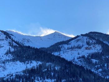
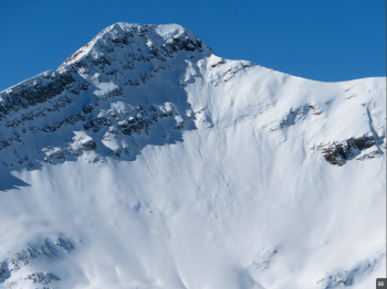
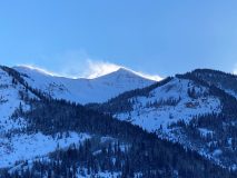
Aspect: North East, East
Elevation: 9,500-12,000
Weather: Another beautiful weather day. Light winds at ridgeline and high temps felt like they reached into the upper 20’s to near freezing.
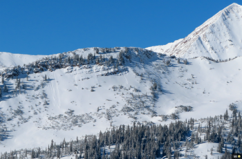
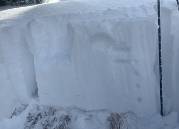
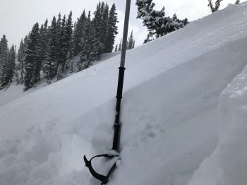
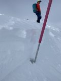
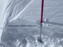
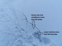
Snowpack: It’s sad to see the cold clear nights faceting away the upper snowpack. The mid-pack still had good support for now, and the combination of the weak upper snowpack and stronger mid-pack is keeping the skiing good. Unfortunately we are watching or snowpack go its typical Continental direction.
Focusing on the now, and not what we’re going to be dealing with later. Normal caution feels spot on. Or, good group travel techniques, while keeping an open eye out for something isolated that doesn’t look or feel right. It’s getting hard to call a specific or particular increased hazard to manage, but rather the standard general awareness and normal caution seem most appropriate.
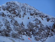
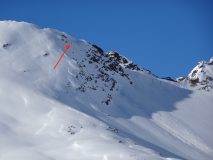
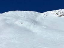
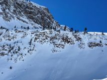
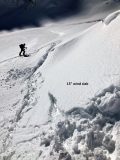
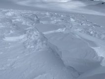
There were several old sluffs in the terrain, and fresh skier triggered sluffs in steep terrain. These were to small to pose much of a hazard, but highlight the weakening snowpack all the way up to upper elevations.
Read Full Observation