Mountain Weather 1/23/16

CB Avalanche CenterWeather

Date: 01/23/2016

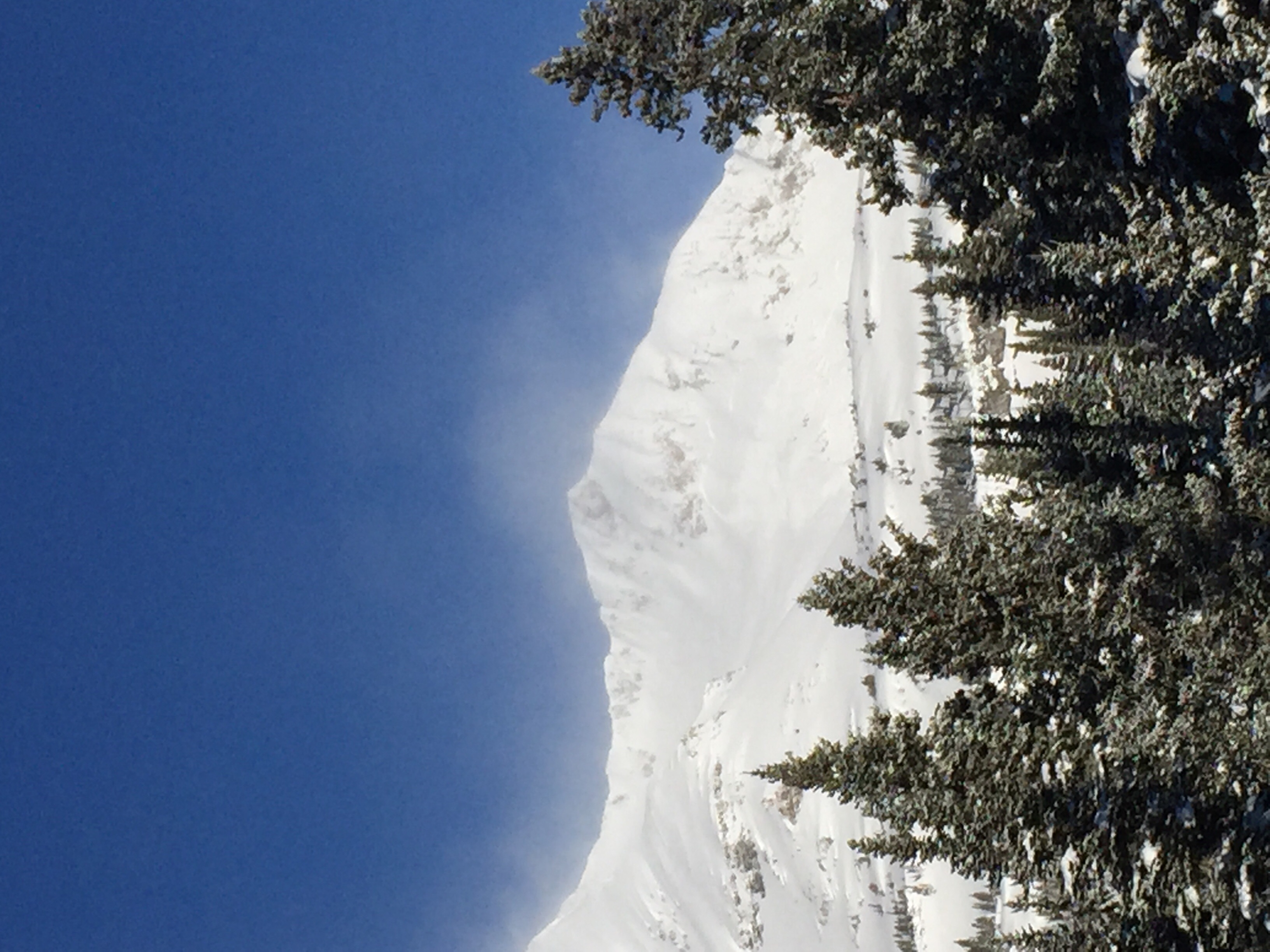
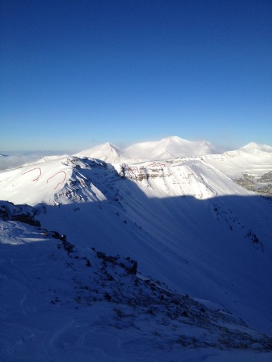
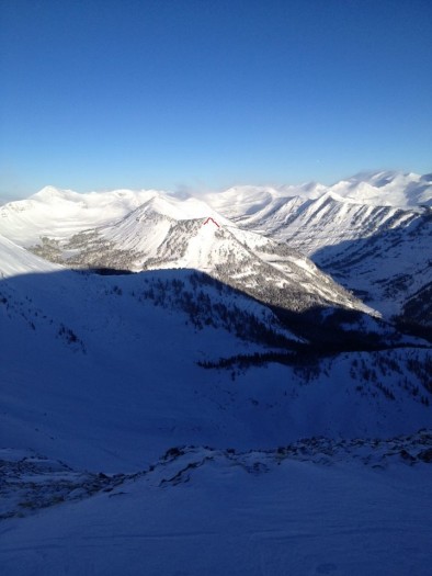
Another warm day is in store as southwest flow ahead of the next Pacific trough brings increasing high clouds through the day. Snowfall kicks off on Sunday afternoon as a fast moving cold front brings a band of heavy snowfall across our mountains. Northwest orographic snowfall will linger into Monday, favoring the Kebler and Paradise Divide areas again.

Mountain Weather 1/22/16

CB Avalanche CenterWeather

Date: 01/22/2016

Strong inversions are in place this morning, with mountain temperatures near 20 degrees while valley temps are close to -10. A strong but short-lived ridge of high pressure will bring clear skies, warming temperatures, and calm winds today. Clouds increase on Saturday under strengthening southwest flow ahead of the next Pacific system. Good moisture and west to northwest orographics will once again put the western portion of our zone in the bullseye, with a 24-hour snowfall event kicking off on Sunday.

Preliminary Accident Investigation on Ruby

CB Avalanche Center2015-16 Observations, Accidents, Avi-map 15-16

Edit 1/31/16:  The final report is now available here.
Location: Kebler Pass Area
Date of Observation: 01/21/2016
Name: Zach Guy
Subject: Preliminary Accident Investigation on Ruby
Aspect: East, South East
Elevation: 11,000 ft. Near Treeline

Avalanches: Our deepest condolences go out to all of those involved or affected by this incident. Below are preliminary avalanche details from a site visit shortly after the incident. Full accident investigation and report to follow. At approximately 13:45, two people riding “Canadian” on a snowmobile unintentionally triggered a large soft slab avalanche that failed in old snow layers. SS-AMu-R3-D2-O. One of the riders was buried in a tree well. Members of the group responded and extracted the victim. Irwin Guides responded shortly after and evacuated the victim while performing CPR. The crown was 95 cm thick on average,  500 feet wide and ran 140 vertical feet. The slab failed on a layer of rounded facets above a thin melt-freeze crust (Jan 14th crust). See profiles. The slope was an ESE to SE aspect near treeline at 11,000 feet. Above the burial location, the crown pulled back to 32 degrees, and the slope was as steep as 42 degrees along this vertical transect.
Weather:
Snowpack:

Crown Profile above the burial location

Crown Profile above the burial location

Crown profile, near right flank of avalanche

Crown profile, near right flank of avalanche

IMG_5557 IMG_5559 IMG_5564 IMG_5565

Looking uphill from near the burial location

Looking uphill from near the burial location

Looking downhill from crown

IMG_5575 IMG_5579

Avalanche outline and area overview

Avalanche outline and Google Earth overview

Snodgrass SW & Washington Gulch NE

CB Avalanche Center2015-16 Observations

Location: Crested Butte Area
Date of Observation: 01/21/2016
Name: J Banks
Subject: Snodgrass SW & Washington Gulch NE
Aspect: North East, South West
Elevation: 9,400-10,700

Avalanches:
Weather: Calm to light NW, Intense Solar, cold in shade
Snowpack: No signs of instability even with 5 people tromping along together. Skied slopes up to 35*
SW, 31*, 10,240ft 2 pits 50 m apart
HS 100cm
ECTP15 @ 36cm in both pits. crust-facet-crust combo. Same layer & results as yesterdays pits on S aspect @ 10,200 on snodgrass.
Storm snow well bonded to crust that became moist & thick

NE 40* 5 people stomping through a road cut & punching through the full snowpack depth of 100cm @ 9,600 with no results. storm snow ~30cm from last couple days well bonded to facets forming the midpack. 3-4mm depth hoar at bottom.

Crested Butte and Kebler Pass Area

CB Avalanche Center2015-16 Observations

Location: Kebler Pass Area
Date of Observation: 01/21/2016
Name: Zach Guy
Subject: Crested Butte and Kebler Pass Area
Aspect: North, North East, South East, South
Elevation: Various

Avalanches: Natural soft slabs in Evans Basin (D1.5, SE aspect ATL). Ruby Peak (D2, SE aspect ATL and D1, S aspect ATL), Axtell (D1, NE aspect NTL), and Purple Peak (D2.5, S to SE aspect ATL). Most looked like wind slabs failing on or above yesterday’s storm interface. The slide on Purple probably failed on the Jan 14th crust/facet layer as a persistent slab. The larger slide on Ruby is tough to say.
Weather: Large plumes off of peaks this morning from northerly winds. Clear skies. Cold temps.
Snowpack: In Crested Butte Area: below treeline, shaded aspects, the Jan 14th facet layer remains unreactive in pits. The recent snow above it is the same hardness as the layer, both F+. We did encounter some denser, slabbier snow on open pitches that got hit by northerly winds. No signs of instability on steep terrain.

Ruby
Purple
Evans Basin

Red Lady Bowl

CB Avalanche Center2015-16 Observations

Location: Crested Butte Area
Date of Observation: 01/21/2016
Name: Travis Colbert
Subject: Red Lady Bowl
Aspect: South East
Elevation: 9,200-12,300

Avalanches: Observed 2 or 3 small natural sloughs that ran a few hundred vertical feet through the rocks beneath the large cornices at the summit; Observed a natural soft slab (50 feet wide, 200 feet vertical) on the South ridge of Coon; Triggered a small soft slab on the final rollover before the lap track (20 feet wide, 50 feet vertical, 8-10 inches thick); Between our first and second lap, a larger natural slough ran several hundred vertical feet and covered a fresh set of ski tracks lookers left side of the exposed rocks.
Weather: Bluebird sky, temperature around zero F, light NW winds at 7:30 becoming moderate NW winds at 9:00 with strong gusts.
Snowpack: Significant wind transported snow in the bowl with large cornices above the exposed rocks. Snow had a slightly punchy/grabby feel on the way down, but skied well and felt mostly stable. Be wary of isolated pockets in steeper terrain features.

Ruby range obs

CB Avalanche Center2015-16 Observations

Location: Kebler Pass Area
Date of Observation: 01/21/2016
Name: Alex Banas
Subject: Ruby range obs
Aspect: South East, South
Elevation:

Avalanches: Ruby SS-N-R2D2-U a second D2.5 also on the SE aspect of ruby.
Purple SS-N-R2D3-U/O
Visible natural on Afley also observed.D2 most likely.
Weather: ATL clear skies, calm winds out of the NW.
Moderate to strong winds from the NW on ridge tops of the ruby range were mostly sublimating.
Snowpack: 11″ storm total snow is drifted into developing wind slabs, small below treeline specific to convex rolls. The storm slabs from yesterday are staring to stiffen up.

image1
image2

Crowns Abound

CB Avalanche Center2015-16 Observations

Location: Crested Butte Area
Date of Observation: 01/21/2016
Name: Dustin E.
Subject: Crowns Abound
Aspect: East, South East, South
Elevation: 9,300-12,300

Avalanches: Lots of activity going on out there. Witnessed a point release either starting from a cornice or rock at the top of Red Lady Bowl that ran surprisingly far, almost to the first bench in the bowl. Ran about 5 minutes after sunrise. Also saw a skier-triggered crown on one of the last rollers in the bowl, looked like a soft wind slab around 8-12 inches thick, 10-15 ft wide, R1 D1. Saw many naturals, mostly on SE faces. Looked as though these slides failed on top of the crust from Tuesday’s (?) sunny weather. Crowns appeared to be around the 1-2 ft depth ranging from 30-50 ft wide. Largest natural was on the South side of Peeler Face, and this appeared to be an R2 or R3 slide, D2 at the very least. All others were in the R1-2 range and D2. Two crowns on SE faces of Evans Basin, two crowns SE face of Elk Basin, and then the previously mentioned Peeler. And an E-facing windloaded pocket below the roadcut at the bottom of the bowl ripped, I was told this was a repeat offender. Pictures coming to Facebook soon.
Weather: Cold in the morning with rapidly warming temperatures. Wind flagging present on many peaks with loading increasing to a consistent moderate snow transport on high ridgetops around 830 am. Winds out of the NW.
Snowpack: Around 6-12 inches of new snow depending on the slopes orientation to NW winds. Many areas windswept.

dustin1 dustin

Mountain Weather 1/21/16

CB Avalanche CenterWeather

Date: 01/21/2016

The back end of yesterday’s trough and cold front will bring chilly northwesterly flow today. Skies are quickly clearing and this morning’s gusty northwest winds are forecasted to ease through the day. Strong inversions will set up tonight, with warmer air arriving to the mountains tomorrow. Take advantage of the shortlived bluebird weather: the next Pacific trough arrives on Saturday.

Full on at Irwin

CB Avalanche Center2015-16 Observations

Location: Kebler Pass Area
Date of Observation: 01/20/2016
Name: Ian Havlick
Subject: Full on at Irwin
Aspect:
Elevation:

Avalanches: Widespread natural cycle on any steep slope greater than 30º, all slides D1, 10-20″ deep.
Weather: Moderate to heavy snow and wind all day. storm total sits at 11″ (.75″ water) and still snowing.
Snowpack: Very touchy storm slabs on all aspects and elevations including below treeline.

image3-2
image2-2