


Date of Observation: 02/21/2016
Name: JSJ
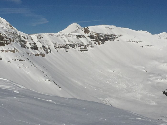
Aspect: North East, East, South East, South, South West
Elevation: 9-12,000ft
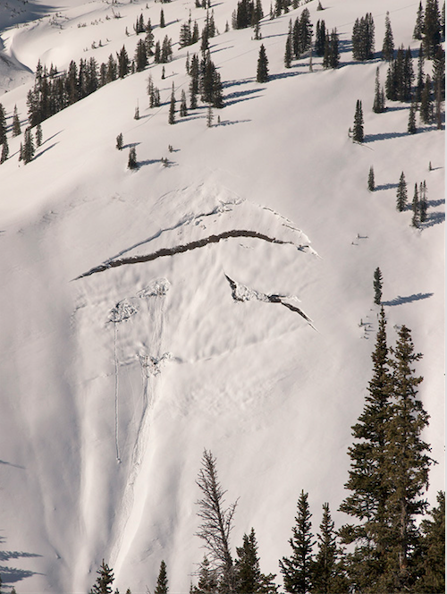
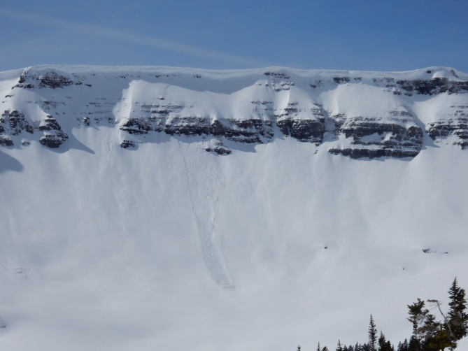
Avalanches:
Weather: Scattered high clouds, Light to Mod winds with stronger gusts at ridge top keeping things cool.
Snowpack: BTL South had a double crust facet sandwich beneath 10cms of melted surface snow as of 1000. ATL South had 40cms of 4F wind loaded snow on a MF crust (that was mostly supportive) providing Resistant Planar failure character as of 1300. ENE 38* terrain had mostly all F and 4F snow with a variable height of snow from 150cm to 80cms based on previous avalanche activity. Compression Test were showing Easy to Mod results at the ground, but lacked propagation. Thin MF crusts observed on BTL SE aspects, and as of 1600 BTL ENE terrain had full depth faceted snowpack that was moist in the top 15cms and was capped with a thin, breakable MF crust. No instabilities seen or felt throughout the day.


 P
P