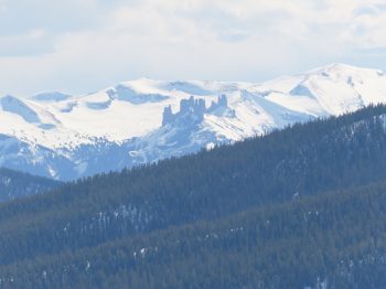
Axtell-AM

CB Avalanche Center2019-20 Observations

Location: Crested Butte Area
Date of Observation: 04/11/2020
Name: ADB
Subject: Axtell-AM
Aspect: East, South East
Elevation: ATL, BTL, NTL

Avalanches: none this morning

Weather: few clouds and light breeze maintaining cooler temperatures throughout the elevation bands and all aspects between 745-1130.

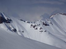
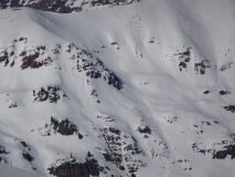
Snowpack: snow was very supportive throughout elevation bands and aspects. snow did not corn up when we dropped in to the hanging bowl between Wang Chung and bowls above Green Lake. Snow facing south of ridge line between Green Lake Drainage and the main Axtell cirque was quite soft and the only soft penetratable snow. Snow was edgable in main bowl we skied on all aspects and almost corn on SE aspects. Snow in cirque below main Axtell bowls was firm but edgable. We saw snowmobiles in both drainages and the snow mobiles didn’t create ruts or penetrate the snow surface.

Mountain Weather For 11,000FT. Saturday 4/11.

CB Avalanche CenterWeather

Date: 04/11/2020

Today will start with pleasant spring weather under clear skies. The ample sunshine will create modest high temperatures that will fall short of the high temps we experienced the past few days. Expect winds to be on the increase today. A large trough is knocking on our doorstep from the north. This system will begin impacting the area late this afternoon with clouds building before sunset. Snowfall will start in earnest right about midnight. A strong cold front will bring a period of moderate snowfall on Saturday night but will taper off to light precipitation for Sunday. Snowfall will linger through Sunday for areas to the west and north of Crested Butte that are favored for orographic snowfall under northwest flow. Total accumulations should provide a nice improvement to riding conditions with favored areas receiving up to 8 inches by the end of Sunday. Air temperatures will be unseasonably cool Sunday through about Tuesday with high temperatures at 11,000 feet just barely reaching the freezing mark.

The rest of the week looks to offer a mixed bag of conditions with northern Colorado picking up additional snowfall. The central mountains of Colorado will sit on the edge of this moisture while the southern part of the state will remain dry. No significant snowfall is expected through the workweek.

  • Today

    High Temperature: 39 to 43
    Winds/Direction: 7 to 17/W G30
    Sky Cover: Mostly Clear
    Irwin Snow: 0″
    Elkton Snow: 0″
    Friend’s Hut Snow: 0″

  • Tonight

    Low Temperature: 18 to 22
    Winds/Direction: 9 to 19/WNW
    Sky Cover: Overcast
    Irwin Snow: 5 to 7″
    Elkton Snow: 5 to 7″
    Friend’s Hut Snow: 4 to 6″

  • Tomorrow

    High Temperature: 27 to 31
    Winds/Direction: 12 to 22/WNW G40
    Sky Cover: Mostly Cloudy
    Irwin Snow: 1 to 3″
    Elkton Snow: 1 to 3″
    Friend’s Hut Snow: 1 to 3″

Cornice Fall Redwell

CB Avalanche Center2019-20 Observations

Location: Crested Butte Area
Date of Observation: 04/10/2020
Subject: Cornice Fall Redwell

Avalanches:
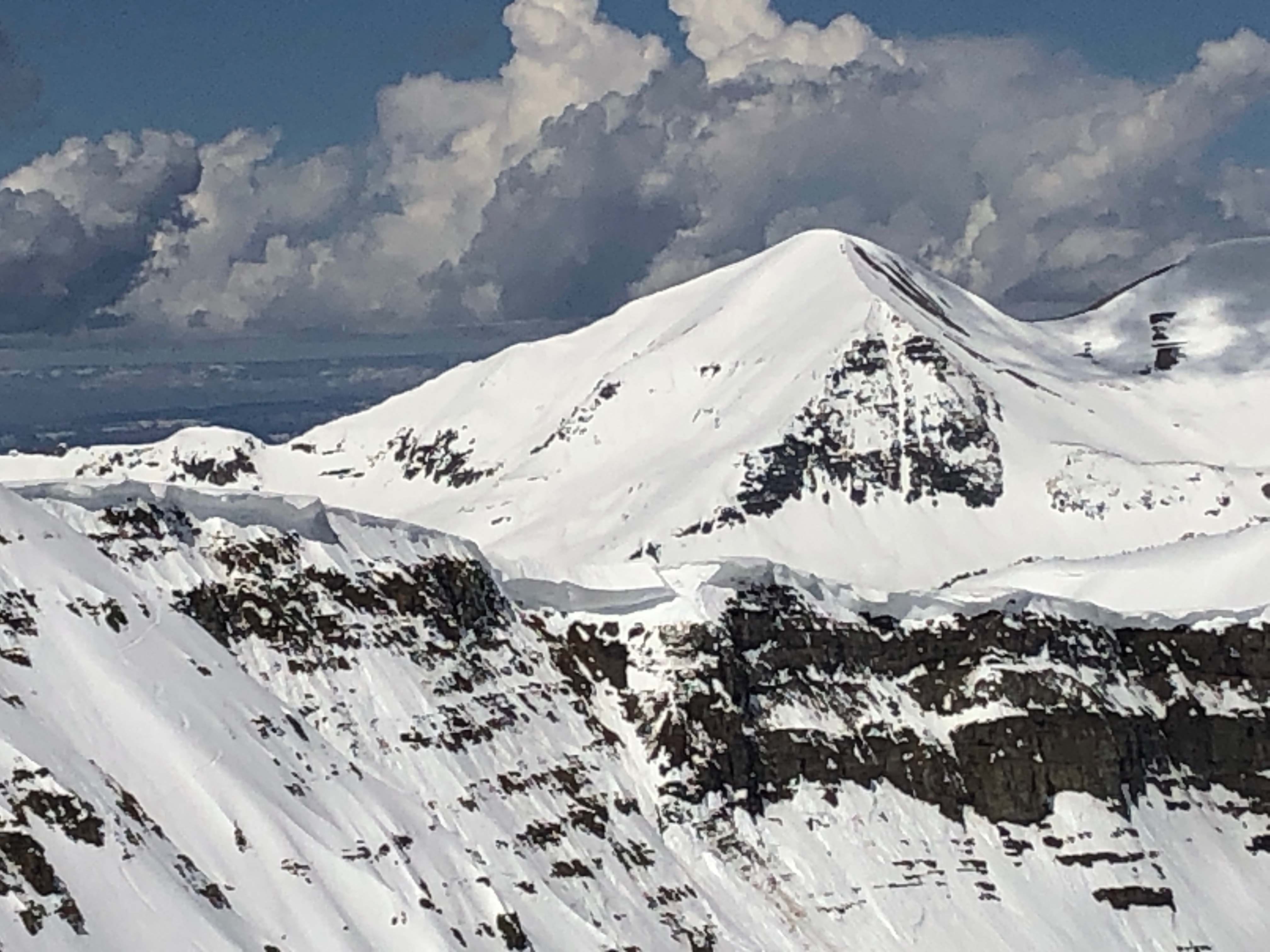
There I was, standing on a rock with my wife. We heard thunder…. I grabbed my camera phone, then looked to the sky. It was blue.
Then I looked into Redwell Basin and saw a large cornice had just fallen. P

Photos:

[/gravityforms]

Afternoon near treeline wet snow

CB Avalanche Center2019-20 Observations

Location: Paradise Divide Area
Date of Observation: 04/10/2020
Name: Eric Murrow
Subject: Afternoon near treeline wet snow
Aspect: North East, East, South East, South, South West
Elevation: 9400′ – 11600′

Avalanches: Lots of recent wet avalanche activity around the range. Rustlers Gulch area produced a number of Wet Slab’s the failed in the past couple of days on south and southwest aspects around 12,000′. A couple avalanches were D2 in size.

Weather: Partly cloudy skies in the afternoon with light winds. Felt slightly cooler than the previous day with cloud cover and light winds.

Snowpack: Targeted near treeline slopes that faced northeast, east, and southeast. Moved through terrain between 245pm and 500pm which was a bit too late for peak melt. All sites had developed thin crusts at the surface since the sun had transitioned westward.

On southeast slope at 11,500′ found HS around 150cm with water pooling at the first crust about 40cm down, ECTP 26 beneath the crust with water pooling and above a second crust just a few inches deeper. Another prominent crust was present 50cm above ground with weak, moist 4f snow at the ground. Did not find any ice lens’ lower in profile. Snowpack structure appeared to fit with observed Wet Slab avalanche activity on similar aspects in Rustlers Gulch from the past couple of days.

On an east-facing slope at 11,500′ with HS of 175cm found water pooling on a crust 50cm from the surface. ECTP 21 on the crust with pooled water. Liquid water had just barely pushed beneath this upper crust. Slab structure in the midpack is dense, pencil hard snow.

Shifted to a northeast slope with an HS of 185cm at 11,600′ and found wet snow in just the top few inches of the snowpack. The mid-march interface, 50cm down, was dry on my test wall, but a small portion of the observation wall had an ice lens, but the entire layer had not wetted. I followed ice columns from the surface down and most did not make it to that interface and stopped 10cm short. No results in stability test, ECTX.

Photos:

Teocalli

CB Avalanche Center2019-20 Observations

Location: Brush Creek Area
Date of Observation: 04/09/2020
Name: Ian Havlick
Subject: Teocalli
Aspect: East, South East, South, South West, West, North West
Elevation: 8500-13000

Avalanches: Observed a variety of wet loose and some gouging and developing wet slab activity, all looked to have run Tuesday or Wednesday during peak warming. Avalanches observed ranged from pushy D1 to D2, but all would have been ugly and dangerous if involved. The most impressive activity was on mid elevation, near treeline to above treeline, east and west-facing terrain, all initiated as wet loose and as they ran, entrained deeper weak layers, some which propagated as slabs. Shallow, rocky terrain most punchy and suspect with wet slab structure and failing easily in hand shears on old, 4-6mm moist depth hoar.

Weather: Clear skies overnight with some thin cirrus moving in mid morning. Temperatures were pretty obviously inverted with lows in the low 20s in valley bottoms, and mid to upper 20s above 11,000ft it seemed. Left the field 12:00.

Snowpack: Snowpack is hanging in there with overnight refreezes to provide safe travel until about 12, past that, ski and snowmobile travel grows more difficult in the shallower parts of forecast area, Brush Creek with tracks augering and skis punching. HS ranged 30-80cm in terrain traveled. Overnight refreeze 2-6″ deep, with still dry winter-like snow deeper in the snowpack. Areas shallower than 40-60cm are isothermal in full meltdown. Got some major collapses both on still frozen uptrack, and on descent, which must have been big to notice on south-facing descent!

Photos:

East facing wet loose propagating into wet slab on ridgeline leading to WSC Mountain viewed from Teocalli, likely ran 4/7 or 4/8
Wet avalanches west facing into the Twin Lakes drainage.
[/gravityforms]

Red Lady; Wet Slabs and Snowmobiles

CB Avalanche Center2019-20 Observations

Location: Kebler Pass Area
Date of Observation: 04/10/2020
Subject: Red Lady; Wet Slabs and Snowmobiles
Aspect: South East, South
Elevation: 12,000

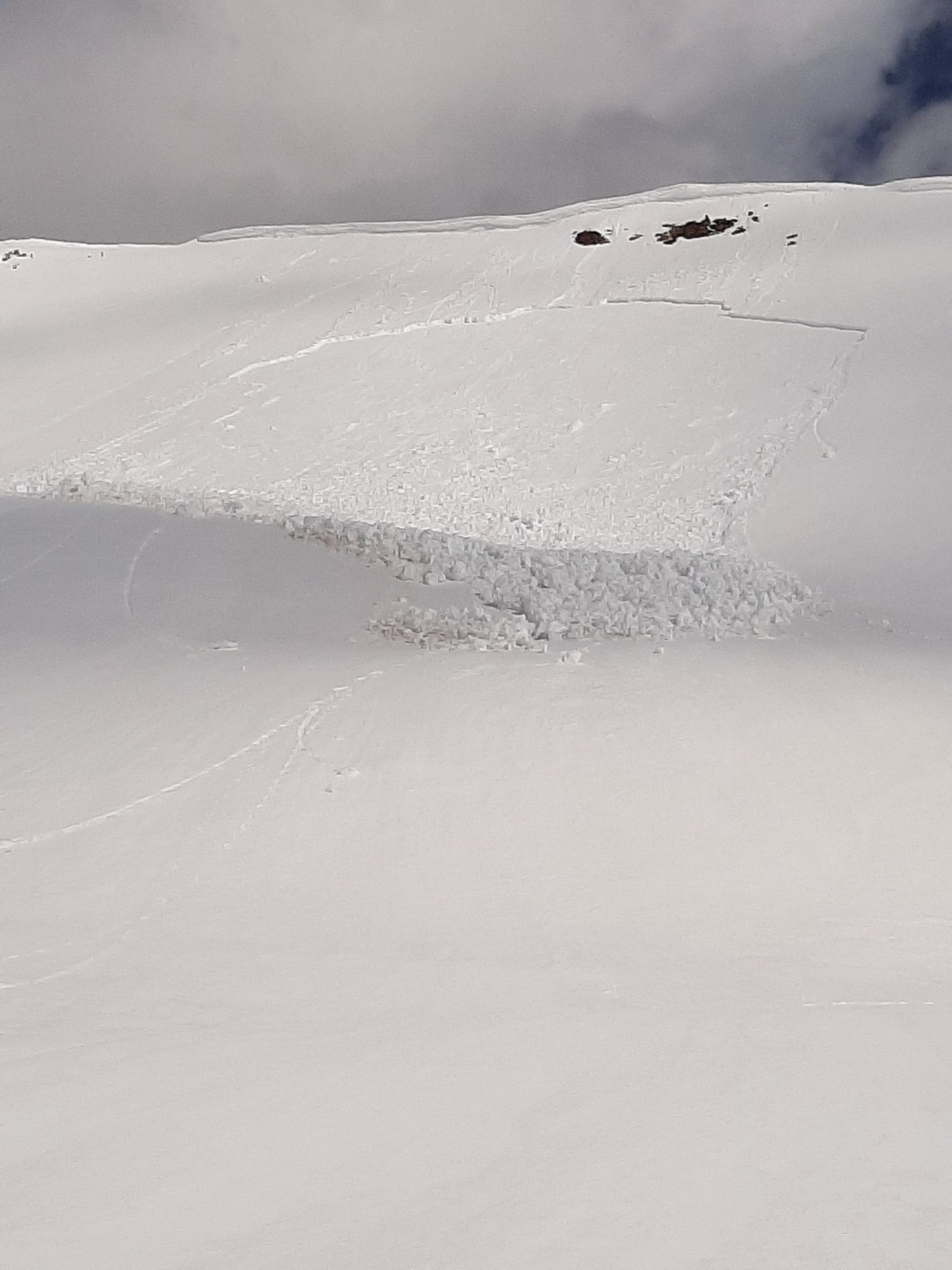
Avalanches: D1 wet slab at the saddle between Coon and Wolverine. Looks like it failed late in the day yesterday. A few small pieces of the cornice triggered a loose wet that stepped down. Maybe warming around the rock band had water running along bed surface. Crown is 25-30 cm.

Weather: Intermittant clouds and sun with little to no wind. Temperature in the 30s, but felt like 50. T-shirt and no gloves at 9:30.

Snowpack: Solid overnight freeze despite mild temps. Surface warming quickly; especially the dirtier portions of the snow surface.

Photos:

Mountain Weather For 11,000FT. Friday 4/10.

CB Avalanche CenterWeather

Date: 04/10/2020

The low-pressure system approaching from the west continues to stumble its way well to the south of Colorado. Yesterday evening and last night, a weak chunk of moisture was pushed towards central Colorado which produced a few isolated showers and increased cloud cover. Overnight night temperatures dipped below freezing for most locations, but overall Thursday night was fairly warm with a few weather stations remaining at or above freezing. Expect cloud cover to quickly diminish this morning through the early afternoon before clouds build again in the PM offering the chance for isolated convective showers later in the day. Temperatures on Friday will reach near the highs of Thursday.

Saturday will start with clear skies before a sagging trough and cold front from the north reaches the Crested Butte area in the early afternoon. Snowfall will develop Saturday afternoon and linger through Sunday. Accumulations do not look impressive, but snowfall totals may provide a slight refresh to riding conditions. Air temperatures for Sunday through Tuesday will remain below average as the area sits under a northwest flow after trough passage.

  • Today

    High Temperature: 43 to 47
    Winds/Direction: 3 to 13/WSW
    Sky Cover: Partly Cloudy
    Irwin Snow: 0″
    Elkton Snow: 0″
    Friend’s Hut Snow: 0″

  • Tonight

    Low Temperature: 23 to 27
    Winds/Direction: 3 to 13/W
    Sky Cover: Mostly Clear
    Irwin Snow: 0″
    Elkton Snow: 0″
    Friend’s Hut Snow: 0″

  • Tomorrow

    High Temperature: 40 to 44
    Winds/Direction: 7 to 17/W
    Sky Cover: Partly Cloudy
    Irwin Snow: 0 to 1″ in PM
    Elkton Snow: 0 to 1″ in PM
    Friend’s Hut Snow: 0 to 1″ in PM

Hot in Gothic

CB Avalanche Center2019-20 Observations

Location: Crested Butte Area
Date of Observation: 04/09/2020
Name: Eric Murrow
Subject: Hot in Gothic
Aspect: North, North East, East, South East, South, South West, West, North West

Avalanches: By 11am the east side of Gothic Mountain came alive and produced frequent loose wet avalanches from steep, rocky east-facing terrain near and below treeline. There was loose activity every few minutes for several hours. Most were D1 in volume but one D2 was able to accumulate mass on a below treeline slope that had yet to produce much loose activity this spring and pushed debris down a gully into an impressive pile at valley bottom, ran at 1pm. (see photo).

Weather: Very warm with clear skies until 3pm when clouds and virga started to push into the area. Winds were absent at valley bottoms.

Snowpack: Spent the day near valley bottom at 9500′. Crust were 4 or 5 inches thick in the moring and by 1pm they had broken down enough that boot penetration was basically to ground or as long as your legs would allow.

Around 315pm crossed several northeast and east-facing slopes, 9500′, and found that some slopes were unsportive to skis at times with minor collapsing of the barely intact crusts. More northerly slopes had intact slab structure where as east was just a broken down crust sitting on wet snow.

Photos:

The freeze is not deep!

CB Avalanche Center2019-20 Observations

Location: Brush Creek Area
Date of Observation: 04/09/2020
Name: Steve Banks
Subject: The freeze is not deep!
Aspect: South East, South
Elevation: 9,000-12,000

Avalanches:Some older wet and dry slabs. Only recent looking activity came out of steep, rocky West facing, tho all we could see was the toe of a large debris pile.

Weather: Sunny, warm, barely a lick of wind.

Snowpack: 4-6” thick freeze was supportive all morning. Snow below was sometimes large grained and wet, sometimes large grained and dry. Lower elevation are pretty trap-door pretty quick with the sun and warm temps. Several collapses noted as it began to thaw.