Date of Observation: 04/01/2021
Name: Zach Guy
Zone: Southeast Mountains
Location: Gothic
Aspect: East, South East
Elevation: 9500 – 12,600′
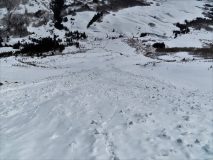
Avalanches: A D2 cornice fall off of the east face of Baldy, looked a few days old.
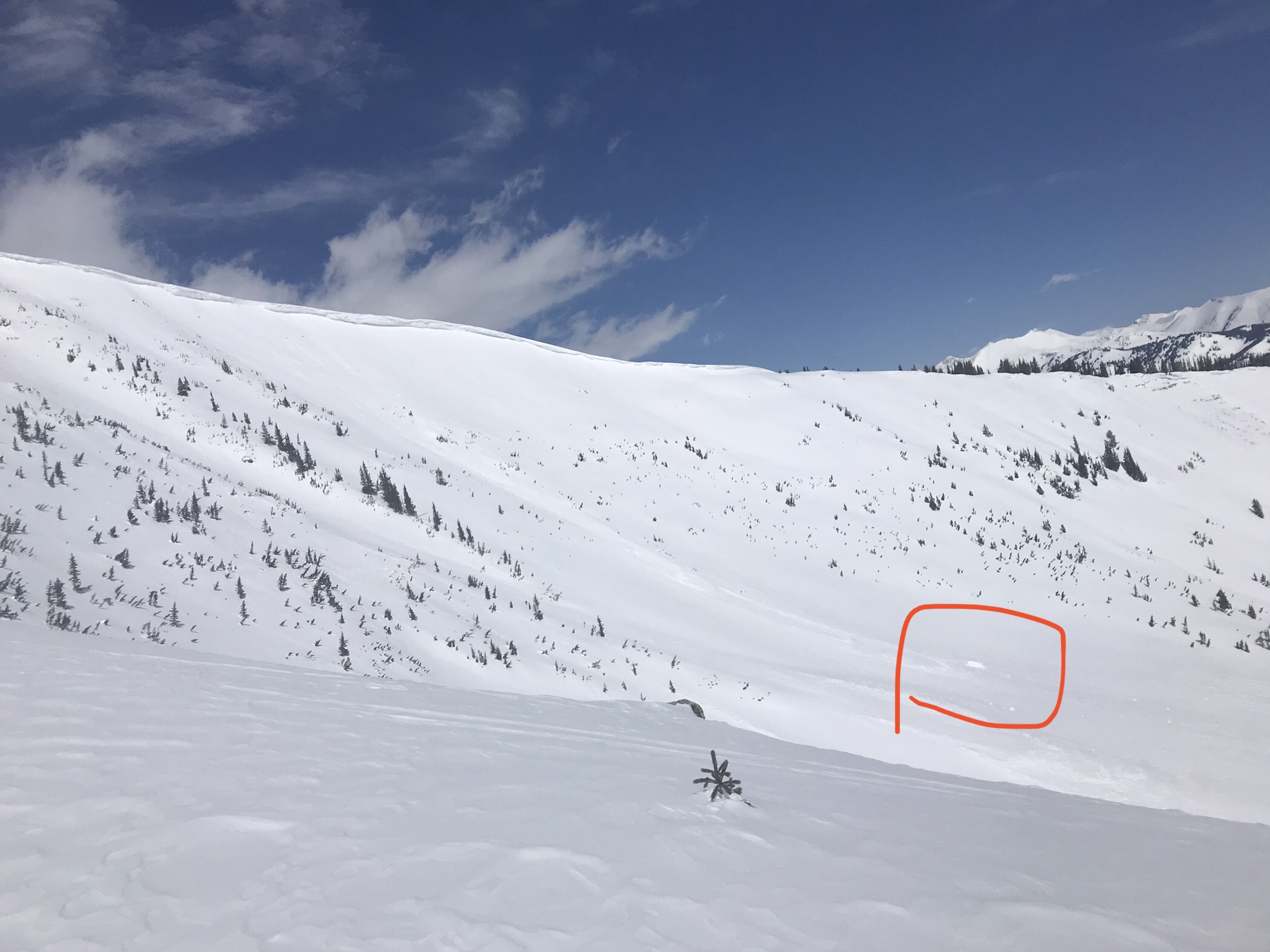
Some D2 wet loose debris below the east face of Gothic, likely from last weekend’s warmup.
We ski triggered some very small/shallow sluffs in the top few inches of snow.
Weather: Light ridgetop winds. Cold temps this morning, rapid warming through midday. Clear skies.
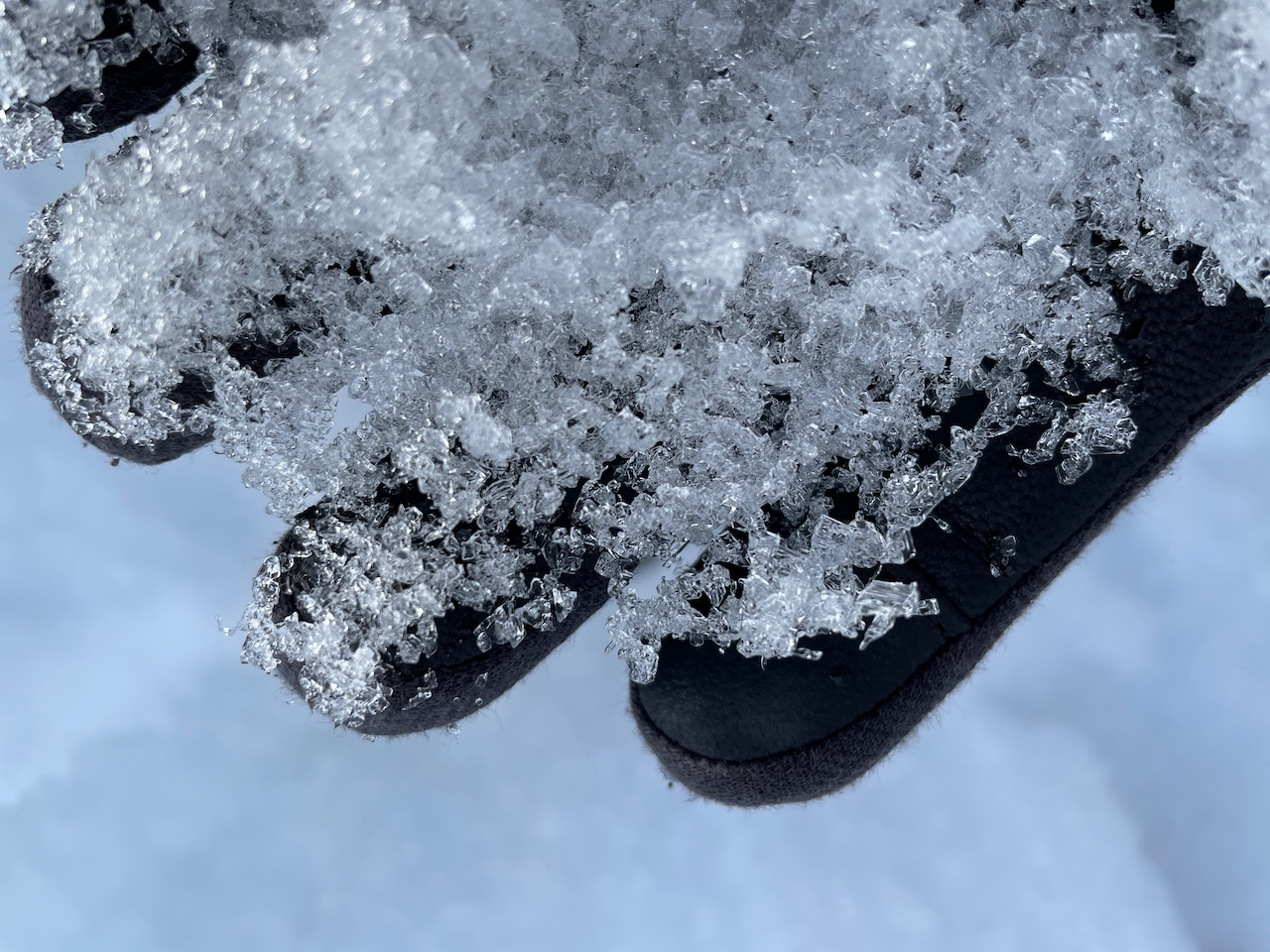
Snowpack: Made ya look. April Fools. Some small rollerballs and sluffing as the top few inches of recent snow became moist. Crusts below that snow (on E, SE aspects) remained frozen before noon. More snow for entrainment on northeasterly tilts where there aren’t underlying crusts.
The biggest problem that we were managing was large cornices. We stayed well away from them on ridgelines. On slopes overhung by cornices, we moved quickly with spotters/radios, regrouped away from their runouts, and traveled early in the day to reduce our risk.
Quick hand pits suggest that last week’s warmup only caused meltwater to move into the top 3 to 4 inches of snow on high elevation, southeast aspects, unless water channeled deeper near rocks or other preferential drainage networks.
Photos:
-
- D2 wet loose debris from last week’s cycle

-
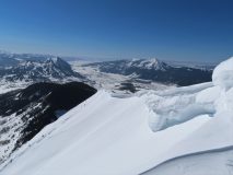
- Big ol cornices looking scarier now with upcoming warm weather

-
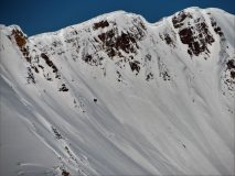
- A D2 cornice fall on Baldy that looks to have pulled out a bit of slab. Looks a few days old.