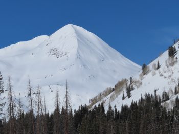
Location: Crested Butte Area
Date of Observation: 02/18/2020
Subject: Remote trigger from above, second bowl Snodgrass
Aspect: North East, East
Elevation: 10800
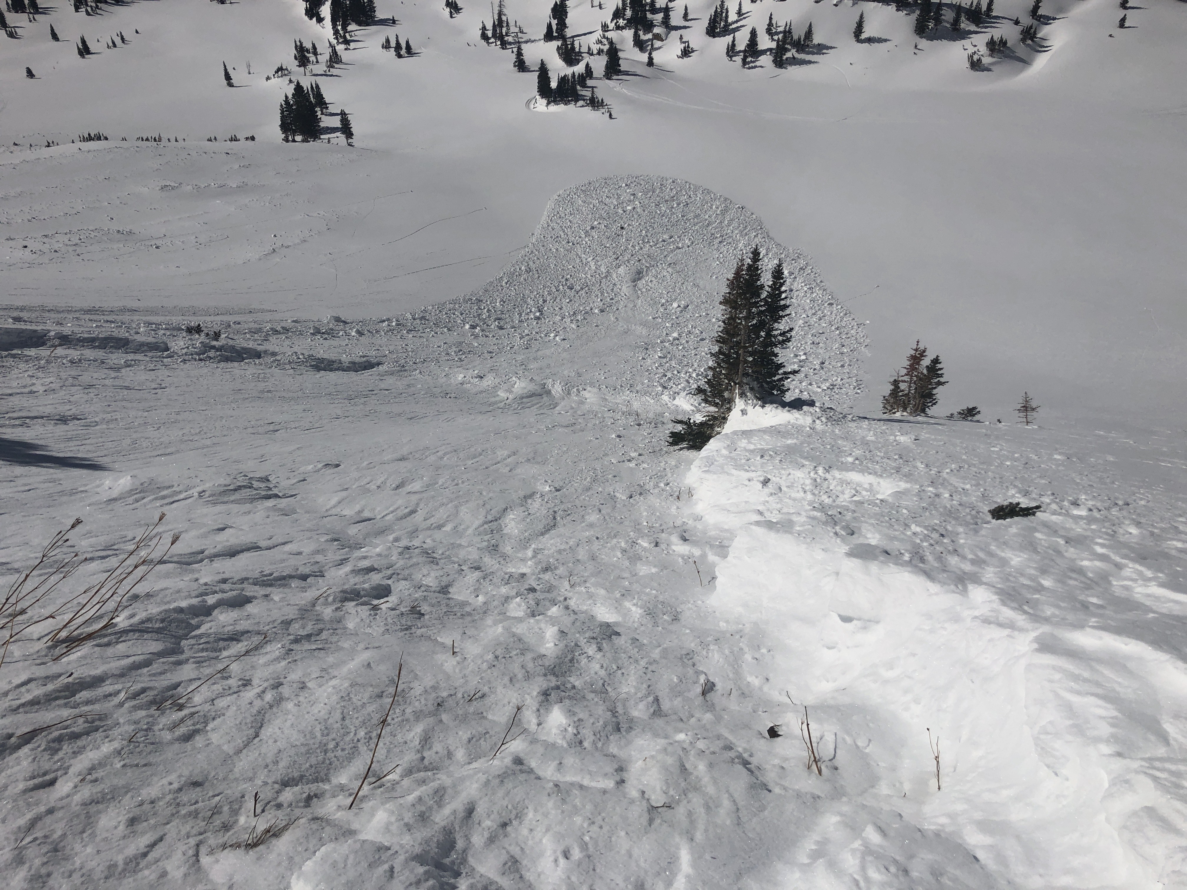
Avalanches: Remote trigger from above of second bowl, as I step out of skin track, 30-35 ft away from crown, heard a whomp, and skin closer to edge to take look.. and saw the avalanche release, fortunately had no intentions on skiing that slope.
Second bowl snodgrass, from top of steep nose.
Aspect ENE (60º), slope estimate 40-45ª, elev. 10800, around 1:30pm, Soft Slab (SS) (35-45cm crown 4F over, F bed surface possible weaker layer on interface), avalanche release (AS), uninetecional (U), size D1.5-D2, bed surface (I), weak layer, facets or surface hoar, slab thickness (decomposed snow and or wind packed particles) 35-45 cm, slab width estimated 150ft, vertical fall estimated 300 ft, length of path run, 550-600ft., avalanche started at rollover on clear slope from trees near the ridge.
Weather: Clear, wind calm.
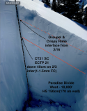
Snowpack: Just did very fast hardness test, Slab 4F bed surface F, with a weaker interface layer.
-

-

-

-

-
ENE, below treeline, large human triggered avalanche. 2/18