Nerve-racking snowpack on Coney’s

CB Avalanche Center2015-16 Observations

Location: Crested Butte Area
Date of Observation: 12/23/2015
Name: Zach Guy
Subject: Nerve-racking snowpack on Coney’s
Aspect: North East, East
Elevation: 9,500-10,900 ft

Avalanches: Observed roughly a dozen natural avalanches in the Coney’s vicinity, all breaking about 3 feet deep on basal facets, D1.5 to D2 in size on slopes steeper than 35 degrees, NE and E facing aspects N/BTL. Debris running into dense trees where the typical uptrack is. Part of Coney’s bowl flushed, quite a bit remains in the balance.
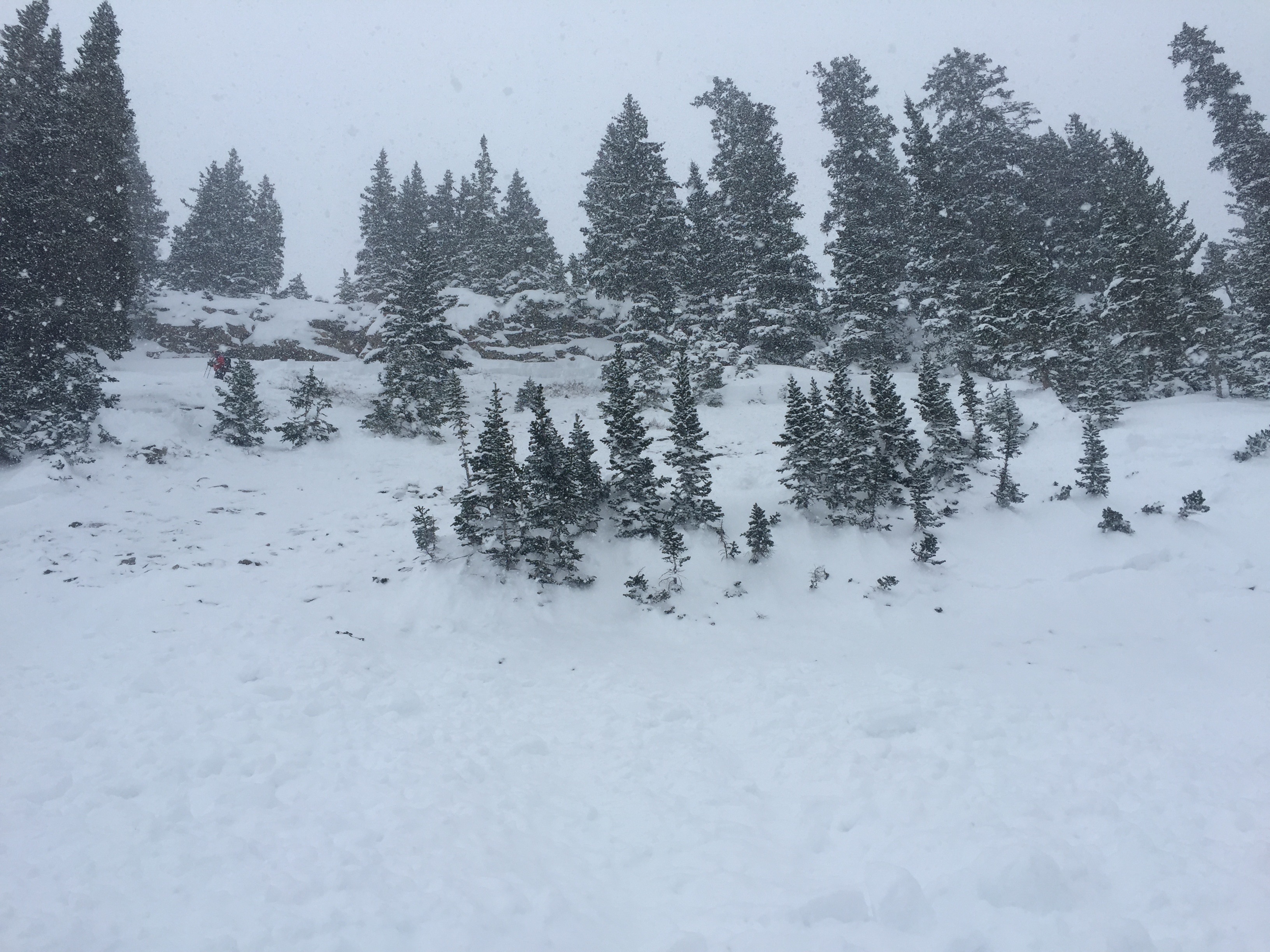
Weather: Scattered clouds this morning built to overcast this afternoon with light snowfall. 1″ of accumulation by 4:00 p.m. Light winds and cold temps.
Snowpack: Constant and huge collapses, rattling trees and shooting up slope long distances (~100 ft or more), even in dense trees. Shooting cracks spanning entire slopes. SCARY snowpack. About 3 feet of slab (4F up to F) over the problematic facet layer (F). Slabs became denser and thicker near ridgeline due to previous wind affect. Roughly 20″ of recent storm snow; upside-down in open slopes due to last night’s winds, with up to 8″ of denser, wind affected snow over lower density storm snow. It felt like there was zero margin for error in terrain selection today.

Avalanche activity near Gothic

CB Avalanche Center2015-16 Observations

Location: Crested Butte Area
Date of Observation: 12/23/2015
Name: billy barr
Subject: Avalanche activity near Gothic


Avalanches: Most of the saddle between Gothic and Snodgrass has run, though nothing has made it to the run-out zone. Fractures 1-2 feet deep and widespread. Only one of the large slide paths above the road ran and that just in the starting zone area so most all that snow is still up there. Most of the peak area on Gothic and the bowl beyond it ran but again did not carry far- not a lot of density in this new snow. But most starting zones around Gothic have cleared out- sadly though not the big paths above the road to town.
Weather: The earlier snow totals hold (19″ new and 0.96″ water in past 24 hours) and actually it has started to clear up. Light to moderate wind is moving a little snow- enough to make the ski to the office like doing isometrics the whole way as it partially filled in the deep, old track. Slow. The only change is that the snow settled another ½” to 49½” on the ground now. Low temp. dipped to 12ºF and it is about 50% cloud cover.
Snowpack:

Snodgrass Study Plot

CB Avalanche Center2015-16 Observations, Snow Profiles

Location: Crested Butte Area
Date of Observation: 12/23/2015
Name: Jimmy Buchanan
Subject: Snodgrass Study Plot
Aspect: North East
Elevation: 9,800′

Avalanches: None.
Weather: See profile. Scattered clouds, calm wind, no precipitation.
Snowpack: See profile. Cracks and whumphing observed on very low angle terrain during skin to study plot. Slab from recent new snow was very reactive on the old, preserved layer of depth hoar.

IMG_2718
12/23 Snodgrass Study Plot

12/23 Snodgrass Study Plot

Gothic obs 7am

CB Avalanche Center2015-16 Observations

Location: Kebler Pass Area
Date of Observation: 12/22/2015
Name: billy barr
Subject: Gothic obs 7am
Aspect:
Elevation: 9500

Avalanches:
Weather: Whatever happened to moderation? When i did the weekly summary (gothicwx.org) Saturaday night there was just one winter in the past 42 with less snow to date and just 2 with less snowpack on that date. Now, it took 25 minutes to ski the 0.4 miles to work (i blame that on the new snow, not my ‘advancing’ years). –So, steady snow all night with obscured cloud cover and no wind (thankfully) at all. There is 19″ new snow with 0.78″ of water (all but 2″ of snow overnight). Snowpack at 44″, now winter’s deepest. Snow continues steady, still with no wind (did i say ‘thankfully’ yet?) and temp. between 18 and 19 F all night. billy
Snowpack:

Mountain Weather

CB Avalanche CenterWeather

Date: 12/23/2015

Well, the weather forecast actually verified and we weren’t skunked again! The first major winter storm will get one final push of moisture that will increase snow coverage around mid day for a quick 2-4″, but higher terrain could still see continuing light to moderate orographic snowfall into the afternoon, and through the next several days. Winds will be gusty today but should slowly taper at all elevations tonight. Look for clear skies during the day on Thursday, before another storm takes aim on Colorado Christmas Eve night. Santa will need Rudolph’s nose this year!

Snodgrass Road

CB Avalanche Center2015-16 Observations

Location: Crested Butte Area
Date of Observation: 12/22/2015
Name: Evan Ross
Subject: Snodgrass Road
Aspect: North East
Elevation: 10,600-9,300

Avalanches: Shooting cracks and collapsing on just about every slope traveled. Road cuts would crack but not move do to the depth of slab relative to the short size of slope. One slope collapsed and propagated a couple hundred feet away and released a 50ft wide 4ft deep avalanche. D1 given the size of the slope.
Weather: Overcast, no wind, snowing hard all day. Mostly S2.
Snowpack: Snowpit on NE at 10,500ft. HS140, 12/18 SH at 56cm, 12/14 facets at 45cm. Generally fist hard snowpack with very little 4f in the middle. Ski pen was waist to belly deep breaking trail and boot pen would have been to the ground if i had 140cm long legs.

Irwin Tenure

CB Avalanche Center2015-16 Observations

Location: Kebler Pass Area
Date of Observation: 12/22/2015
Name: Irwin Guides
Subject: Irwin Tenure
Aspect: South West, West
Elevation: 10,200-11,500

Avalanches: (3) D1-D2 slides triggered this afternoon.
SS-ASu-R2-D1-O
SS-AE-R3-D2-O
SS-AE-R2-D1.5-O

all on novemeber basal facets. slab 1F in places, F-Hardness on upper half
Weather: Nearly a foot overnight of 7%. Light to moderate west winds with a few stronger
gusts. Temps stayed in low to mid 20s. Clouds continued to obscure surrounding
backcountry. Moderate snow all day, heavy at times, especially after 1300 snow
intensified and wind stopped.
Snowpack: West: Generally soft and un-cohesive new snow just slightly slabbed up with good
cracking in the top 20cm’s on handshots in the morning. After lunch, snow
intensified and a route in Sunset on UWW produced three slides, one on each of the steeper features, all in previously lightly or un-travelled terrain “backcountry-like”
snowpack. Not many large collapses, or cracking, just isolated explosive results (2
avalanches, and one ski cut triggered slide that propagated 50ft above cut.

IMG_2766
IMG_2773
IMG_2772
IMG_2770

Mountain Weather

CB Avalanche CenterWeather

Date: 12/22/2015

Overnight and through today we have all the ingredients of a major winter storm (the first of a series this week) coming together. The “left exit region” of a 160 knot jet stream will punch the Elk Mountains square in the nose, bringing significant upper level support to a cold, ultra saturated atmosphere hovering near seasonal extremes for moisture content. Add in 13,000 foot mountains for added lift and we have the makings of a doozy. Snow could be fairly dense, and the winds will average 10-20 mph but gust into the 50 mph range closer to timberline. Look for snow to taper tonight into tomorrow, only to intensify Wednesday afternoon through Christmas Day.

Anthracites (different ob)

CB Avalanche Center2015-16 Observations

Location: Kebler Pass Area
Date of Observation: 12/21/2015
Name: MR
Subject: Anthracites
Aspect: North, North East
Elevation: 10,000-11,200

Avalanches: East bowl above happy ending, R1.5D1.5, no crown visible, only observed from the AMR parking lot. Appeared to be a wind/storm slab that released just below ridge and ran in the new snow, stopping on the bench above the last pitch. Didn’t appear to step down or propagate further. See pic.

Also a couple loose snow sluffs had released naturally and ran a short distance in tree and big chute.
Weather: Calm, intermittently broken skies to s2-3 snowfall. Most of the day felt warm, maybe 25F
Snowpack: Around 14 inches of storm snow from the last 36 hours of activity. Some drifting and wind lips but no other signs of slab formation in the new snow, besides east bowl avalanche noted below. No cracking or whumpfing. A couple loose snow sluffs had released naturally and ran a very short distance.

P1000510anthracite-slide

Anthracite

CB Avalanche Center2015-16 Observations

Location: Kebler Pass Area
Date of Observation: 12/21/2015
Name: EM
Subject: Anthracite
Aspect: North, North East, East, South East, South
Elevation: 10,000 – 11,500

Avalanches: There appeared to be two or three small slides in east bowl. These slides appeared to start as loose sloughs that were able to produce a small amount of lateral propagation. All were r1d1. While snowmobiling back to Y noticed significant natural slide on lookers left side of Ruby. Maybe r3d2.
Weather: Light snow with moderate showers before noon. Very light winds with weak gusting. Some blue sky between noon and 2.
Snowpack: One site that was north facing at 10,900 had a depth of 140 cm. This location was mostly 4F density with fist storm snow above. CT 12,13 60 cm below surface. It appeared this failure occurred on buried SH from 12/11. This area also produced hard results on the lowest facet layer. CT 23,24 77 cm from surface. Tests generally showed Q2 shears. Slope angle at site was 32*
A south facing location at 11,000 showed a depth of 148 cm. The site receives sun during the bulk of the day but is shaded for part of day with trees. Profile showed a complex layering of facets and crusts for bottom 73 cm, 4 different facet crust combos. Above facet crust combos was 75 cm of new snow that has fallen since last Monday. Tests in this location showed no result for new snow old crust interface but showed moderate results CT 17,18 failing just above the lowest crust. Slope angle at site was 29*.

Didn’t experience any collapsing while skinning or skiing.