


Location: Crested Butte Area
Date of Observation: 12/25/2015
Name: billy barr
Date of Observation: 12/25/2015
Name: billy barr
Subject: Gothic 7 a.m. report
Aspect:
Elevation:
Aspect:
Elevation:
Avalanches:
Weather: 5:30 a.m: Snow started back up at sunset after a cold (high of 11F) Thursday. Steady all night with 7½” by 5:30 and water of 0.47″. Snowpack had dropped from 53 to 42″ but now back up to 47″. No wind yesterday and last night. billy
7:00 a.m.: Currently obscured with no wind and steady, moderate snow. Morning low was 6F and currently 11F. For the past 24 hours (including the ½” late yesterday() snow totals are 9″ new with 0.59″ water and snowpack at 47½”. –OK. I get it. It is winter now. You can let up for a while, thank you. billy
Snowpack:


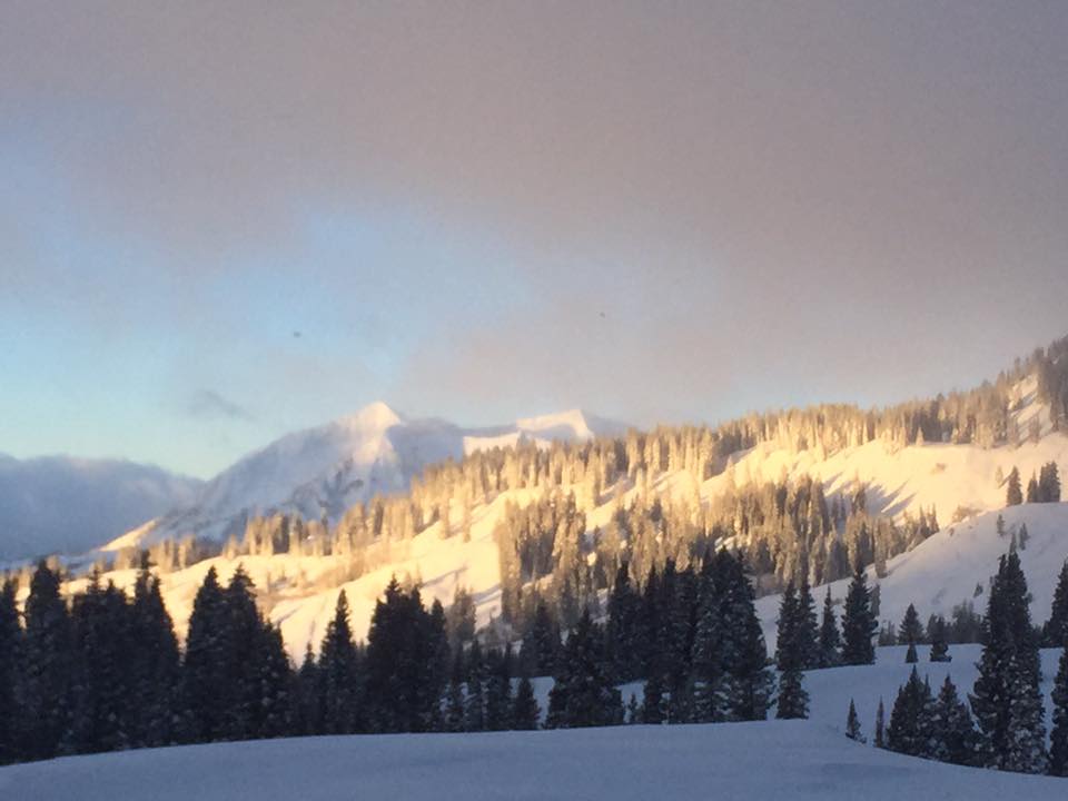 Slope in sun in foreground slid, as did East Beckwith in background
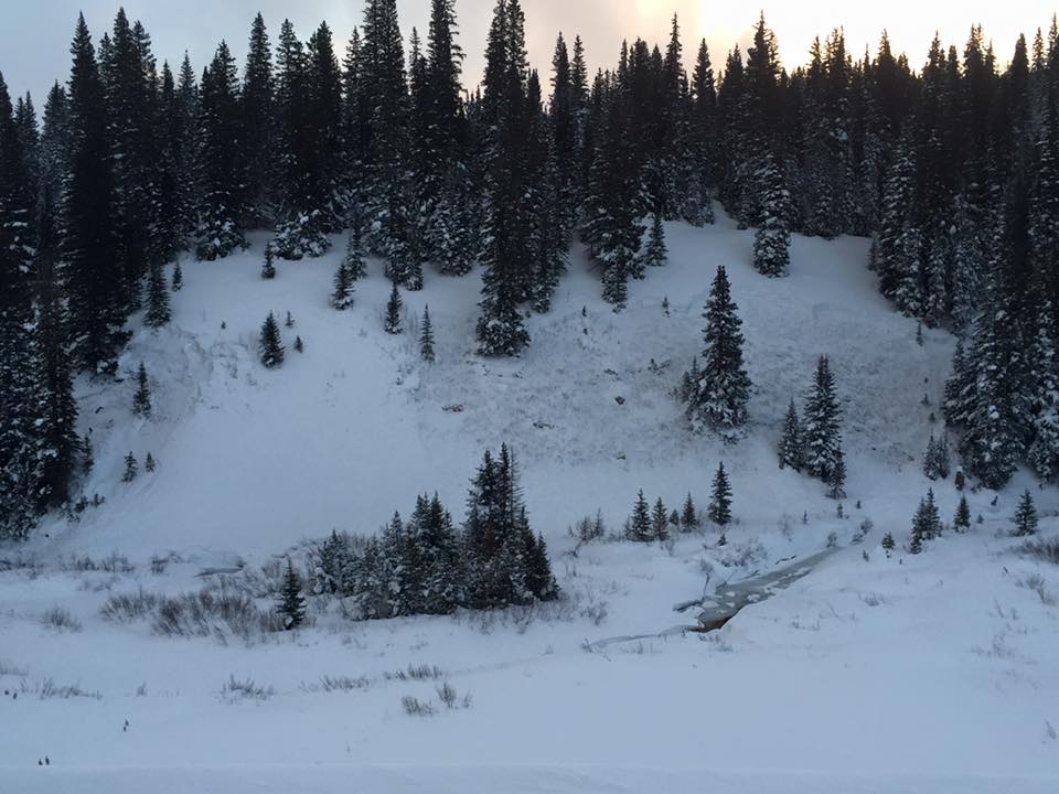 Off kebler pass road


