Mountain Weather for 11,000ft

CB Avalanche CenterWeather

Date: 03/20/2019

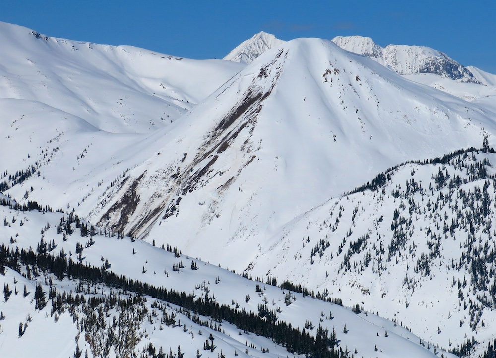
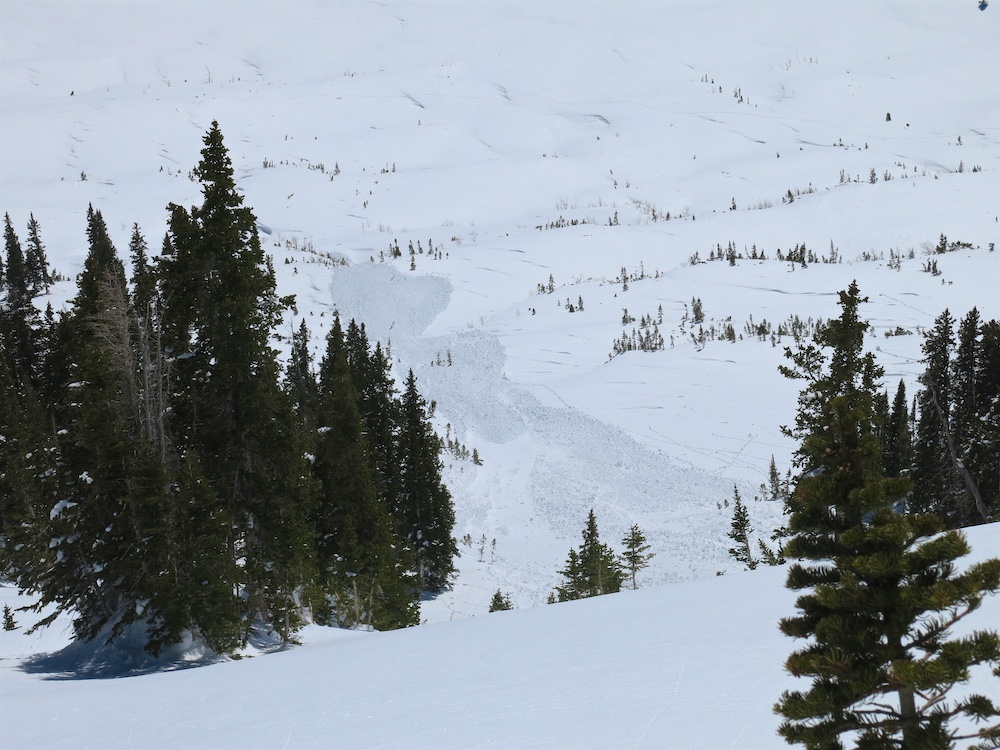
For today, expect seasonally warm temperatures with ample amounts of sunshine during the first half of the day. The low-pressure system on the west coast is starting to push cloud cover towards the Four Corners area already this morning, and by this afternoon expect clouds to begin building around the Crested Butte area. The first snowflakes from the incoming low-pressure system could arrive as early as Thursday afternoon, but the accumulating snowfall is not forecasted to hit until Thursday night and continuing into Friday morning. Temperatures look to be on the warm side with a strong southerly flow so there could be a little bit of rain for the valley bottoms Thursday evening. Light snowfall should keep falling through Friday and Friday night, but accumulations will be modest at best. This system doesn’t appear to be a heavy hitter but should provide a decent little refresh.

  • Today

    High Temperature: 31 to 36
    Winds/Direction: 1 to 11, E
    Sky Cover: Mostly Clear
    Irwin Snow: 0″
    Elkton Snow: 0″
    Friend’s Hut Snow: 0″

  • Tonight

    Low Temperature: 17 to 22
    Winds/Direction: 4 to 14, SE
    Sky Cover: Partly Cloudy
    Irwin Snow: 0″
    Elkton Snow: 0″
    Friend’s Hut Snow: 0″

  • Tomorrow

    High Temperature: 31 to 36
    Winds/Direction: 10 to 20, S
    Sky Cover: Mostly Cloudy
    Irwin Snow: 0 to 3″
    Elkton Snow: 0 to 3″
    Friend’s Hut Snow: 0 to 3″

Mountain Weather for 11,000ft

CB Avalanche CenterWeather

Date: 03/19/2019

Last night the area picked up a skiff to an inch of new snow. The weak short-wave that brought yesterdays cloud cover and the dusting of snowfall last night continues eastward. For today, there could be a few lingering snow showers during the day much like what we experienced yesterday afternoon, but expect cloud cover to be on the decrease by this evening. Cloud cover may linger a bit longer over the highest terrain especially east of Crested Butte toward the continental divide. Temperatures will be just a bit cooler than they were the past few days, but nothing dramatic. Looking ahead, the low-pressure system in the Pacific will start to head inland late today with the moisture starting to hit the CB area on Thursday evening. After the reasonable weather today and Wednesday, it appears as though we are in store for another prolonged stormy period through the beginning of April…wahooo!

  • Today

    High Temperature: 26 to 31
    Winds/Direction: 4 to 14, W
    Sky Cover: Partly Cloudy
    Irwin Snow: 0 to trace
    Elkton Snow: 0 to trace
    Friend’s Hut Snow: 0 to trace

  • Tonight

    Low Temperature: 15 to 20
    Winds/Direction: 1 to 11, N
    Sky Cover: Mostly Clear
    Irwin Snow: 0
    Elkton Snow: 0
    Friend’s Hut Snow: 0

  • Tomorrow

    High Temperature: 31 to 36
    Winds/Direction: 1 to 11, S
    Sky Cover: Mostly Clear
    Irwin Snow: 0
    Elkton Snow: 0
    Friend’s Hut Snow: 0

Shallow east side below treeline

CB Avalanche Center2018-19 Observations

Location: Brush Creek Area
Date of Observation: 03/18/2019
Name: Eric Murrow

Subject: Shallow east side below treeline
Aspect: North East, East, South East, South, South West, West
Elevation: 9,000′ to 11,000′

Avalanches:  A couple of wet loose D1’s and a D2 on the south side of Teo – looked to have run 3/16 or 3/17.
Got a good look at a very large slide that failed around 3/7ish on the south side of Teo that mowed down a good grip of Aspens. The meadows below Teo have taken a beating between the January ’17 and March ’19 avalanche cycles!

Weather: Clear skies to start the morning with building clouds by noon and mostly cloudy skies by 230. Temperatures were warm and with solar in AM were able to soften E-S slopes below treeline. As clouds moved in midday, the winds also picked up a bit BTL to low 10’s.

Snowpack: Moved through shallow below treeline terrain in Brush Creek and dug a few test profiles near existing crowns that failed around 3/7. HS on E-S-W aspects ranged from 150 to 175. Each hole I poked in the area had 30 to 45cm of moist rounding DH at the ground. Each site also had Pencil hard snow in the middle third of the snowpack-really dense slab. No surprise with ECTX at each site.

The avalanches on E and NE in the area looked to have failed on the basal weak layer. Inspected one old slide to confirm and referenced the visual depths of other crowns. The avalanches on SW and W looked to have failed at two depths- near the 2/28 interface or in the basal weak layer. Locations with HS below roughly 170cm have just over a meter slab resting on very weak basal snow. I would expect to find this structure throughout lower Brush and Cement Creeks and other locations down valley from CB.

Photos:

RMBL Study Plot

CB Avalanche Center2018-19 Observations

Location: Crested Butte Area
Date of Observation: 03/18/2019
Name: Alex Tiberio

Subject: RMBL Study Plot
Aspect:
Elevation: 9500

Avalanches:

Weather:

Snowpack:
Photos:

Mountain Weather for 11,000ft

CB Avalanche CenterWeather

Date: 03/18/2019

The small disturbance to the north of the area is slightly delayed from yesterday’s forecast; it looks to clip the area tonight and into Tuesday. Today you can expect similar temperatures to yesterday, but expect the cloud cover to increase throughout the day. There is a chance of some light snow overnight from the weak short-wave but accumulations will be a few flakes to a skiff. On Tuesday night a more substantial trough will make its way into California and bring unsettled weather during the second half of the work week. This system looks to cut-off as it hits the California coast which will leave some uncertainty about its trajectory as it moves eastward towards Colorado.

  • Today

    High Temperature: 32 to 37
    Winds/Direction: 4 to 14, WSW
    Sky Cover: Partly Cloudy
    Irwin Snow: 0″
    Elkton Snow: 0″
    Friend’s Hut Snow: 0″

  • Tonight

    Low Temperature: 12 to 17
    Winds/Direction: 3 to 13, WNW
    Sky Cover: Mostly Cloudy
    Irwin Snow: 0 to 1″
    Elkton Snow: 0 to 1″
    Friend’s Hut Snow: 0 to 1″

  • Tomorrow

    High Temperature: 30 to 35
    Winds/Direction: 5 to 15, WNW
    Sky Cover: Mostly Cloudy
    Irwin Snow: 0″
    Elkton Snow: 0″
    Friend’s Hut Snow: 0″

S and SW below treeline and other tidbits

CB Avalanche Center2018-19 Observations

Location: Crested Butte Area
Date of Observation: 03/17/2019
Name: Eric Murrow

Subject: S and SW below treeline and other tidbits
Aspect: South, South West
Elevation: 8900′ – 10,800′

Avalanches:

Got a view of a cornice failure off of Scarps ridge the triggered a D1.5/D2 sized slab.

Weather: Beautiful day with clear skies, warm temps, and light winds.

Snowpack: Traveled through S and SW terrain below treeline. Early in the morning surface crust were supportive to skis. As the day warmed up surface crust broke down by about 1pm on SE aspect at 10,500′. HS on this protected slope was 190cm. Top 12cm or so became wet with the buried 3/12 crust started to soften as well. Perc tubes were present between the 3/12 and 3/6 crust. The 3/6 crust was down just 45cm. Snow below 3/6 was moist halfway down to 2/28 crust.

Descended a SW slope, very near a couple of D3 slides that failed around 3/7, and found that this slide likely failed in faceted snow below the 2/28 crust. HS through the start zones looked relatively shallow from wind this season and bed surfaces were very shallow will lots of grass and rock sticking out. We were able to trigger very small wet loose slides, and pinwheels by about 3pm on these slopes. By about 10,000′, the snowpack on SW was wet at the surface with a moist, soft crust below and moist snow all the way down to the lowest crust with very weak faceted snow at the ground. HS was generally around 130ish cm through this terrain.

Got views of snowmo highmarks in an alpine bowl with S through SE aspects. Half of this bowl failed around 3/6 or 3/7 in a very large D3 avalanche. The highmarks hit the drifted in bed surface and the intact portion of the bowl without results.

Photos:

Richmond, Handcock, And Some Loose Wets

CB Avalanche Center2018-19 Observations

Location: Paradise Divide Area
Date of Observation: 03/17/2019
Name: Evan Ross

Subject: Richmond, Handcock, And Some Loose Wets 
Elevation: 9,500-12,400

Avalanches:

The natural Loose Wet avalanche cycle is mostly confined to SE-SW. While E and W aspects are starting to produce more natural Loose Wet avalanches and have become a concern for skier triggering. These loose wet avalanches may be powerful given the type, but are easy to manage or know when to avoid. Mostly D1.5’s with a few D2’s. With Continued heating NE slopes may become more of a concern. Saw most of the Loose Wet avalanche activity at near and above treeline elevations.

Weather: Clear, beautiful and sunburnt with calm winds.

Snowpack: The quiet snowpack continues. Managing thin snowpack spots, overhead cornice hazard and loose wet avalanches. The upper snowpack is showing runnels on southerly slopes as water starts to drain through the upper snowpack. These were seen up to 12,000ft. Water had wetted the 3/11 curst down 45cms on the one southerly slope checked at 11,000ft

Photos:

Mountain Weather for 11,000ft

CB Avalanche CenterWeather

Date: 03/17/2019

A ridge of high pressure has set up shop over the southwestern United States and has brought beautiful weather to the Crested Butte area. Expect today to be a few degrees warmer than yesterday with continued light winds. Skies will be blue and clear today with maybe just a few high-level clouds. A weak disturbance to the north will brush by the state tomorrow but will do little more than bring partly cloudy skies. The next real snow producer will not arrive until the end of the work week. The ridge looks to be forced out of the area on Wednesday or so, and snowfall possibly returning on Thursday. We will keep on eye on this system as it develops and gets closer.

  • Today

    High Temperature: 34 to 39
    Winds/Direction: 2 to 12, WNW
    Sky Cover: Clear
    Irwin Snow: 0″
    Elkton Snow: 0″
    Friend’s Hut Snow: 0″

  • Tonight

    Low Temperature: 8 to 13
    Winds/Direction: 2 to 12, SW
    Sky Cover: Partly Cloudy
    Irwin Snow: 0″
    Elkton Snow: 0″
    Friend’s Hut Snow: 0″

  • Tomorrow

    High Temperature: 33 to 38
    Winds/Direction: 5 to 15, W
    Sky Cover: Partly Cloudy
    Irwin Snow: 0″
    Elkton Snow: 0″
    Friend’s Hut Snow: 0″

West Side

CB Avalanche Center2018-19 Observations

Location: Kebler Pass Area
Date of Observation: 03/16/2019
Name: Eric Murrow

Subject: West Side
Aspect:
Elevation: 8,900′ – 11,000′

Avalanches:

Numerous D1 loose went avalanches from the previous day on sunny near and above treeline slopes. Evidence of very large, but old avalanches from over a week ago – crowns well drifted in. There were a few more recent avalanches from the middle of last week during the last snowfall and wind event around 3/13- D2.5/D3 failing in old snow on the west side of Mt. Owen ATL, D2.5 on easterly piece of terrain on East Beckwith failing in old snow NTL, and a D1.5 on north facing ATL slope on East Beckwith that failed only in last weeks storm snow and was triggered by a dry slough.

Second hand report of skier triggered slide on SE aspect.  ~2 to 3 foot crown likely drifted slope from north winds middle of last week, probably failing on 3/12 interface during warm part of the day.

Weather: Clear skies with light winds. Strong solar and mild temps softening snow surfaces by noon.

Snowpack: Took a trip to the far west side of the forecast area. Down at Horse Ranch Park area, HS averaged around 180cm @ 8,900′. Ascending to Beckwith Pass area found HS around 280cm at 10,500′. Dug a couple quick holes looking for any concerning structure on shaded slopes in the upper snowpack but not notable test results or layers of concern. Like much of the range, weak layers are down near the bottom of the snowpack-you could feel density change by using probe.

Snow surfaces began to soften by noon or a bit earlier. Watched a few very small loose wet snow release from steep rocky east facing features. Digging into wetted surfaces on sunny slopes showed soft F density snow beneath the surface crust.

Photos:

Small Loose Wet Avalanches

CB Avalanche Center2018-19 Observations

Location: Paradise Divide Area
Date of Observation: 03/16/2019
Name: Evan Ross

Subject: Small Loose Wet Avalanches
Aspect:
Elevation: 9,200-11,700

Avalanches:

Small Loose Wet Avalanches mainly near and above treeline on SE to SW. Up to D1.5 in size.

Many other old crowns all over the place.

Weather: Clear, calm, and strong solar. Lips got burnt but not so bad I couldn’t hit some spicy food.

Snowpack: Nothing significant or new
Photos: