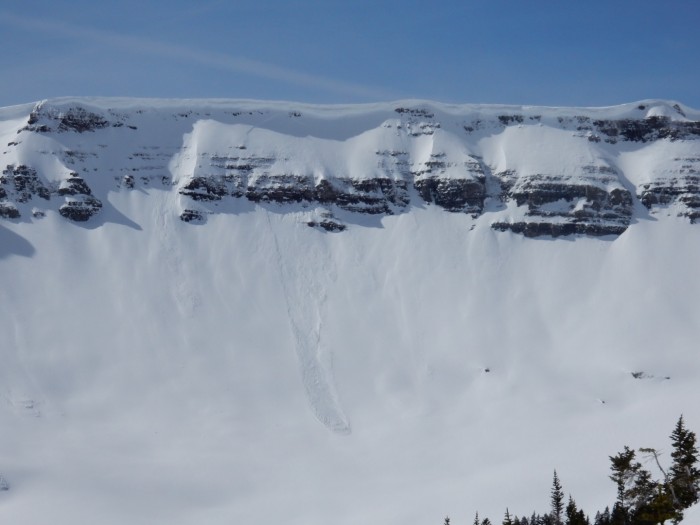
Location: Crested Butte Area
Date of Observation: 02/16/2016
Name: Alex Banas
Date of Observation: 02/16/2016
Name: Alex Banas
Subject: Red Coon Glades
Aspect: South East, South, South West
Elevation: 9,000-11,500
Aspect: South East, South, South West
Elevation: 9,000-11,500
Avalanches:
Weather: Few clouds, calm swirling winds near the top of RCG. Warm temps strong solar.
Snowpack: New snow has settled into a fast moving inch of warm snow. Stout 4-5cm MFcr provided mostly supportable skiing until 10,600′ from there on out the skiing was moist throughout the MFcr at 1300 hrs. No signs of instabilities throughout the tour. Moist grains 10cm below the MFcr @ 10,600′ dry below the crust @ 11,400′.