Location: Paradise Divide Area
Date of Observation: 11/25/2018
Name: Eric Murrow
Subject: Avalanche Activity from Gobbler storm
Aspect: North, North East, East, South East, South
Elevation: 9400′ to 12000′
Avalanches:
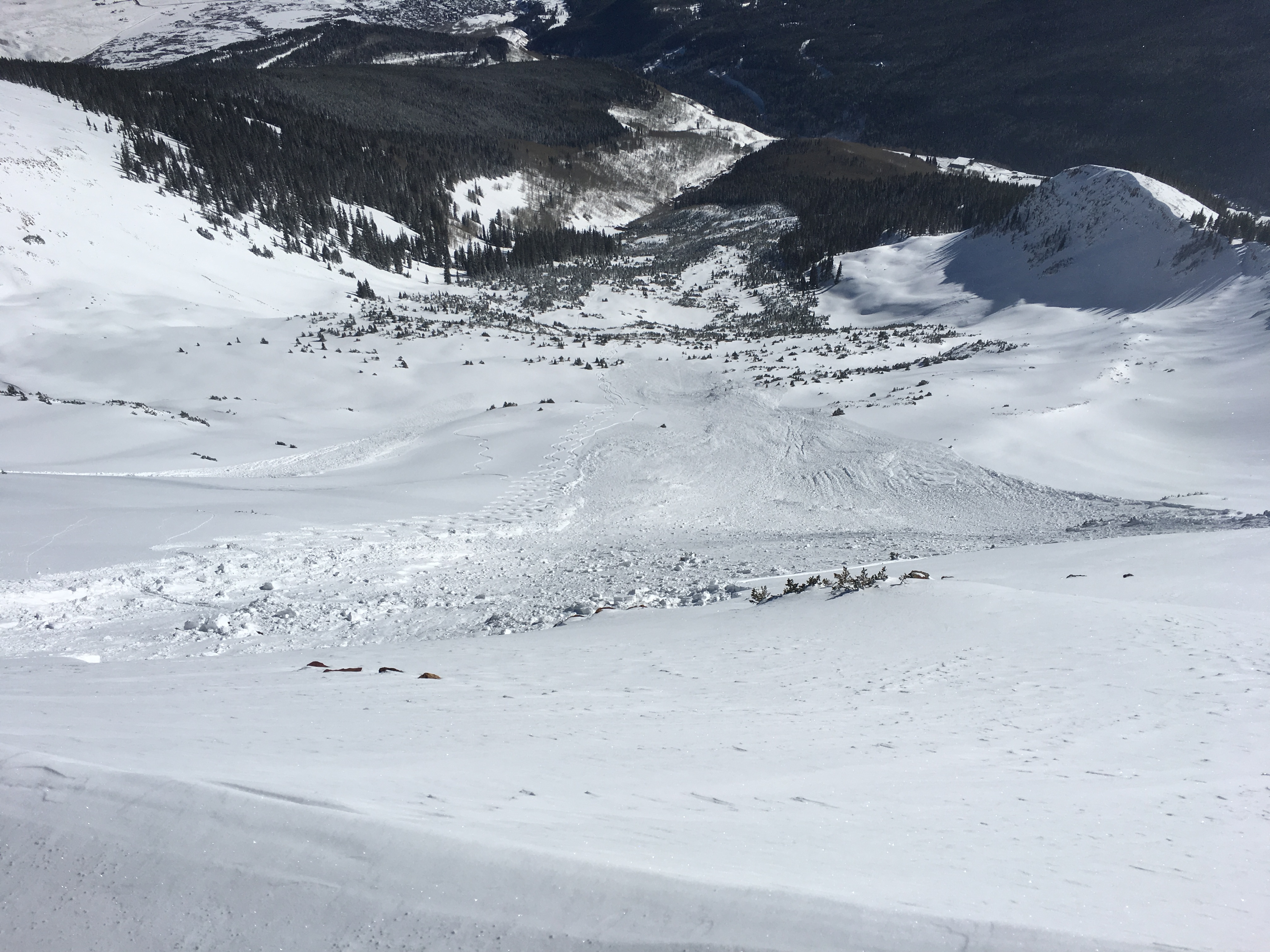
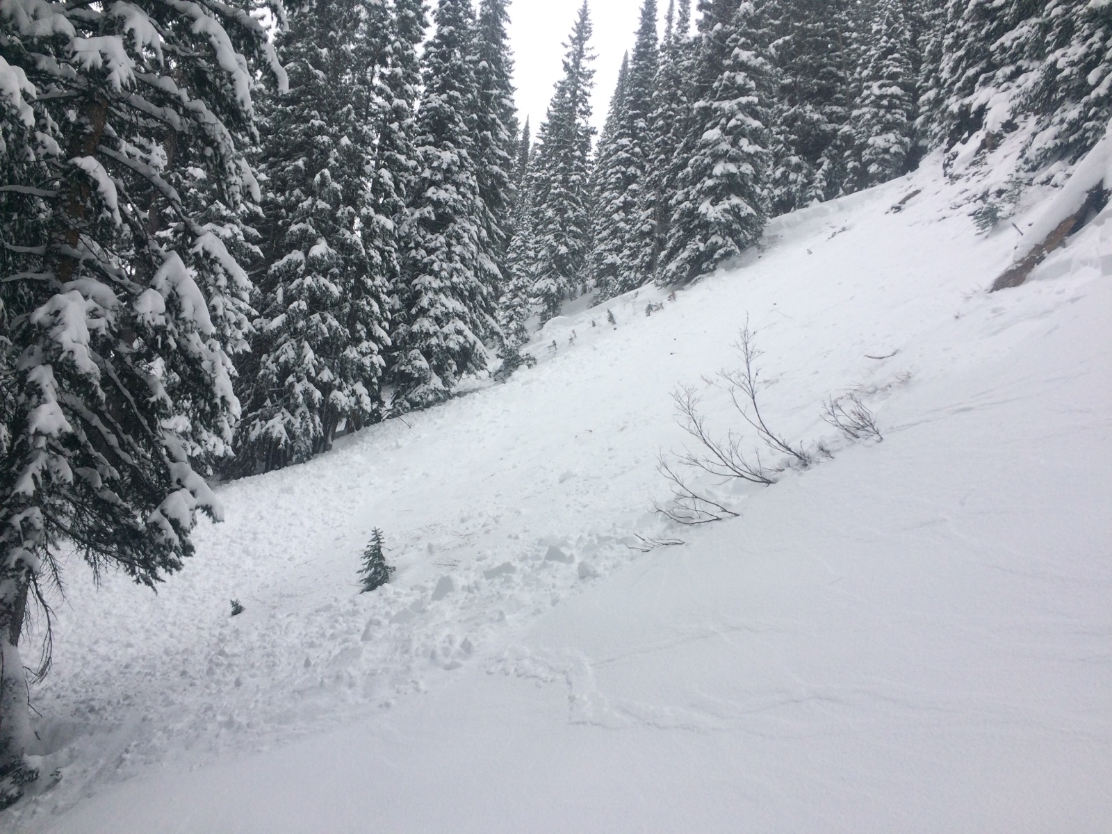
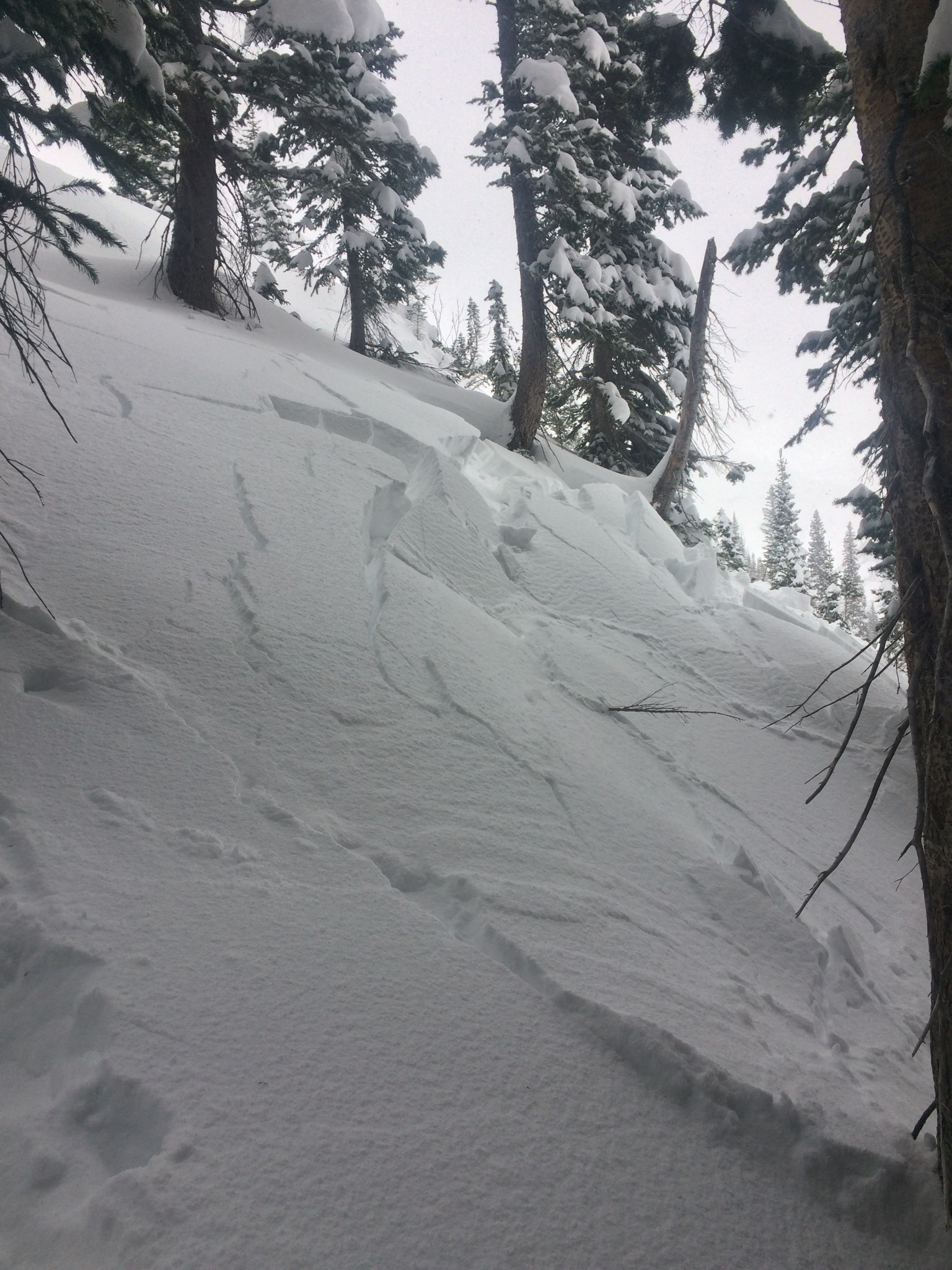
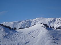
oh man, there are remains of nearly countless slides looking down the Ruby Range. Avalanches were focused on N, NE, and E with a few others on SE. Lots of avalanches at all elevation bands. Slides ranged from very small D1’s, tons of D2’s and one D2.5 off of Purple Ridge on a NE aspect. Take a look at photos below for a sampling. Based on refilling of crowns and bed surfaces, avalanches failed throughout the storm. Some crowns very near each other had failed hours apart, one would look fresh with no refill, and other places partially refilled, and others were basically fully refilled but were discernable because of debris shaped piles in aprons. These photos are a small representation of whats out there.
Weather: Cold and clear, blowing snow off highest peaks early morning, but light winds BTL and NTL during tour from 1030 to 400
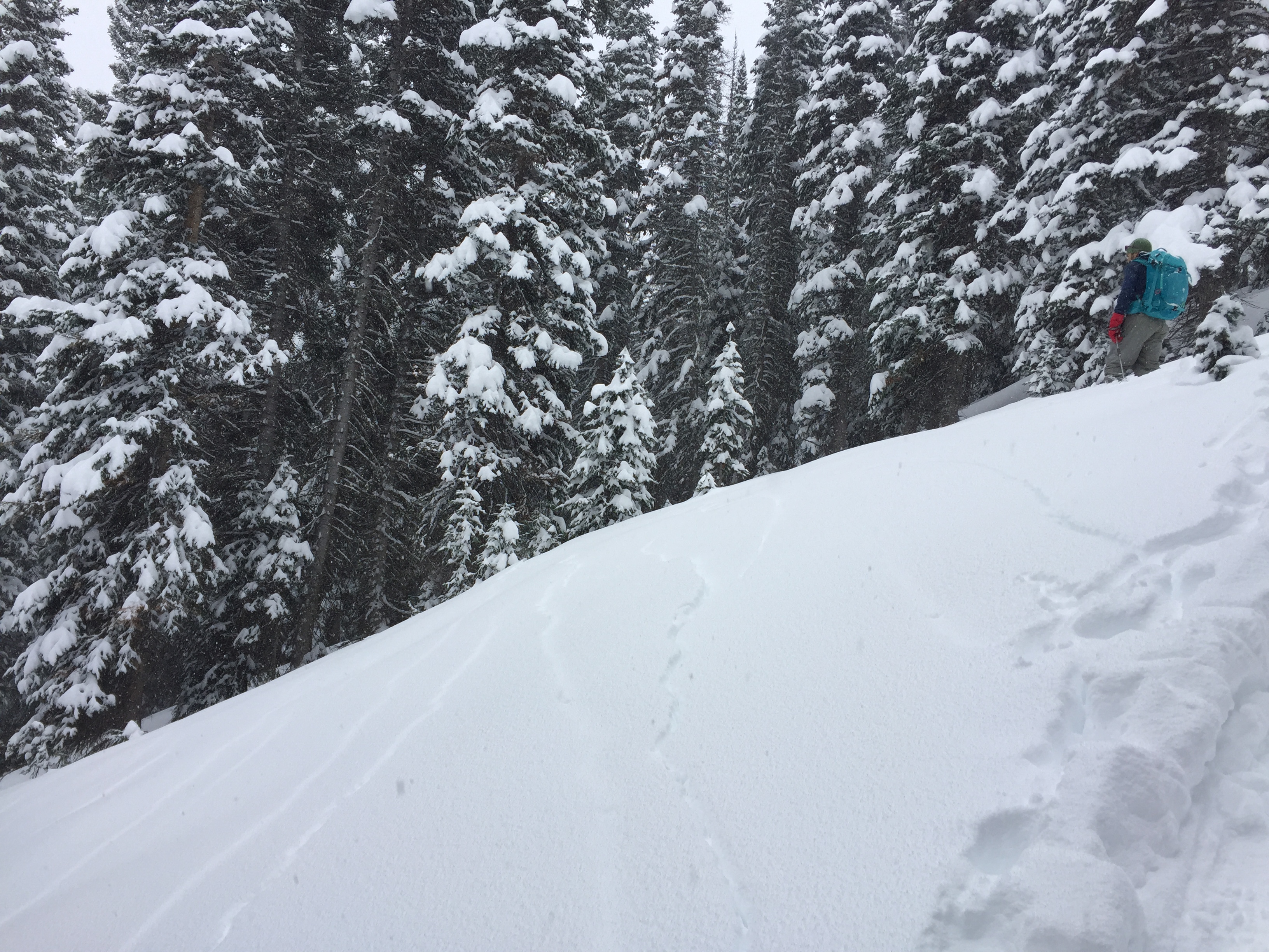
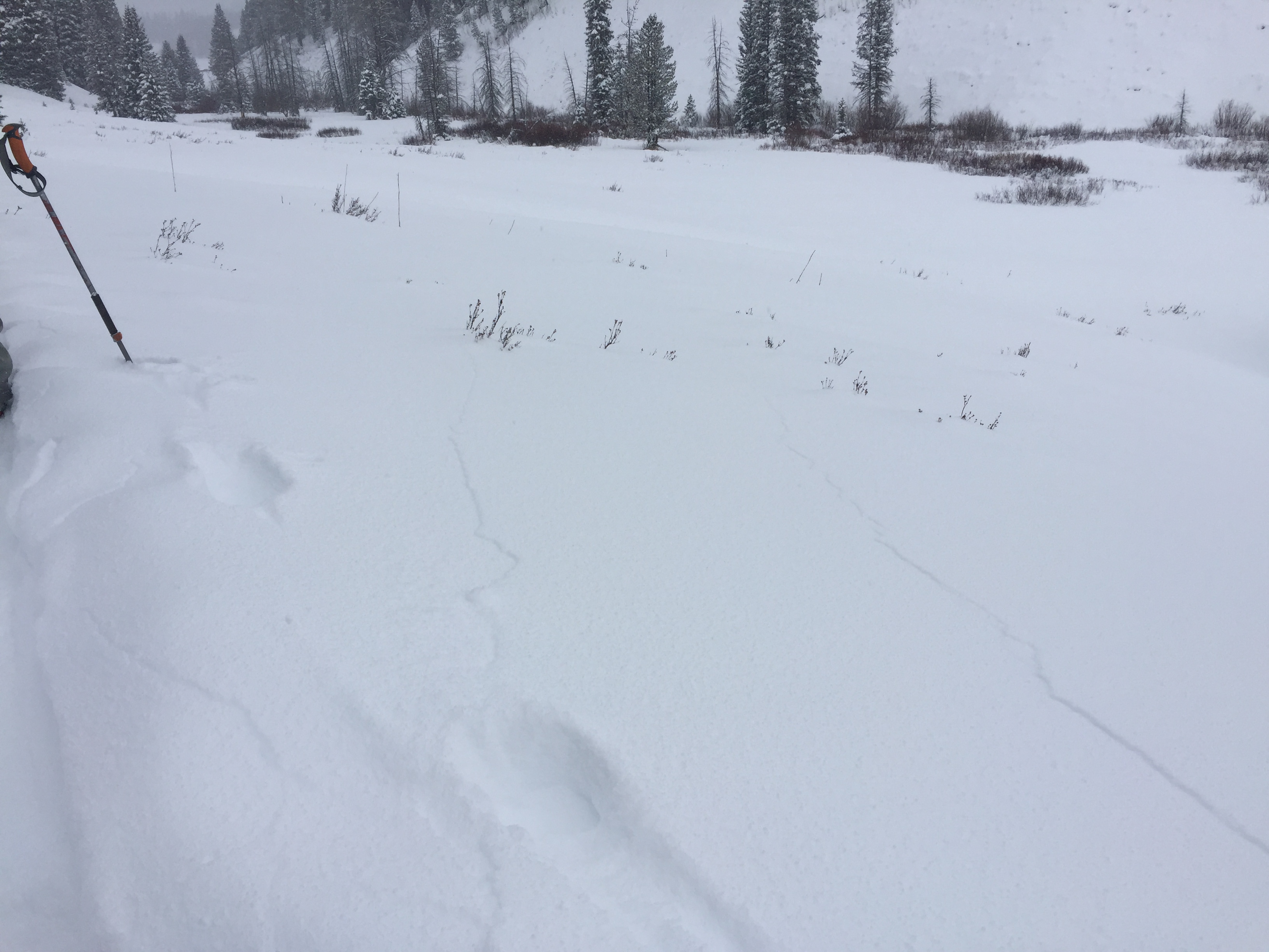
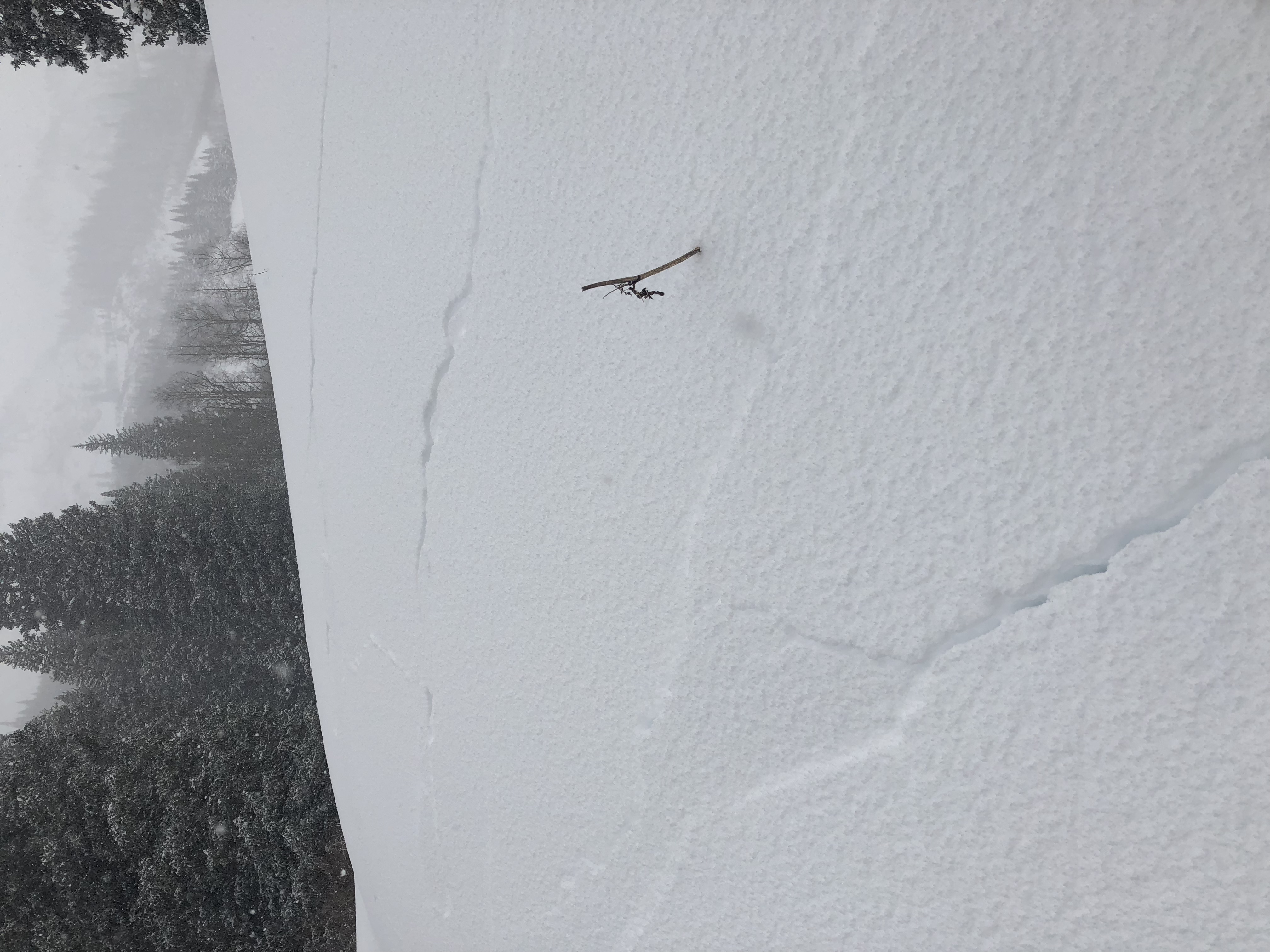
Snowpack: Toured around S, SE, and E aspects NTL on Baldy Mountain. Snow has settled significantly w/ ski pen about 6″, supportive. While walking through lower angle sections facing South and East, our group experience several collapses that spread up to 100’+.
Poked a few holes, on E and SE aspects near tree line. SE NTL had developed 50 to 60cm slab from last storm and was strong 4finger close to 1finger hardness, on SE slab was resting on thin layer of 1 to 2mm facets. E aspect NTL presented similar thickness and hardness slab resting on weak old snow – 90cm HS.
Photos:
-
-
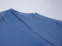
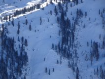
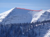
D2.5 off Purple Ridge, NNE. Debris appeared to run all the way in to “death valley” that leads up to Yule Pass
-
-
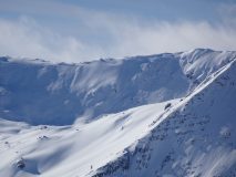
D1 and D2’s in Purple Palace, NE
-
-
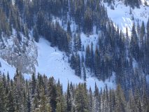
D2’s,Ridge south of Augusta, notice different refill rates, East aspect
-
-
D2 on NW aspect of Elkton Knob
-
-
D1’s on Coneys
-
-
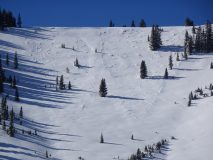
D2, lower angle E aspect, lower purple ridge
-
-
Healthy D2 on Peeler??, NE aspect