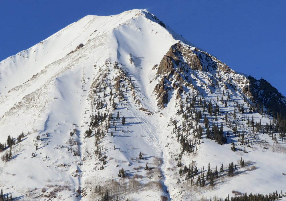
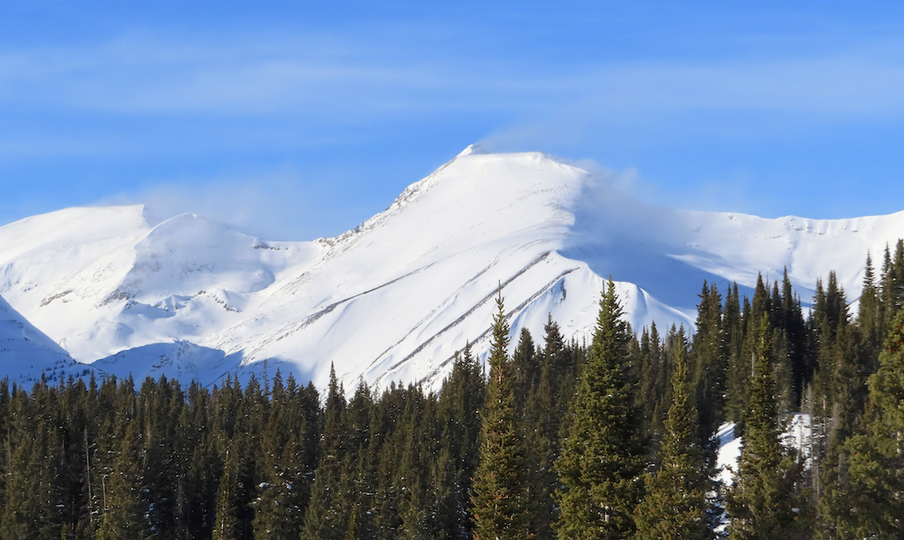
Location: Kebler Pass Area
Date of Observation: 01/05/2020
Name: Elias Goutos
Subject: Anthracizzles
Aspect: North, North East, South, North West
Elevation: 10,000 – 11,500
Avalanches: None observed, but rollerballing on S facing slope under cliffbands.
Weather: Few clouds in the morning with calm winds, increasing to broken cloud cover by noon and 27 degrees at 11,500′. Around 15:00, sky cleared again and winds picked up light to moderate with snow blowing off ridge tops.
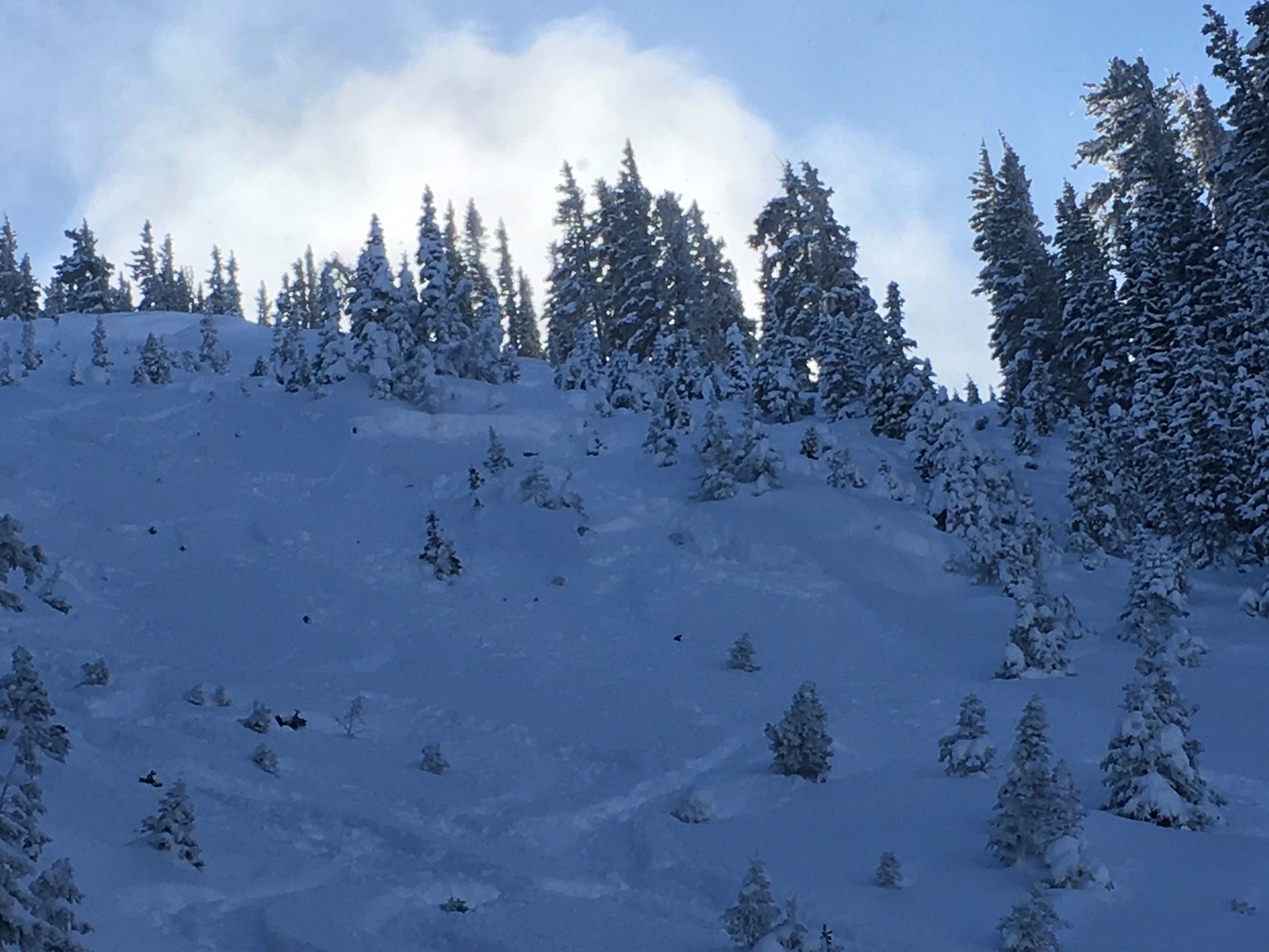
Snowpack: Not as wind effected as expected. Penetration of ski was ~10-20cm all day except for the brief period when we were on more open/exposed terrain NTL. Found stiffer more supportable snow in those areas.
Surface hoar was present throughout the entire tour except for on NW aspect. Fairly large in size near the sleds and a bit smaller as we traveled higher and higher.
South facing slopes were wind loaded but did not appear to be stiff or have a slab form yet. Snow was getting moist on sunnier sides.