Location: Paradise Divide Area
Date of Observation: 01/25/2020
Name: Joey Carpenter
Subject: Paradise Divide S/SW
Aspect: South, South West, West
Elevation: 11k-12250k
Avalanches:
Glide cracks creeping down throughout the day on repeater path @ purple palace, ~10k.
2ish day old windslab W face gothic, crossloaded feature. Appeared to be confined to recent storm snow.
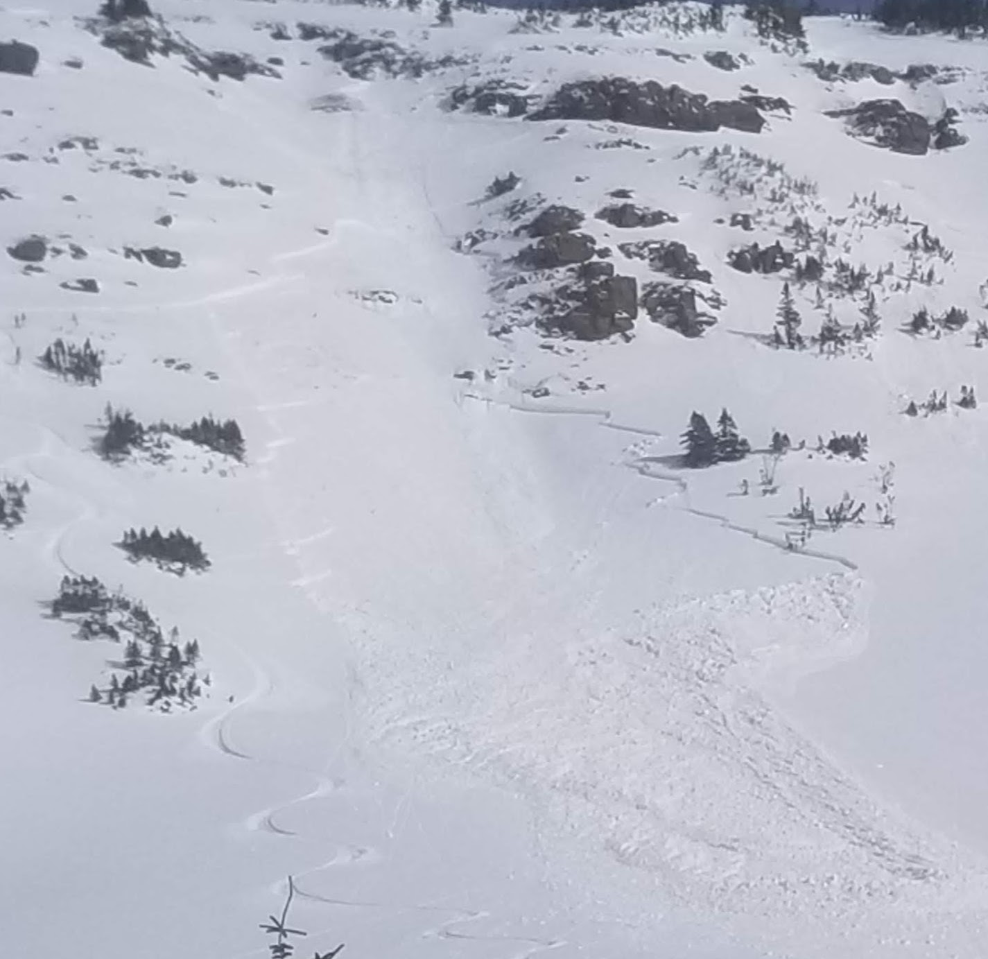
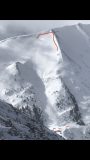
E face off SE ridge of purple. Recent storm snow, R2D2. Debris ran to bench/lake ~1600 vert. This has been a repeater path this season and appears to have run around 1/23
Debris toes off cinnamon. S faces. Ran to the trail. Again appear to be from most recent cycle.
Two more debris toes from WSC bowl. N aspect. These appear to have run possibly during last weeks (1/17) wind event.
Weather: Low clouds in the western part of the fx area persisted throughout the day. The eastern fx area had much clearer skies. Light orographic snowfall S-1 was intermittent throughout the day on Baldy’s southern ridge. Clouds increased in the area and obscured skies around 2p but had cleared by the time I returned to the trailhead @ ~330p. Winds were calm to light with no transport observed. Temps remained comfortable at 12k and warmed near valley bottoms.
Snowpack: The idea of today was to find spots to dig on S and W slopes near paradise divide. What I discovered is that there is as vast variety of mixed, shallow garbage laced with easily collapsible crust/facet combos at all elevation bands traveled through this area. SPX depths varied vastly, SW/S/SE areas along upper elevation ridgelines held an inconsistent menu of faceted junk, to facets capped by a crust, to facets capped with a crust with storm snow atop, to larger slabs resting on faceted junk. The further SE tilt held the larger slabs. Deepest spx on these aspects approached 120cm on slightly leeward terrain, to exposed bushes and rock on windward sides. The western side of the S bowl on baldy appeared heavily crossloaded while the eastern portion had bushes/rocks protruding. Large midwinter like cornices have begun to build along easterly facing terrain at upper elevations. Got one whumph and associated crack at 11.5k on a 27 degree SW aspect w/ HS of 55c. 25c storm snow and 30c of facets. Crack failed at storm snow interface. Snow surfaces below 11.5k facing SE and S moistened during the day with intense solar influence. By the time the sun tilted SW, clouds began to filter. Overall impression is that these solar influenced aspects with enough snow to ski have a huge variety in depth and layering that makes any penetrable slab structure very suspect. The skiing was also terrible and I got my sled really, reaally stuck.
Photos:
-
-
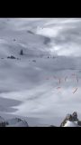
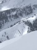
Baldy, WSC bowl debris
-
-
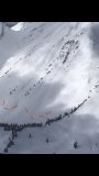
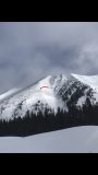
Large cornices
-
-
Cinnamon South debris
-
-
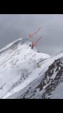
Gothic west side
-
-
Long running recent avalanche on southeast aspect. ob. 1/24
-
-
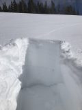
Crack in southwest slope
-
-
Purple Palace glide cracks