Location: Paradise Divide Area
Date of Observation: 02/02/2020
Name: Eric Murrow
Subject: Warm and sunny
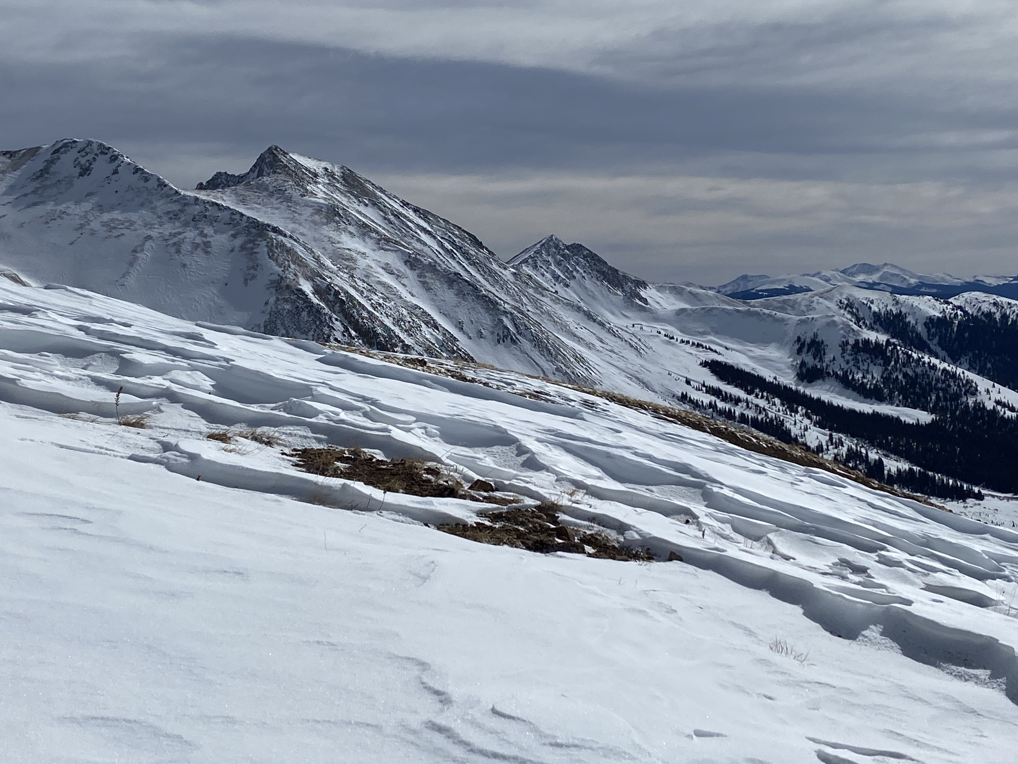
Aspect: East, South East, South, South West, West
Elevation: 9000′ – 10800′
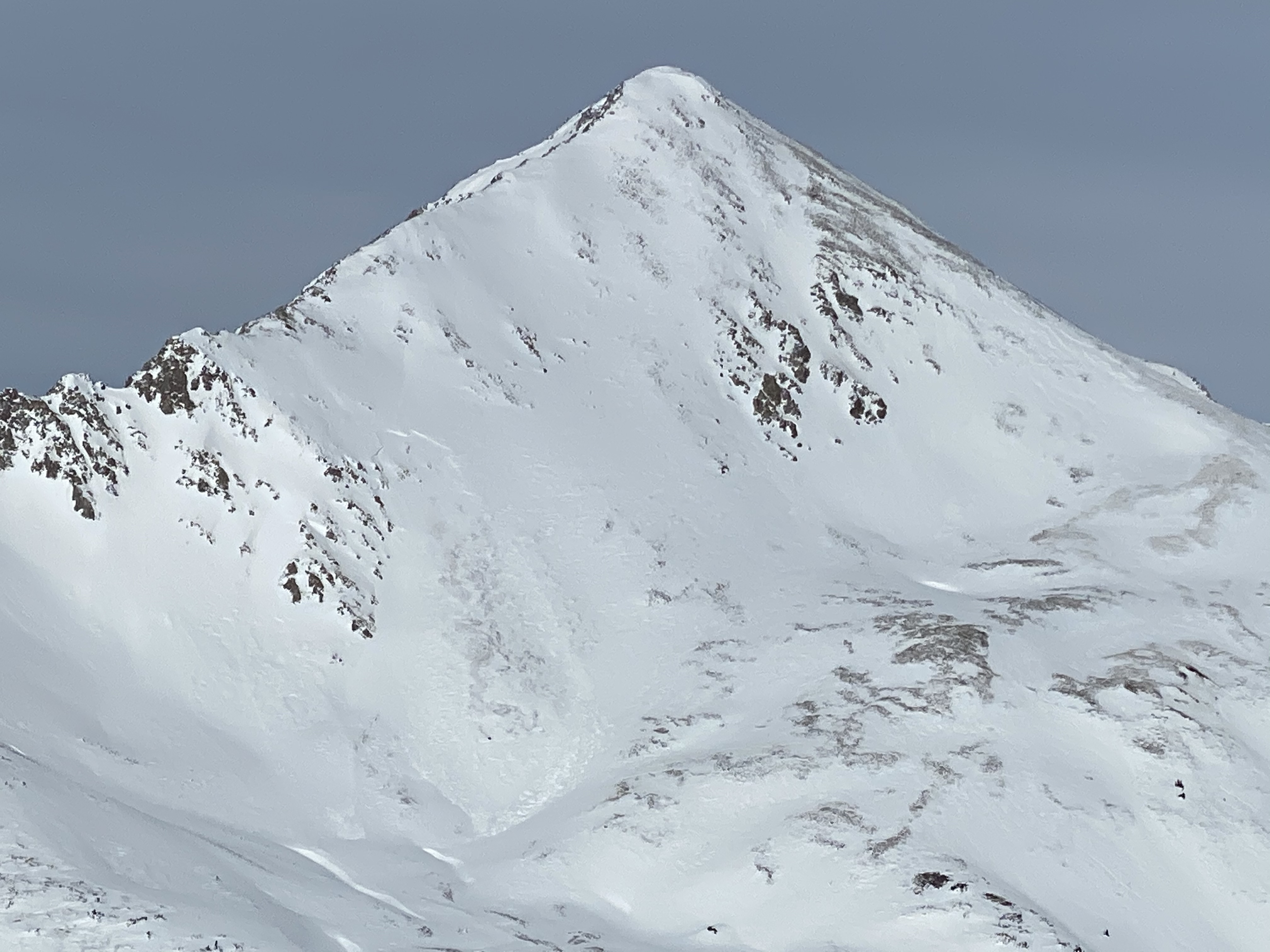
Avalanches: A little family of small loose avalanches on southeast aspect of Cascade below treeline coming out of a steep rocky area. I would guess they ran on Saturday.
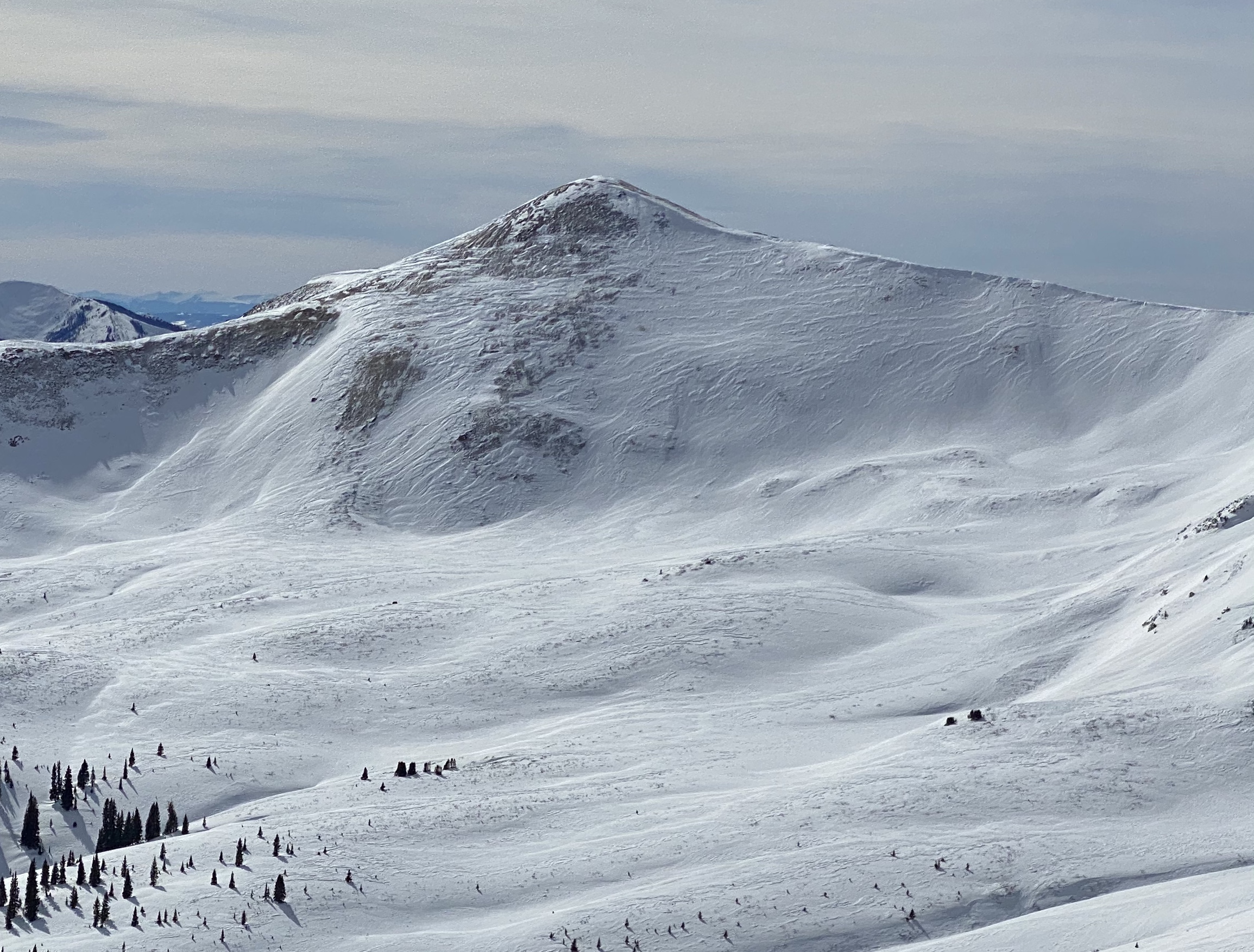
Weather: It was a warm balmy day with light winds below treeline. Occasional plumes and flagging were visible throughout the day off ridgetops and peaks, but no real loading.
Snowpack: By about noon old surface crusts had broken down from temps and solar on southeast and south aspects. Did not see any fresh loose avalanche activity today through about 230pm. Riding conditions became quite nice on sunny slopes below treeline. Skied and snowmobiled numerous small test slopes below treeline without any results other than some very minor roller balls.
Photos:
-
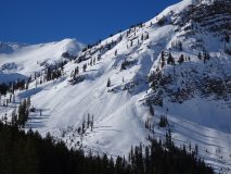
- Loose avalanches from steep rocky southeast terrain