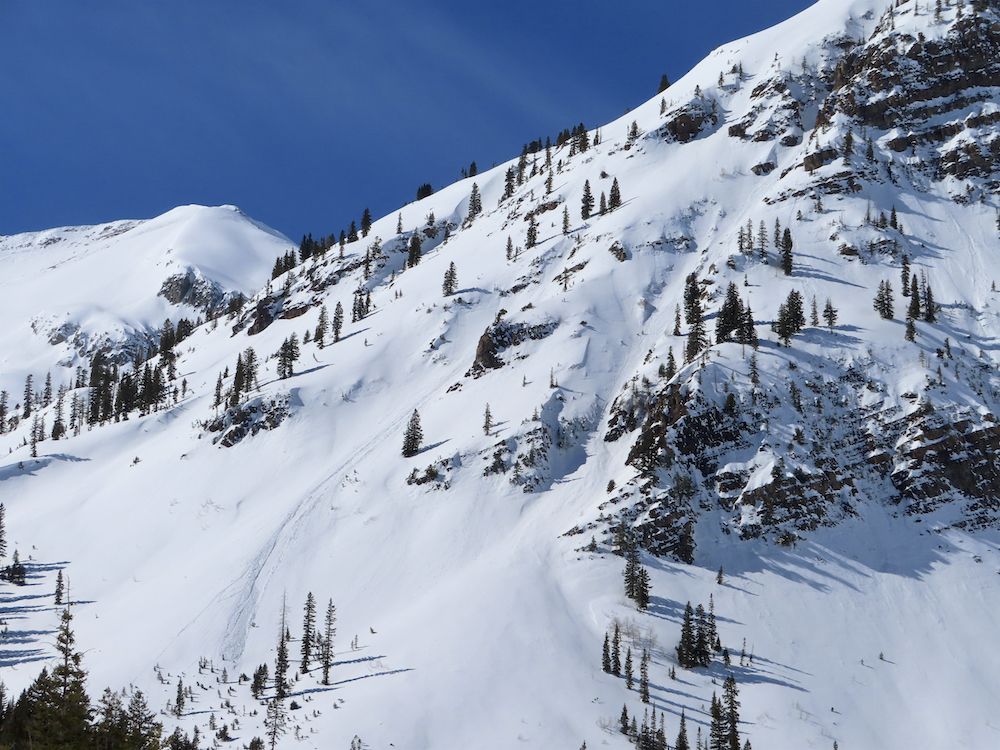
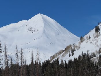
Location: Kebler Pass Area
Date of Observation: 02/21/2020
Name: Ian Havlick
Subject: Ruby Chute
Aspect: North East, East, South East, South
Elevation: 10-12,800ft
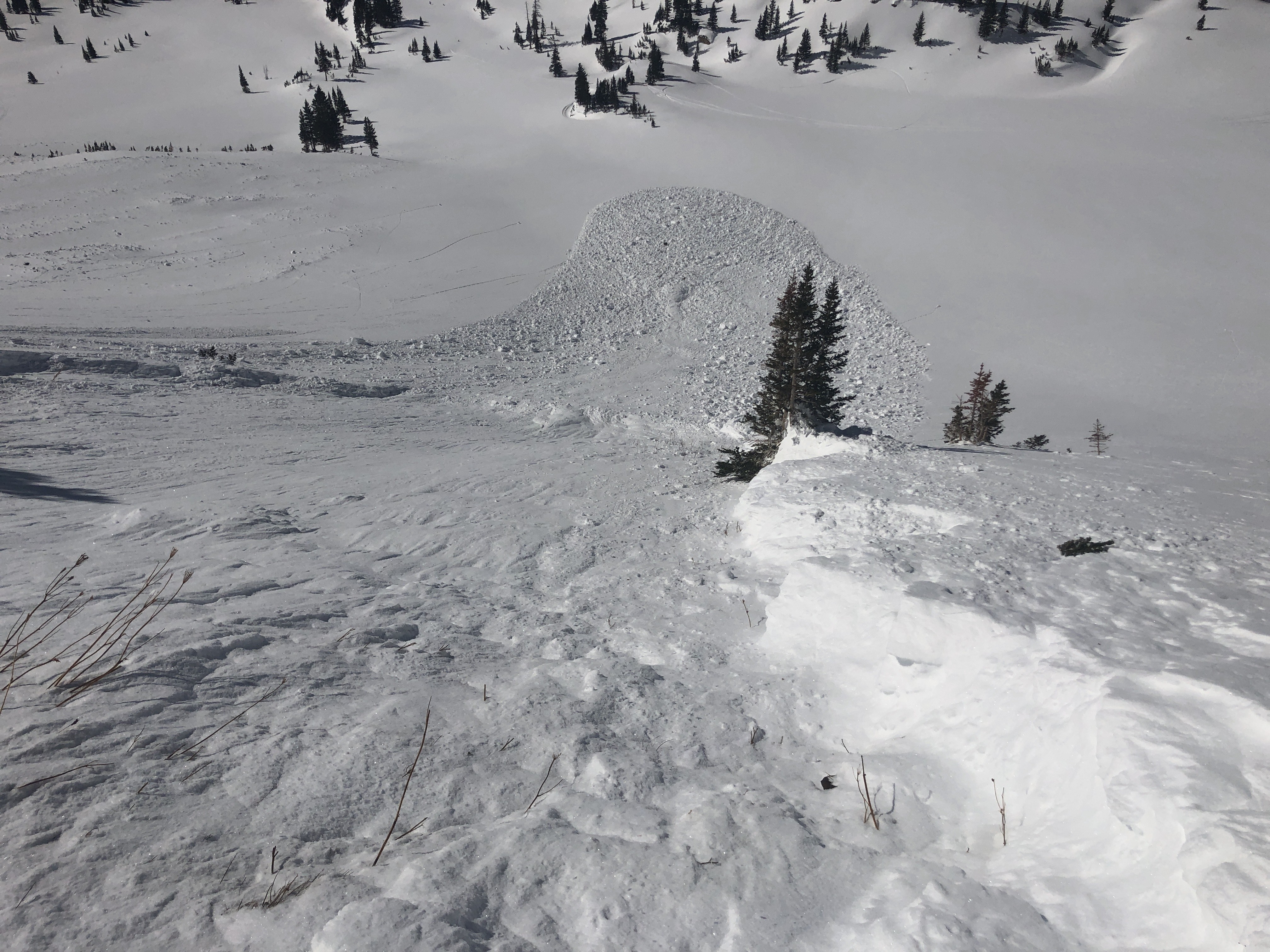
Avalanches: Popped a few small wind slabs no deeper than 25cm descending couloir proper, fairly stubborn with most needing to have been undercut by the previous skier to then pop. Pretty manageable but enough slabs to keep our guard up.
Weather: clear, calm, strong solar radiation and noticeable valley inversion early before 0800.
Snowpack: crusty on souths with most of Monday’s snow either blown clear or cooked down. Shady aspects still hold cold snow and old wind slabs stubborn to weight of skier hang on in areas the sun cannot reach. 60m rope needed for rappel.