Date of Observation: 01/18/2022
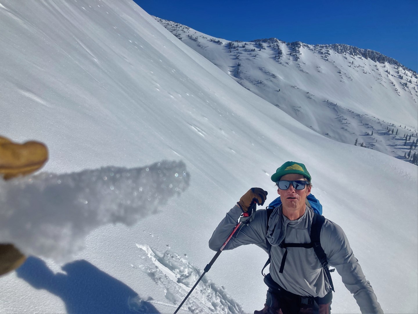
Name: Evan Ross & Zach Guy
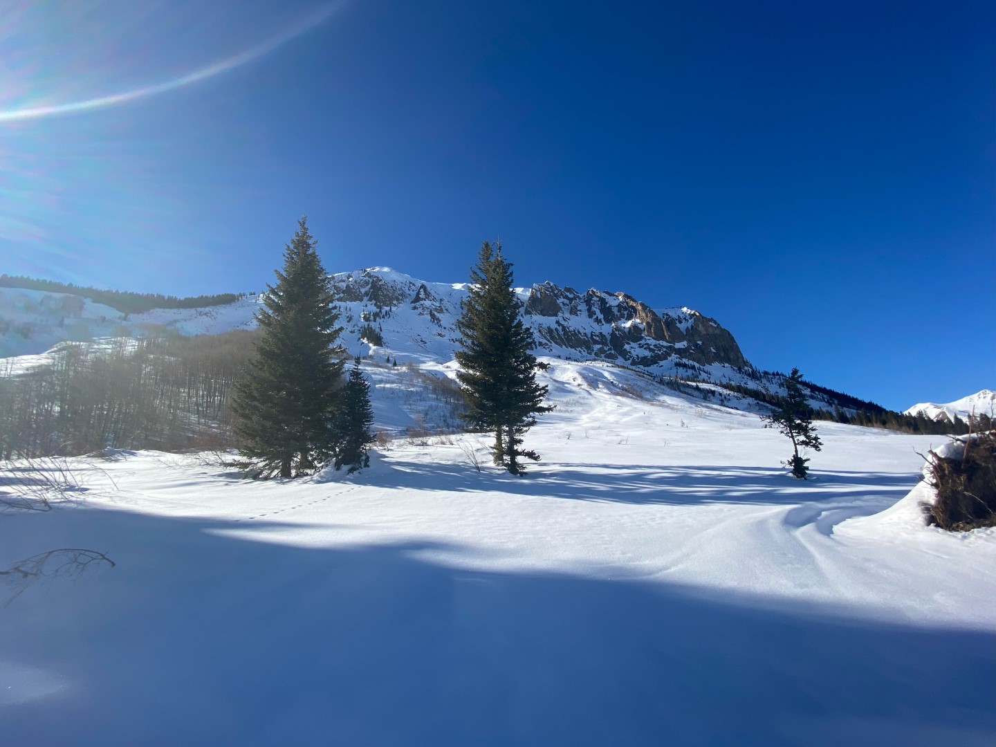
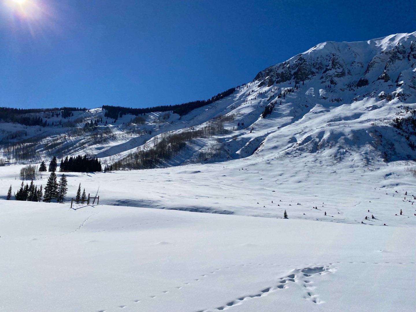
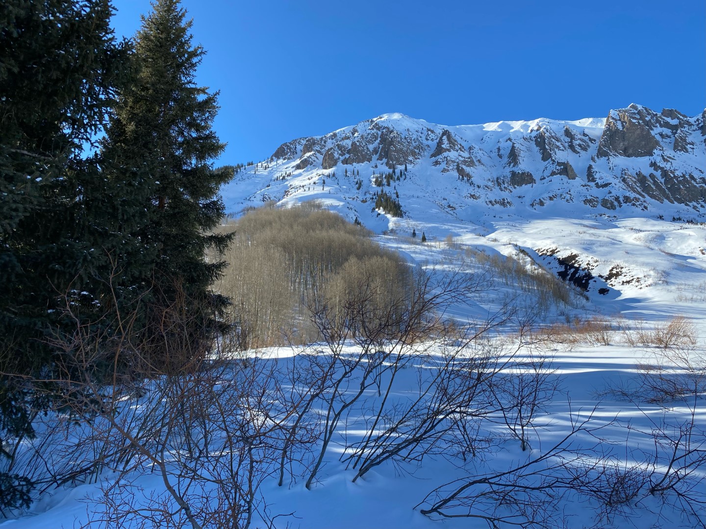
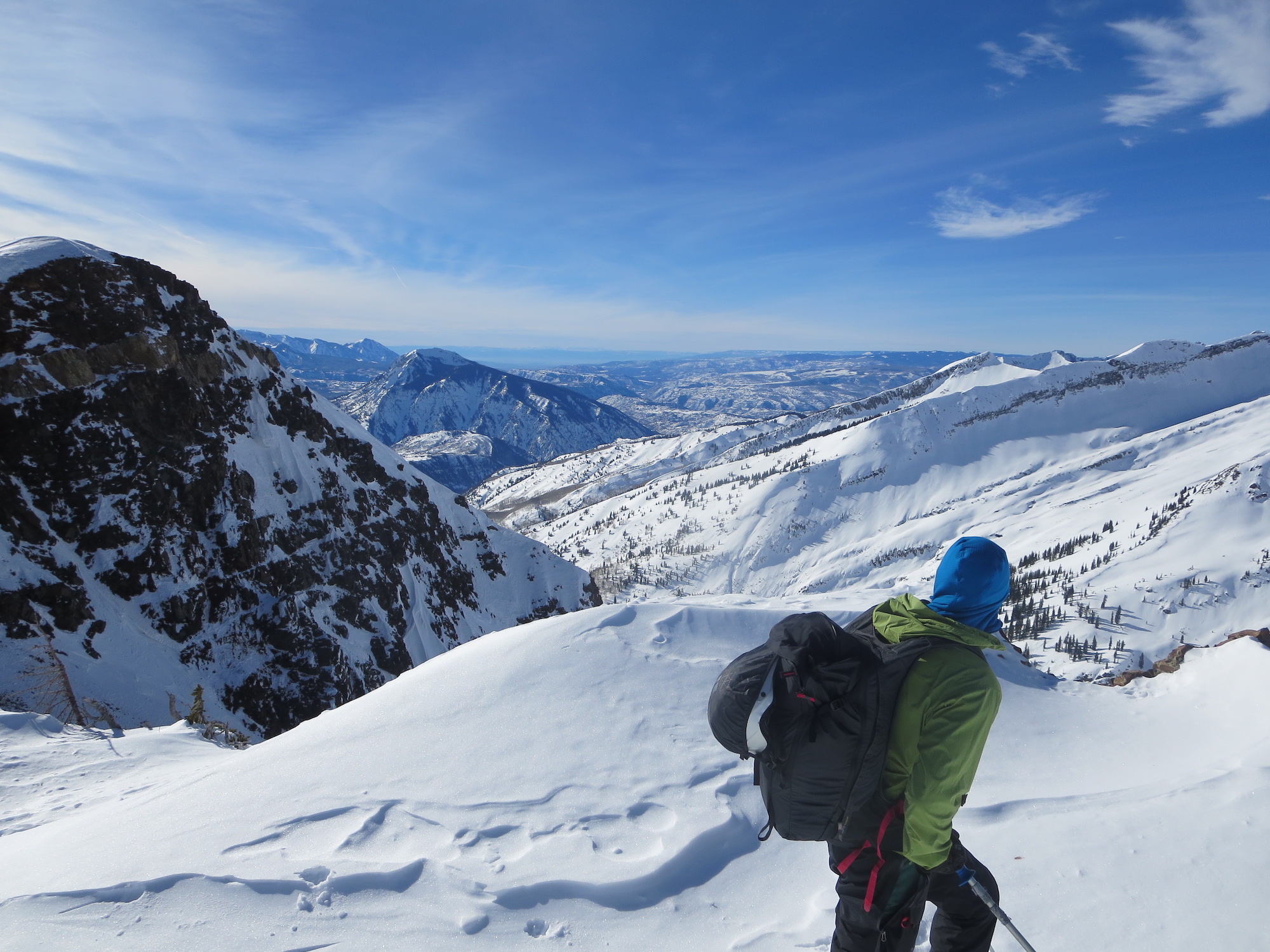
Zone: Northwest Mountains
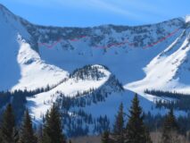
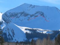
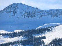
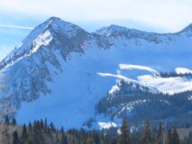
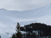
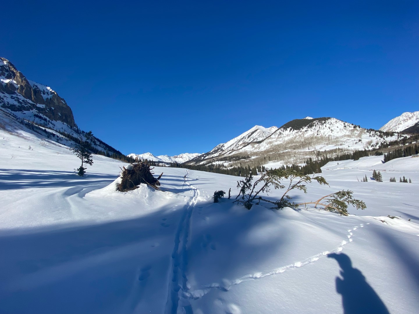
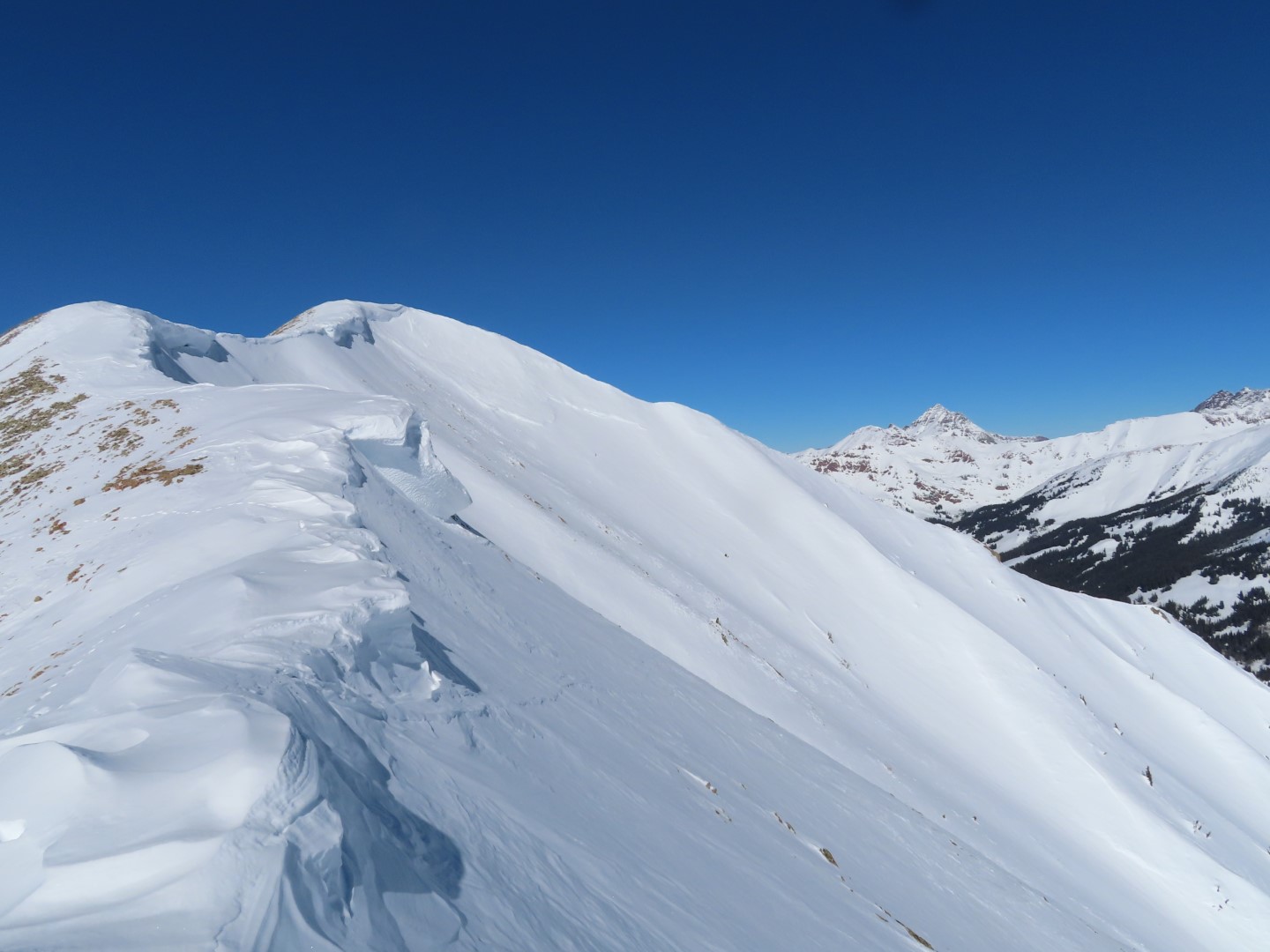
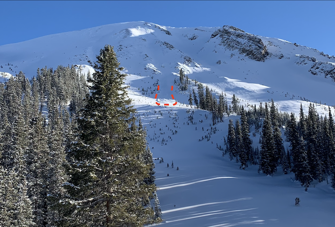
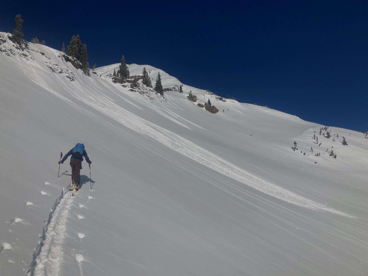
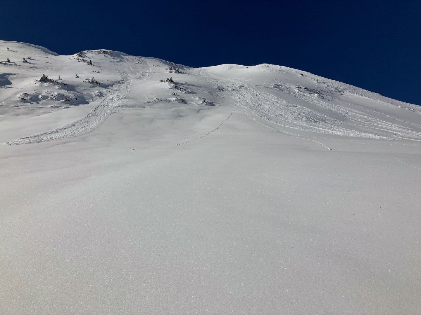
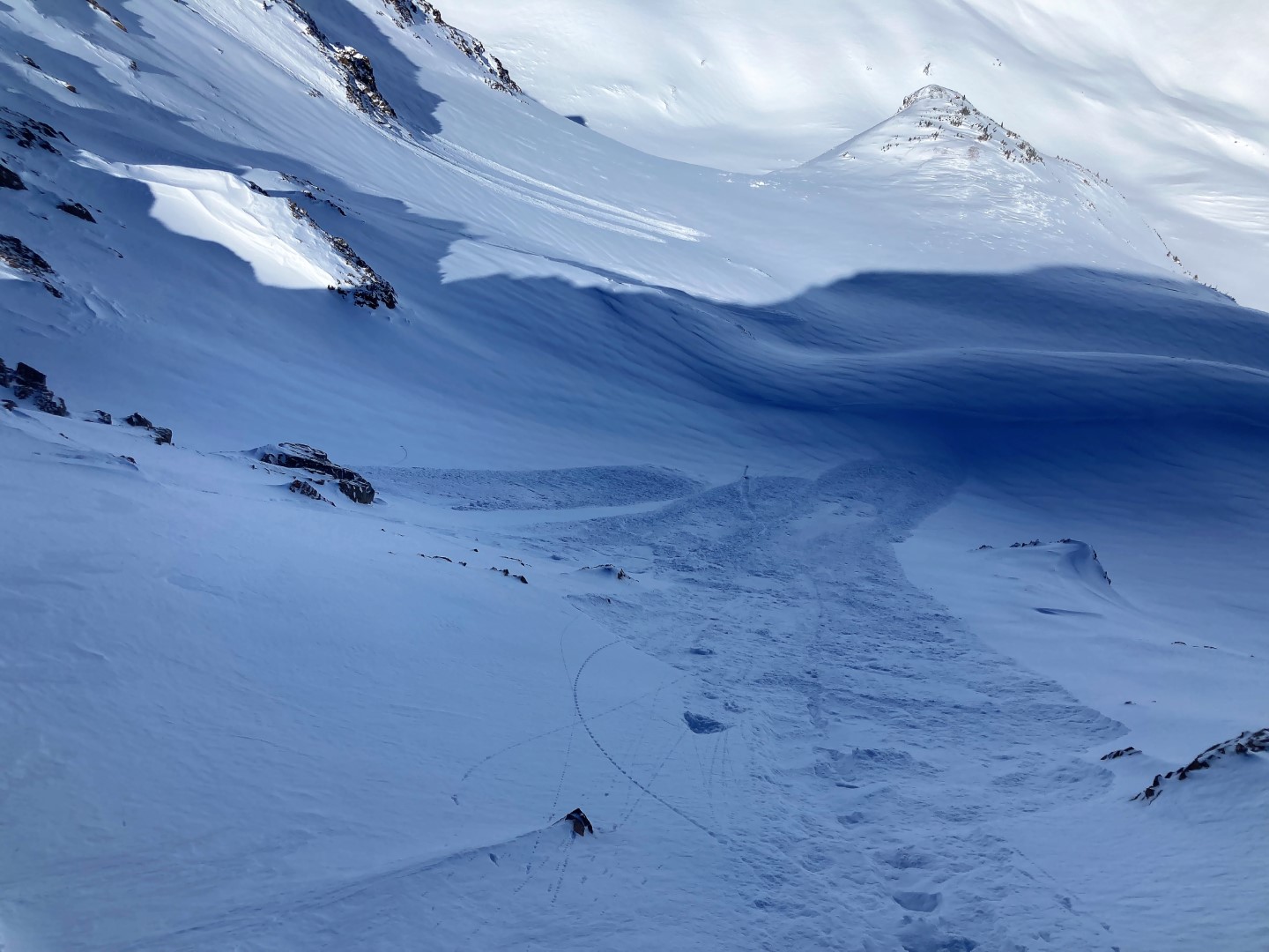
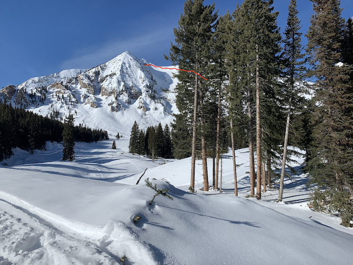
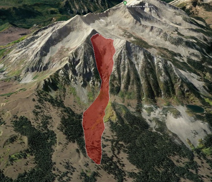
Route Description: Up the RLB skin track. Out Scarps. Drop to Peeler Basin and out OBJ. 9,000ft to 12,300ft. Primary traveling on aspects facing the northern half of the compass.
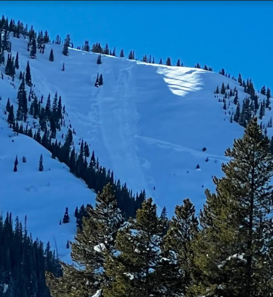
Observed avalanche activity: No
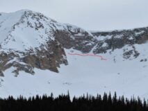
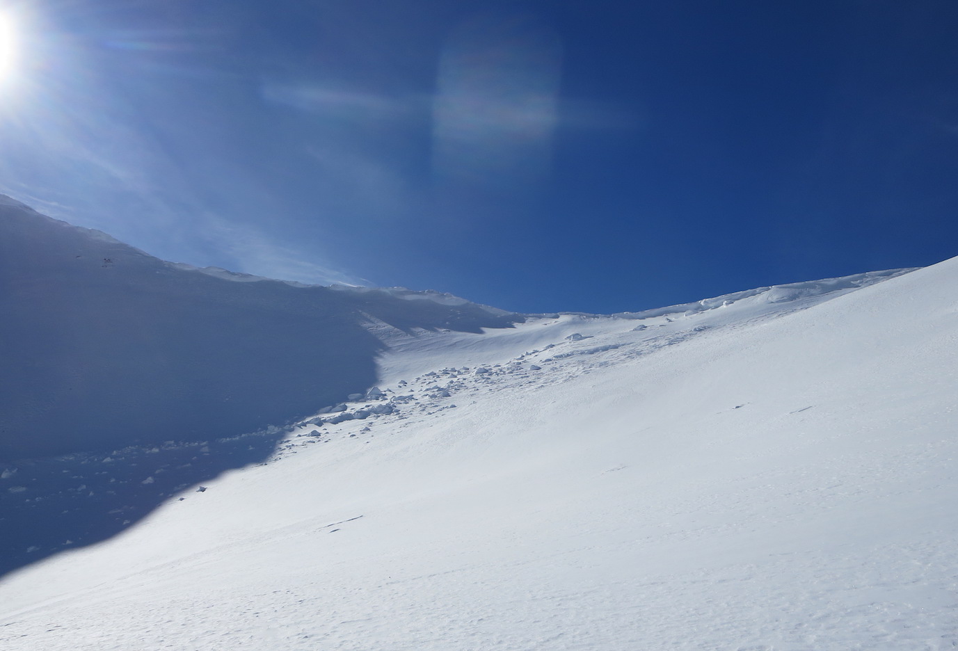
Avalanches: All old avalanches from the holiday avalanche cycle.
Weather: Increasing and decreasing sky. Anything from clear to overcast throughout the day. Clam wind.
Snowpack: This tour didn’t encounter a moment where it felt like there was a chance of triggering a slab avalanche. Small sluffs on steep northerly slopes were about it. Managing regrouping areas for the very unlikely chance of triggering a large to very large avalanche seemed to be the best travel advice.
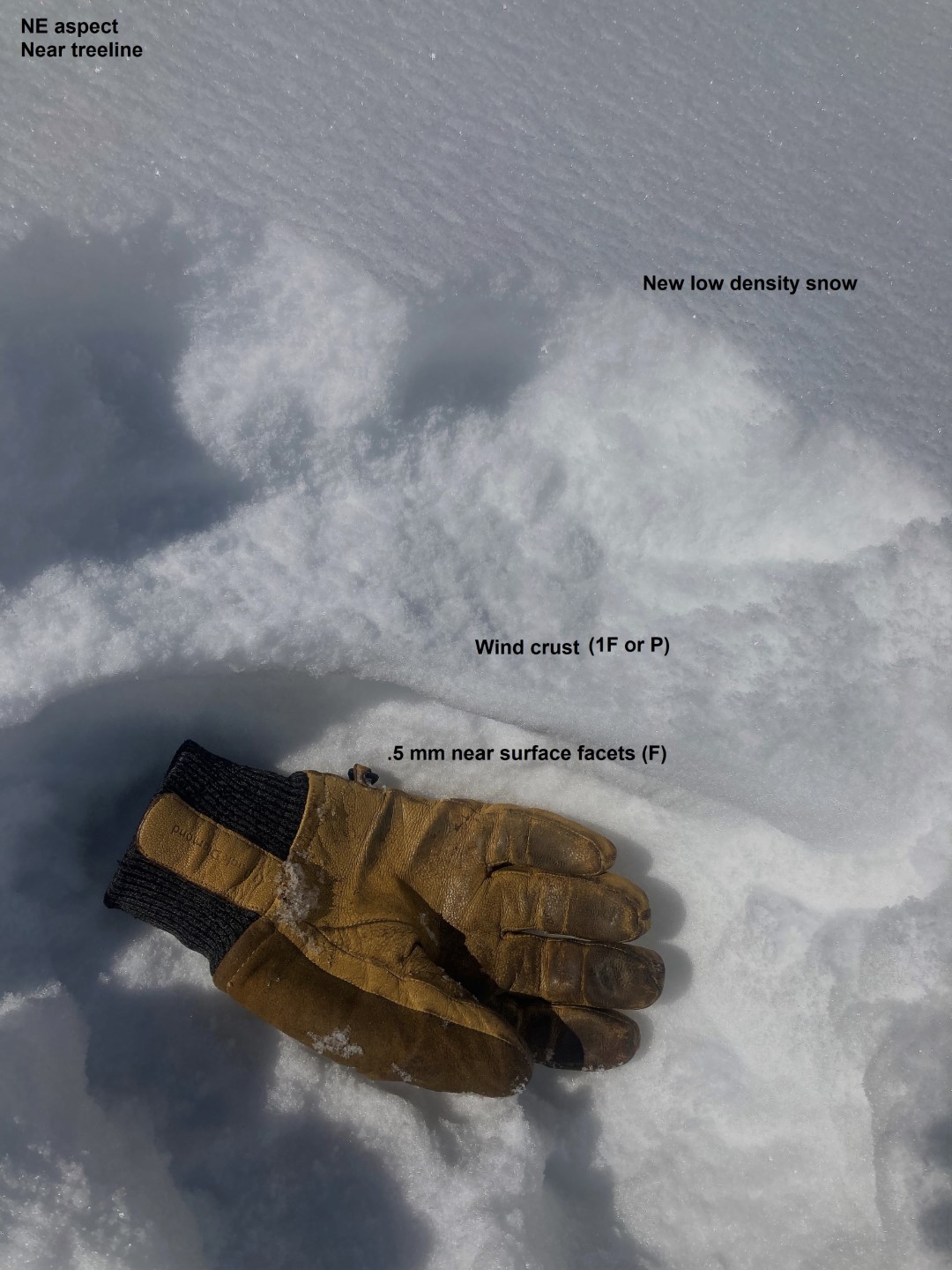
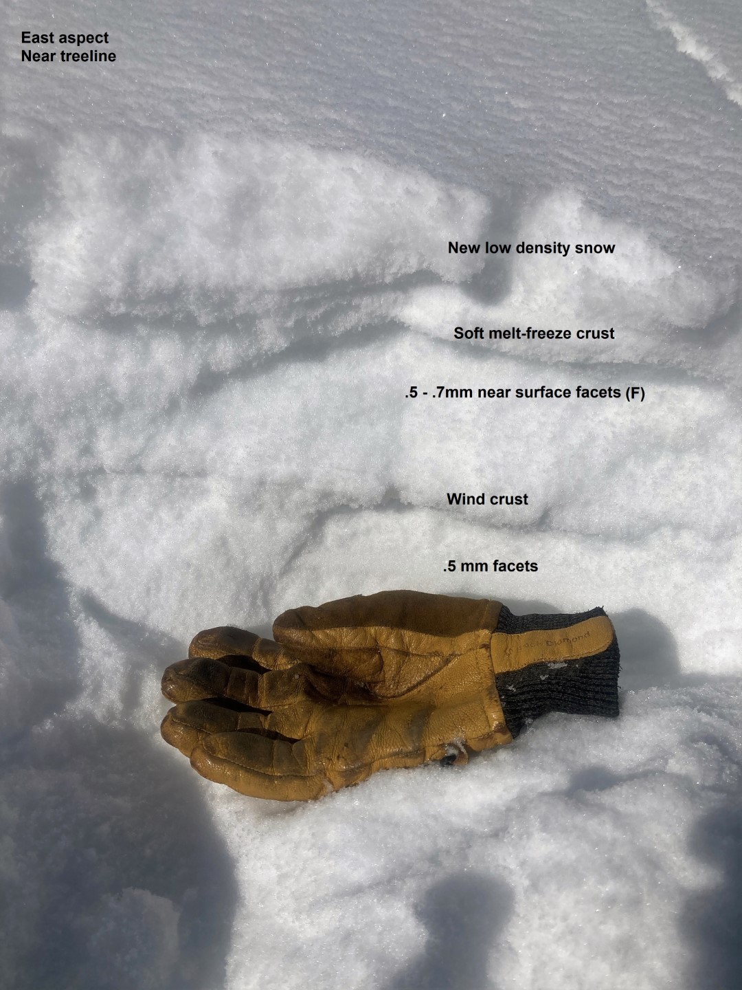
West and NW aspects at NTL elevations had the most dramatic changes from trigger points to a deeper snowpack. Otherwise, we didn’t find ourselves managing trigger point travel advice. Other aspects are either, deep, blown off, or non-problematic.
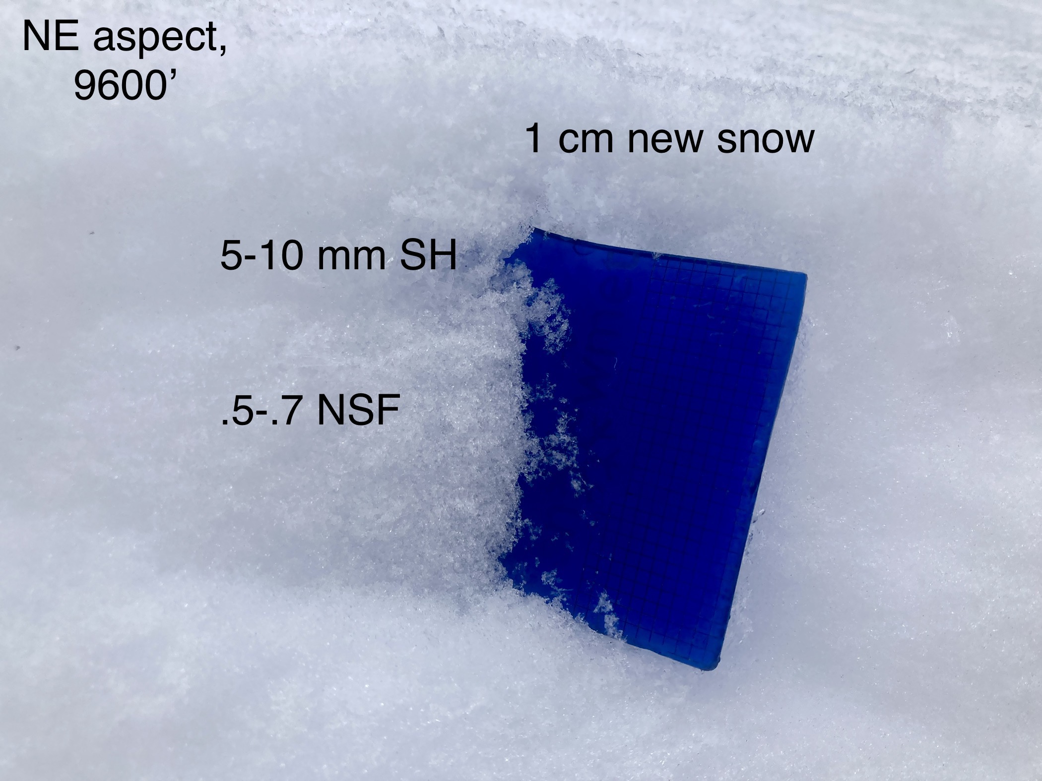
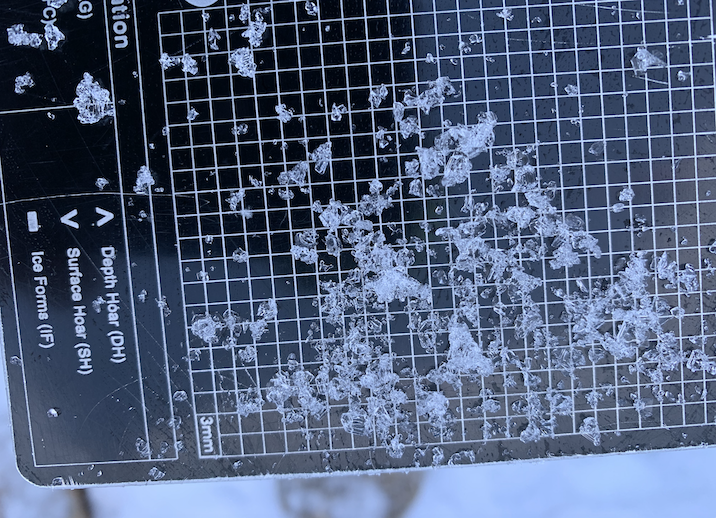
On a northerly facing slope NTL the snow surface consisted of .5mm or smaller NSF. The snowpack is still supportive to boots NTL/BLT elevations and you can actually take both skis off at once without sinking deeply, which isn’t typical for our snowpack this time of year.
5261