Date of Observation: 01/17/2022
Name: Zach Guy
Zone: Northwest Mountains
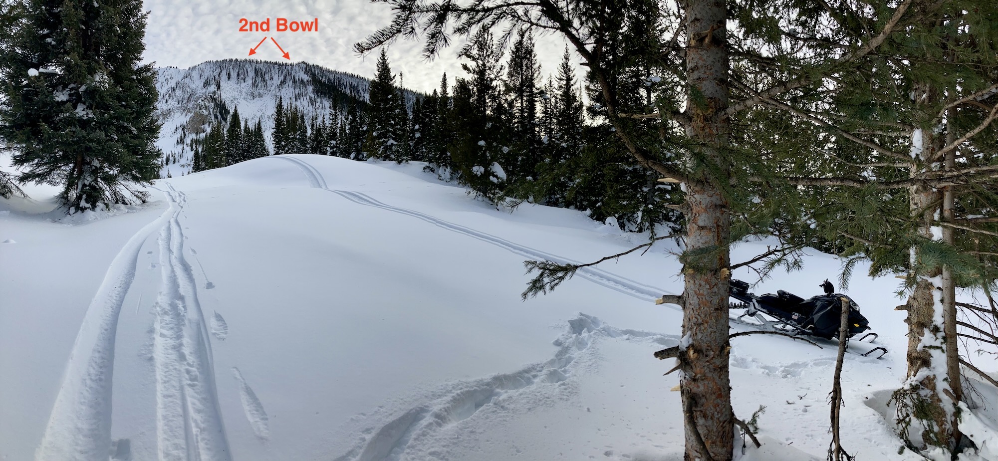
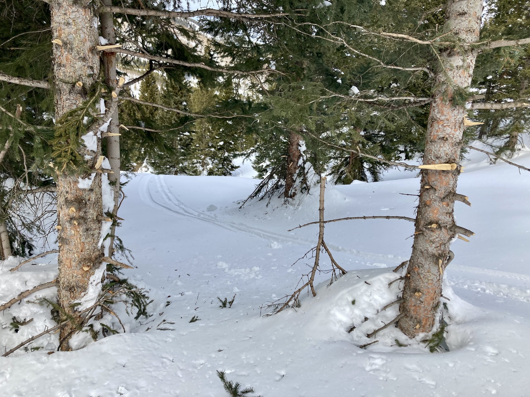
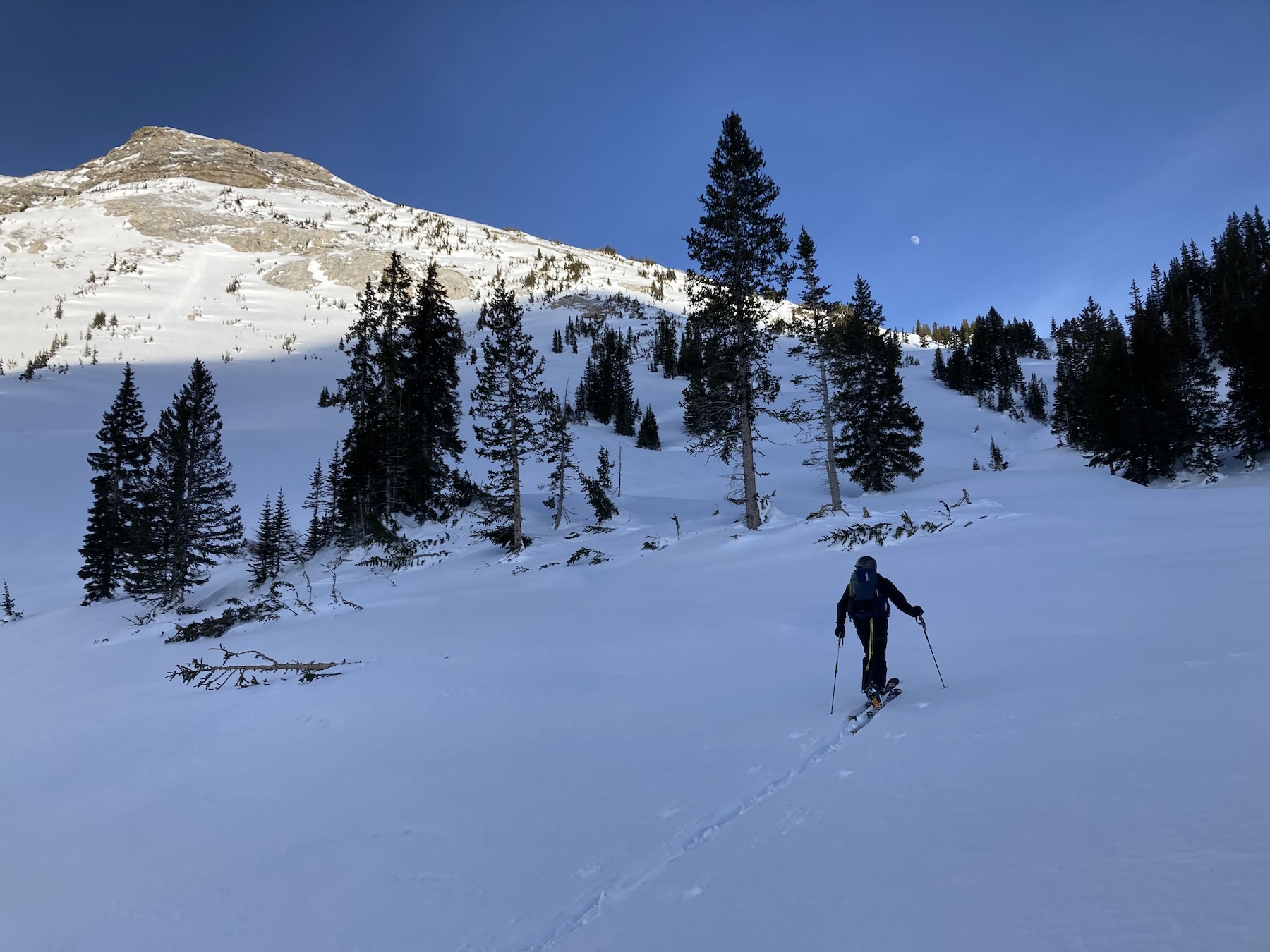
Route Description: Skied northerly aspects to 12,000 ft. on Axtell
Observed avalanche activity: Yes
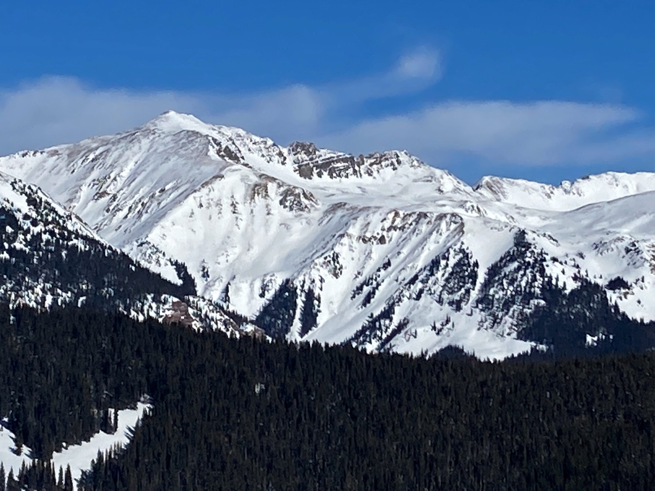
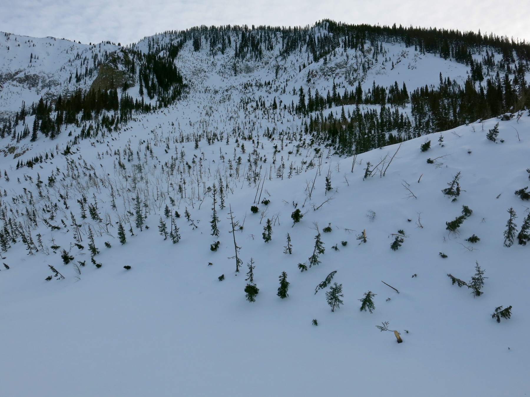
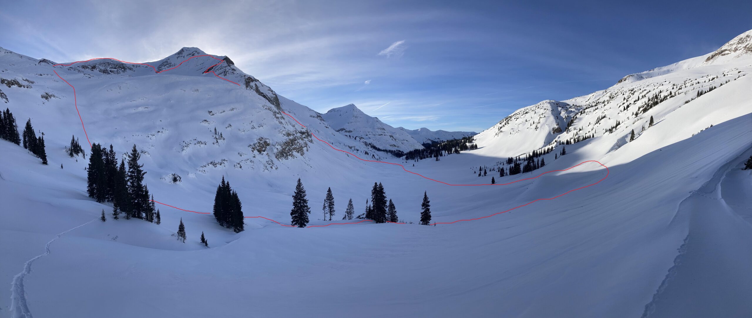
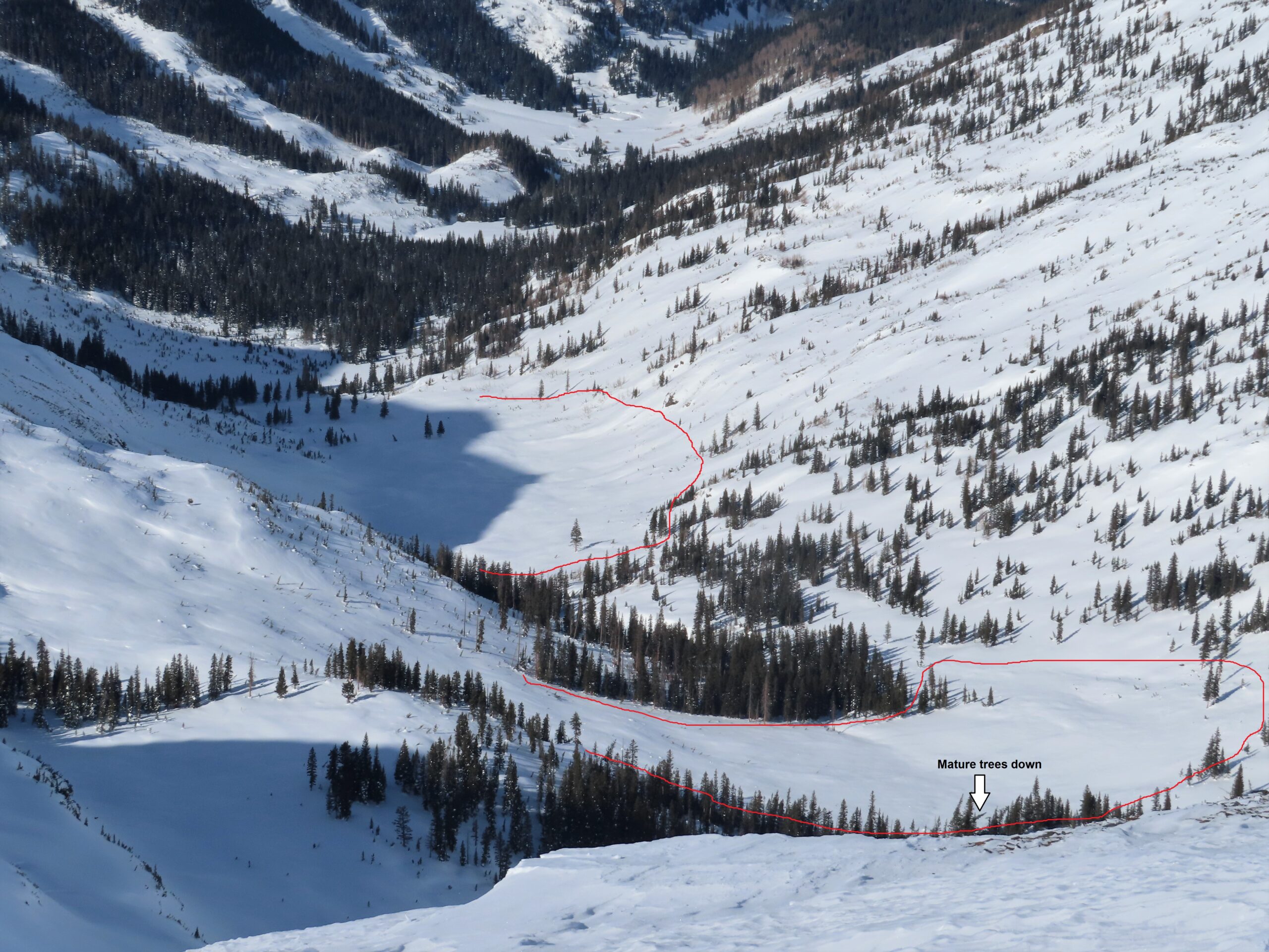
Avalanches: Nothing recent. Got a closer look at carnage from the last cycle in 3rd and 4th Bowl. There is a full-depth crown that runs from the edge of 2nd Bowl to the far edge of the Pencil, but not into Wang Chung. This slide snapped a bunch of trees up to a foot in diameter near its trim line, and the debris merged with 2nd Bowl debris. The crown might have connected to the 2nd Bowl avalanche (previously documented). The slide on the Shield (previously documented) ran just short of a mile, snapping mature trees in its trimline, well out of site of the start zone. The alpha angle from the furthest tree snapped is 19 degrees. There really isn’t anywhere within the runouts of 2nd, 3rd, or 4th bowls that you could have stood safely during December 31st.
Weather: Mostly clear. Inverted temps. Calm winds.
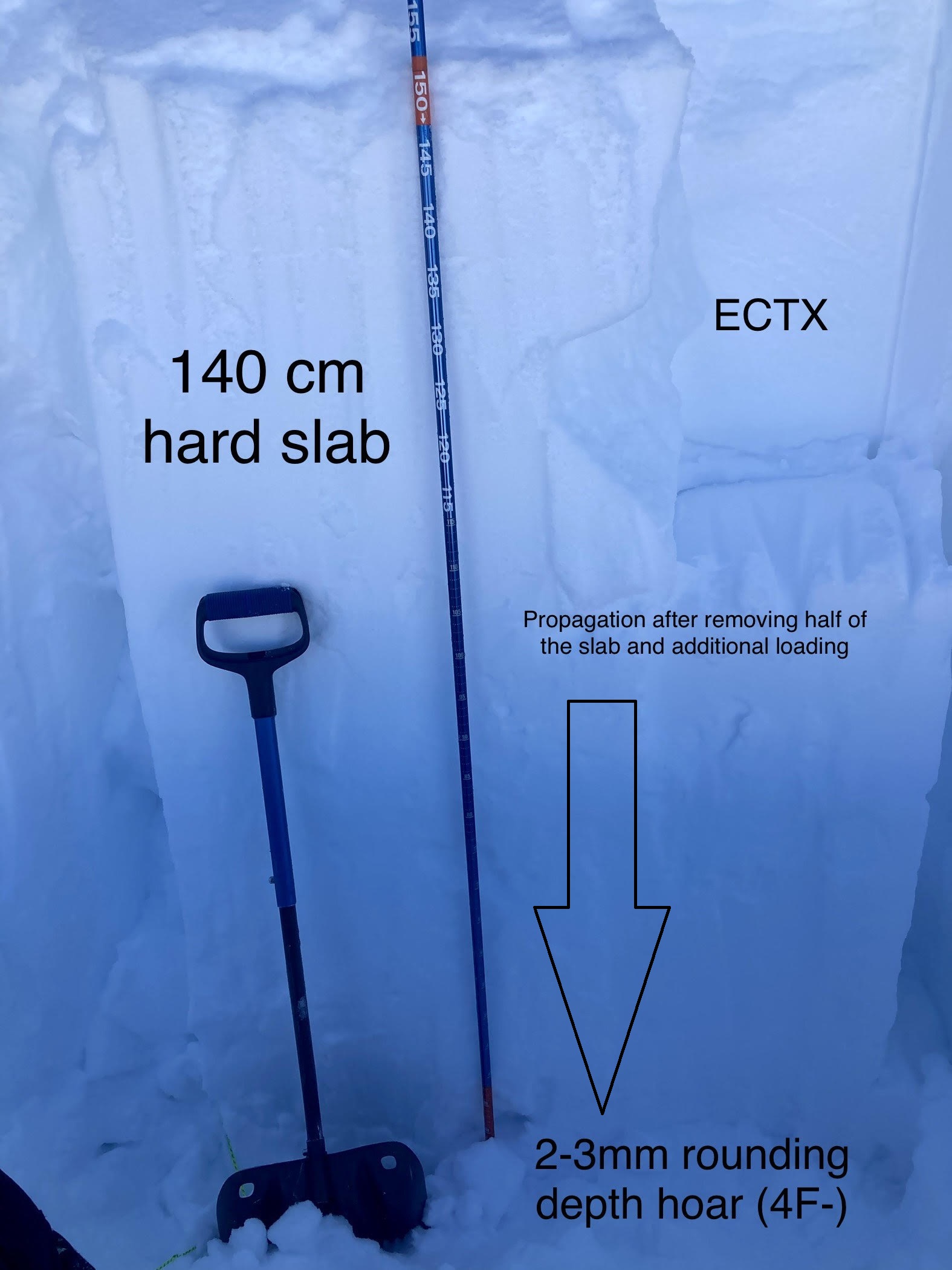
Snowpack: No signs of deep instabilities. Near-surface facet sluffing on open faces, changes to firm wind board in confined terrain where winds get channeled. The Pencil and Shield crowns broke at the ground, so the little snow that is there now is subject to strong temperature gradients. That’s a good recipe for advanced faceting and repeat offenders once the bedsurfaces get reloaded with snowfall. We encountered surface hoar growth as we descended into the inversion, at about 9600′
-
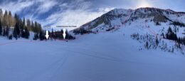
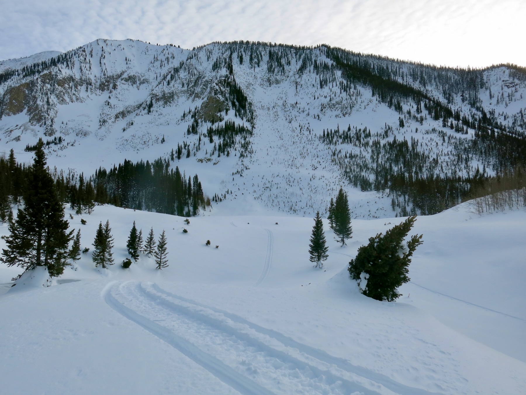
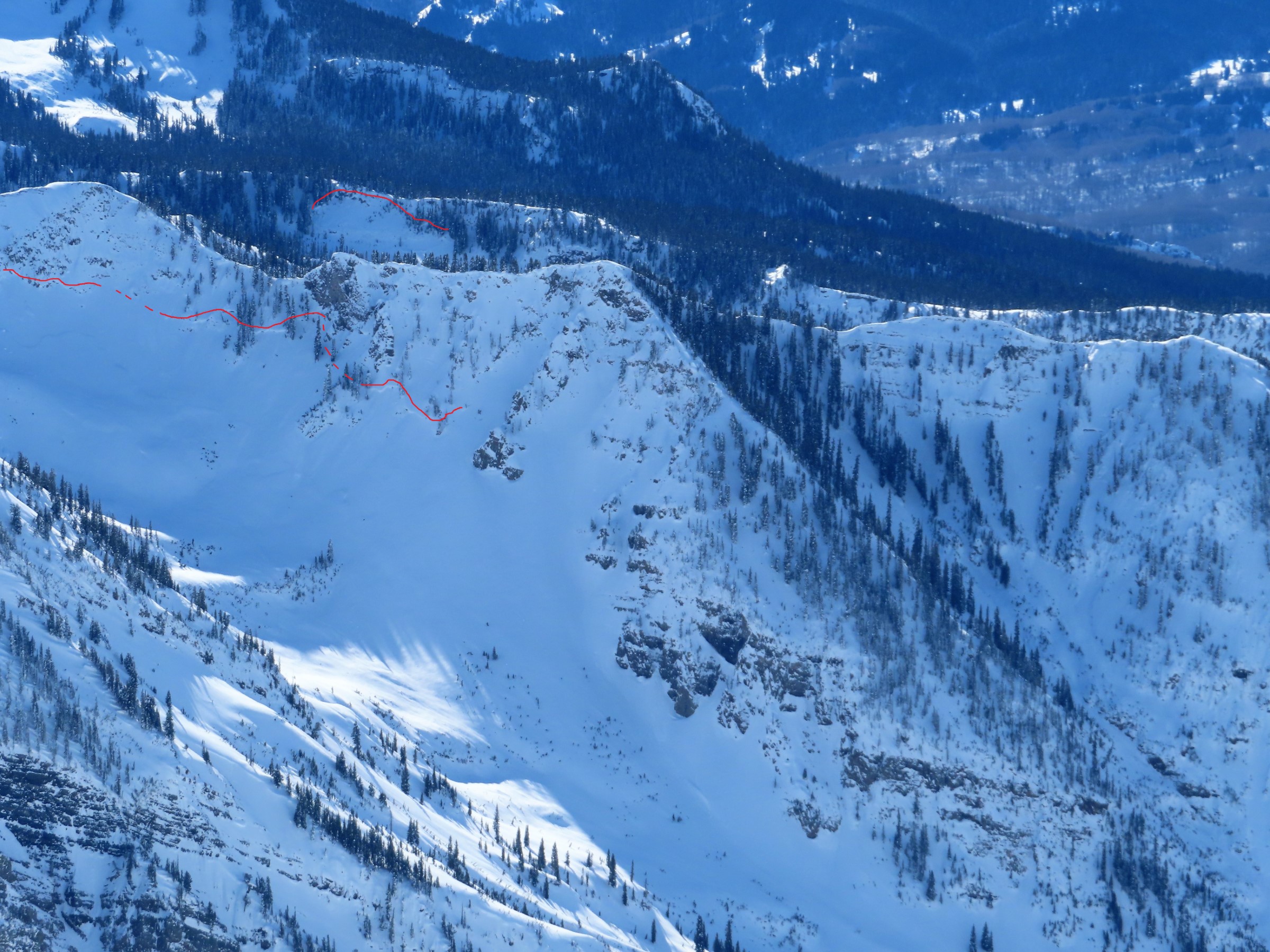
- Looking up from the runout of 3rd Bowl

-
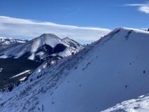
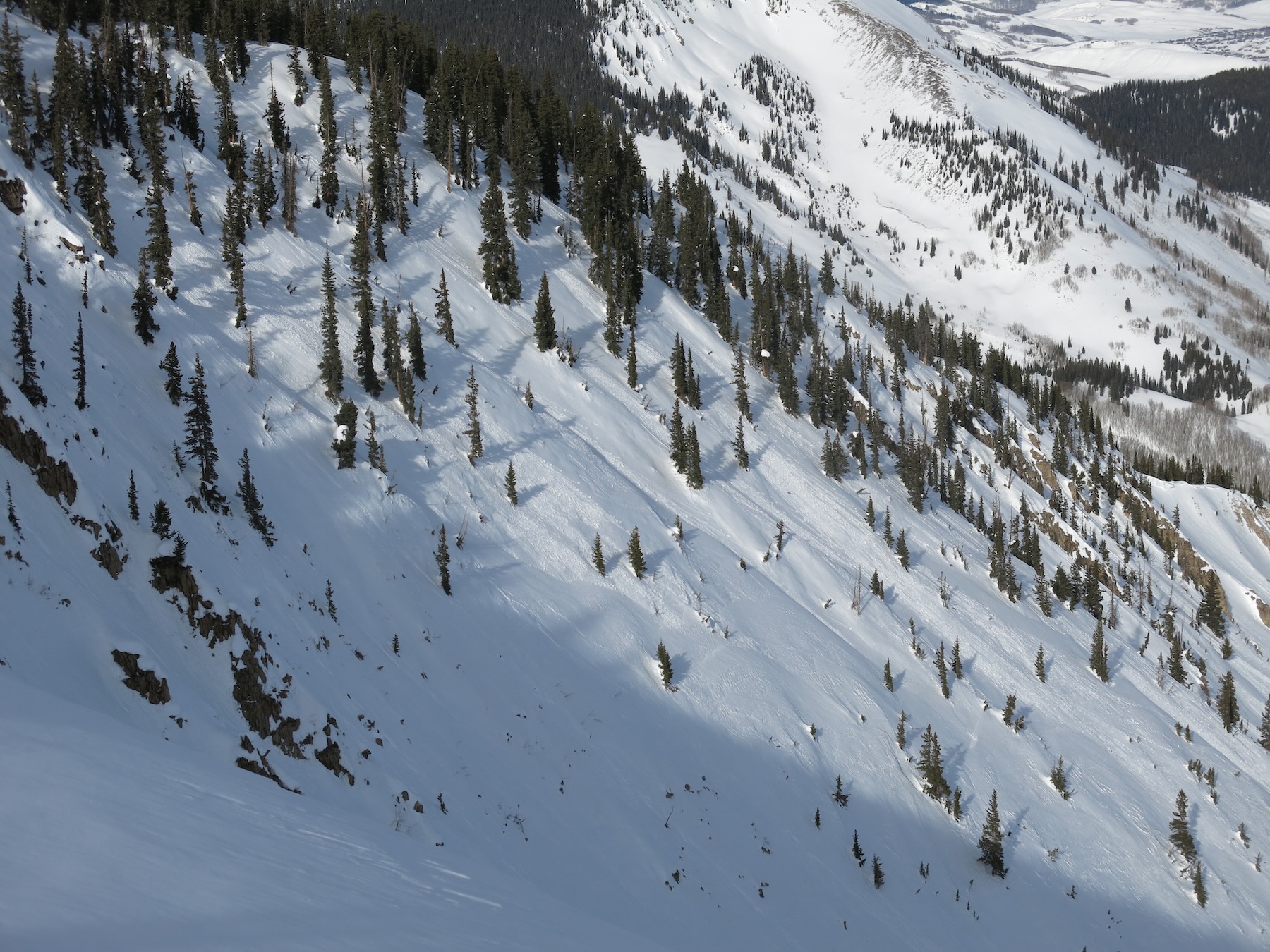
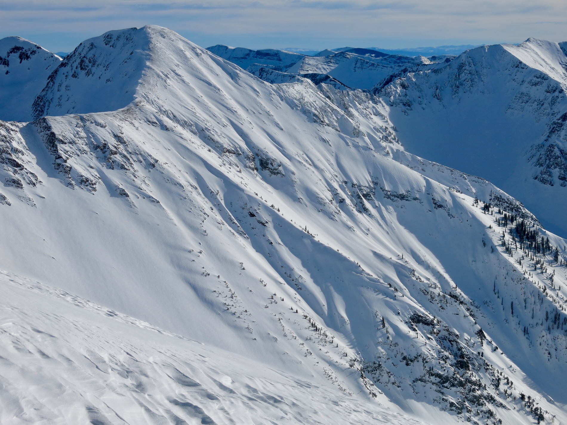
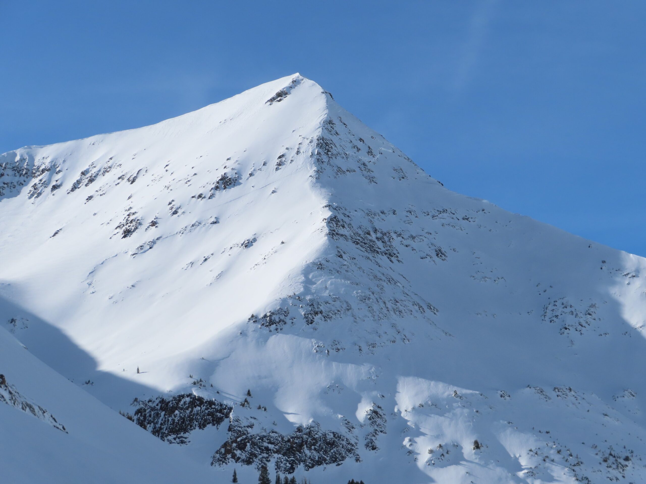
- Looking towards the crown of the Shield

-
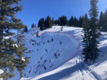
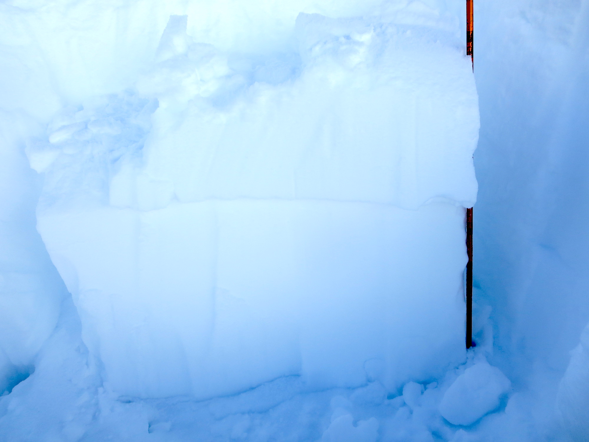
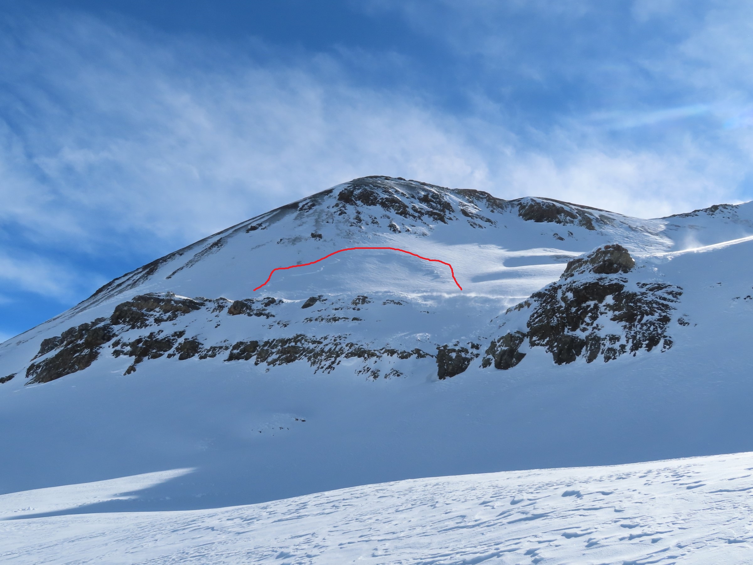
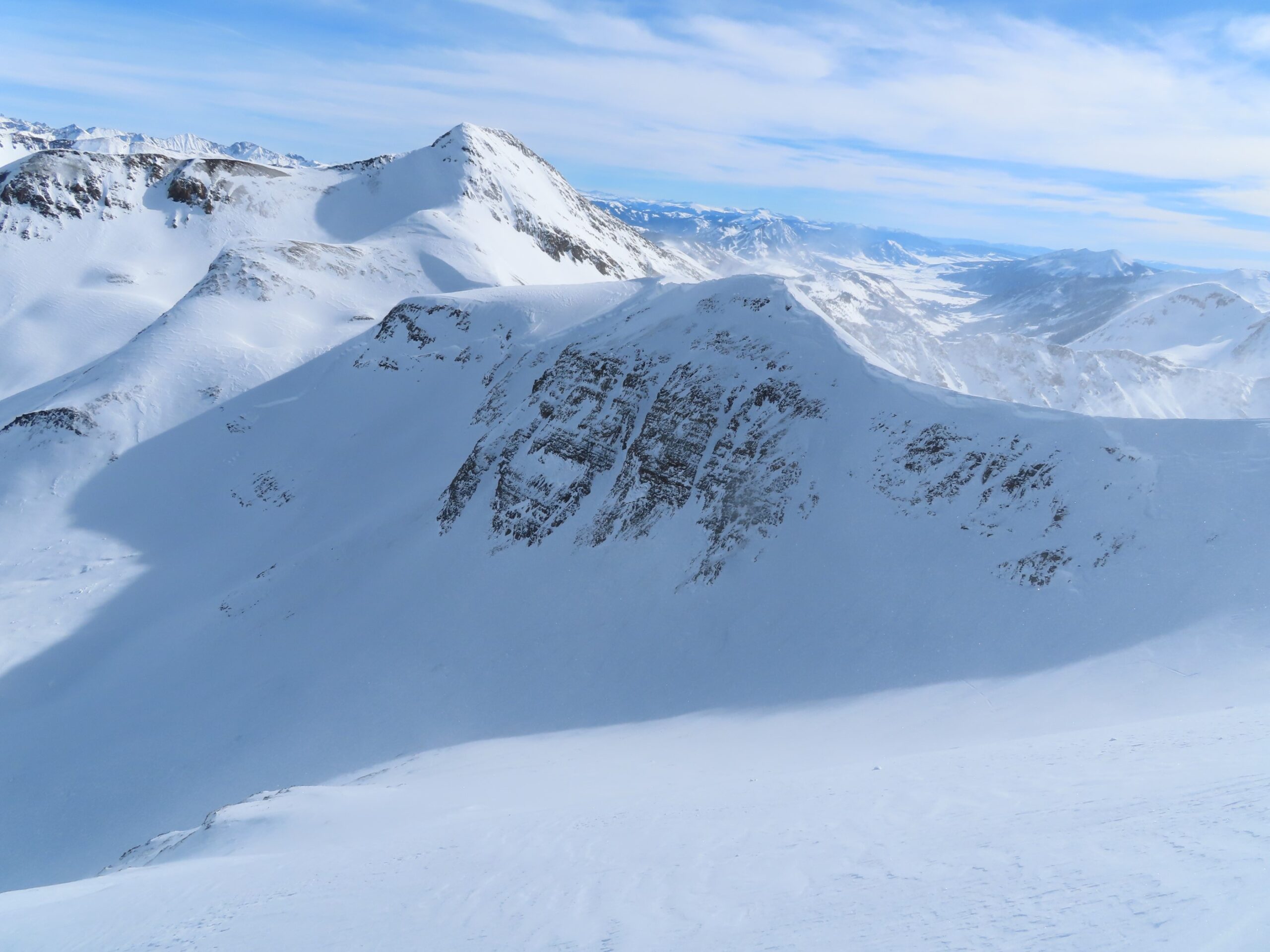
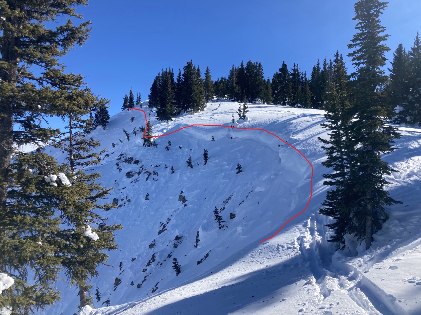
- Crown in the Pencil. Note how shallow the snowpack is in the start zone now…anticipate larger facets developing on bed surfaces like this.
-
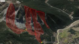
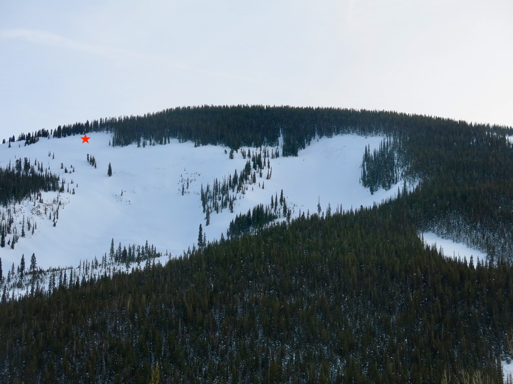
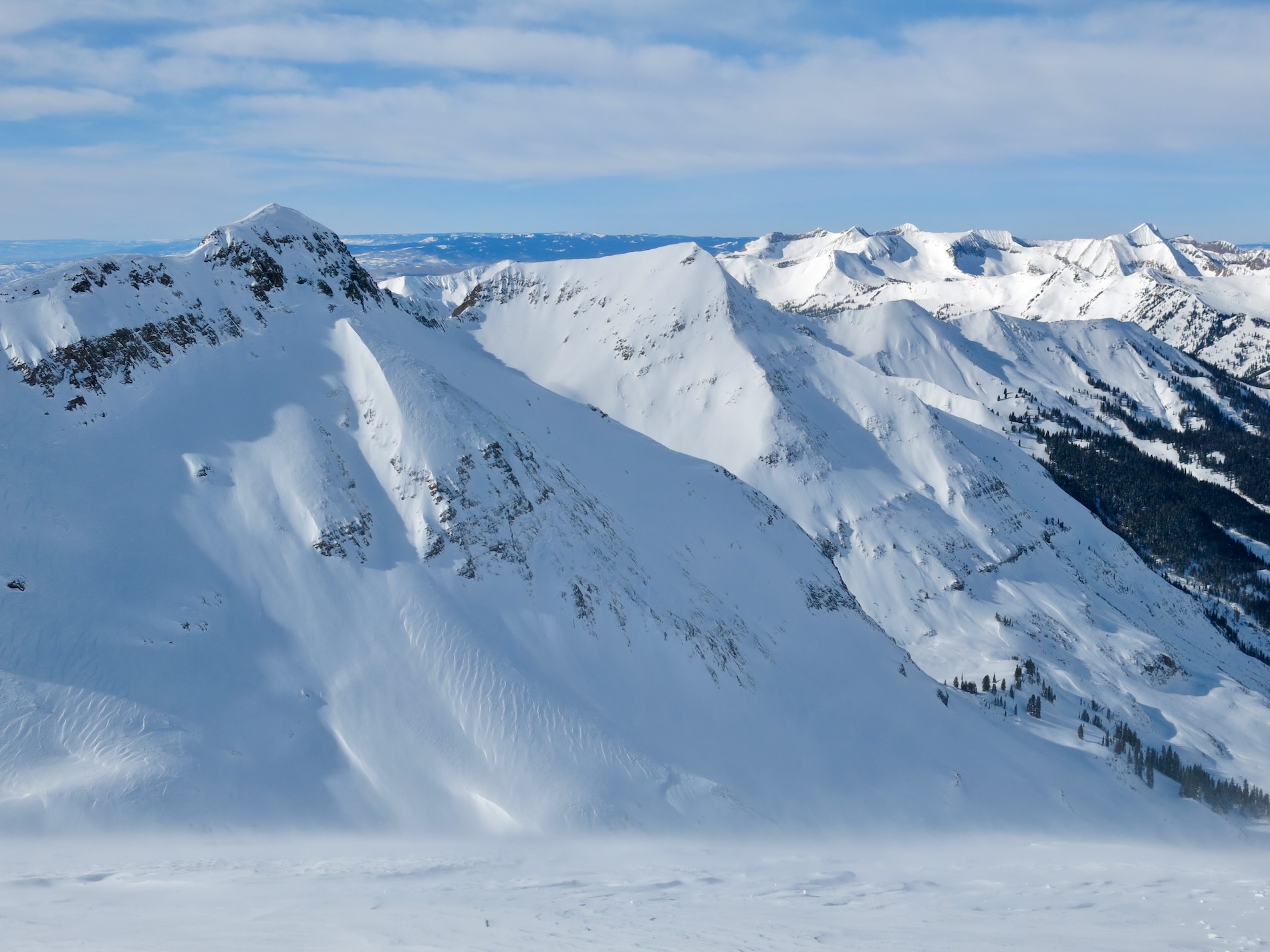
- Estimated extent of 12/31 avalanche activity after several staff site visits on Axtell this month.