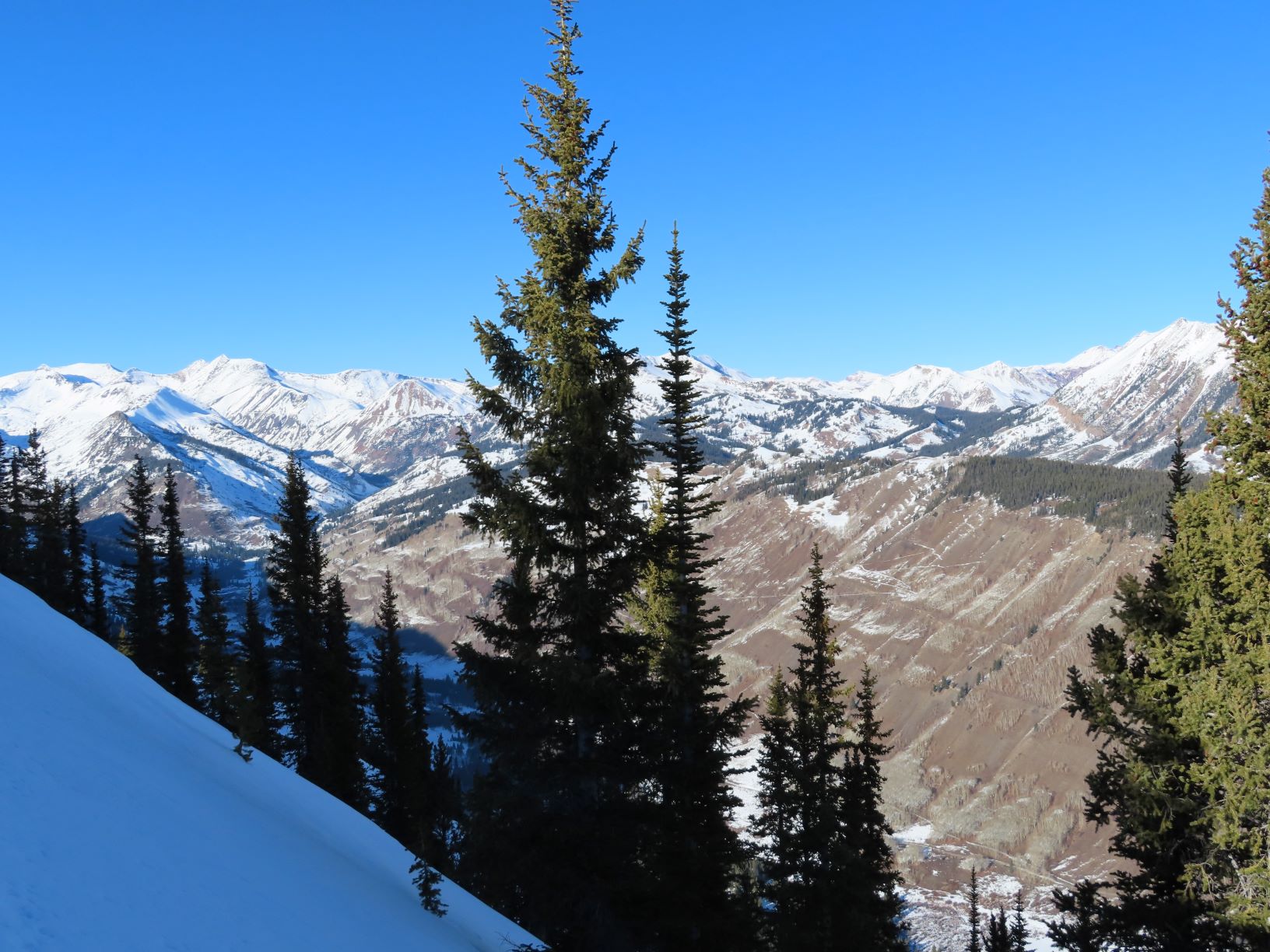
Zone: Northwest Mountains
Location: Kebler Area
Date of Observation: 12/06/2020
Name: Cam Smith
Subject: Kebler Area
Aspect: North, North East, East, South
Elevation: 10 – 12k
Avalanches:
Small broken cornice in the entrance to a south facing gully. A few spots where surface facets had rolled down but really nothing to shake a pole at.
Weather: Calm, sunny, but didn’t feel nuclear hot this morning up high.
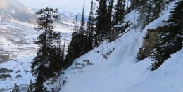
Snowpack: Skied one narrow NE facing chute that was obviously cross loaded but the surface snow was not cohesive. Top inch or two would stuff off. Just as one might expect with very weak facets on top, total trap door at the bottom, and soft snow between. An adjacent wider N facing chute actually seemed more scoured. The top few hundred feet felt more like a supportable solid wind crust before turning into more the mixed bag we’re all seeing.
Melt freeze crust on a steep high southerly was solid to the ground. All the joys of spring skiing, just with 1-4” of snow.. if you’re into that kind of thing..