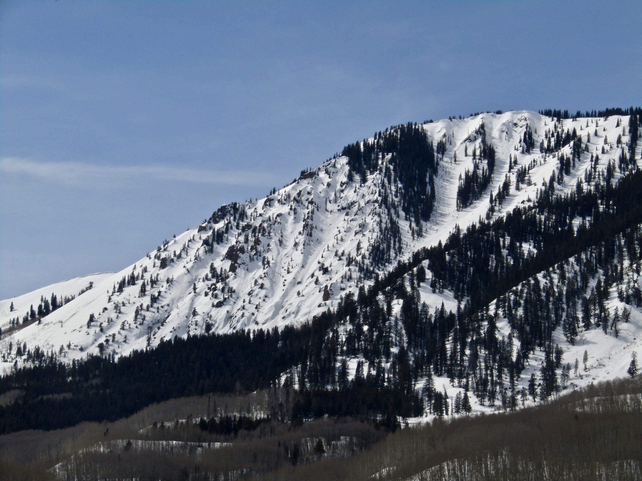
Location: Paradise Divide Area
Date of Observation: 03/09/2020
Name: Zack Kinler & Evan Ross
Subject: Small Avalanches And Great Snow
Aspect: North, North East, South, South West
Elevation: 9,000-12,000
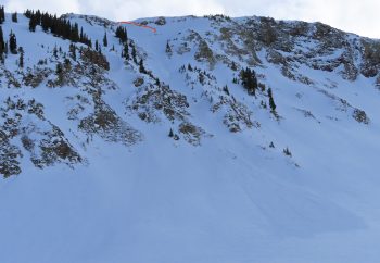
Avalanches: A couple fresh Loose Wet avalanches that were small in size on southerly facing terrain at 10,000ft. Skier triggered several small and thin Wind Slabs at upper elevation northerly facing slopes near ridge lines.
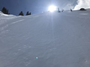
Weather: Light winds, mostly cloudy, with some nice windows of sun to improve visibility and heat the snow surface on sunny slopes.
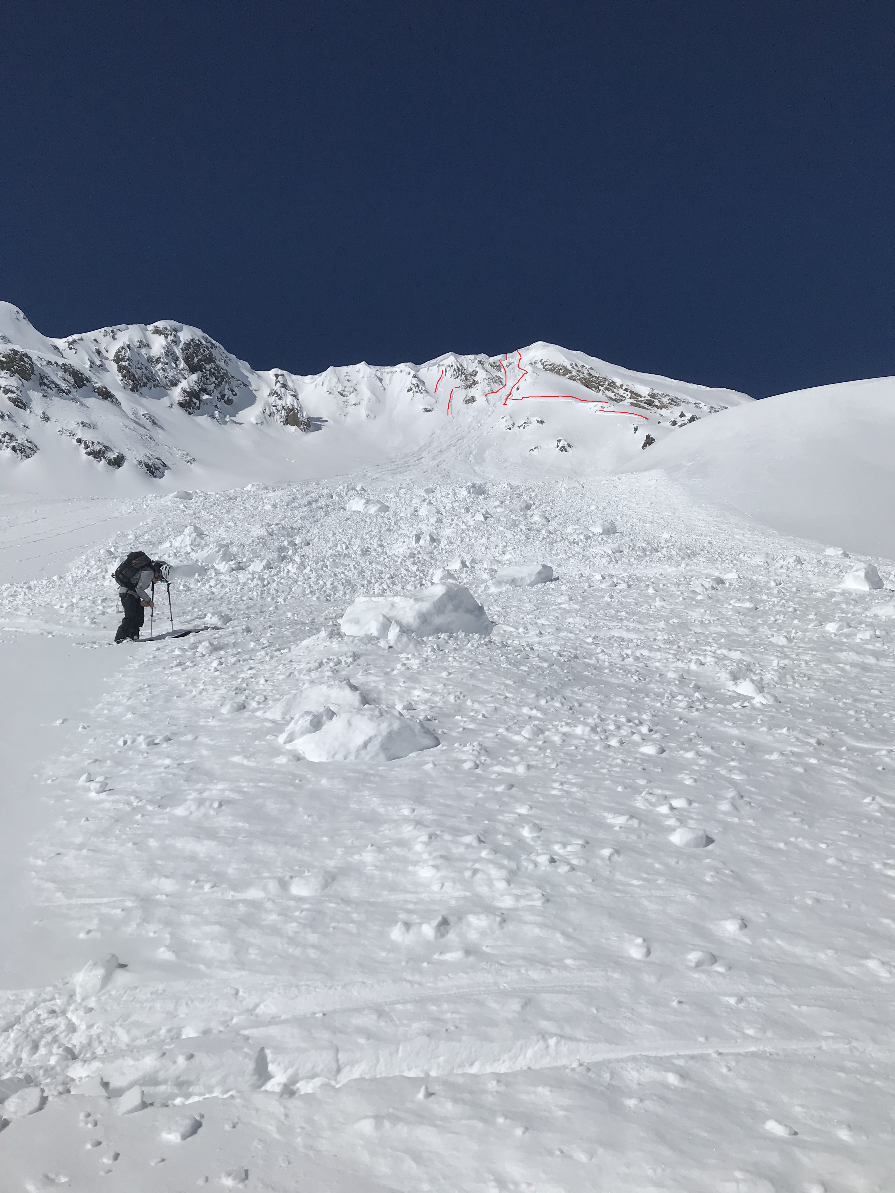
Snowpack: Northerly terrain offered up excellent riding conditions with only some small avalanche problems on wind-loaded terrain. Recent storm totals were 5″ at 10,500ft. In general that new snow was bonding well with old snow surfaces and no avalanche concerns were found at mid and lower elevations. Nearing ridgeline in the 11,500-12,000ft range, grapple and storm instabilities were found in the recent snow. Interestingly, some skier triggered crowns propagated fairly wide and were only 2″ thick. Right near ridgeline were there was just a little extra wind-loading some crowns neared 6″. All and all this avalanche problem was small and easy to manage. In 40+ degree terrain near ridgeline, triggering was easy and would clean out the hazard. On upper 30-degree slopes near ridgeline, these slabs were slow-moving and easy to ski through our out of if triggered. This avalanche problem could grow slightly in size with the little forecasted snow, but at the same time, I’d expect that same interface to become more stubborn to trigger.
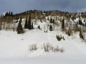
In the late afternoon, low elevation southerly slopes were again wet and punchy. If you encountered that same snowpack on steep terrain, a small loose snow avalanche could gouge deeper into the snowpack and accumulate mass.
-
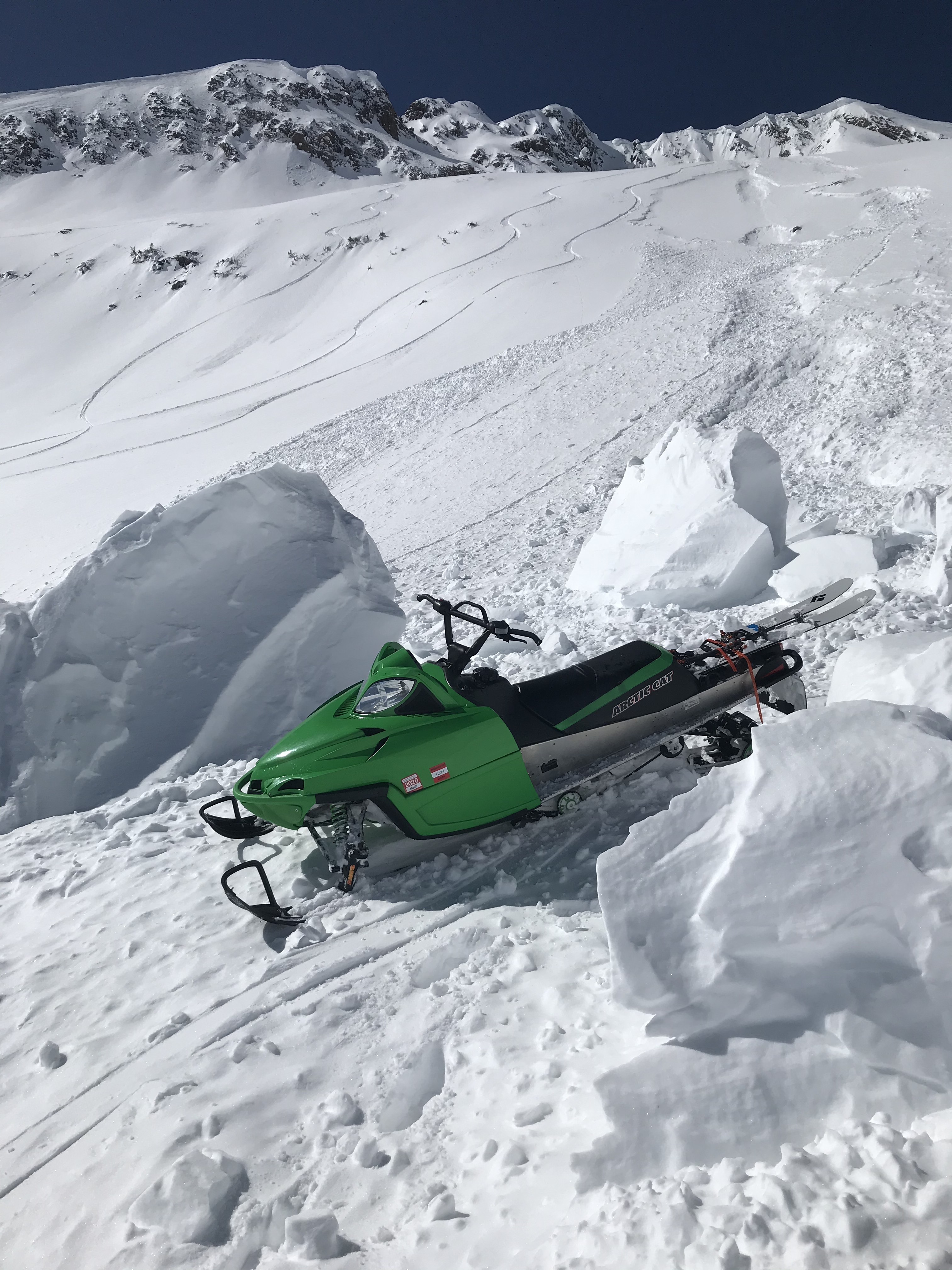
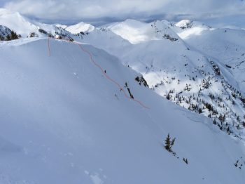
- Crown up to 6″ near ridgeline

-
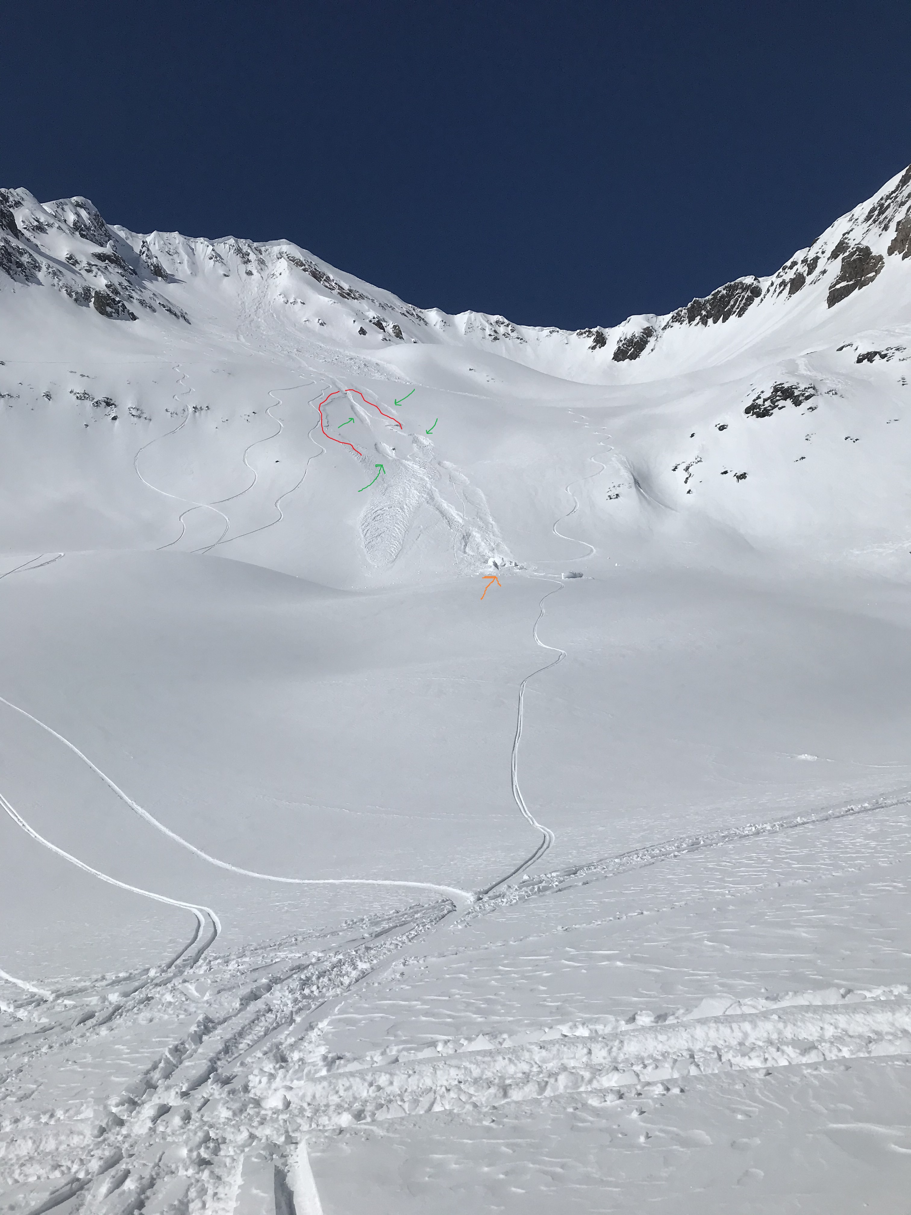
- Fairly wide propagating 2″ crown

-
- Small skier triggered Wind Slabs. 3/9

-
- Small skier triggered Wind Slab

-
- Thin and small skier triggered Wind Slab accumulating some mass in bigger terrain.

-
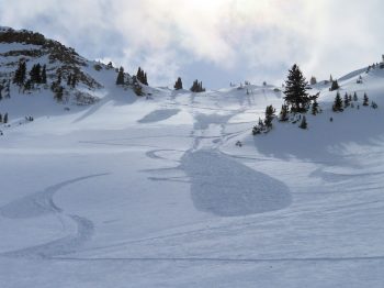
- Example of fresh loose wet avalanche on southerly facing slopes near 10,000ft.

-
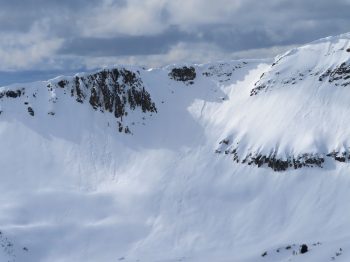
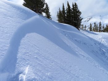
- On old cornice avalanche on an easterly facing slope at near 12,000ft.