Location: Crested Butte Area
Date of Observation: 04/04/2020
Name: Zach Kinler
Aspect: North, North East, East, South East, South, West, North West
Elevation: 9,000′-11,400′
Avalanches:
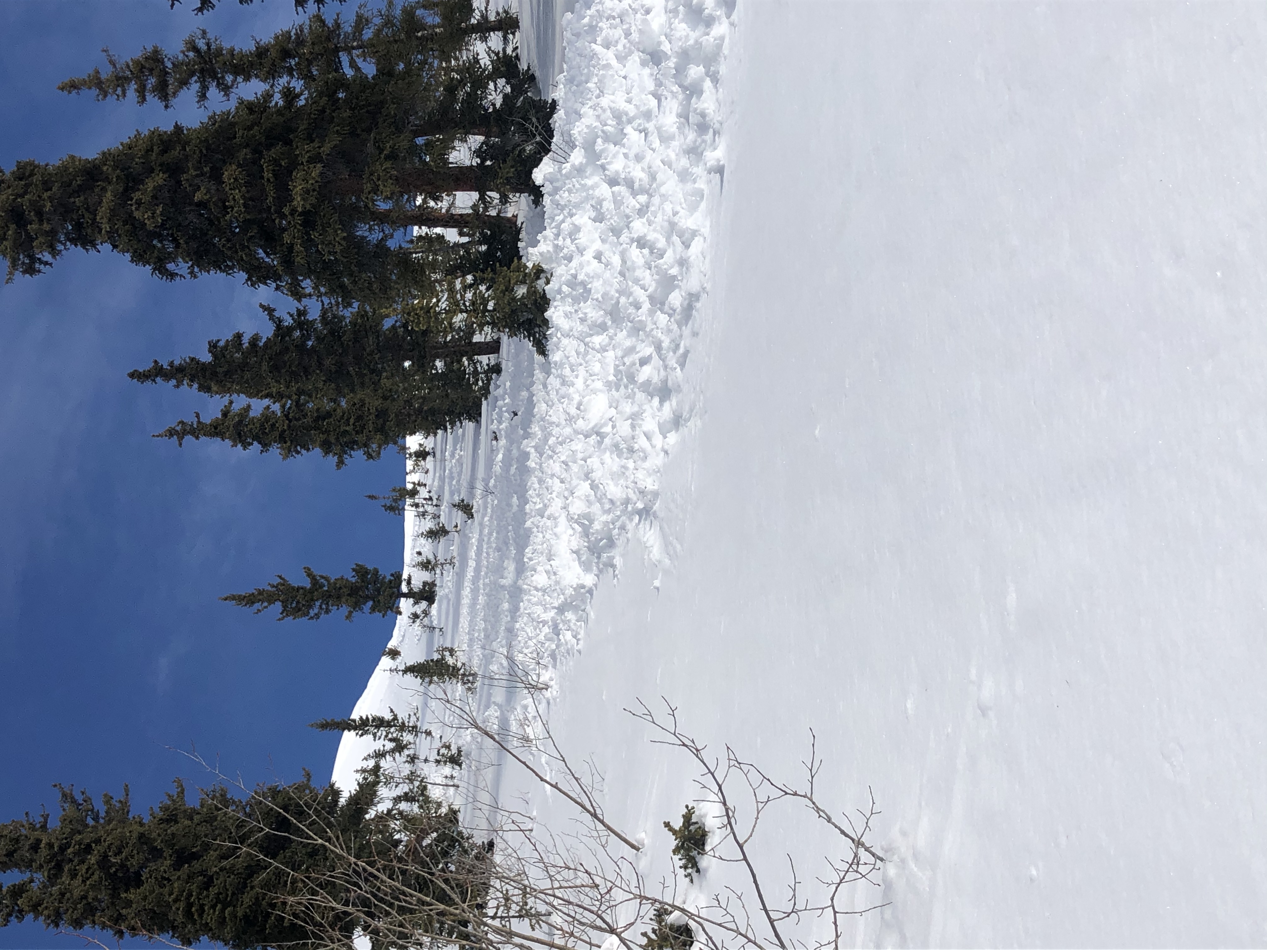
1x Wet Loose D1 E 10,000′
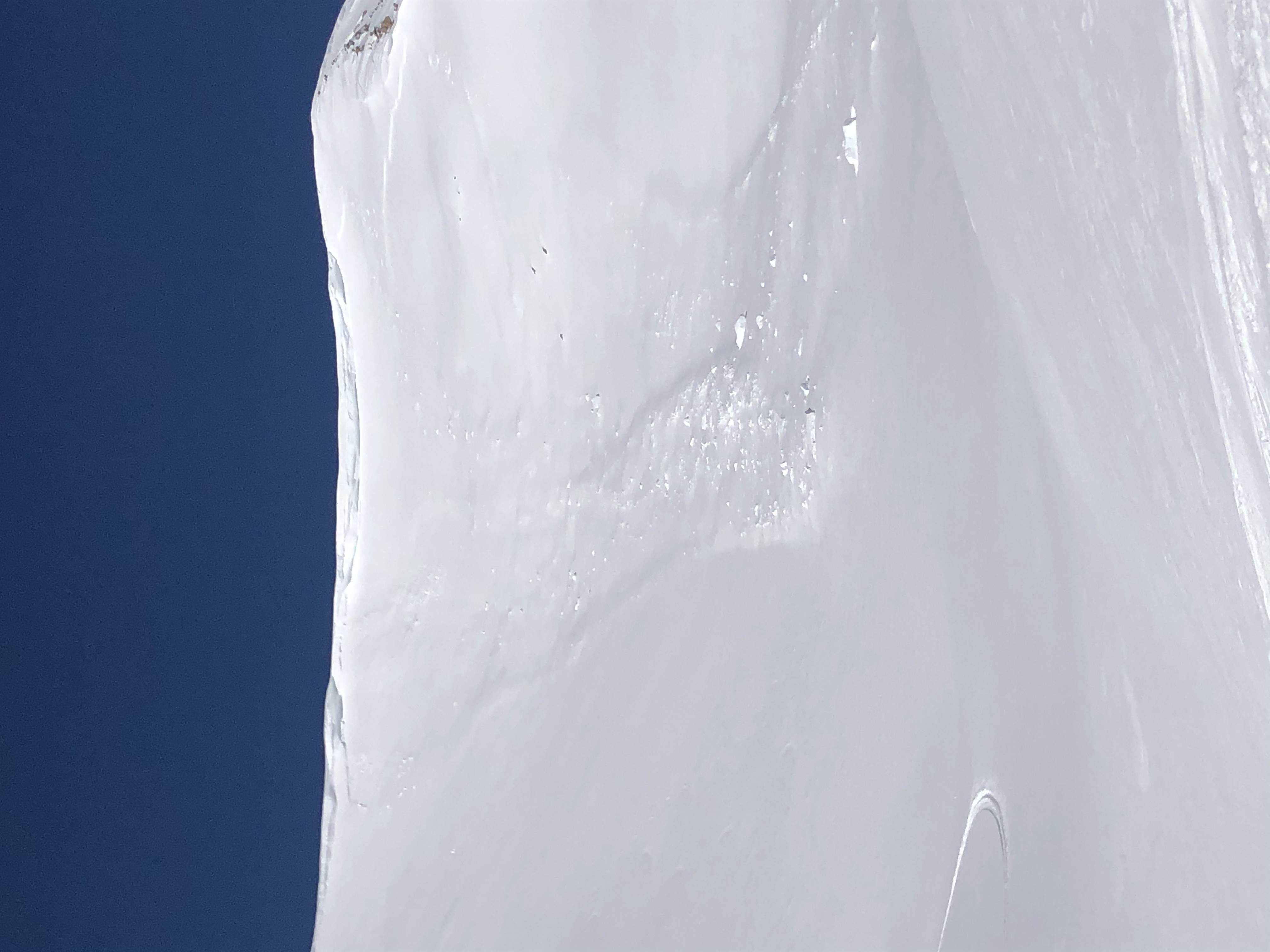
3x Wet Loose D1.5 ENE 10,400′
Weather: Clouds remained prominent with the sun breaking through for short periods until about 16:00 when widespread clearing occurred. Those short periods of sun before clearing did not pass unnoticed however and quickly changed the surface snow. At 14:15, elevation 11,400′ air temp rose to 3.5C(38F). Winds were light and variable, increasing mid-afternoon and blowing down valley with a northerly component near and below tree line.
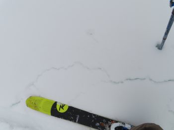
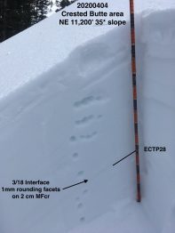
Snowpack: Slopes on the southerly half of the compass near and below treeline became moist to wet with previous crusts breaking down below tree line. Near tree line, recent 1-3″ of snow was wet with underlying crusts moist but staying supportive leaving Wet Loose avalanche concerns small in size. NW-N-NE slopes became moist on all elevations traveled. Above 11K this moist snow was limited to the upper 5 cm with no Wet Loose avalanche concerns. Below 11K, snow was moist to previous crust which remained dry with no Wet Loose avalanche concerns. Targeted the 3/18 crust/facet combo on a NE aspect at 11,200′ where hard propagating results were observed as this interface remains unlikely to trigger but not totally forgotten.
-
- Crusts on southerlies began to break down around mid-day

-
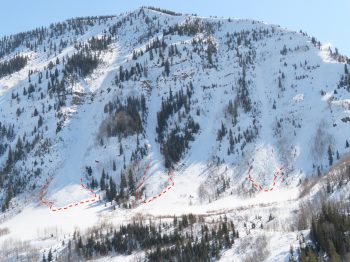
- Wet Loose avalanche activity on steep ENE slopes

-
- 3/18 crust/facet combo stubborn and isolated

-
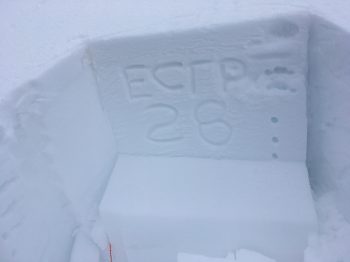
- Ob wall