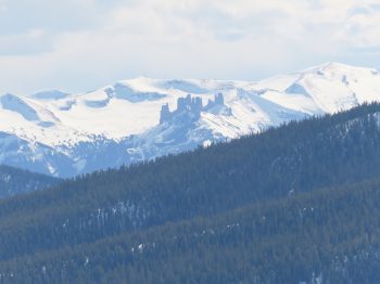
Location: Kebler Pass Area
Date of Observation: 04/10/2020
Subject: Red Lady; Wet Slabs and Snowmobiles
Aspect: South East, South
Elevation: 12,000
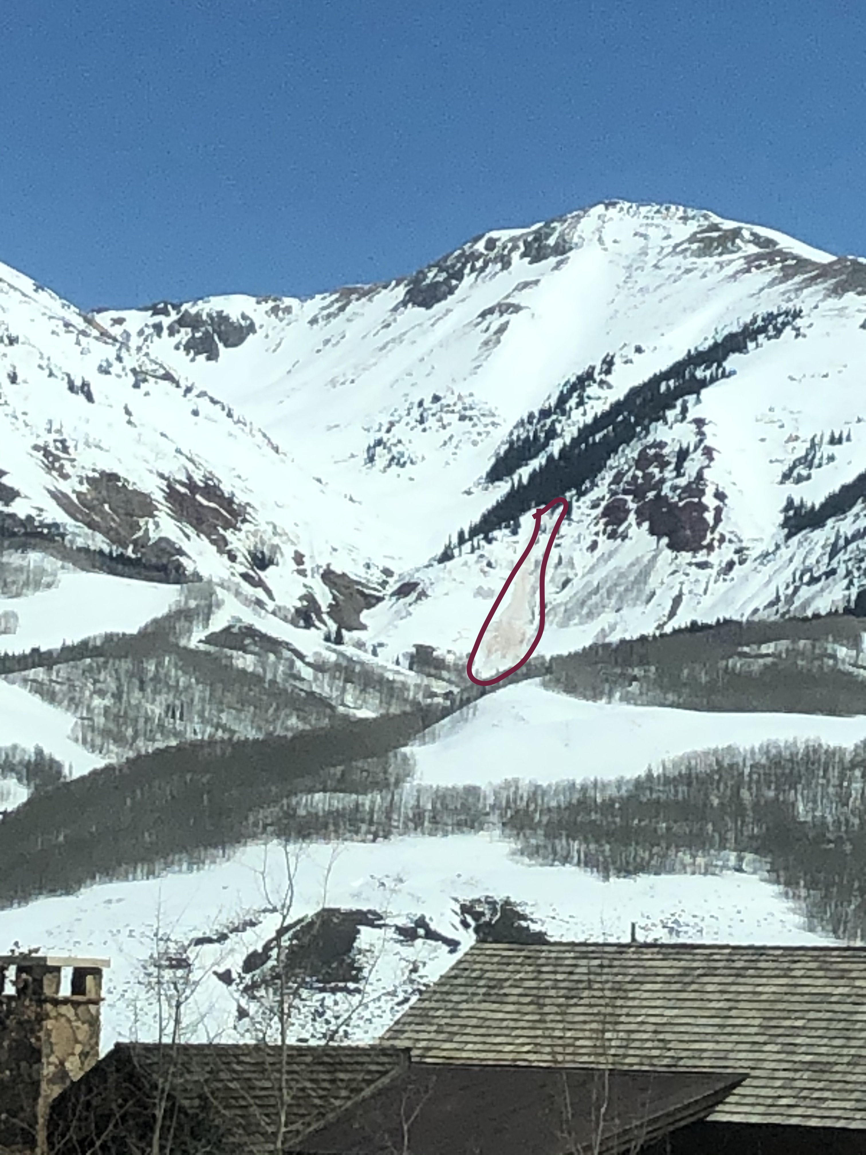
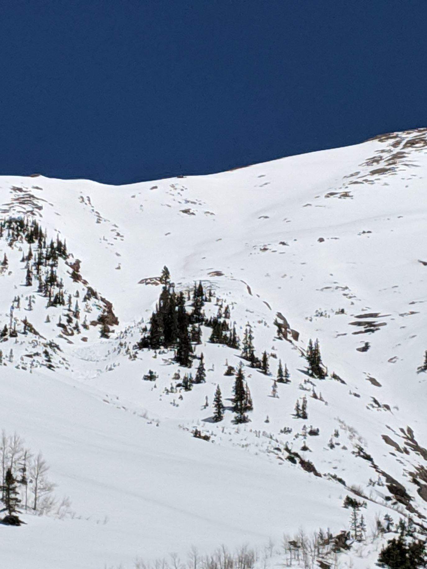
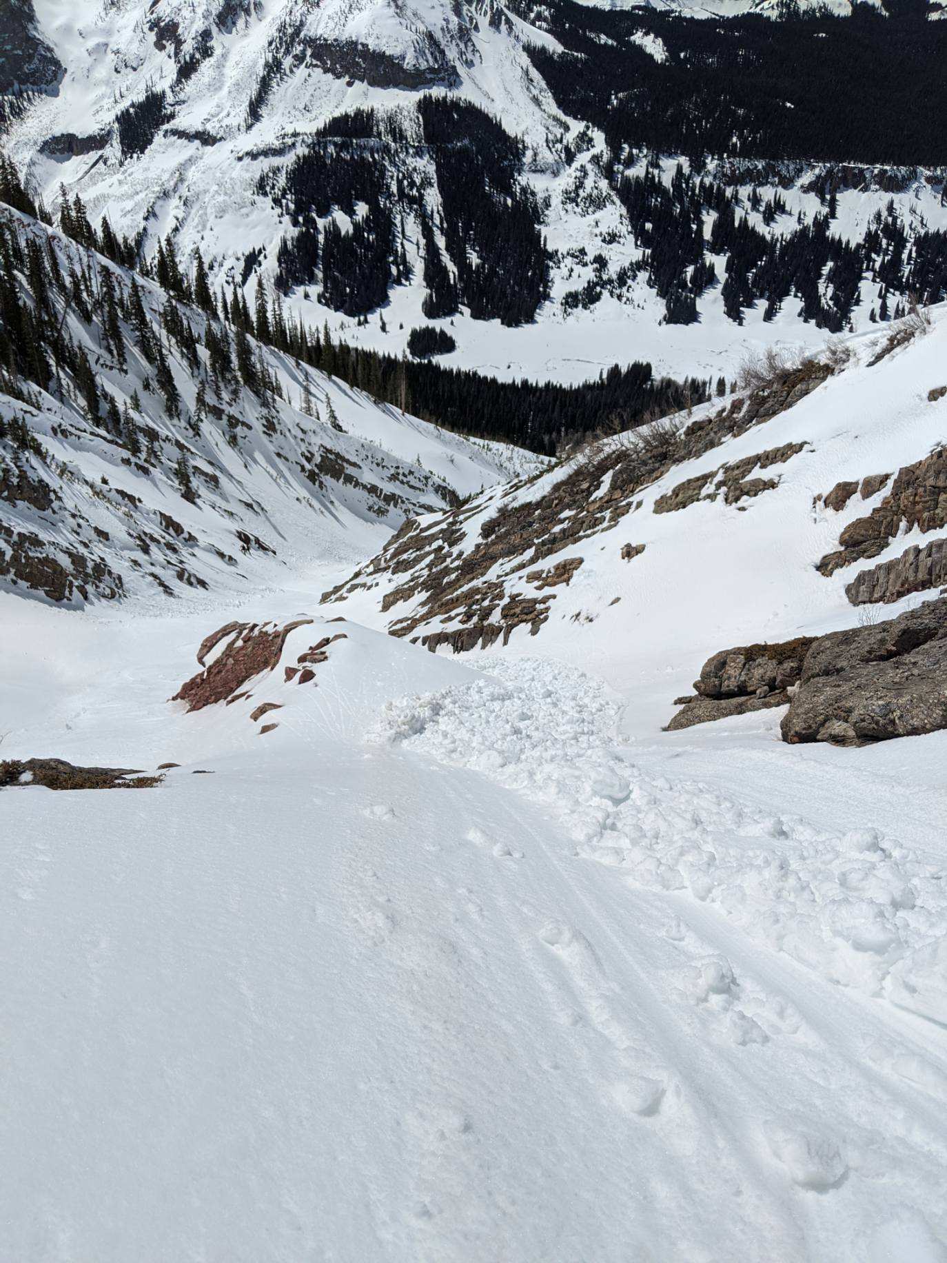
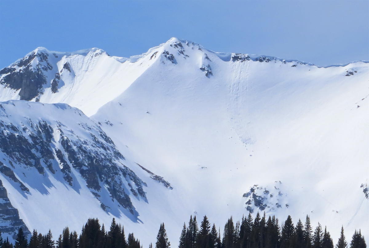
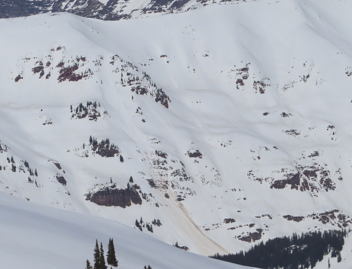
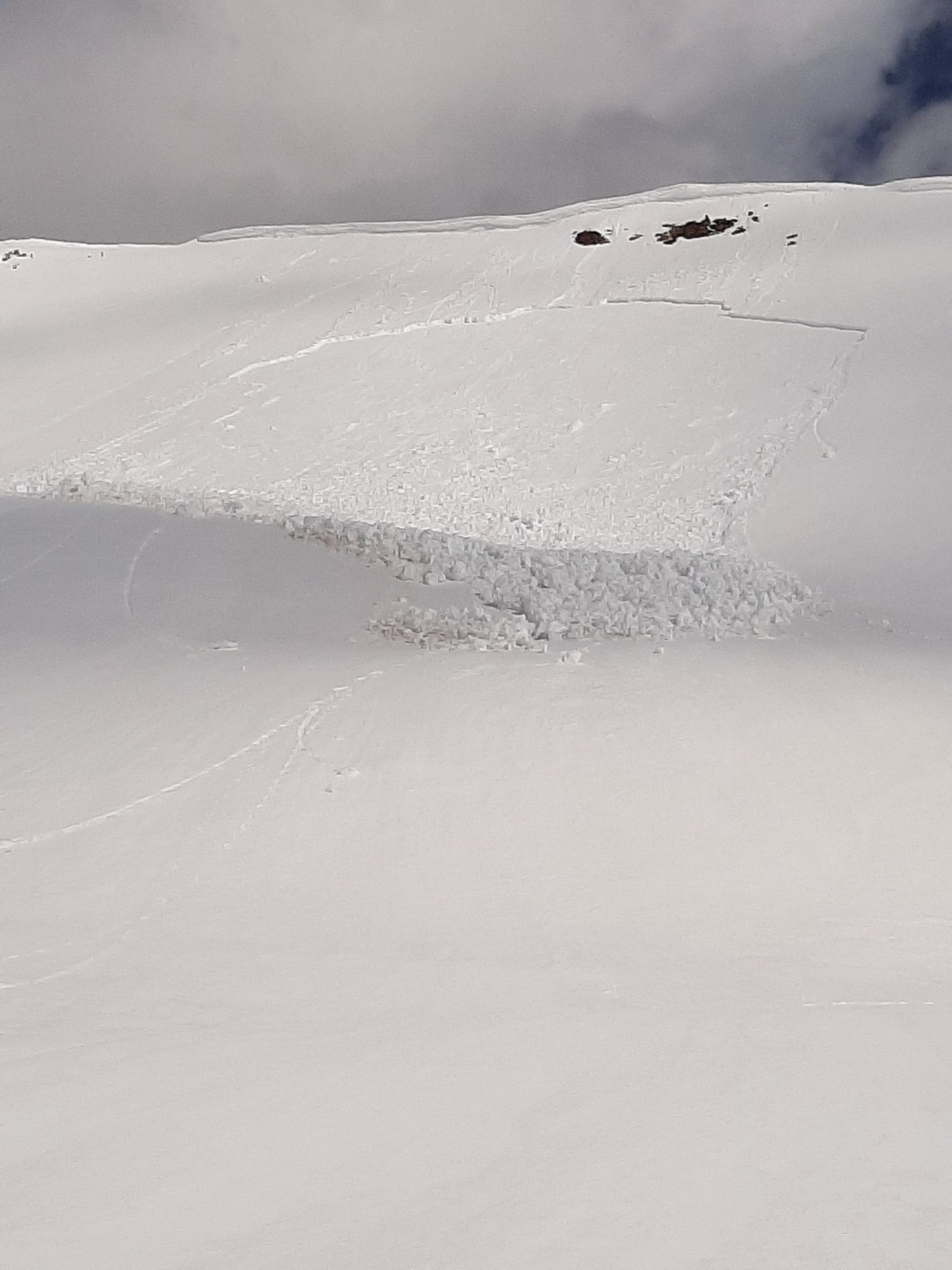
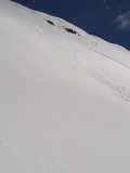
Avalanches: D1 wet slab at the saddle between Coon and Wolverine. Looks like it failed late in the day yesterday. A few small pieces of the cornice triggered a loose wet that stepped down. Maybe warming around the rock band had water running along bed surface. Crown is 25-30 cm.
Weather: Intermittant clouds and sun with little to no wind. Temperature in the 30s, but felt like 50. T-shirt and no gloves at 9:30.
Snowpack: Solid overnight freeze despite mild temps. Surface warming quickly; especially the dirtier portions of the snow surface.
Photos:
-
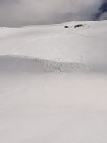
- Wet Slab between Coon and Red Lady saddle
-
- Wet Slab between Coon/Red Lady saddle