Location: Brush Creek Area, Cement Creek Area
Date of Observation: 02/03/2016
Name: Zach Guy
Date of Observation: 02/03/2016
Name: Zach Guy
Subject: Crowns on Whiterock and Cement Mountain
Aspect: South West, West, North West
Elevation: Above treeline
Aspect: South West, West, North West
Elevation: Above treeline
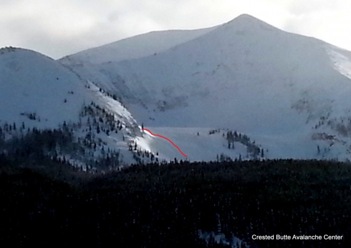
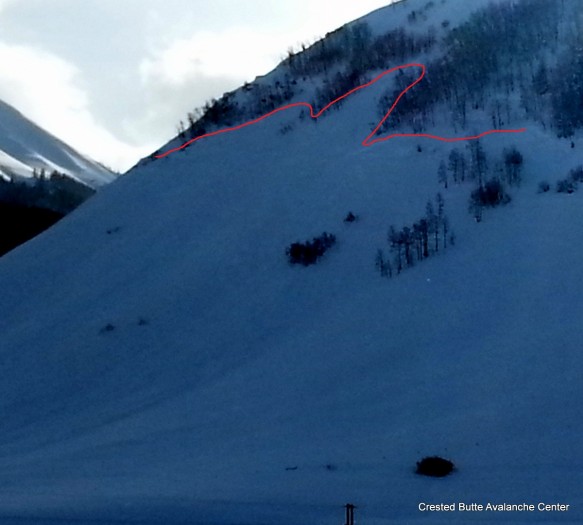
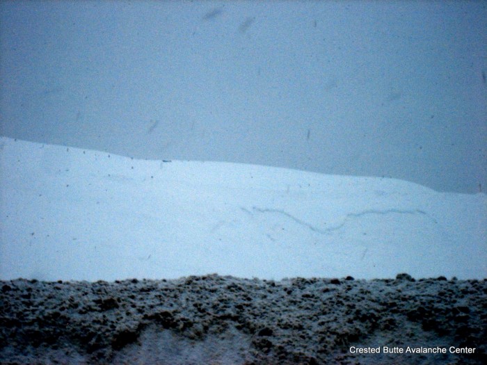
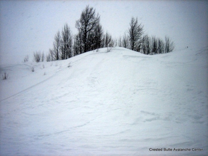
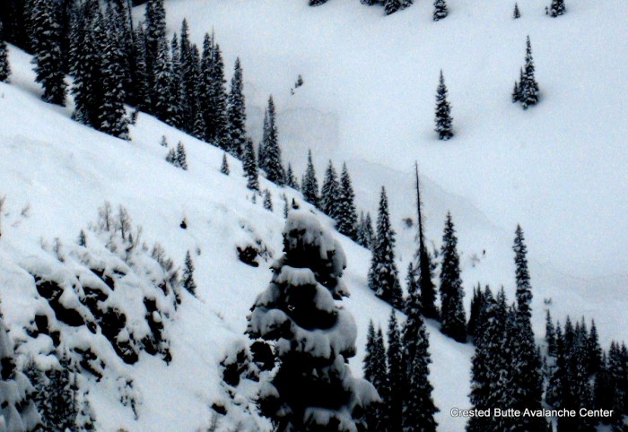
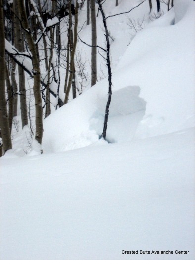
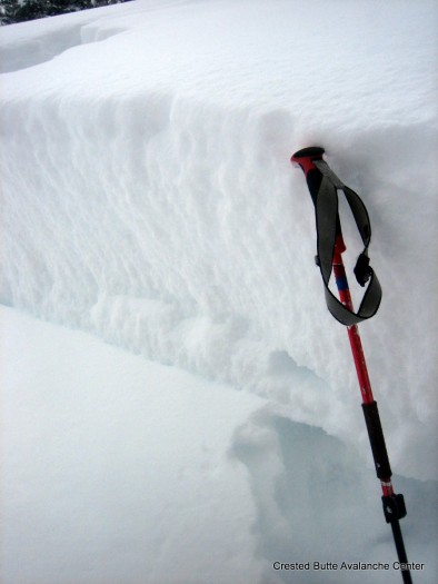
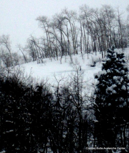
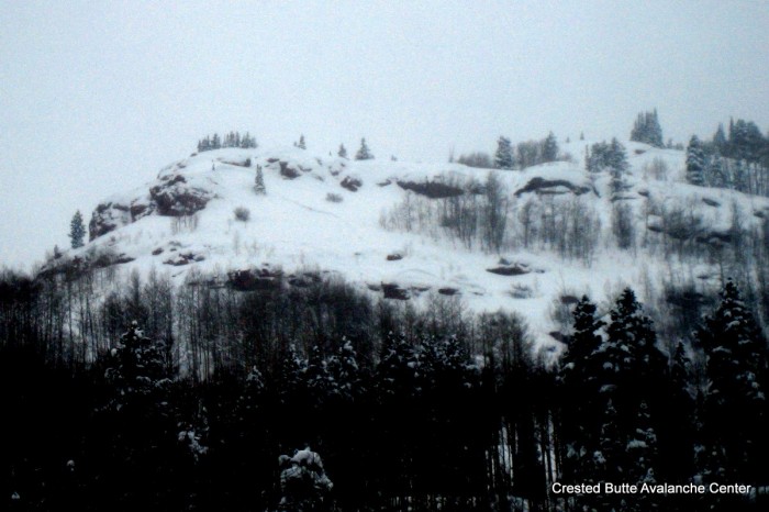
Avalanches: Got views this evening of 6 slab avalanches on NW, W, and SW aspects above treeline on Whiterock and Cement Mountain. D2’s to D2.5’s. Presumably failed 2/1. Two of them had impressively wide propagation, estimated 1,500 feet wide. These windward paths are infrequent flyers of this size.
Weather:
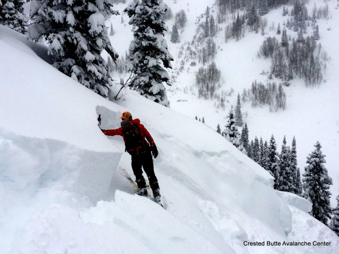
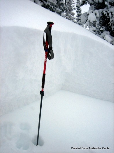
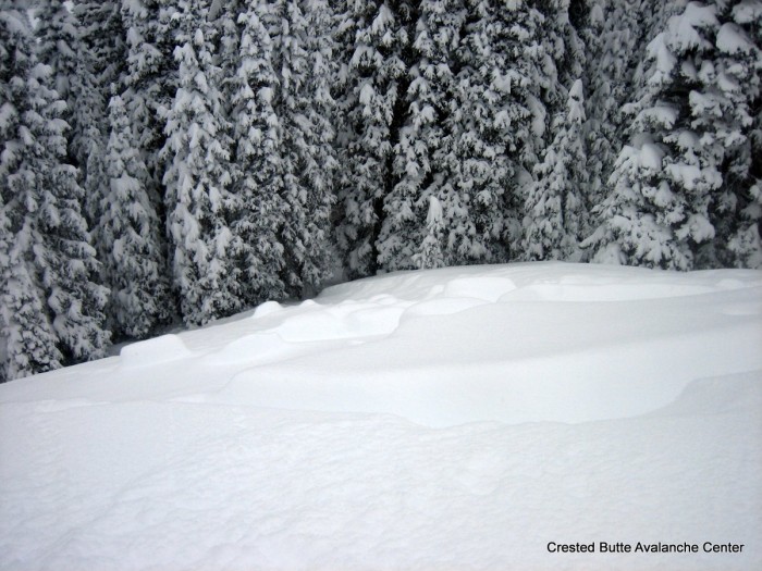
Snowpack: Lots of action on typically windward slopes above treeline. These slopes probably had a very shallow and weak structure, some with thin crusts, prior to this storm. The lack of windscouring accompanying this significant snowfall event looks to have built dangerous persistent slab structures on these aspects now.
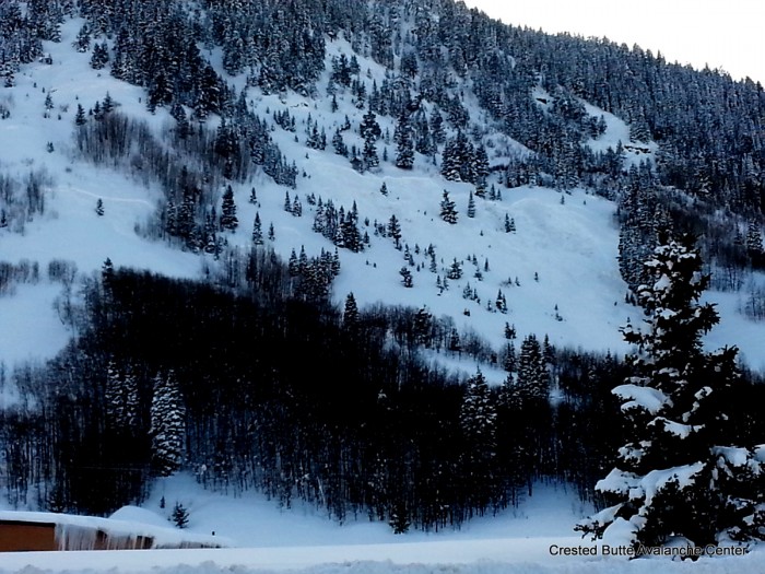
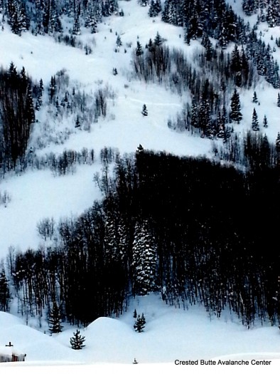
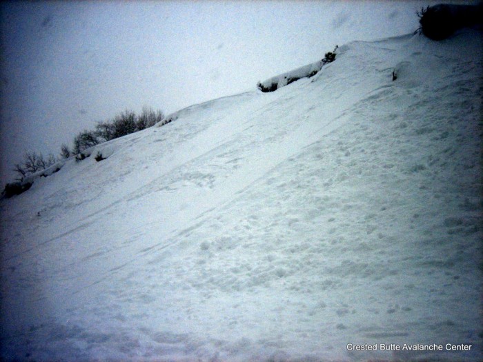
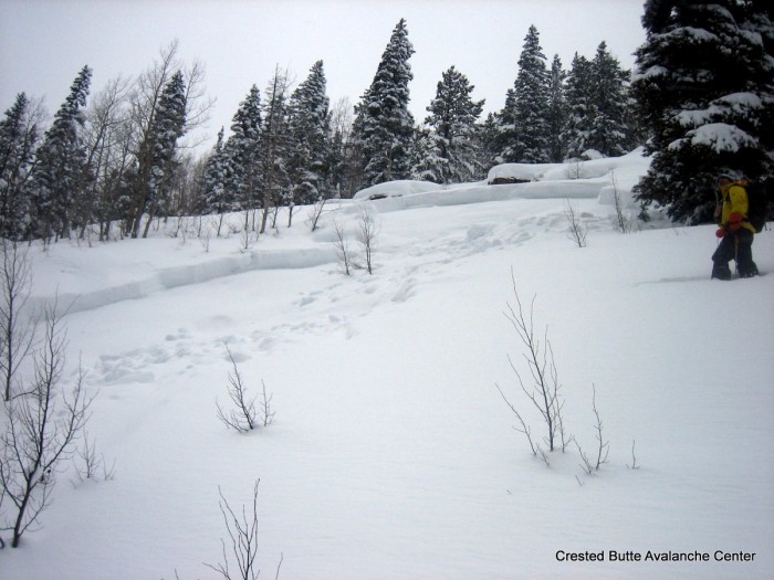
 D2’s above Deer Creek Trail, Whiterock Mtn Massif. NW and W aspects ATL.
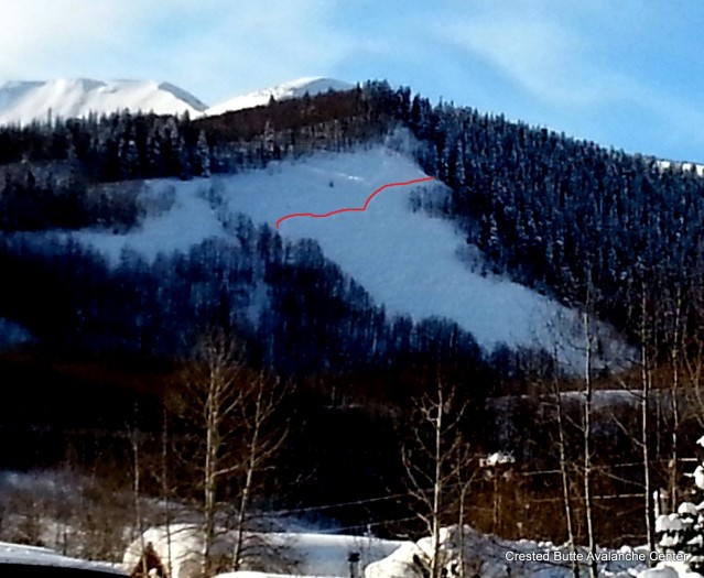
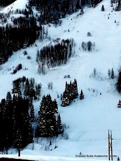
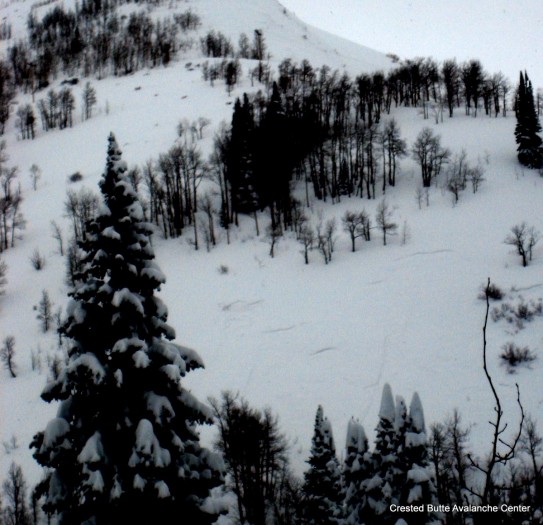
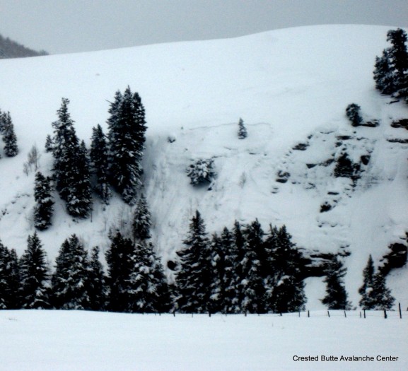
  Whiterock Mtn. D2.5 on W to SW aspect ATL