The snow and wind peaked early this morning, and we will see high pressure begin to push the back end of this storm out of the area by mid morning. Light orographic snowfall may hang on across the highest terrain near Crested Butte, but by this afternoon, we will see clearing skies and temperatures plummet. Thursday will be mostly sunny, before another large and prolonged storm (though even warmer than this storm with rain at lower elevations), looks dead set on the Elk Mountains starting Friday and lasting through much of the weekend.
Today
High Temperature: 35 Wind Speed: 20-30 G50 Wind Direction: W Sky Cover: Decreasing clouds Snow: 1-3″
Location: Kebler Pass Area Date of Observation: 02/07/2017 Name: Irwin Guides
Subject: Irwin Tenure Aspect: East, South East, South, South West, West Elevation: 10,000-12,000
Avalanches: Numerous D1-1.5 windslabs breaking at skis on aggressive ski cuts and shooting cracks up to 30′ across or downslope. No unusual persistent slab behavior observed. Windslabs found on lee and crossloaded terrain features from strong SW winds. Weather: 8″ storm snow this morning, accumulated to 11″ storm snow. Snowfall rates ranged between 1-2″/hr at times. Winds increased and intensified throughout the day with gusts easily into the 60s at ridgetop. Temperatures rose gradually throughout the day to 27º at study plot (10k) and rose to 21ºF at ridge (12k). Snowpack: 5″ .5swe during day making storm total 11″ 1.1″swe of heavy dense snow which fell on 2″ of lighter, stellars yesterday. SW winds blowing steady 30-40mph with stronger gusts and creating 2-4′ drifts. Windslabs failing just above widespread suncrusts and windboard. Will continue to monitor new snow and accumulation and development of more widespread storm slabs overnight.
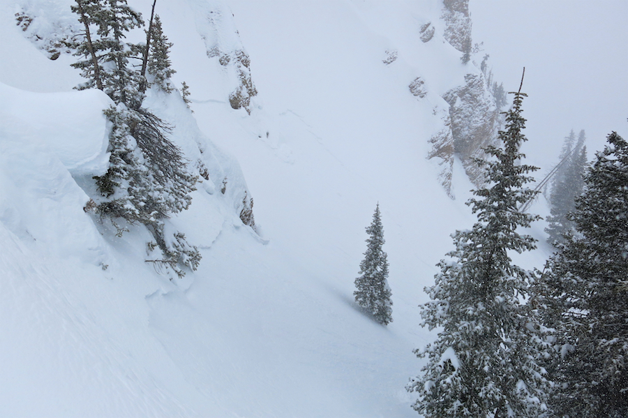
Location: Kebler Pass Area Date of Observation: 02/07/2017 Name: Evan Ross, Alex Bannas
Subject: Shallow storm slabs Aspect: North, North East Elevation: 10,000-11,400
Avalanches: Touchy storm slabs. Some incredibly small roller balls/sluffs would fracture slopes within the storm snow. Some of these fractures would propagate through the terrain and pop shallow storm slabs on steeper slopes. Most triggered storm slabs where D1.5’s. where the terrain was larger with more relief, these slabs would accumulate more snow and become D2’s.
Several of these crowns where far enough below ridgelines that the problem wasn’t specific to wind loading.
Lots of natural small sluffing in steep terrain. Watched at least one of these step down into a wider storm slab. Weather: Obscured sky. Warm near freezing temps. S2 snowfall through the day. Winds light to moderate out of the south as the wrapped around the big massif of East Beckwith. Snowpack: About 30cm of new snow on the old snow interface in the mid afternoon. New snow was graupely and somewhat dense fist to fist+ snow. Storm slabs were failing in the upper 10 to 15cm of new snow with a bit of a density change of F+ over F snow. Old snow surface didn’t appear to be particularly concerning. Not much for NFS at this new/old interface. Start zones in this area had about 260cm of snow and had seen previous avalanching. Measured one area that hadn’t previously avalanched at 370cm. Also on this deeper slope, no CT result below the old snow interface in a 130cm deep pit. While setting up a DT test, found the 1/19 SH down 100cm, sandwiched between 1f+ hard snow.
Ski cuts produced shooting cracks on slopes under 35 degrees.
IMG_2708
Ski cuts and stomping released shallow storm slabs on slopes over 35 degrees. Some of these storm slabs gouged down to the old snow interface entraining more mass that produced D2 avalanches.
Location: Paradise Divide Area Date of Observation: 02/07/2017 Name: Zach Guy
Subject: Wind slabs and persistent slabs on Schuylkill Ridge Aspect: North East, East, South East, South Elevation: 9,000- 11,100 ft.
Avalanches: Ski cut a small windslab on a crossloaded SE slope NTL. It was about 8-12″ deep, and ran on the melt-freeze crust interface, small in size. SS-ASc-R1-D1-I. See photos. Weather: Surprisingly calm winds, but evidence of previous wind transport from the SW at ridgeline. S-1 to S1, snow in the morning and graupel in the afternoon. About 5 cm accumulated from 12 p.m. to 4 pm. Overcast skies and relatively warm temperatures. Snowpack: Storm total below treeline was 25 cm by the end of the day. No signs of storm slab instabilities below treeline on sunny or shady aspects, but as we approached treeline, slabs became denser and more wind affected, with drifts up to 35cm thick. Minor cracking on NE aspects, where the storm snow was on hard wind board, and moderate cracking on SE aspects, where the storm snow was on a stack of melt-freeze crusts (Feb 4 crust was 3-6 cm thick, pencil hard, and Feb 6 crust was 2 cm thick and 4F to 1F hard, with a soft layer between). On a NE aspect BTL, one pit produced moderate, propagating results, 53 cm deep on the 1/19 surface hoar, below a 4F+ slab. (ECTP16, SC). No signs of instability observed on this layer.
First you bedazzled us with your shimmering feathers, glistening under the cloud layers that brought our unusual surface hoar event back in mid-January. You are fragile and don’t belong in Colorado’s windy and sunny environment. We thought to ourselves, “You’re a long shot, surely you won’t survive.” But somehow you did. Things started to go downhill on January 19th, when you got buried beneath a storm that came without wind, against the odds.
Unusual cloud layers and unusually widespread surface hoar layer in mid January. Photo courtesy of MSF Films
Then more snow came, and it formed a soft slab above you, and your behavior started getting erratic through the last week of January. We saw lots of natural avalanches, we saw avalanches breaking in dense aspen groves and on low angle slopes, and we saw slides remotely triggered from flat terrain.
Video demonstrating the touchy and unusual avalanche behavior in late January.
It has been 2 weeks since the last storm, and we have heard about slides triggered on you almost every single day, either in our zone or our neighboring Aspen zone. There were a number of close calls and partial burials on the Aspen side.
A slide on Mt. Emmons that caught a skier off guard.
Things have started to quiet down this past week, and travelers are starting to let their guard down.But with more snow on the way this week, we can’t trust you and your unruly and dangerous behavior. It will become more sporadic and less predictable.
Video explaining our current snowpack structure on northerly/easterly aspects
I can’t recall the last time we had someone like you as widespread and troublesome in our snowpack. Granted, a lot of things have changed in the past few weeks for the better, and we are thankful for that. A lot of slopes have flushed. Winds have blasted you and their overlying slabs away in places. The sun has capped the snowpack with a stout crust on other slopes. So now you are lurking on fewer slopes, but now the slabs above you will be growing thicker and more dangerous, and you will become more volatile again as more snow and wind prod at you. We will see skiers and snowmobilers recreate on a lot of slopes with no apparent sign of problems from you, and our focus will be on freshly formed but manageable storm instabilities. But then somewhere you will react harshly as you buckle under increasing pressure, or someone pokes your small feathers on the wrong slope, and it will be bad news for everyone involved. We know where you are most likely to be bothered, and that happens to be our favorite riding areas, northerly and easterly aspects near and below treeline. But we can’t know for sure where or when you will strike next. That scares us.
Most of the persistent slab avalanche activity in late January was on surface hoar. Read this observation for some caveats to this diagram.
At the CBAC, we ask that you resign from causing problems in our snowpack, and move back to Canada, where you belong.
Today will be an interesting day to watch play out as a very strong jet stream (140kt) just to our south inches farther north, creating windy conditions near and above treeline, and spurring heavier snowfall. Previous models suggested lower elevations to be fighting the snow/rain line down valley, but that does not look as likely anymore. However, expect heavier, dense snow falling especially near and below treeline. Tonight, snow and winds will peak, before tapering off Wednesday afternoon. Storm accumulations look on track with 1-2 feet possible by Wednesday afternoon. Thursday dry and sunny, before another storm takes aim for Friday and Saturday.
Location: Crested Butte Area Date of Observation: 02/06/2017 Name: K and K Rohrig
Subject: Buried surface hoar- Coney’s Aspect: North East Elevation: 10,800′
Avalanches: Weather: Obscured, sporadic snow with periods of intense snow
Light S winds Snowpack: Top of Convex Corner on Coney’s, just below the ridge line, < 30 degrees
250 cm HS
5-7 cm new snow
CTM x 2 SP, ECTP14, down 50 cm, failed on 3-5 mm surface hoar
We found another non reactive layer that “propagated” the full 90 cm when we pulled our ECT column into the pit. This is a layer of decomposing graupel down 20 cm. No cracking, no whomphing, no other signs of instability.
Location: Crested Butte Area Date of Observation: 02/05/2017 Name: JSJ
Subject: Aspect: South East, South, South West Elevation: 9,100-12,400
Avalanches: Weather: Clear and cold at TH…5F @ 8am. Light winds from the NNW w/ Mod gusts at ridge top. Strong solar Snowpack: No sings of instability. Large Surface Hoar growth found all the way to Mt. Emmons summit at 12,400’ where protected from wind. Strong solar today warming wind sheltered snow surfaces by 1200. Yesterday’s 10-15cms HST bonded well to underlying windboard and suncrusts.
Game On! Its coming back folks, we’ve got a large winter storm rolling in to start this week off right. This incoming storm look to keep this winter’s warm and wet trend going. We’ll see snow showers begin this morning with some discrepancy on today’s snow numbers between different models. The amount of lift and warm temperatures are leaving a bit of a spread in the forecasted numbers for today. Both winds aloft and moisture increase Monday night into Tuesday when the main event looks to take place. Winds will be from the west during this Monday night into Tuesday timeframe, favoring the western portion of the forecast area. Winds become northwesterly on Wednesday as snow showers taper and a ridge builds for a break in the weather heading into Thursday.
Today
High Temperature: 27 Wind Speed: 15-25 G40 Wind Direction: SW, W Sky Cover: Overcast Snow: 2 to 6
Location: Cement Creek Area Date of Observation: 02/05/2017 Name: ADB
Subject: Here we go again Aspect: North, North East Elevation: BTL
Avalanches: None. Just some rollers off skin tracks. Weather: Blue bird: calm and clear even on ridgetop Snowpack: Fields of surface hoar forming in lodgepole up to ridgeline. About 1cm in height.
On portions of skin track punched down to last layer of buried surface hoar. Ski pen: 18 inches.


 S
S
 C
C E
E

