Location: Paradise Divide Area
Date of Observation: 12/23/2018
Name: Evan Ross
Subject: The New and Still Developing Persistent Slab. Santas Persistent Slab
Aspect: East, South, West
Elevation: Mostly BTL/NTL 9,500-11,800
Avalanches:
One natural D1 on a cross loaded easterly aspect at 9,900ft.
Weather: NTL the winds were just gusting to moderate with some blowing snow at times. In the Alpine it looked like less blowing snow than I would have thought. Definitely stronger winds in the alpine and the drifting snow may have been hard to see with the gray’ish light.
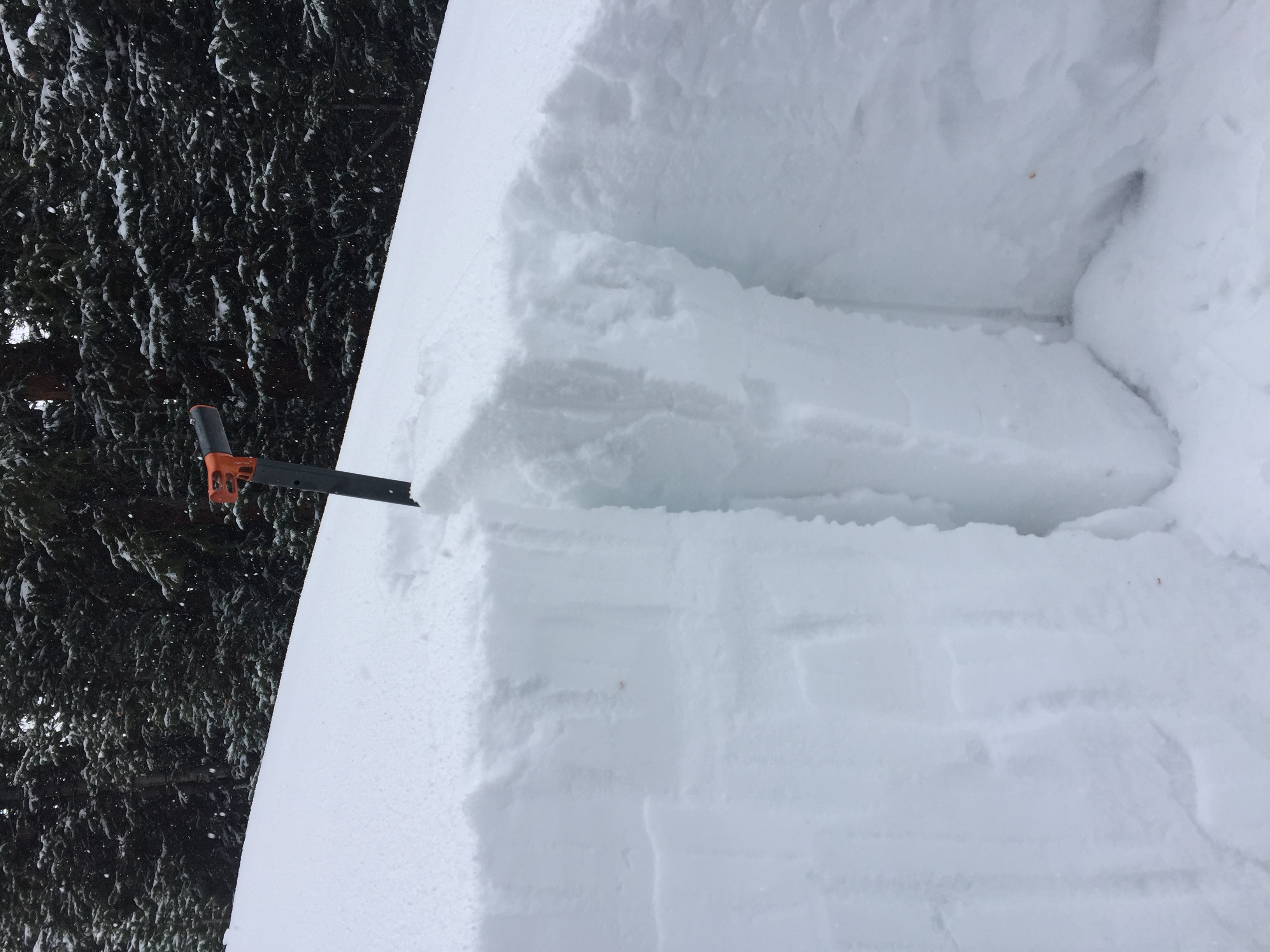
Snowpack: No current signs to instability observed on this particular tour. Cut some good wind-loaded terrain but no results. Never did find wind-loading greater than about 20cm so maybe not the most suspect areas.
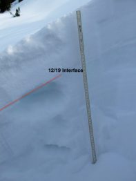
Tracked the new and developing PSa avalanche problem on the 12/19 interface. Santas Persistent Slab. See notes on pictures.
Photos:
-

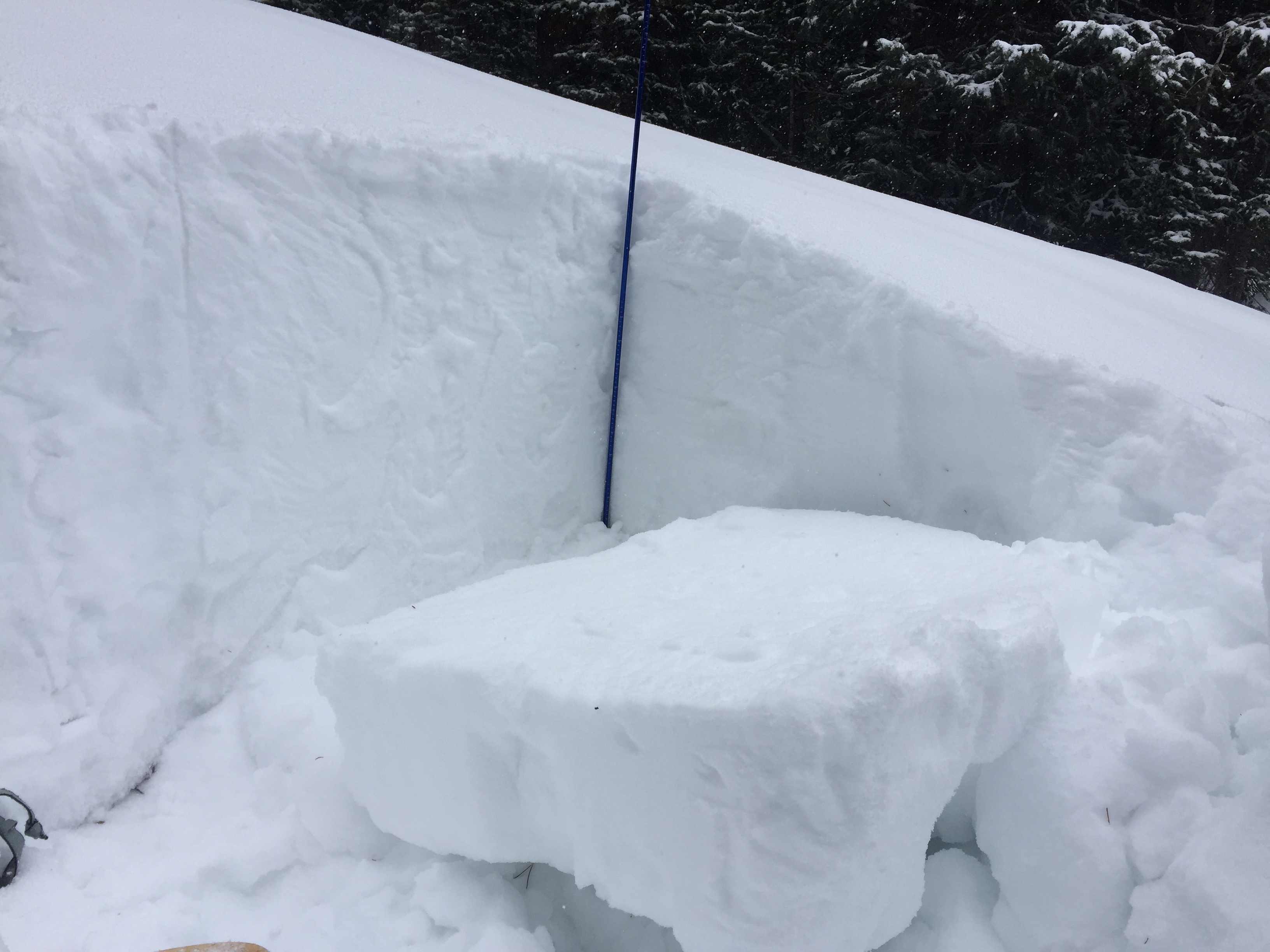
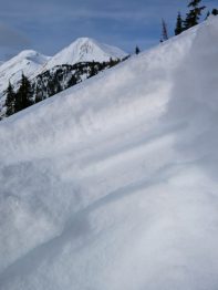
- South Aspect at 11,800ft. Soft 2cm crust at the 12/19 interface with facets below. 33 degree slope

-

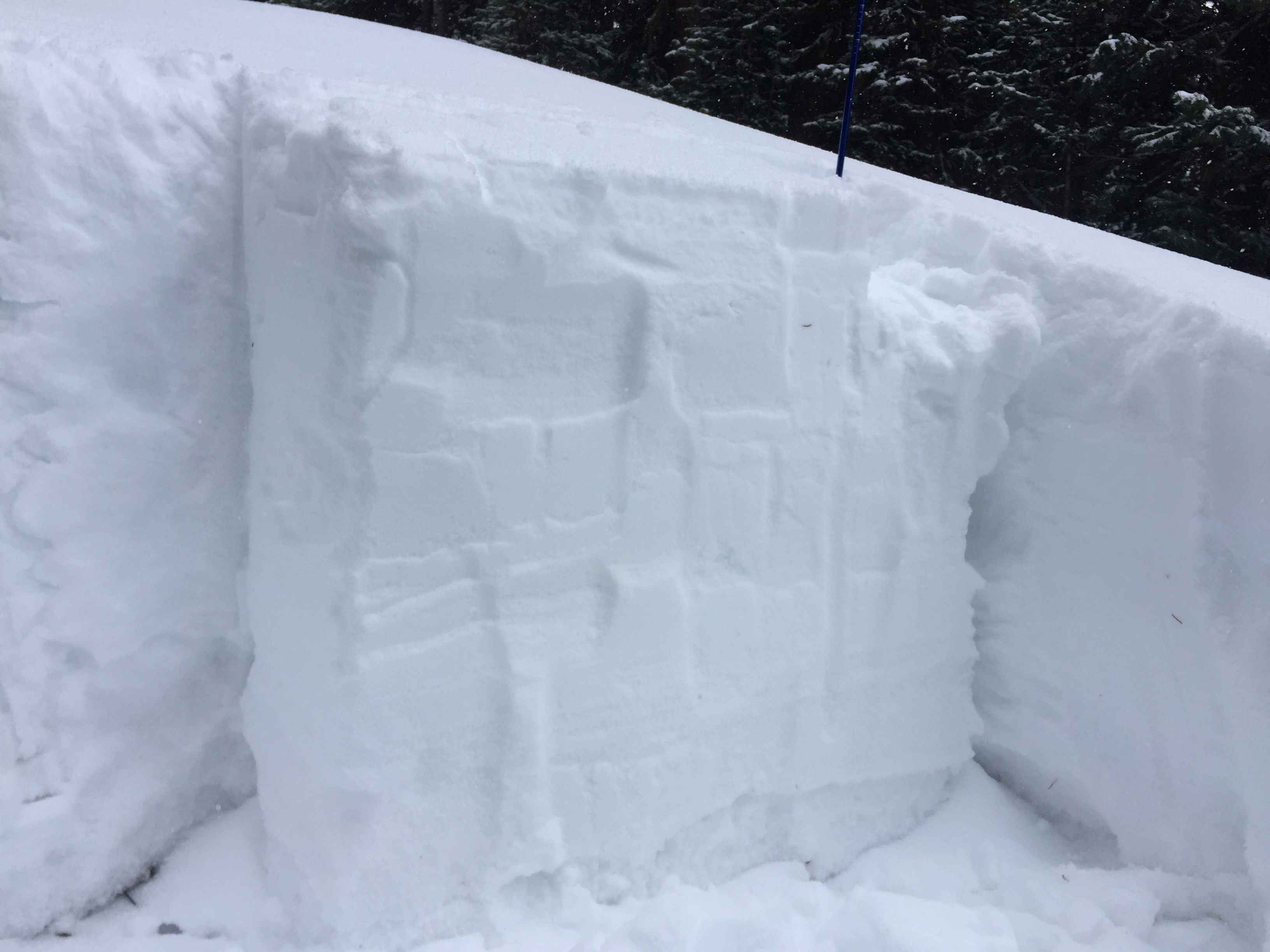
- East 11,550. Ugly 11/19 interface. 1.5-2mm striated NSF grains. Very weak for about 5cm under the interface. The 12/19 interface had a very thin crust capping these NSF.
-
- Hard to see in photo. WSW aspect at 10,750. Basically wafer thin crust over a cardboard thick soft crust. Well developed facets between and below these crusts. About 10cm of new snow onto of the 12/19 interface.

-
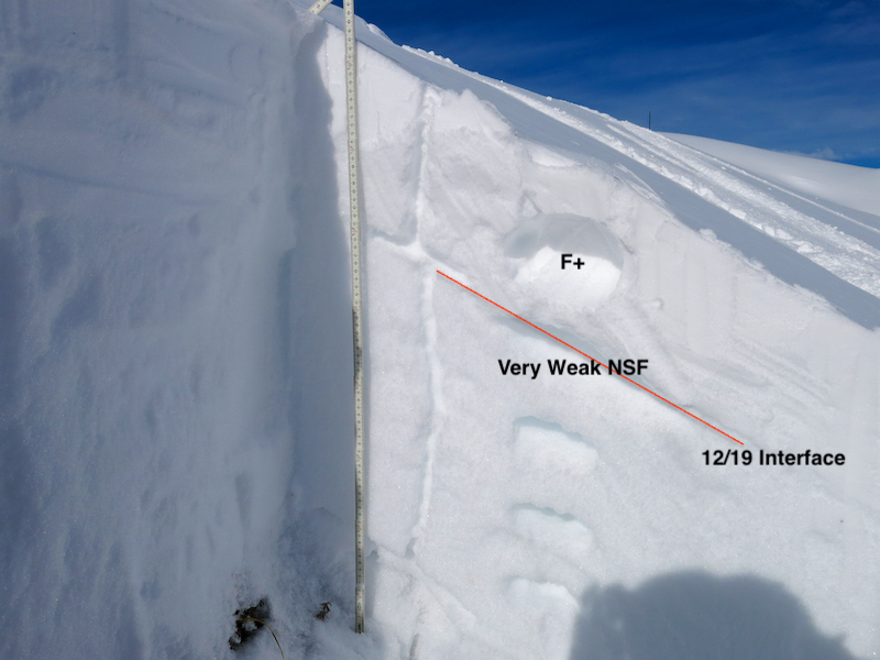
- WNW Aspect 11,200ft. Ugliest 12/19 interface observed today. Looked like some SH had blended in with the NSF. 2mm striated NSF for about 5cm below the interface.

-
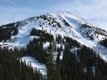
- Overview of westerly aspects. Upper reaches of the NTL elevation ban are being blown off, while slightly lower the new snow over the last few days is being blown in on concave or cross-loaded terrain features.

-
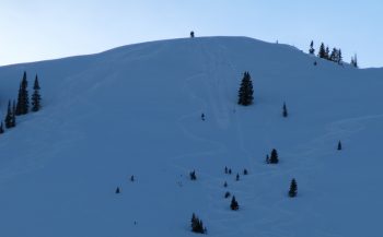
- Ski tracks gouging to near the ground just off the ridge on one of the steeper parts of Coneys. NE aspect 10,800ft