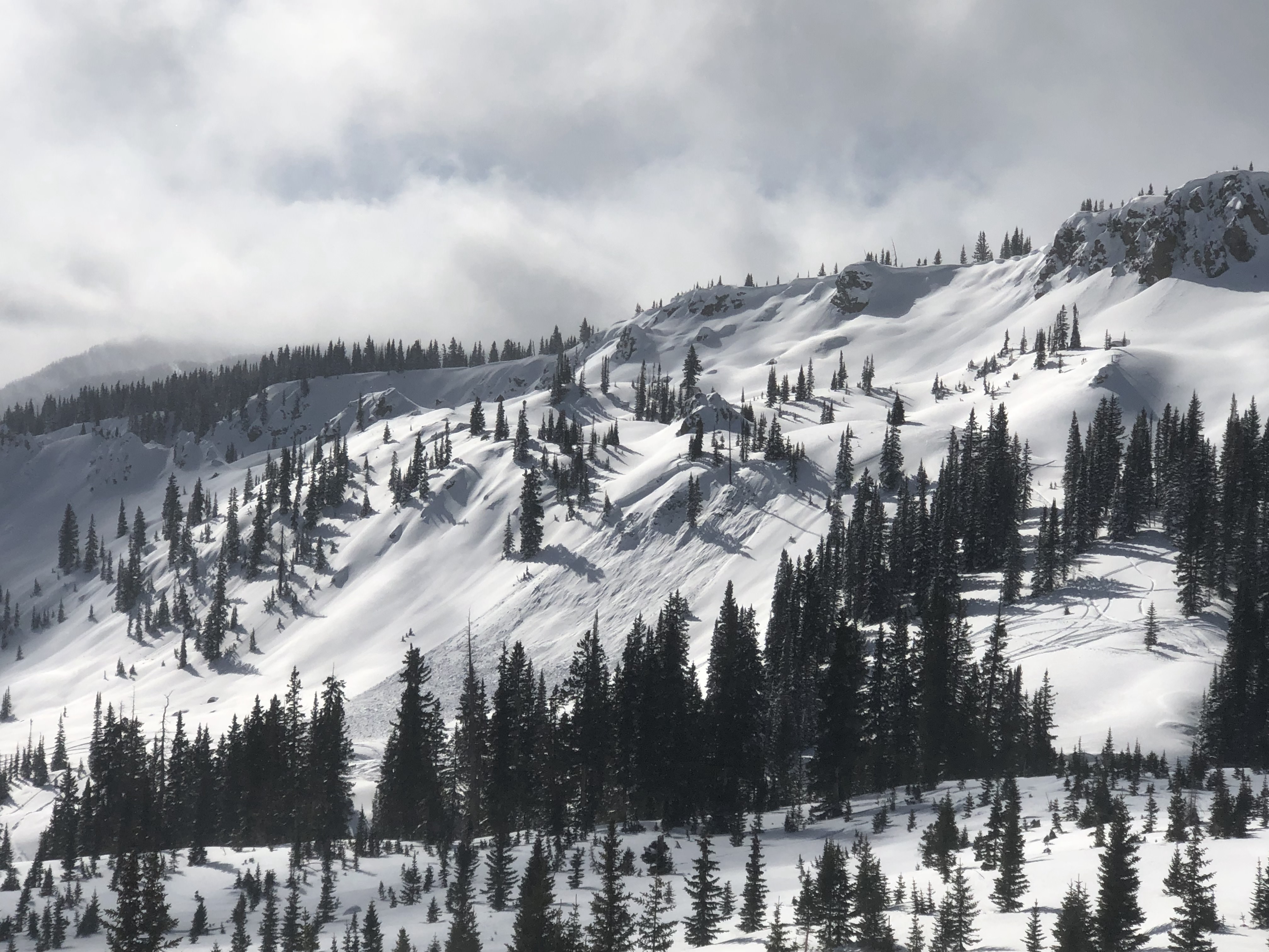
Location: Kebler Pass Area
Date of Observation: 01/28/2019
Name: Eric Murrow
Subject: Quick look BTL on west end of Emmons
Aspect: East, South East, South
Elevation: 9,200′ – 10,500′
Avalanches:
Weather: Snow S1 with short periods of S2 during AM. Skies began became partly cloud by 2pm and snow tapered off, about 2.5inches new at 2pm.
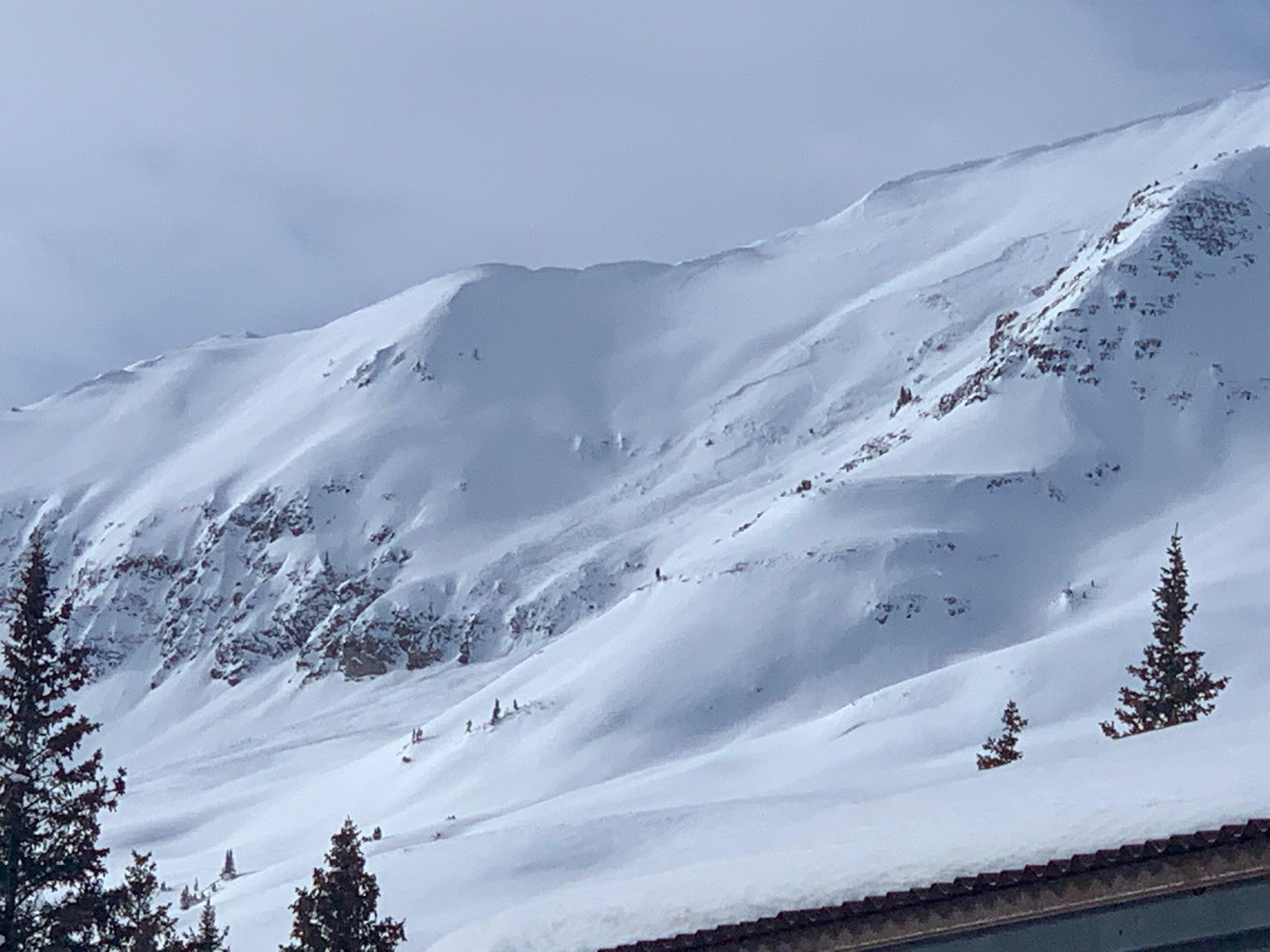
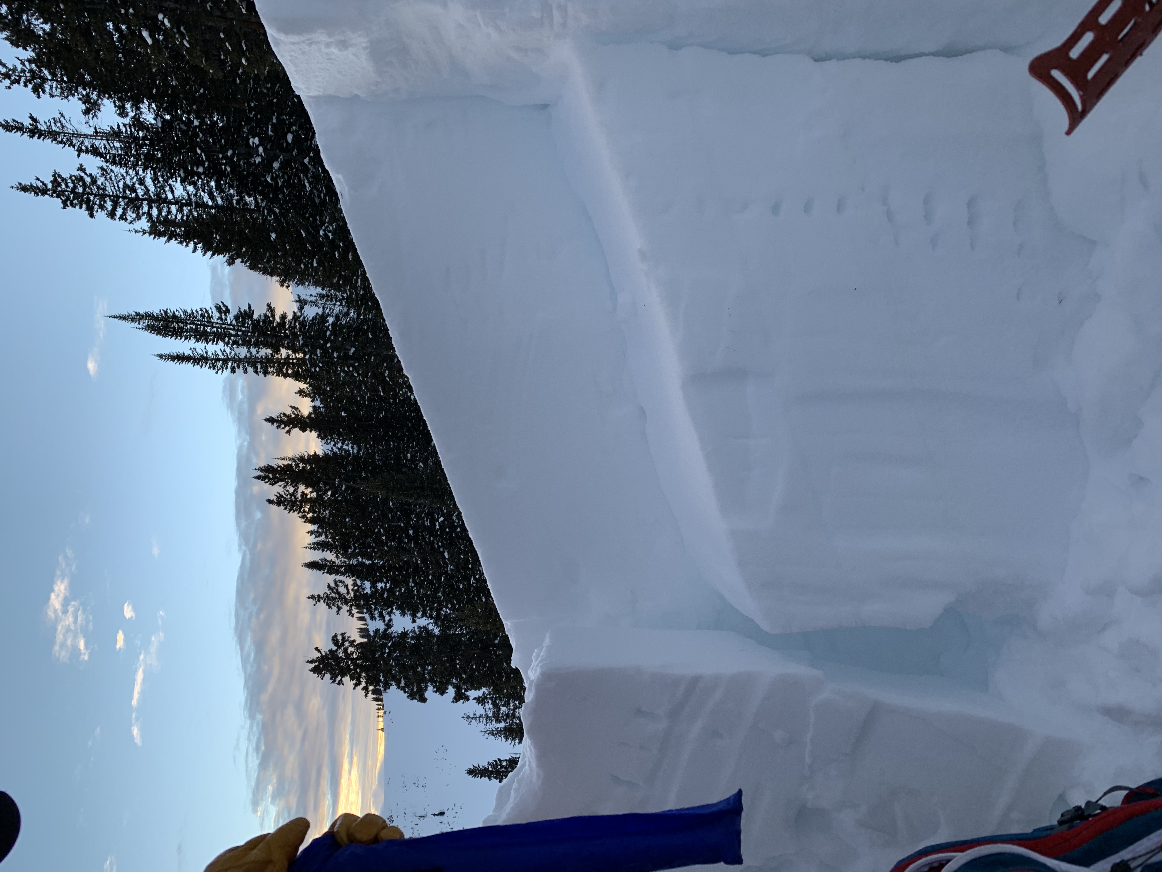
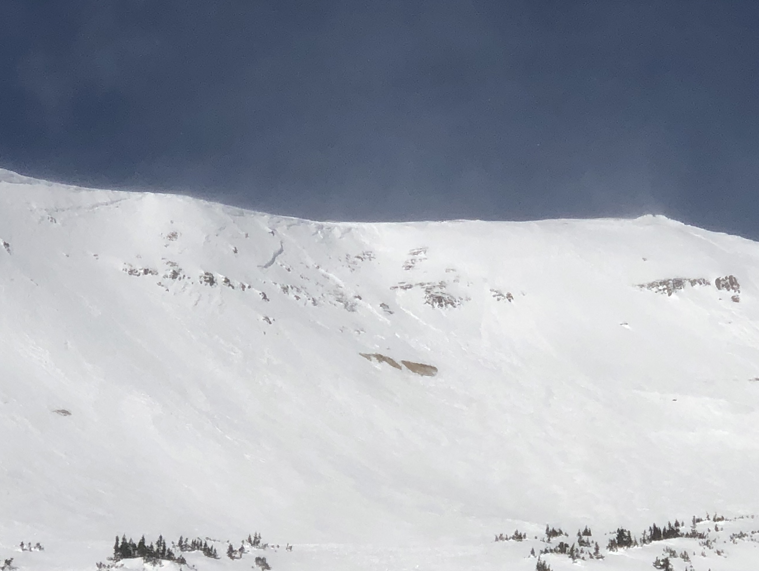
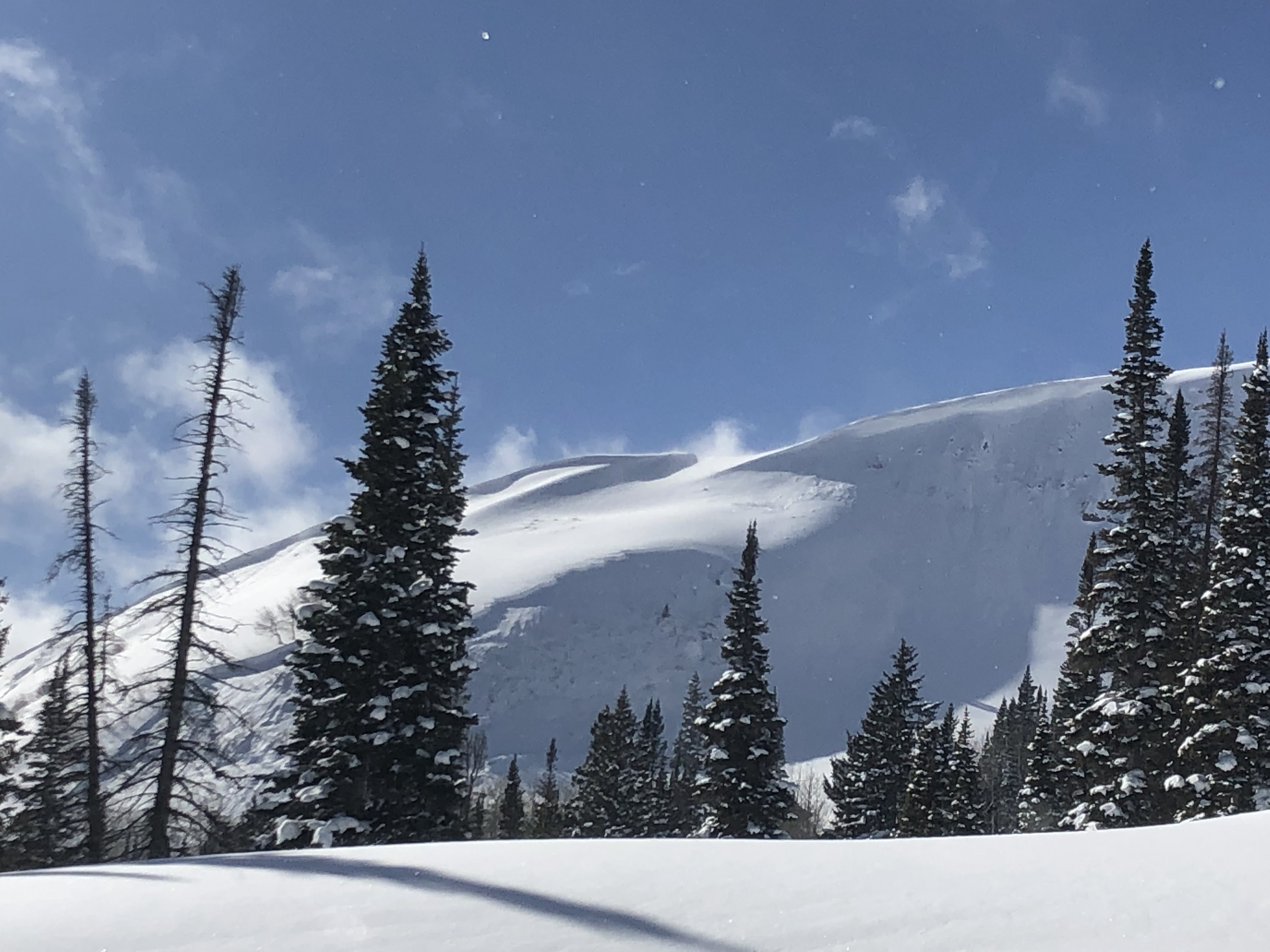
Snowpack: Took a look at some easterly terrain near several natural avalanches that failed 1/25 or 1/126. HS at 10,400′ in rolling easterly terrain averaged around 160cm. On one East facing roll the early January weak layers were around 75cm down (was able to pick some rounding SH out of the interface), ECTX. This was likely the interface responsible for the nearby natural avalanches. Mid-December weak layer and early season basal weak layers continue to gain strength and round. Interfaces of interest in this deeper snowpack part of the forecast area are becoming the 1/15 and 1/21.
Photos: