The persistent slab evolution

CBACBackcountry Notes

An update on our persistent slab problems.  March 16, 2021. By Zach Guy, Lead Forecaster

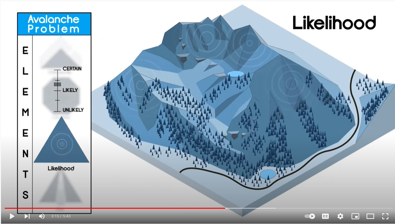
You will notice in our forecasts a change in travel advice, size, and likelihood of the persistent slab problem –  a problem that has been on the bulletin all winter.  We have several persistent weak layers in the snowpack, and we are restructuring how to present them as avalanche problems as we move forward this week. As much as we’d like our problems to fit into a nice, clean box, often the snowpack blends problems and blurs the lines.  Our goal is always to make clear and simple travel advice using avalanche problems as a foundation.  For that reason, here are the changes you can expect as our snowpack evolves.

  • We have a new persistent slab problem that is just starting to evolve, the result of weak layers that formed in late February and early March.  It has been the culprit in a handful of triggered slides in the past week, including a few remote triggers (example A, example B).  Up until now, we’ve been calling it a storm slab or wind slab in our problem list.  The problem isn’t well developed yet because we simply haven’t had much snow on these layers yet.  You can find it now in areas where the winds have loaded snow, or in areas that got more snow out of this last storm.  The weak layers of concern were most recently buried on March 10th, so we’re calling it the 3/10 weak layer.  It is actually a stack of weak layers that formed throughout the dry spell that started in mid-February, that was interrupted by a few small snowfall events and warmups in early March.  Thus, it presents itself as either a crust/facet/crust layer or near-surface facets, or some combination of the two.  It is especially weak where it formed on the bed surfaces of avalanches that ran in mid-February (and there were a lot of avalanches in mid-February).  That’s because the snowpack on those slopes is shallower and more prone to advanced faceting.  So far, we’ve only found it to be a concern on northwest, north, northeast, and east aspects.  That’s because the facets got cooked on hotter slopes and/or the crusts are thicker and stronger on those more southerly aspects.   The photo below demonstrates what that problem looks like near Kebler Pass right now.

  • We are phasing our old persistent slab problem off of the problem list – and by that, we mean the large-grained weak layers near the ground that formed early in the season (The 12/10 layer and 1/19 layer).  Apart from wet slab issues, which are a different beast, those layers have been dormant since late February. This last storm was a modest test on deep layers and we didn’t see evidence of them becoming an issue again.   This problem has been a blend of a persistent slab or deep persistent slab since February, depending on your location in the forecast area and what aspect you are on.  We kept calling it a persistent slab across our forecast zone for simplicity’s sake.  If we reintroduce this problem later in the spring due to a major storm, we will likely be listing it as a deep slab problem, to prevent overlapping and confusing travel advice for the newer generation of persistent slabs.   We are phasing it out as one of the primary problems because triggering one of these deeper layers has become very unlikely under our current weather pattern.  That could certainly change with future storms, and it is impossible for us to completely rule out an oddball avalanche that breaks on deep layers.  The most probable scenario for a deep failure would be a large cornice fall.  Of course, basal weak layers could also  reemerge as a problem during spring melt, in which case we’ll present them as a wet slab problem.  The image below shows an example of the 12/10 and 1/19 layers on Mt Whetstone last week.


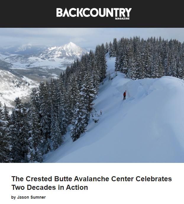
CBAC on NPR

RobStricklandBackcountry Notes

🎧 Headphone up and enjoy this National Public Radio coverage of the Crested Butte Avalanche Center’s new Outreach program!! Thanks for your generous support of the program. We couldn’t do it without you! Enjoy the sweet sounds of all of your hard work...🎧

As the story points out, the funding for this avalanche education and outreach program is only temporary, so please hit the button below to help us continue to sustain and grow the program!

Today’s NPR story was actually the second story covering our work this week! In case you missed it, check out the Colorado Sun article on our work linked below: 

Thank you for helping us in our 20-year mission of helping Gunnison County residents and visitors enjoy our mountains and come home safely to friends and family.

Avalanche Rescue Videos

RobStricklandBackcountry Notes

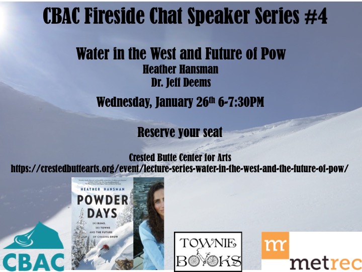
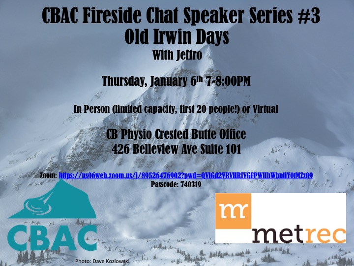
CBAC Fireside Chats

2021 Fireside Chats

RobStricklandBackcountry Notes

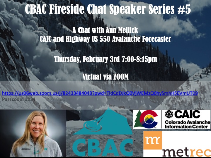
Dec 20th- Wendy Wagner of the Chugach National Forest Avalanche Information Center.

Jan 7th- Dragons in the snow with Craig Gordon and Ed Power.

Jan 21st- Drew Hardesty, On the nature of forecasting… And why we get it wrong.

Feb 4th- Starr Jamison, Life after the Avalanche.

  • Recording.  HERE
  • password:  GPB7Tpz*

Feb 18th, 7-8:15 pm – Anne St. Clair, Canadian Forecaster Insights

March 18, Jacks Hutchinson. Left of Whumph and Avy Dogs. zoom link.

  • Recording
    here
    Passcode: d2*q5iiC


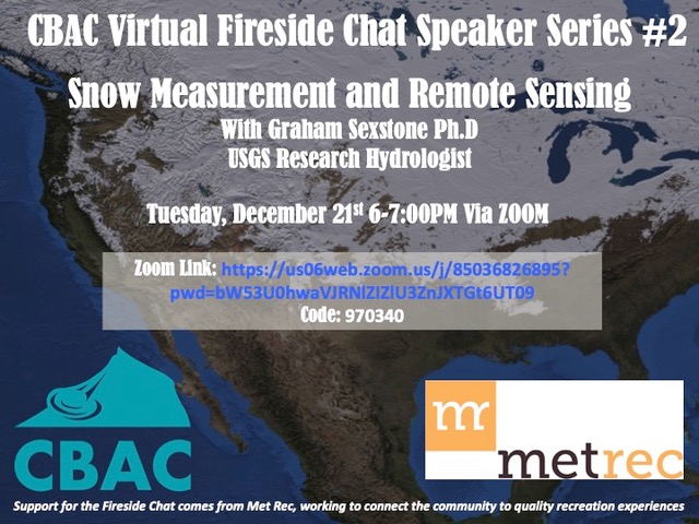
Our final Virtual Fireside Chat of the season is this Tuesday.  Dr. Erich Peitzsch, with the U.S.G.S., will be joining us from Glacier National Park, where he has been conducting research on wet avalanches, using drones to study the snowpack, avalanche fatality trends in the U.S., and more.  Join us at 7 p.m. on April 13th at this link: https://zoom.us/j/94179033141

RECORDING: Passcode: Rzn5Wv$5

WET SLAB THAT RAN DURING LAST WEEKEND’S WET CYCLE ON AVERY PEAK.

Snodgrass Accident Report

CBAC2020-21 Accidents, 2020-21 Observations, Accidents, Backcountry Notes

The accident investigation from the Snodgrass avalanche incident on December 15, 2020 is available here.

We do our best to describe avalanche accidents to help the people involved and the community as a whole better understand them with the hope that it will help people avoid future avalanche accidents. Thanks to everyone who responded to this incident and helped improve the outcome, and thank you to the party involved for sharing their story to turn it into a learning opportunity for all of us.

Fatal Accident Report from Anthracites

CBAC2020-21 Accidents, 2020-21 Observations, Accidents, Backcountry Notes

The accident investigation from the avalanche fatality that occurred in the Anthracites on December 18th  is available here.

We do our best to describe avalanche accidents to help the people involved and the community as a whole better understand them with the hope that it will help people avoid future avalanche accidents. Our condolences go out to the friends, family, and all involved.

Weekly Summaries are underway!

CBACAnnouncements, Backcountry Notes

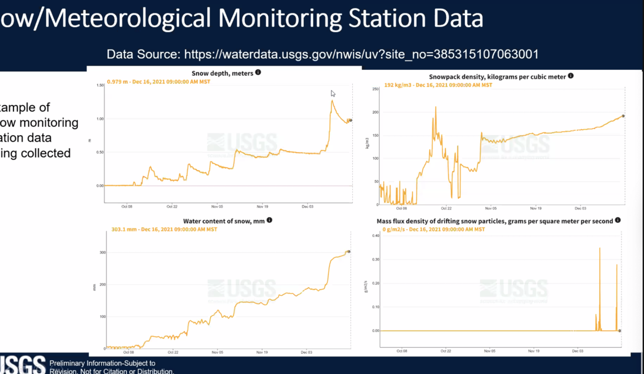
Our CBAC interns, Jack Caprio and Jared Berman, will be producing weekly snowpack summaries every Friday under the guidance of our forecast staff.  The summaries are a great resource for tracking the evolution of the snowpack and avalanche activity over the course of the winter.  You can view the summaries under the “Observations” tab here or under the “Conditions Blog” tab on our forecast page. Below is a teaser of this week’s summary.

New forecast platform

CBACAnnouncements, Avi Blog, Backcountry Notes

We have a few exciting changes to announce as we gear up for winter, including a new forecast platform and new forecast zones!

Forecast Platform

We are adopting the National Avalanche Center’s new forecast platform.  The new platform has some great upgrades for our users to help us better communicate our safety messages to you.

  • It’s mobile-friendly.  More and more of our users are now accessing the forecast from their phones. The new forecast pages will now adjust to fit your phone or tablet, making it easier to read our forecasts on the go.
  • Better media.  We now have the ability to add photos, videos, and captions within portions of the forecast to help illustrate avalanche problems or travel advice more clearly to you.
  • Bottom line and problem descriptions. While the basic layout of the forecast page will look similar to years past, this platform allows us to add a bottom line and problem descriptions.  The bottom line will highlight the key points of the forecast, and the problem descriptions allow us to provide dynamic travel advice for each avalanche problem as conditions evolve.
  • Conditions blog.  We’re experimenting with a “Conditions Blog” tab that can accompany the forecasts.  This is where we will provide weekly summaries and bonus material that supplements the forecast. More info for you at your fingertips!
  • Consistency.  There are about 8 or 9 other avalanche centers around the country that are adopting the same platform.  If you go skiing or riding in the Sawtooths, or Cascades, or Sierras, or any number of other mountain regions around the West, you can expect to see avalanche information presented in the same format as ours.  That makes it easier for you to digest the info and communicate with your partners.

New Forecast Zones

This map, which lives on our homepage, will show the daily avalanche danger rating for each of the two forecast zones. Clicking on a forecast zone will lead you straight to the forecast.

As most of our regular users know, the Crested Butte backcountry often develops into distinct snow climates: one with a deeper snowpack to the west and north of town, and one with a shallower snowpack near, east, and south of town.  In the past, we often use the text to describe nuances between the snow-favored parts of the forecast area and the drier parts of the forecast area.  Now, with our new forecast platform, we are integrating two forecast zones: the Northwest Mountains and Southeast Mountains.   This change allows our forecasters to better highlight spatial differences in the avalanche danger, travel advice, or size and distribution of avalanche problems.   We divided the zones based on our historical understanding of where the deeper and shallower snowpacks commonly develop.  Our homepage has a map of the forecast zones to reference these boundaries.   The Northwest Mountains include the snow belts of the Anthracite Range, Kebler Pass, Ruby Range, and Paradise Divide.  The Southeast Mountains include the drier parts of our forecast area such as Cement Creek, Brush Creek, the Gothic area, and some terrain close to town such as Red Lady Bowl, Climax Chutes, Coneys, and Snodgrass.  Our forecast team expects that there will be plenty of days where the forecasts for each zone will be exactly the same.  However, there will also be days where we highlight important differences.  For you, it’s simple. Click on the forecast map or select the forecast zone for the region that you plan to travel in for the day. That will lead you to the most current and relevant information.  Our detailed forecast discussion will be the same across both forecast zones to simplify the material for those folks who enjoy following the progression of the snowpack on a daily basis.  And as a reminder, these are regional forecasts that generalize conditions across a large area.  Although they should serve as a starting point for planning your day, you are responsible for assessing conditions on a slope by slope basis to minimize your avalanche risk.

Feel free to shoot us a message if you have questions about any of these changes!  cbavalanche@gmail.com


Zach Guy

CBAC Lead Forecaster