Sunny side down

CBAC2020-21 Observations

Date of Observation: 02/14/2021
Name: Zach Kinler
Zone: North and West of CB
Location: Obs from town looking north towards Paradise Divide
Aspect: South East, South, South West
Elevation: Near/Above Tree line

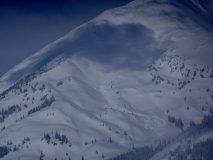
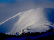
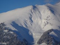
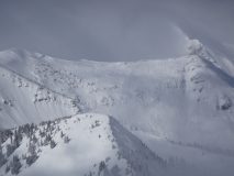
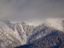
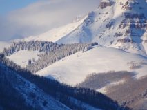
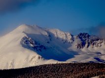
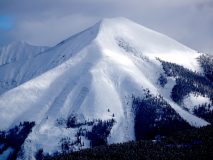
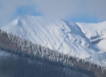
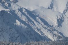
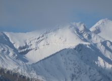
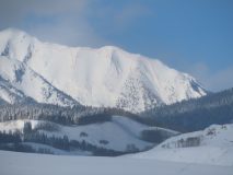
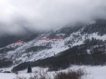
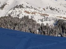
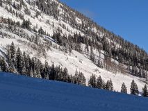
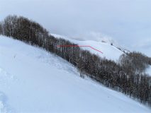
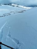
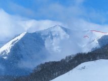
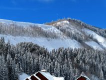
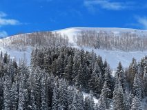
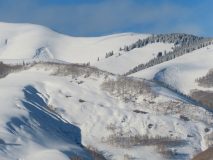
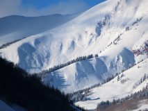
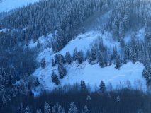
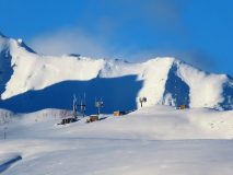
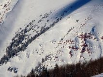
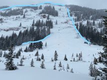
Avalanches: Observed several large to very large avalanches on the sunny side of the compass from town yesterday afternoon. These slides were on S and SE aspects near and above tree line and looked to have run sometime late Friday or early Sat as crowns have been filled back in a bit.


Snodgrass avalanches

CBAC2020-21 Observations

Date of Observation: 02/14/2021
Name: Alex Tiberio


Zone: Southeast Mountains
Location: Snodgrass and SE face of Gothic
Aspect: North East, South East
Elevation: N/BTL

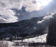
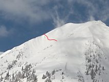
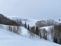
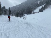
Avalanches: Several fresh, wide avalanches on Snodgrass spotted this morning. Observed a large natural run off the SE face of Gothic this afternoon at 3:24 p.m.

Photos:

Washington Gulch Avalanches

CBAC2020-21 Observations

Date of Observation: 02/14/2021


Zone: Northwest Mountains
Location: Washington Gulch

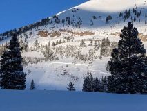
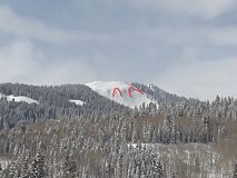
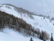
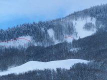
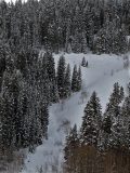
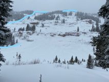
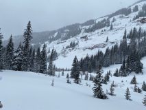
Avalanches: A lot of avalanches out Washington Gulch. Mostly near treeline. I think crowns were 6 to 8 feet thick? Looked big next to trees. Several of the slides appeared today, maybe ran naturally or triggered by sleds romping around.


Photos:

Carnage seen from Coon

CBAC2020-21 Observations

Date of Observation: 02/14/2021
Name: Jared Berman, Eric Murrow


Zone: Southeast Mountains
Location: Pony Tail Glades /Coon Basin
Aspect: East, South
Elevation: 9200′-12,000′


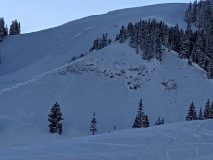
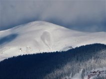
Avalanches: Eight large to very large avalanches observed on mostly alpine terrain on south, southeast, west, northwest, and north aspects. See photos below.

Weather: Overcast skies that later cleared by late afternoon. Light winds from the NW at 12,000ft. No snow transportation observed at ridgetops.

Snowpack: New storm snow since Wednesday ranged from 8″ below treeline to 24″ near and above treeline. Although winds were calm last night, above treeline we could see pillows of previously wind drifted snow below ridgelines on easterly facing terrain. No cracking or collapsing was observed on any aspect we traveled on today. By late afternoon, snow surfaces below treeline on southerly aspects became moist with a thin breakable sun crust on steeper slopes.


Photos:

Slide Peeping

CB Avalanche Center2020-21 Observations

Date of Observation: 02/14/2021
Name: Ben Ammon


Zone: Southeast Mountains
Location: Coneys
Aspect: North, North East, East
Elevation: BTL/NTL


Avalanches: Slab avalanche in West Side of Snodgrass, ran sometime between 0900-1200 on 2/14, same slide pictured in Briebart’s ob.
Shallow storm slab on West Side of Gothic (pictured)
Persistent slab x2 in SE bowl of Elkton Knob (pictured)
Observed a very large crown just below ridgetop on SE/E aspect of Quigley Basin on Baldy, only photo I could get looked like garbage.
Weather: OVC with a couple brief periods of sun before 1200, then clearing in the afternoon.
Winds were calm but starting to be light and blowing up Wash Gulch. Afternoon/early evening winds appear to increase dramatically up high.
Snowpack: No cracking/collapsing observed in lesser travelled terrain at Coney’s.
NE @10,500′ HS 185-190cm
ECTP23 down 60cm, ECTP30 down 120cm, PST110/130 END down 120cm


Photos:

Persistent slab sampler platter

CBAC2020-21 Observations

Date of Observation: 02/14/2021
Name: Zach Guy


Zone: Southeast Mountains
Location: Various BTL locations near the fringes of Crested Butte

Avalanches: Widespread persistent slab activity from the Friday night to Saturday night cycle. Fairly decent D1.5 to D2 cycle below treeline, mostly on the eastern quadrant. The most widespread activity was on the northern part of the valley (Wash Gulch to Snodgrass), while the below treeline slopes near and south of town remained mostly intact, with a few exceptions. Above treeline activity spanned the whole compass, quite a bit more windward aspects this time around. I suspect that’s because this storm came with much less wind towards the latter half. Didn’t get good views of easterly aspects above treeline today because alpine visibility didn’t materialize until sunset when those aspects are in the shade. See photos for specific details of avalanches.
Weather: A few light snow flurries throughout the day. Light winds in the afternoon with some light drifting snow at times.
Snowpack: Traveled in several different areas with a generally shallow snowpack. About 10″ to 12″ of settled storm snow. Triggered numerous rumbling collapses and shooting cracks breaking on basal weak layers about 2 to 2.5 feet deep.


Photos:

Washington Gulch-Coneys

CB Avalanche Center2020-21 Observations

Date of Observation: 02/14/2021
Name: Andrew Select Breibart


Zone: Southeast Mountains
Location: Washington Gulch-Coneys
Aspect:
Elevation: BTL


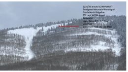
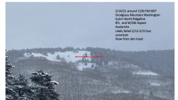
Avalanches: On the skin out today, I observed a D1/D0.5 avalanche on the north ridge of Snodgrass Mountain in Washington Gulch: BTL on W/ SW aspect in a drainage. Poor visibility on 2/13/21 prevented me from observing this avalanche. It likely failed 2/12-2/13 but I am uncertain.
Weather: calm. mostly obstructed skies. patchy S-1/S1 snowfall with no snow loading.
Snowpack: 2 to 4 inches of new snow in skin track. HS at one ridge top location was 155 cm. Same as yesterday, no cracking, collapsing, or whumping on/off skin track. Same plan as yesterday.


Photos:

Cement Creek Snow

CB Avalanche Center2020-21 Observations

Date of Observation: 02/14/2021
Name: Cosmo Langsfeld


Zone: Southeast Mountains
Location: Cement Creek Ranch
Aspect:
Elevation: 9250′


Avalanches:
Weather: Snow fall quit by mid morning Sunday. ~10″ of new snow since Friday afternoon/evening. That might include some of the snow that fell later in the day on Friday, but most is from Saturday/Saturday night.
Snowpack: As of Friday, the new snow from middle of last week had been blown into 1F-4F windslabs in the valley bottoms. The ones I found were 4-8″ thick. Found a very thin (<1cm) sun crust on some aspects and in the flats just below newer snow (maybe from thursday?). HS in flats is about 2-3 feet, though deeper in wind pockets, shallower where wind scoured. Snow depth of hillsides varies greatly depending on aspect.


Road Above Death Pass

CB Avalanche Center2020-21 Observations

Date of Observation: 02/13/2021
Name: Marcel Medved


Zone: Southeast Mountains
Location: Road above Death Pass
Aspect: East, South
Elevation: 9,500


Avalanches: We decided to avoid Death Pass, due to recent snow fall and multiple avalanche sightings returning from Friend’s Hut. Cornice Drop and Slab Avalanches around entire curve, as well as below the road. We caused cracking and set off a smaller slab avalanche below the road from 50-100′ away.
Weather: mid 20F, relatively calm.
Snowpack:


Photos:

East Brush Creek

CB Avalanche Center2020-21 Observations

Date of Observation: 02/13/2021
Name: Marcel Medved


Zone: Southeast Mountains
Location: East Brush Creek Trail to Friend’s Hut just above the 3rd Creek Crossing
Aspect: East
Elevation: 11,400-10,400


Avalanches: Entire hillside (.4miles wide) slide from ridge to and across the creek, crossing the winter trail in one area (100-200yards wide). We came across this at 11am and it only had 1-2″ of fresh on top of it, so it ran Saturday 2/13 around 9am.
Weather: At Friend’s Hut it was around 20F with 12″ of fresh powder over night, bringing the total since 2/9 to around 24″.
Snowpack:


Photos: