Name: Evan Ross
DATE: 3/6/15
LOCATION: Mt Emmons
ELEVATION: ATL-BTL
ASPECT: SE/S
WEATHER: Really blue, really hot and really no wind.
SNOWPACK:
The march toaster oven was in full effect. Snow surfaces at all elevations became moist by mid day. Differently some rapped settlement going on. Didn’t observe any obvious signs to instability while traveling through terrain but the wide spread avalanche cycle speaks to the potential.
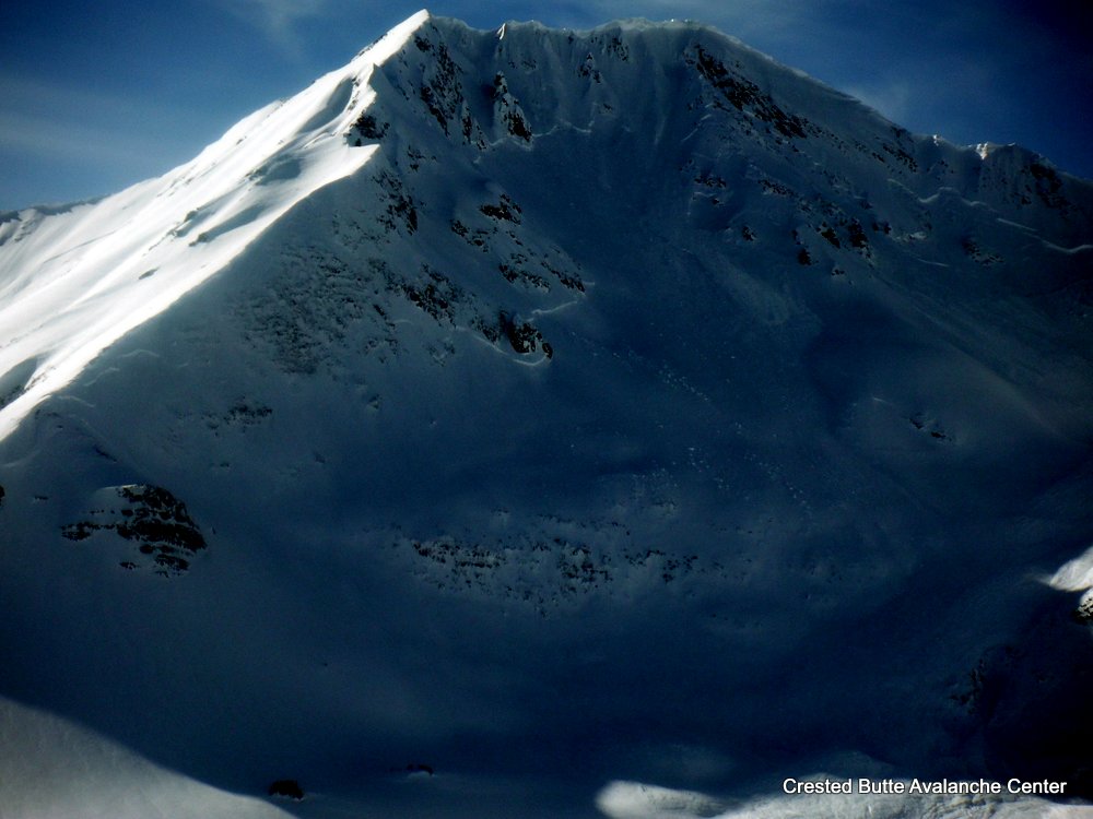
AVALANCHE OBS:
The lookers left side of RLB (Northeast facing) ran at some point. D2.5 with a 3-4 food deep crown and about 3,000ft wide when measured on Google Earth! Otherwise large avalanches can be observed everywhere on all aspects at all elevations.