Location: Paradise Divide Area
Date of Observation: 03/02/2017
Name: Zach Guy
Subject: Remote triggers on Schuylkill Ridge
Aspect: North, North East, East, South East, South
Elevation: 9000’ to 11,400′
Avalanches: A group ahead of us remotely triggered 3 D1 soft slabs above a steep NE rollover below treeline, about a foot deep. Another rollover near treeline looked to be skier triggered today as well. All of these were 4F to F hard slabs over a very thin, faceted crust.
See photos of numerous previously unreported natural avalanches from around the zone that ran around 2/28. Some impressive propagation and long running slides, up to D2.5 in size.
Weather: Clear, light winds, cool temps.
Snowpack: The avalanches that failed today all held a common ingredient; enough easterly tilt to hold a very thin, faceted crust. On more northerly facing slopes lacking this crust, the buried near surface facet layer (35 cm deep) was unreactive in pits (ECTN19, BRK) and on ski cuts in steep terrain. We got several rolling collapses on low angle SE aspects NTL, but the collapses didn’t produce any avalanches in nearby start zones.

D1.5 – D2’s. Peeler Peak. NE aspect A/NTL
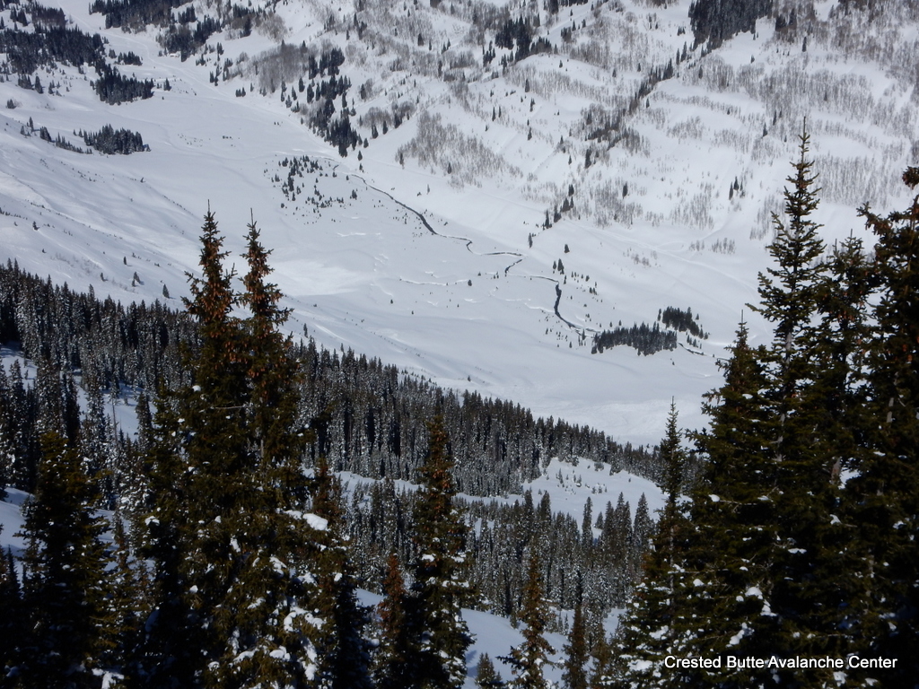
Several slides on Schuylkill Ridge ran to valley floor, D2.5 in size.

D2. S or SE aspect ATL, looking towards Paradise Divide.

Natural D1.5 below treeline, NE aspect of Schuylkill Ridge.

D2’s on E/NE aspects of Hancock Peak

D2, East aspect of Richmond Peak

Extensive avalanching on the west side of Schuylkill Ridge. Most paths ran with many widely propagating slides. D1.5 to D2.5, E and NE aspects.

D1.5 Climax Chutes. NE aspect NTL

D2 Purple Ridge. ENE aspect ATL.

ECTN19 on near surface facets, buried 35 cm deep. NNE aspect BTL.

Crown was up to a foot thick, failed on a very thin faceted crust.
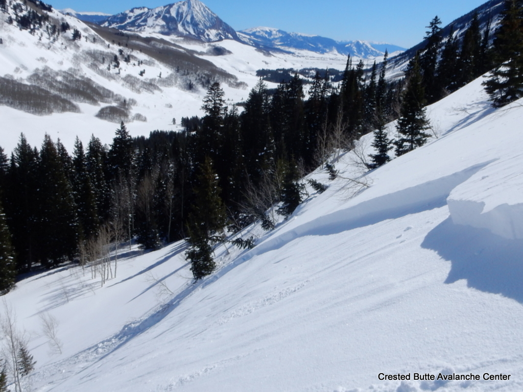
One of 3 remotely triggered D1’s on NE aspects BTL. Triggered from above.

This appeared to be skier triggered today. NE aspect NTL, failed on a very thin, faceted crust

D2. North aspect ATL of Scarp Ridge.

D1-1.5’s in Redwell Basin, NE aspects ATL.




 skook2
 skook
skook


 new world, godzilla natural. looks windslab intiated deeper instability, maybe crust facet combo or deeper
 2nd peak back in center of photo, large, almost basin-wide, multiple foot deep crown. in sun/shadow, in 3rd cirque of East Beckwith.
 tough to see but center-right, good sized PS looking slab off Ohio
 tough to make out but big, partially filled crown on afley, and lower left in rocky terrain on purple.