Date: 01/02/2018
Are we seeing the return of the left coast deflector shield? I hope not, but high pressure has returned to the Western US, keeping us under mild and sunny weather for the foreseeable future. Today there is a small pulse of cold air pushing down the east side of the front range, but continental divide will limit the spillover of cold air to the western slope. Expect very dry conditions with cold nights for the rest of the week.
-
Today
High Temperature: 28
Winds/Direction: 5 to 15, gusting 30, Northwest
Sky Cover: Clear
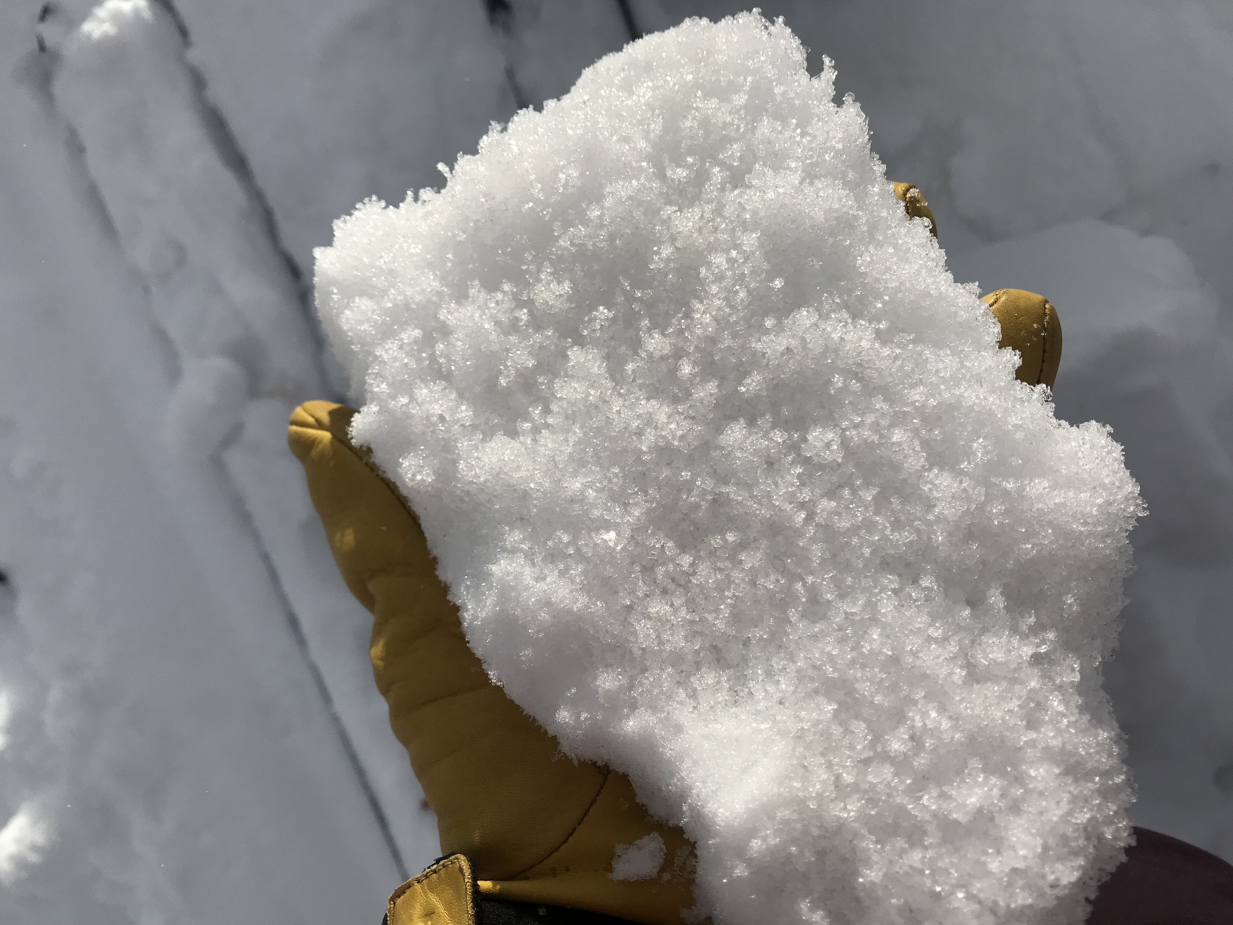
Irwin Snow: 0
Elkton Snow: 0
Friend’s Hut Snow: 0 -
Tonight
Low Temperature: 10, colder in the valley floor
Winds/Direction: 5 to 10, Northwest
Sky Cover: Clear
Irwin Snow: 0
Elkton Snow: 0
Friend’s Hut Snow: 0 -
Tomorrow
High Temperature: 30
Winds/Direction: 5 to 10, Northwest
Sky Cover: Clear
Irwin Snow: 0
Elkton Snow: 0
Friend’s Hut Snow: 0