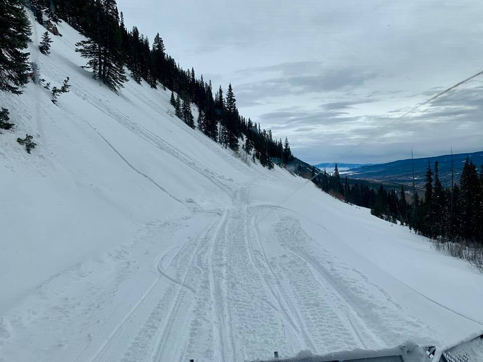
Location: Crested Butte Area
Date of Observation: 01/12/2019
Name: Avy 2 – Dave Bumgarner
Subject: Snodgrass Observation Tour
Aspect: South East
Elevation: 10,320
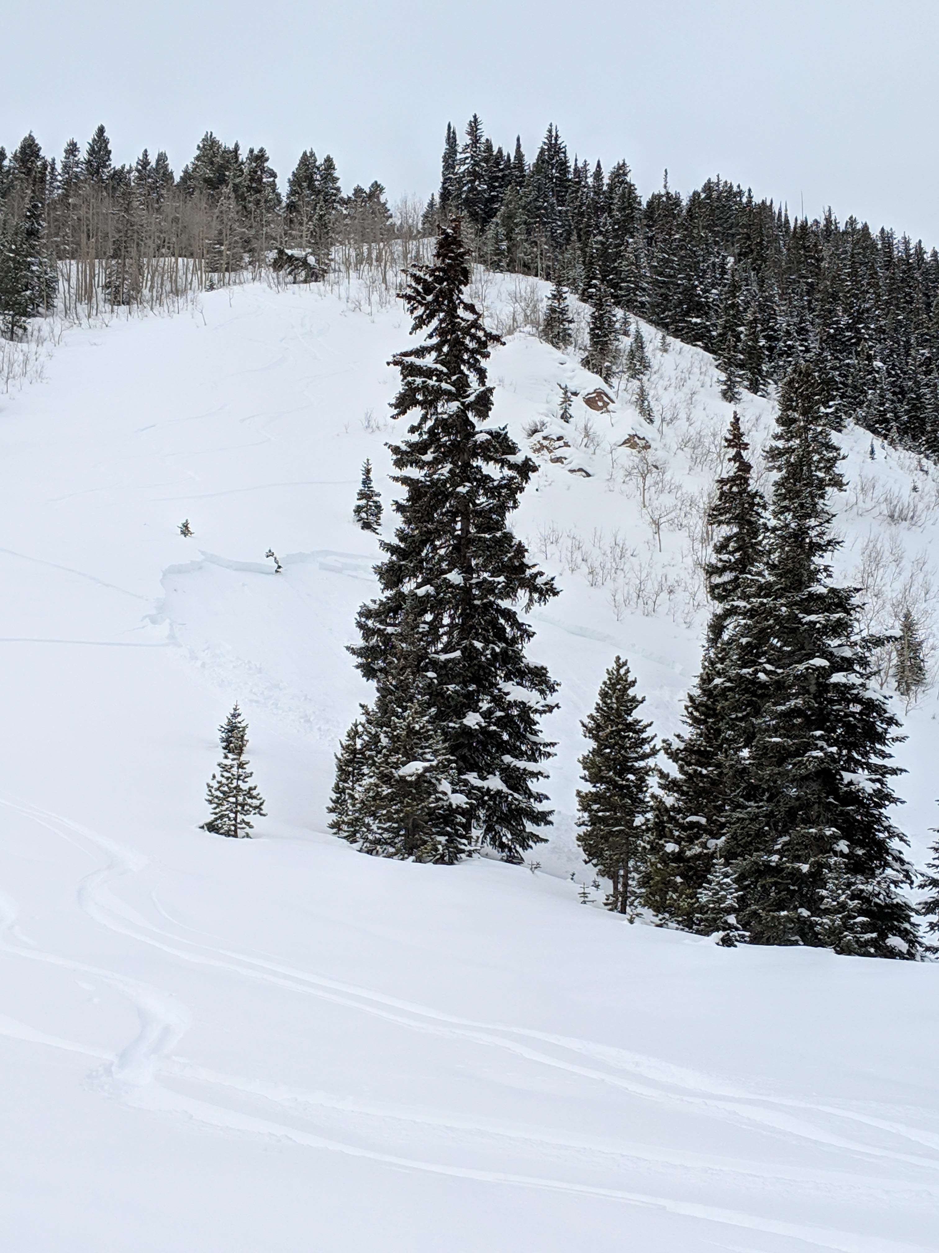
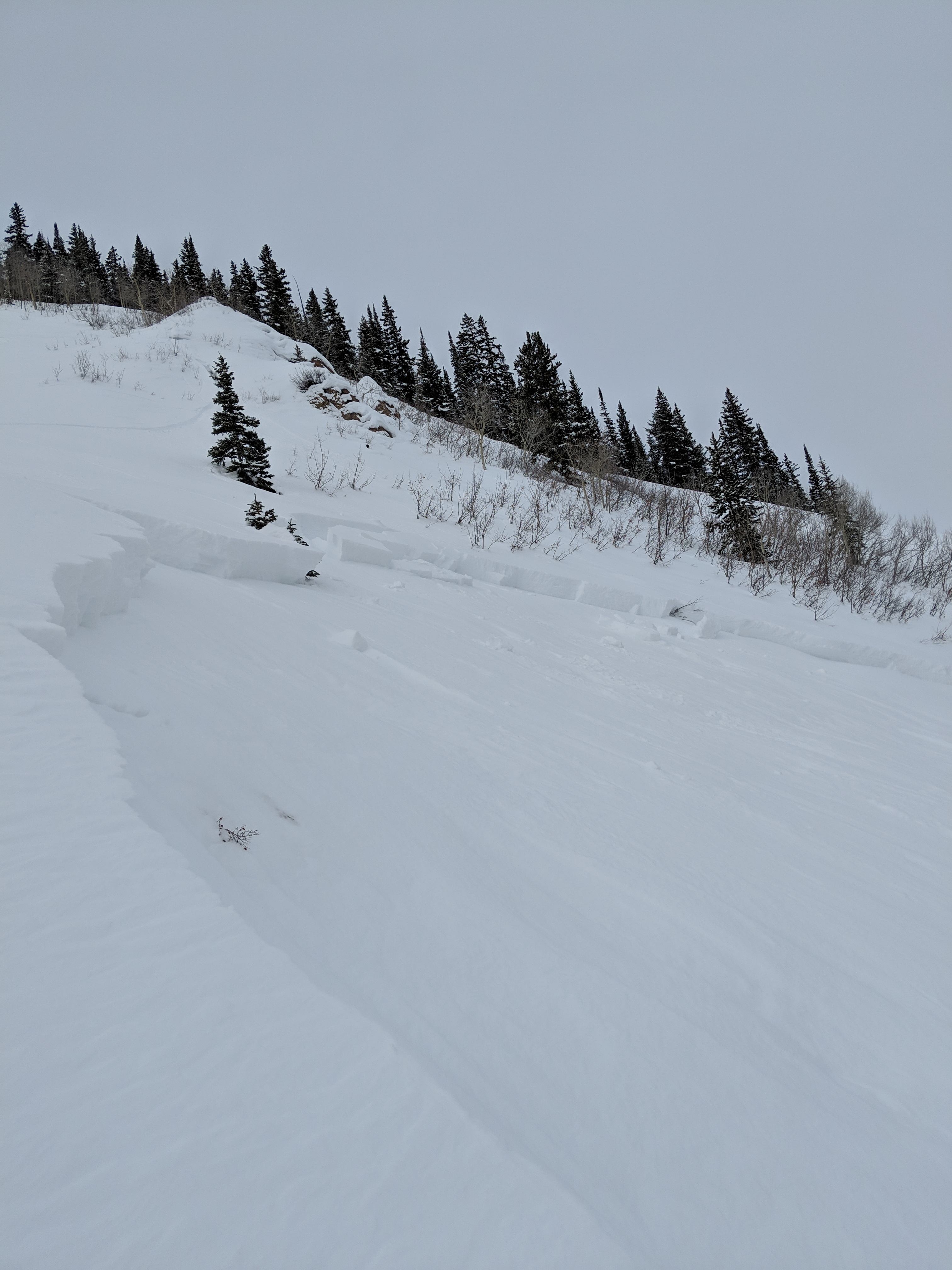
Avalanches:
None observed
Weather: Sky: Overcast
Precip: S-1
Wind: Calm
Temp: -5c
Snowpack: Pit:
HS: 91cm to 105cm
Incline: 26
Elevation; 10,320
Snow Surface temp: -4c
CT11SC down 16cm down, CT12SC 33cm down
ECTN11 SC 16cm down ECTP15 SC 33cm down
All fractures on buried SH layers 3-5mm in size
Throughout our tour we had multiple collapses.
We skied a 28 degree slope on the 4th shredder we had a large collapse.
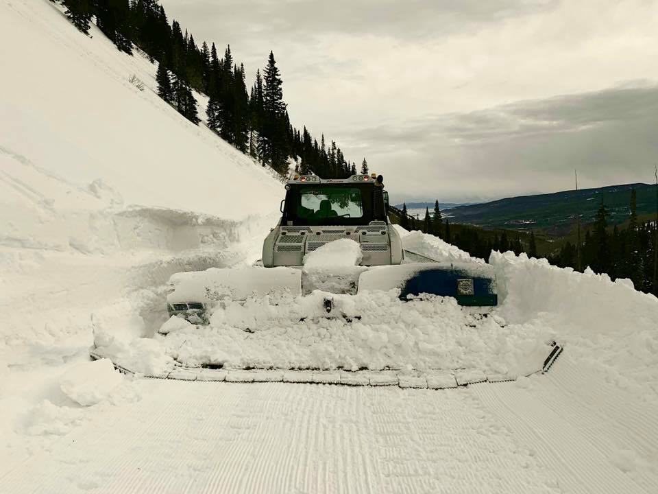
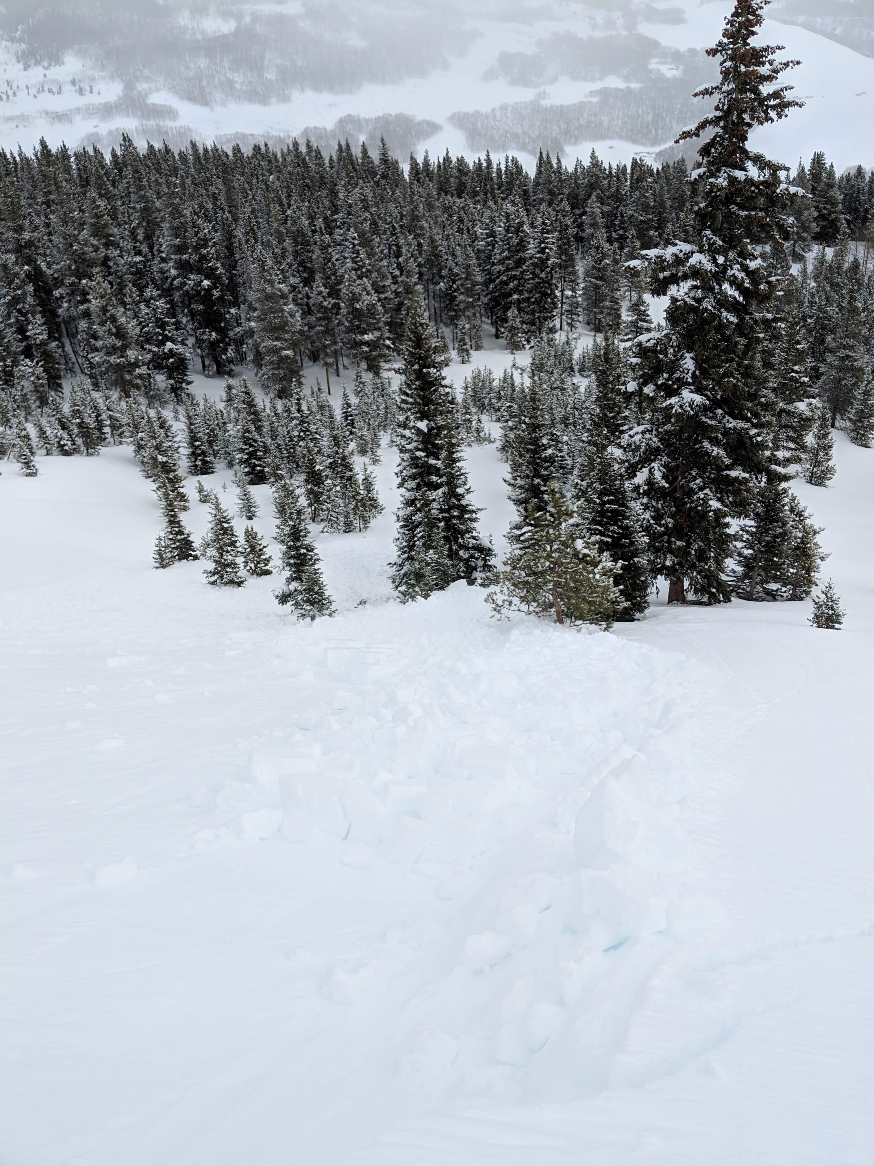
Photos: