Location: Crested Butte Area
Date of Observation: 03/25/2020
Name: Evan Ross
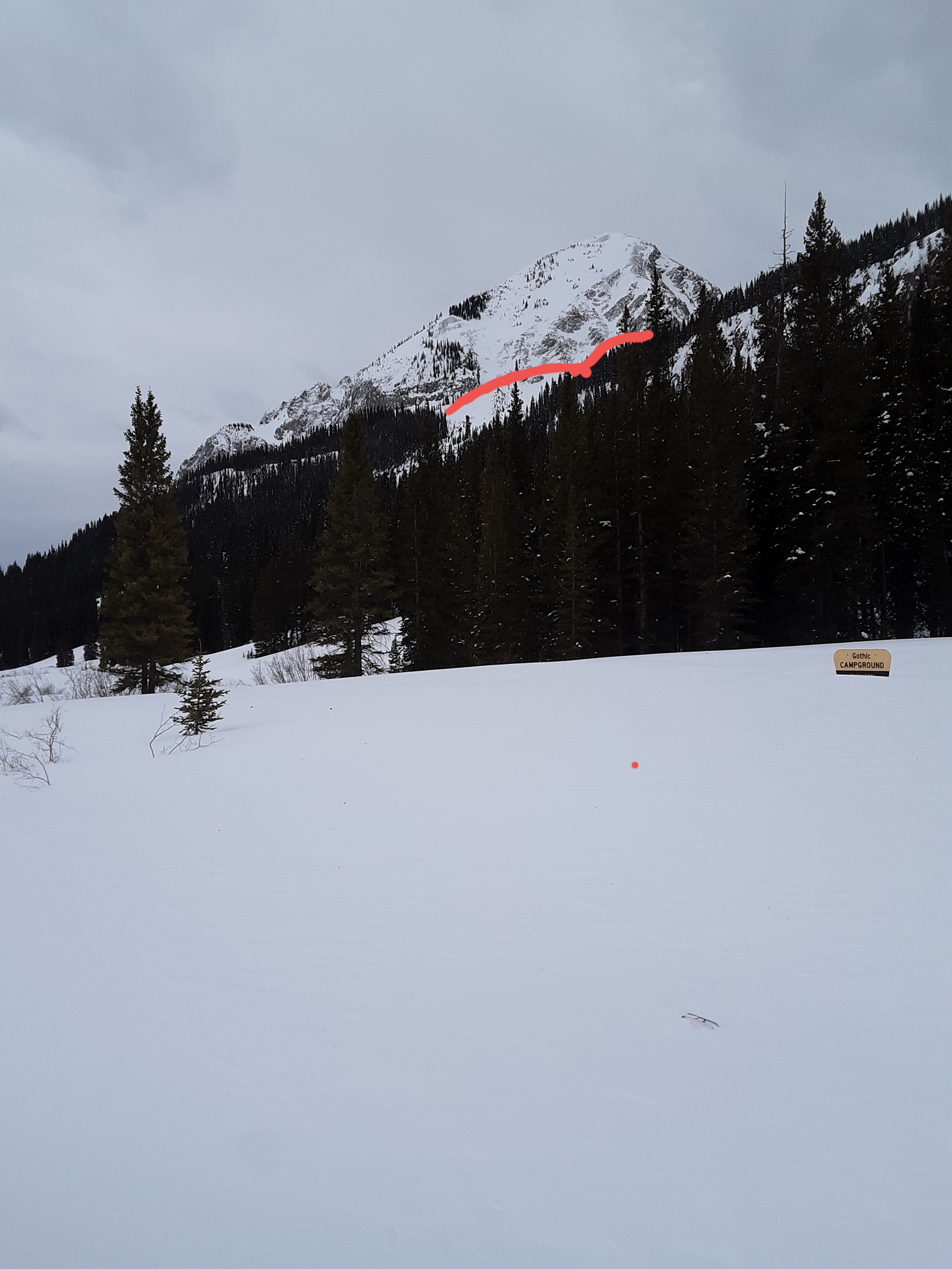
Subject: Carbon Peak
Aspect: North, North East, East, South
Elevation: 9.500-12,000
Weather: Late afternoon outing. Mostly cloudy sky, warm temps, and lighter winds then expected. Around 4pm at an exposed 12,000ft the westerly winds were light to moderate.
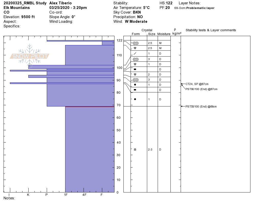
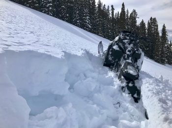
Snowpack: This area represents one of the dryer portions of our forecast area. I mostly traveled on northerly facing slopes as everything else was crusty and not much fun to ride. So this summary is for northerly facing slopes. The Continental Snowpack here was very evident with a randomly punchy structure in some places. In general there was a weak slab over a weak layer of facets. Sometimes the snowpack felt strong as the snowpack was supportive, and other times you would punch through the slab and into the weak facets in the lower half of the snowpack. I spent plenty of time finding trigger points and punching into the weak layer with no signs to instability. Still that type of snowpack structure is hard to trust and I looked over my shoulder more than once.
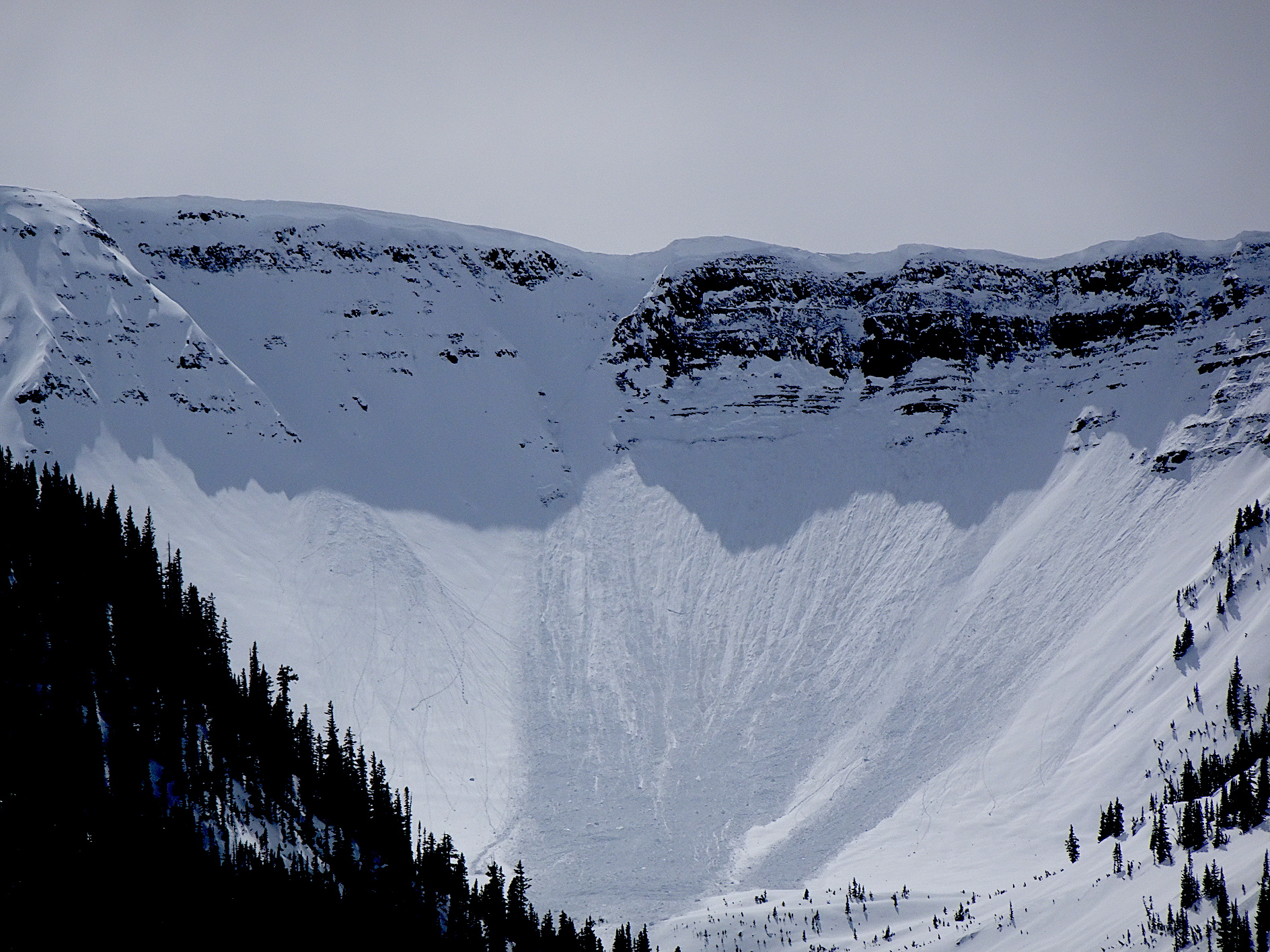
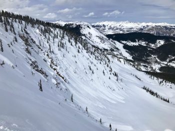
Came across a small slab avalanche that failed within the last 24hrs. Some of the cracks above the crown had been drifted over, but everything else was fairly sharp. NE, 11,950ft SS-N-R1-D1.5-I. The slab was 30cm thick and F+ hard. It released on the 3/18 interface. That interface was a 2cm crust. ECT, CT, and PST tests were inconsistent and not effective given the thin and soft slab. Even pulling on the slab in hand pits was difficult to pull a cohesive column of snow off the curst. Slope angle was about 36 at the crown and the slope rolled over steeper below the crown. Of other particular note was how quickly the flanks tapered away. That was either due to the Stauchwall location, or from previous wind-loading. HS was 150cm.
-
-
-
-
-
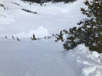
Old roller balls and small loose wet avalanches on easterly facing slopes.
-
-
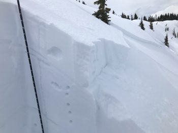
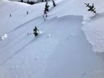
General example of areas with an unsupportive slab over week faceted snow on northerly facing slopes around 11,300ft