Date of Observation: 12/02/2021
Name: Eric Roberts
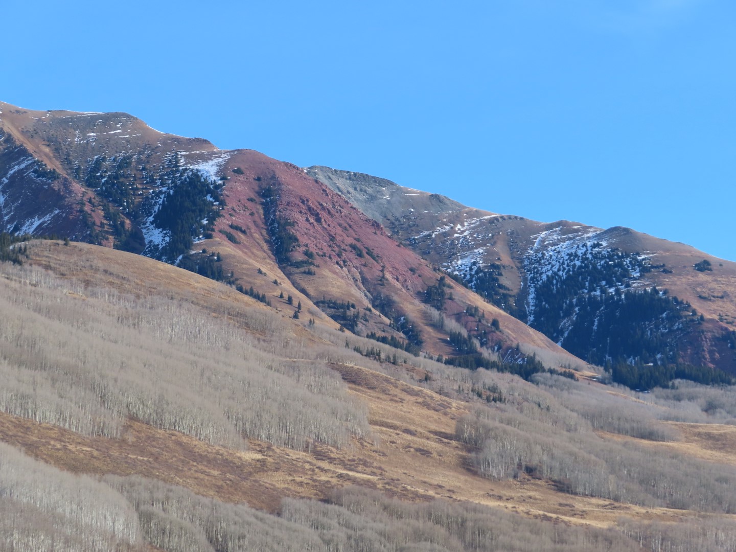
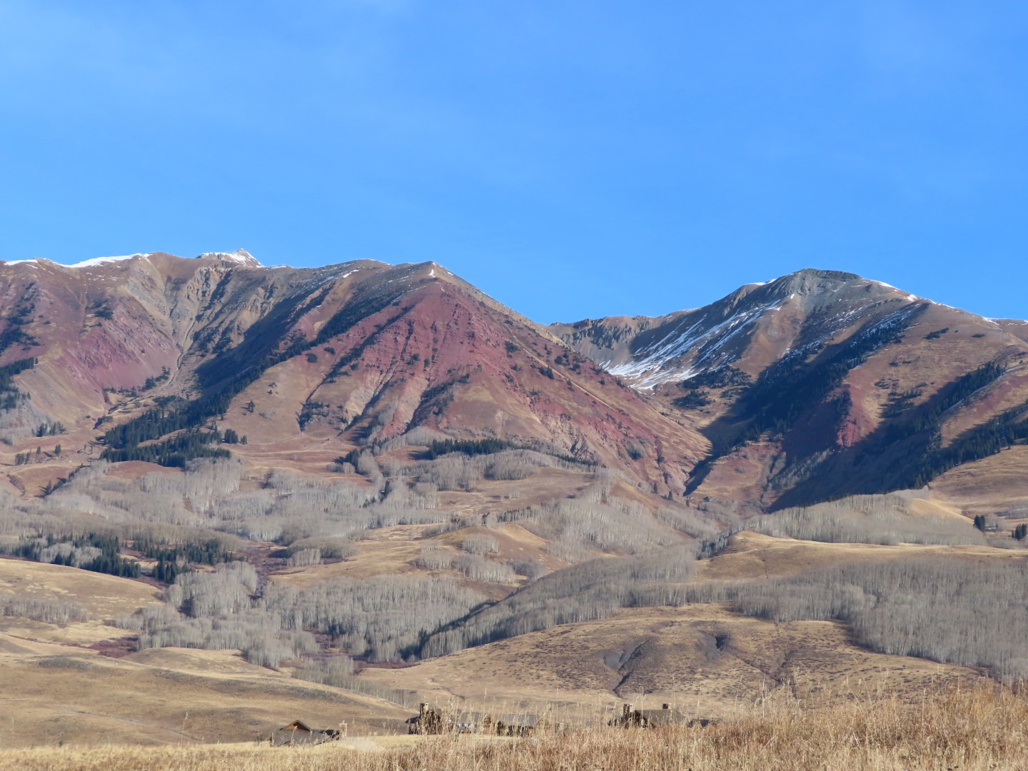
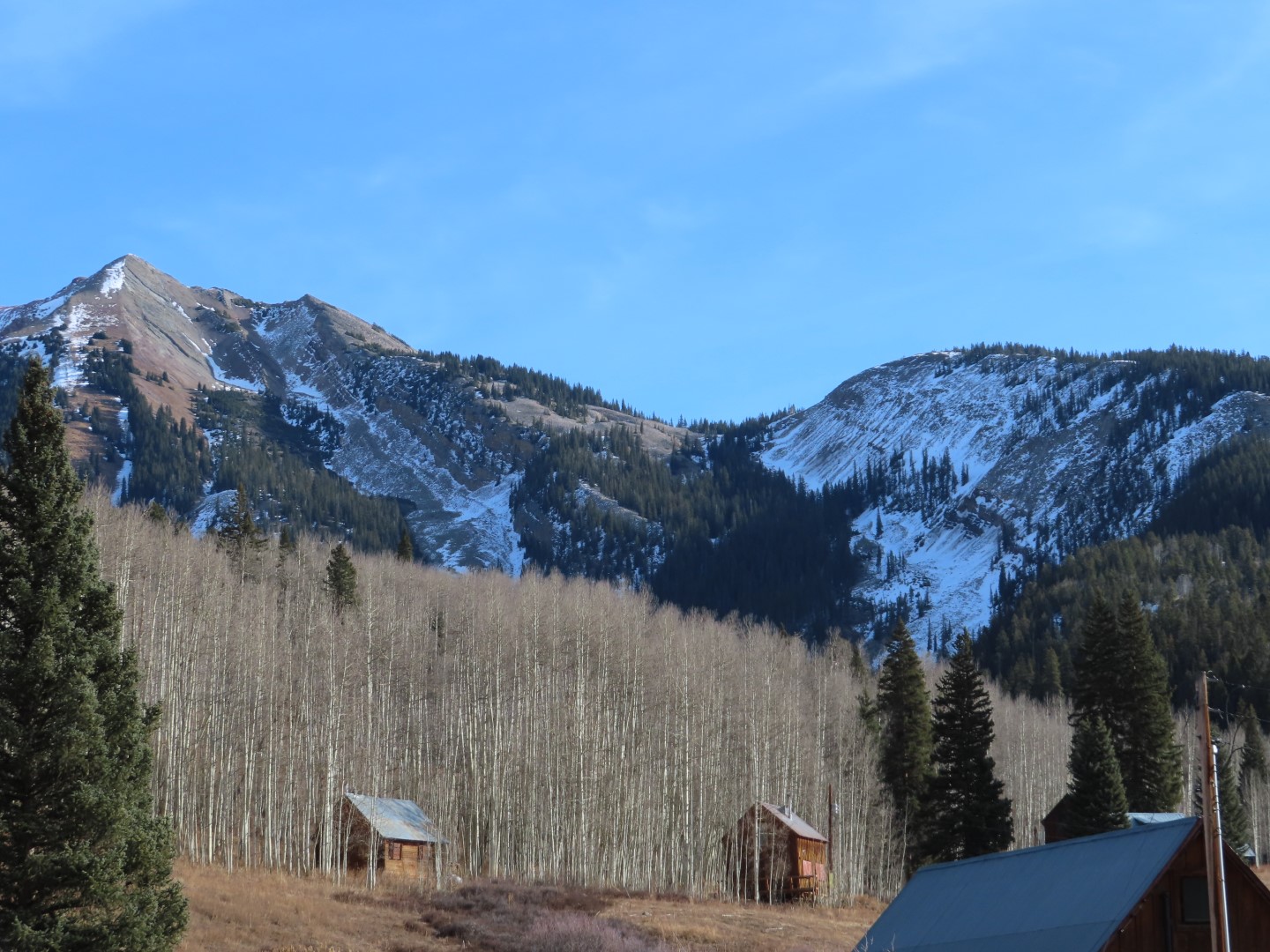
Zone: Northwest Mountains
Route Description: 11:00-15:45
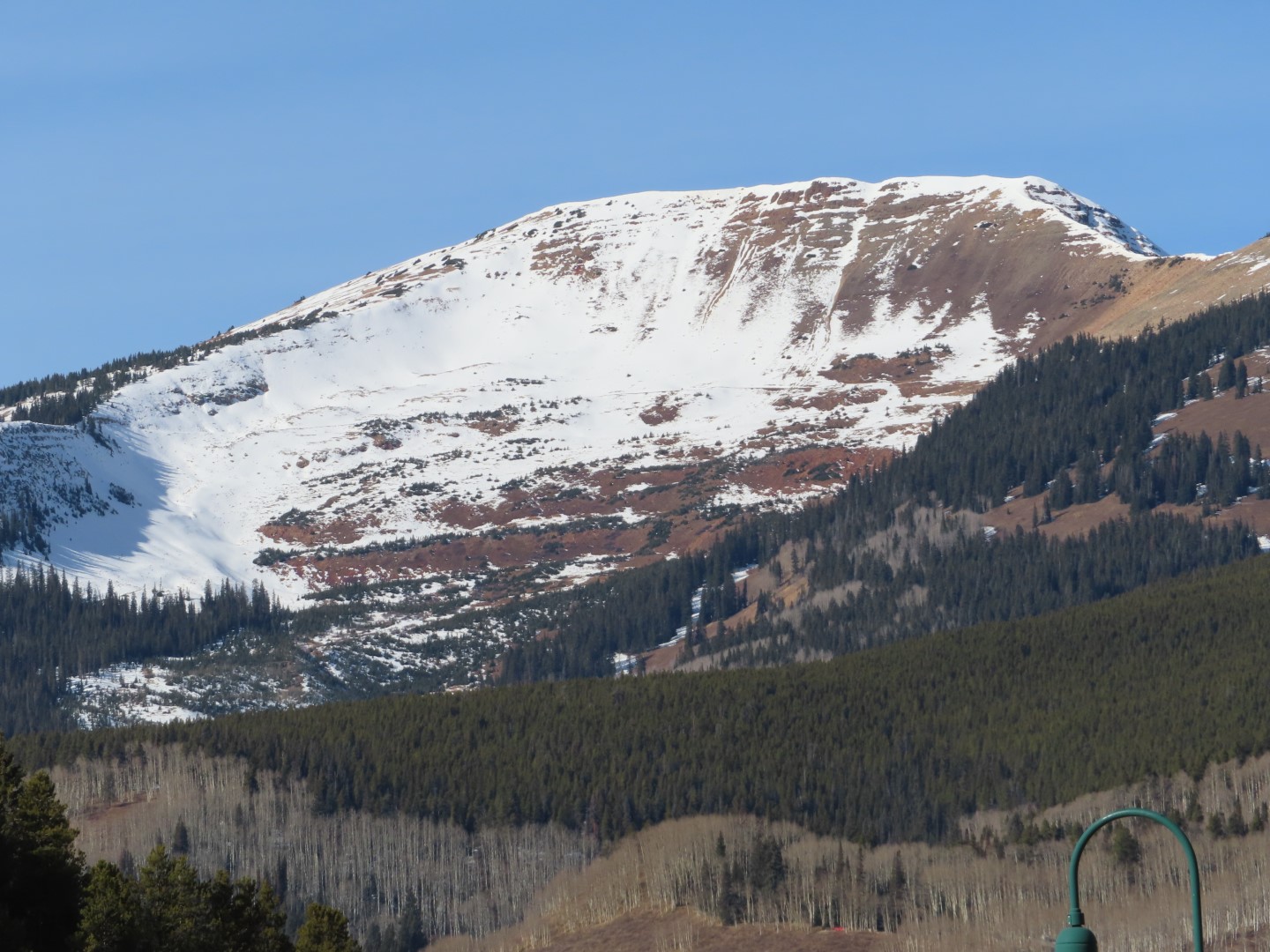
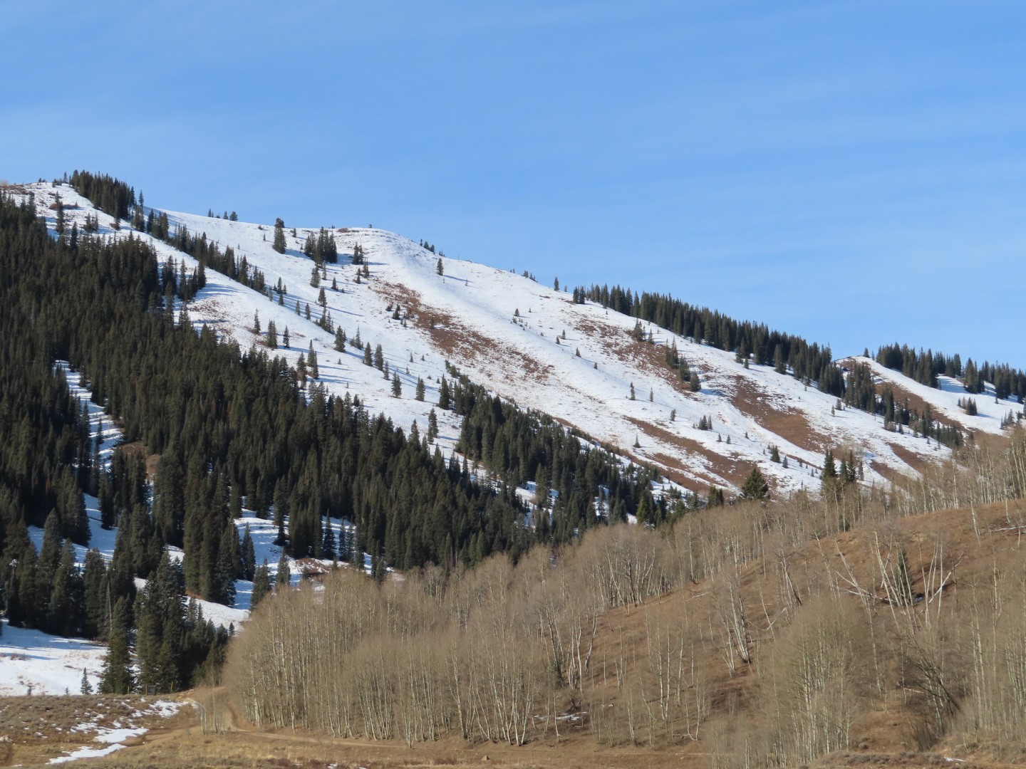
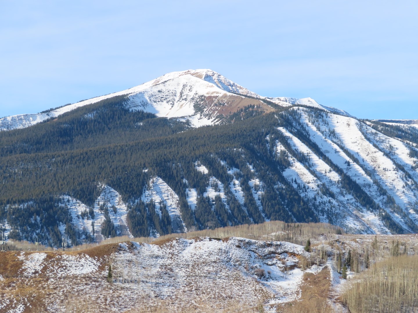
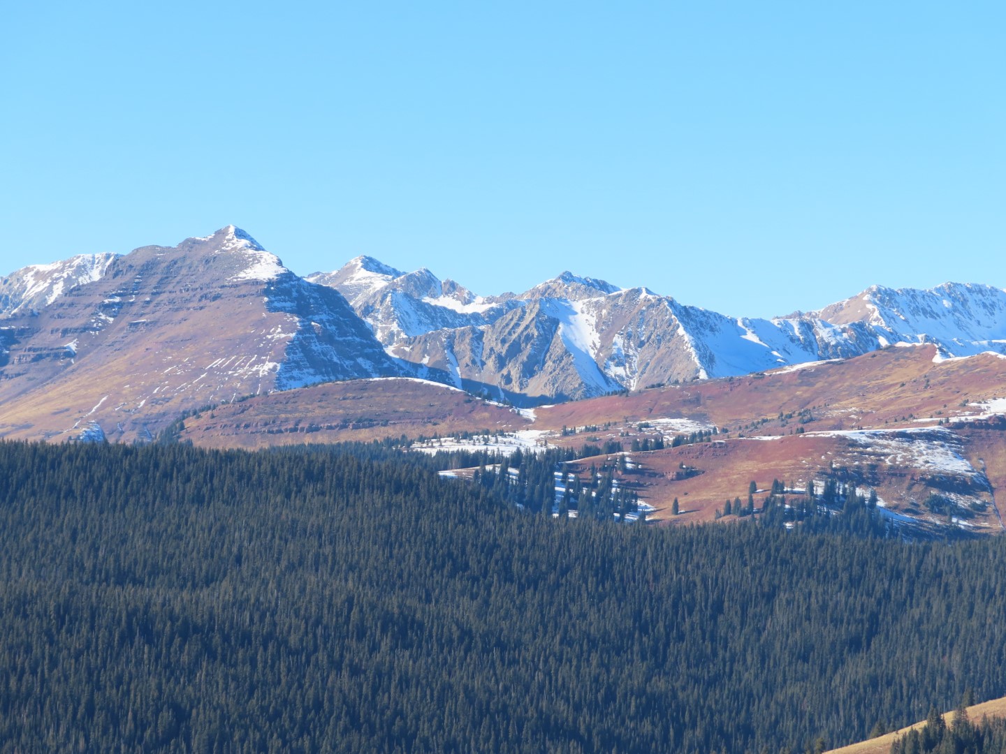
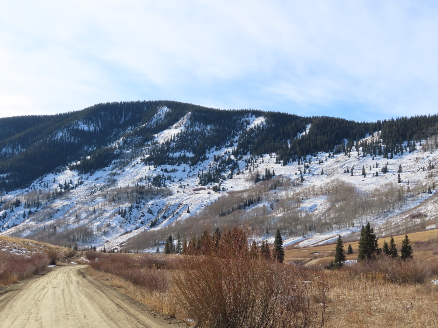
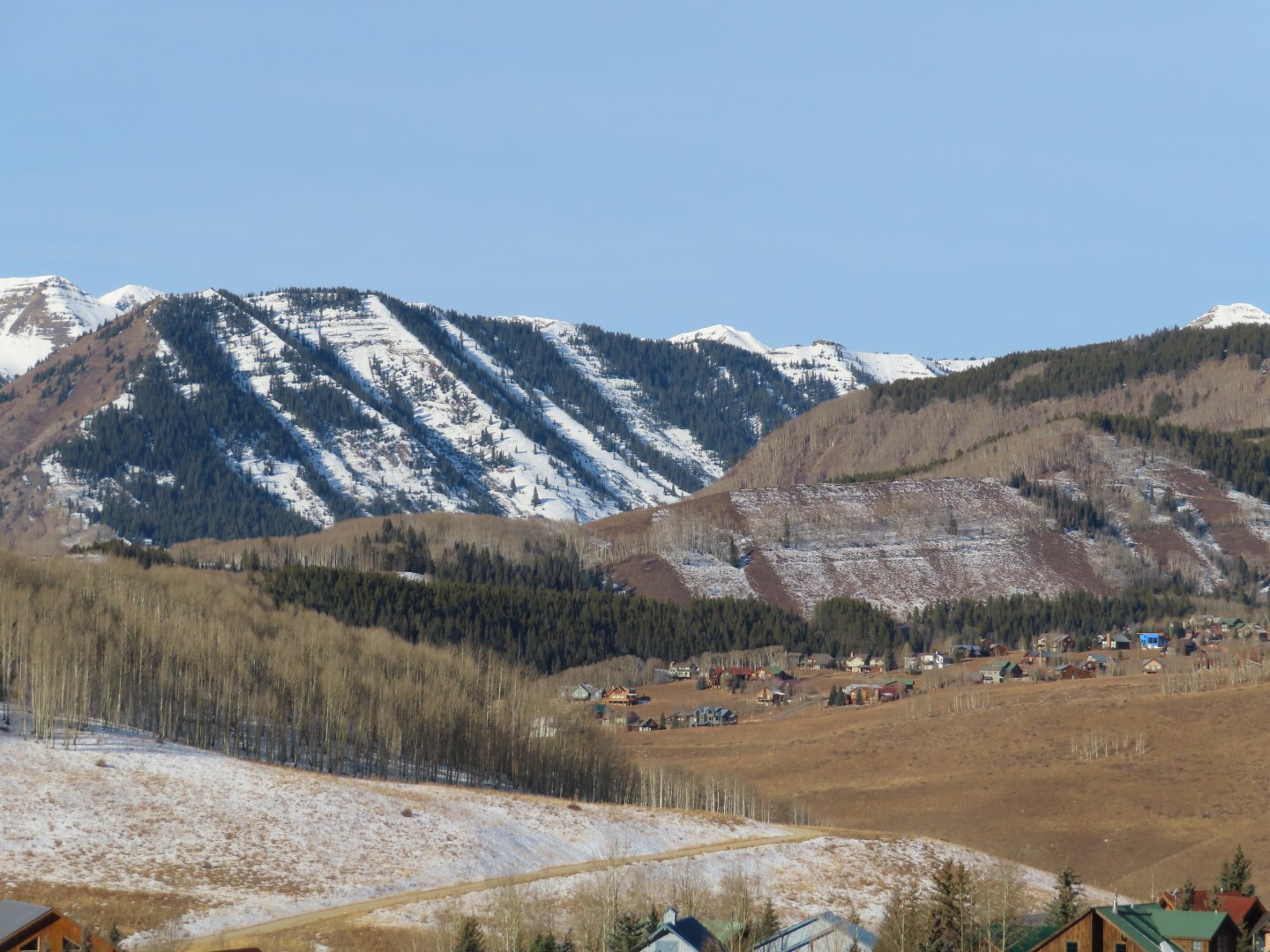
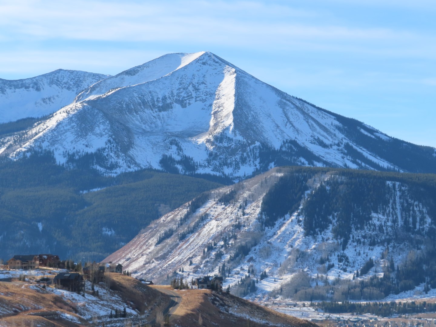
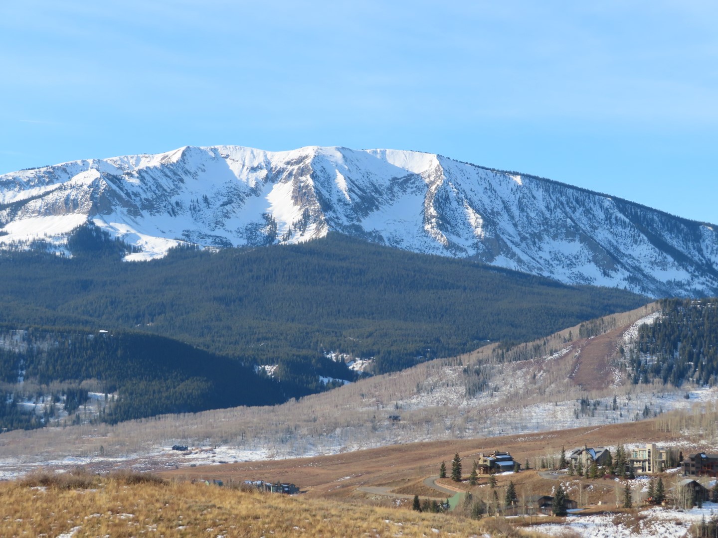
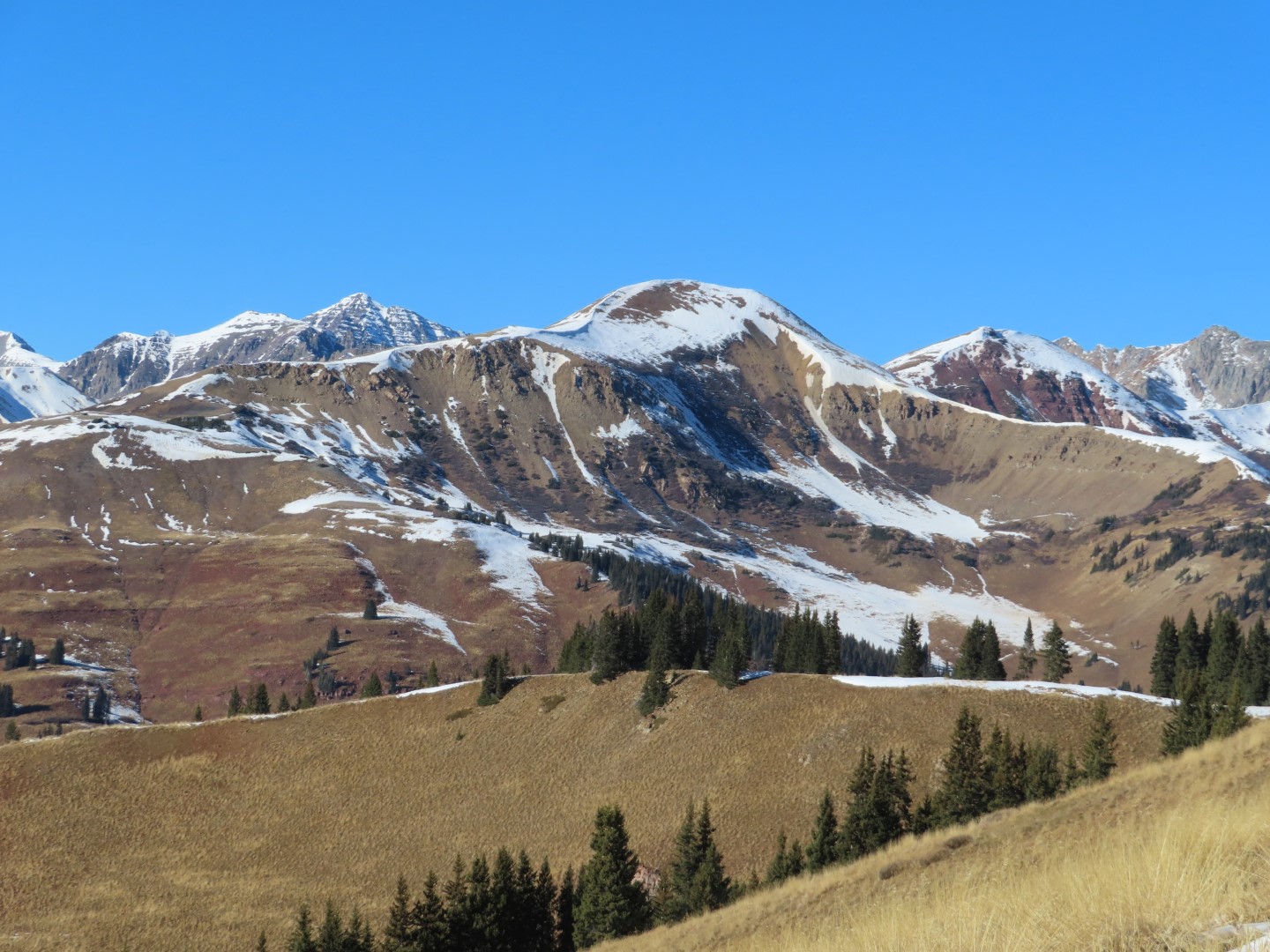
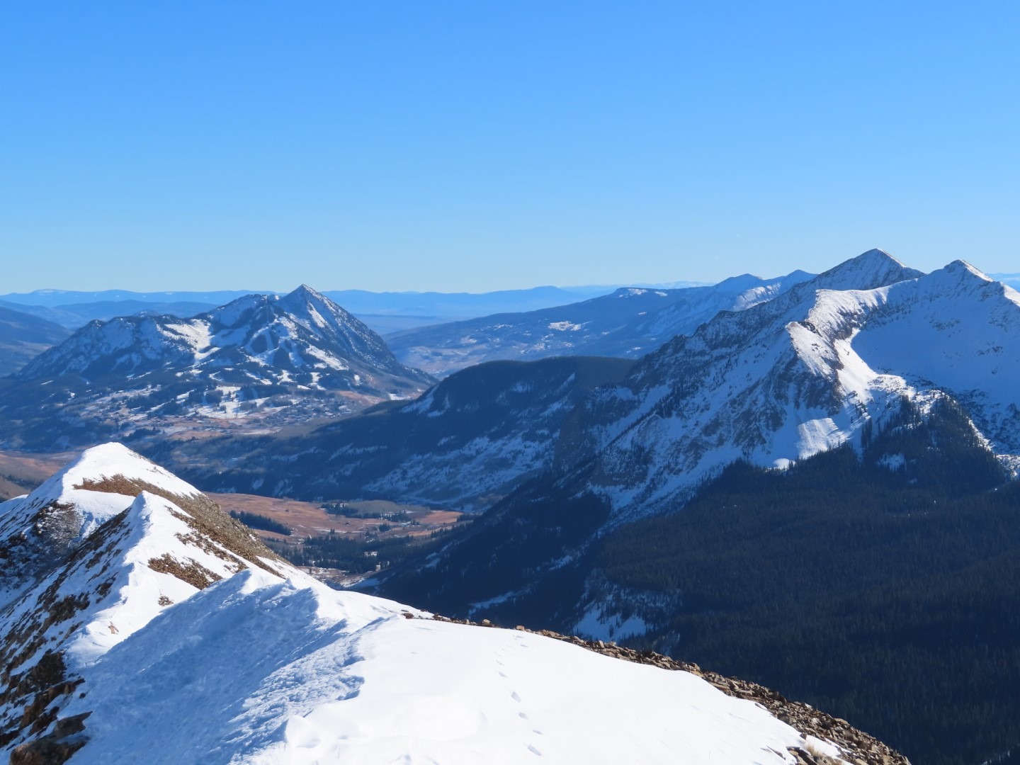
Toured Elk Creek towards Scarp Ridgeline to assess snow instability and coverage before potential storm pulse moves in next week.
Descended same route with spring-like surface conditions back to Kebler Rd.
Sunny, warm day with no alarming results.
Observed avalanche activity: No
Avalanches:
Weather: CLR
Calm winds BTL-NTL, with light W wind near ridgeline 12,000’+.
36F @ 9,400’ (11:00)
42°F @ 11,850’ (13:30)
No Precipitation
No riming observed
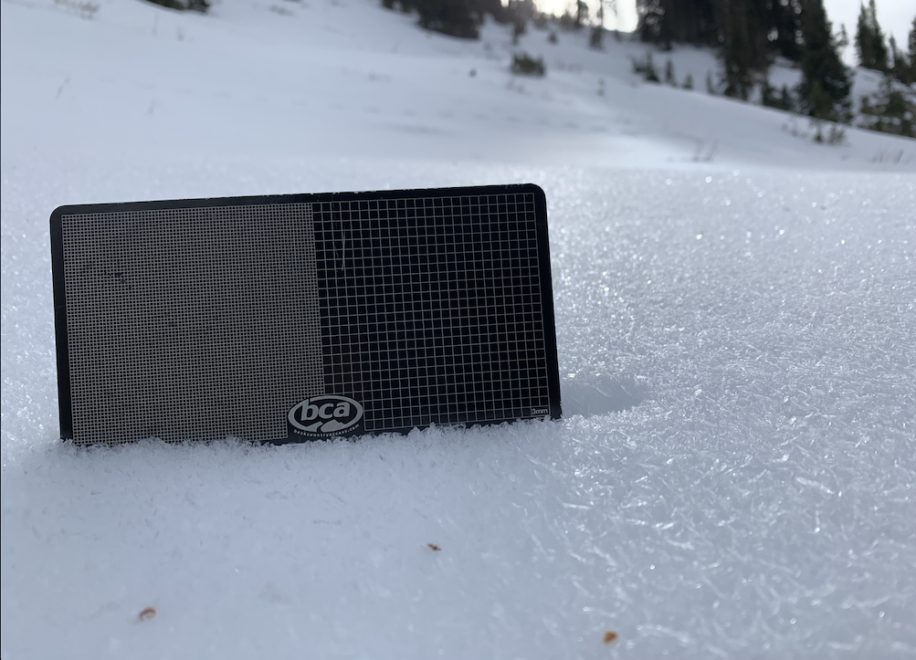
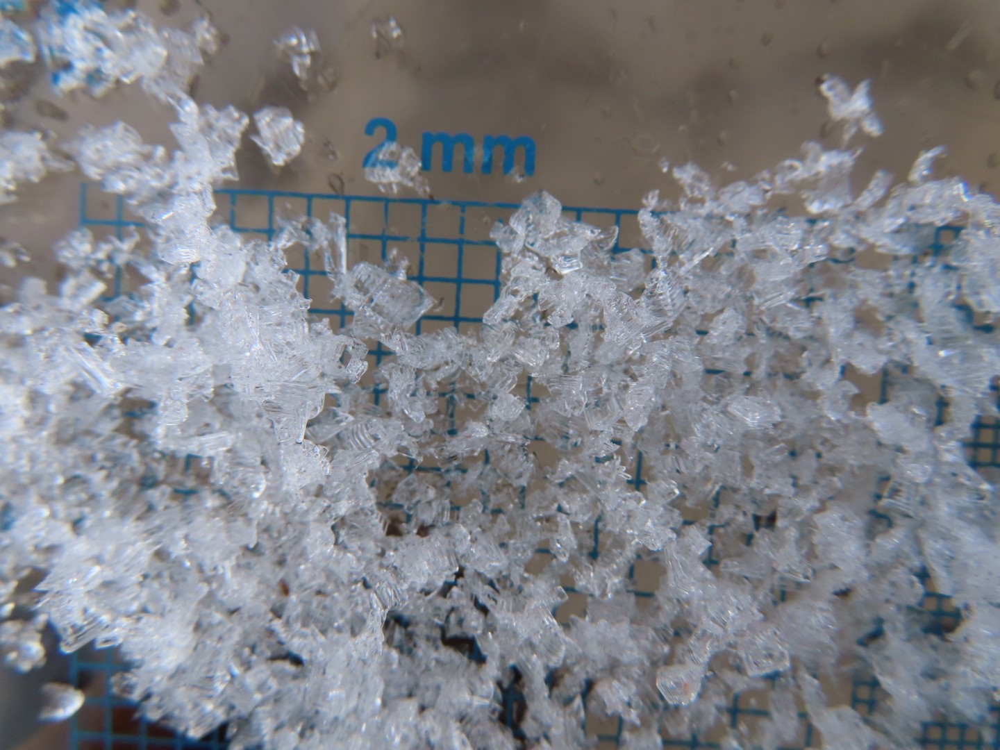
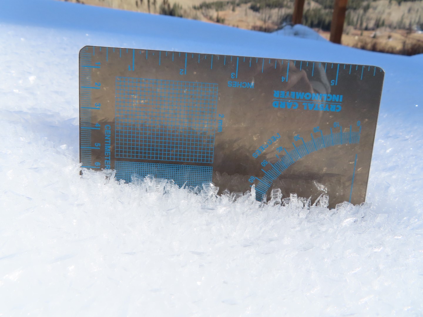
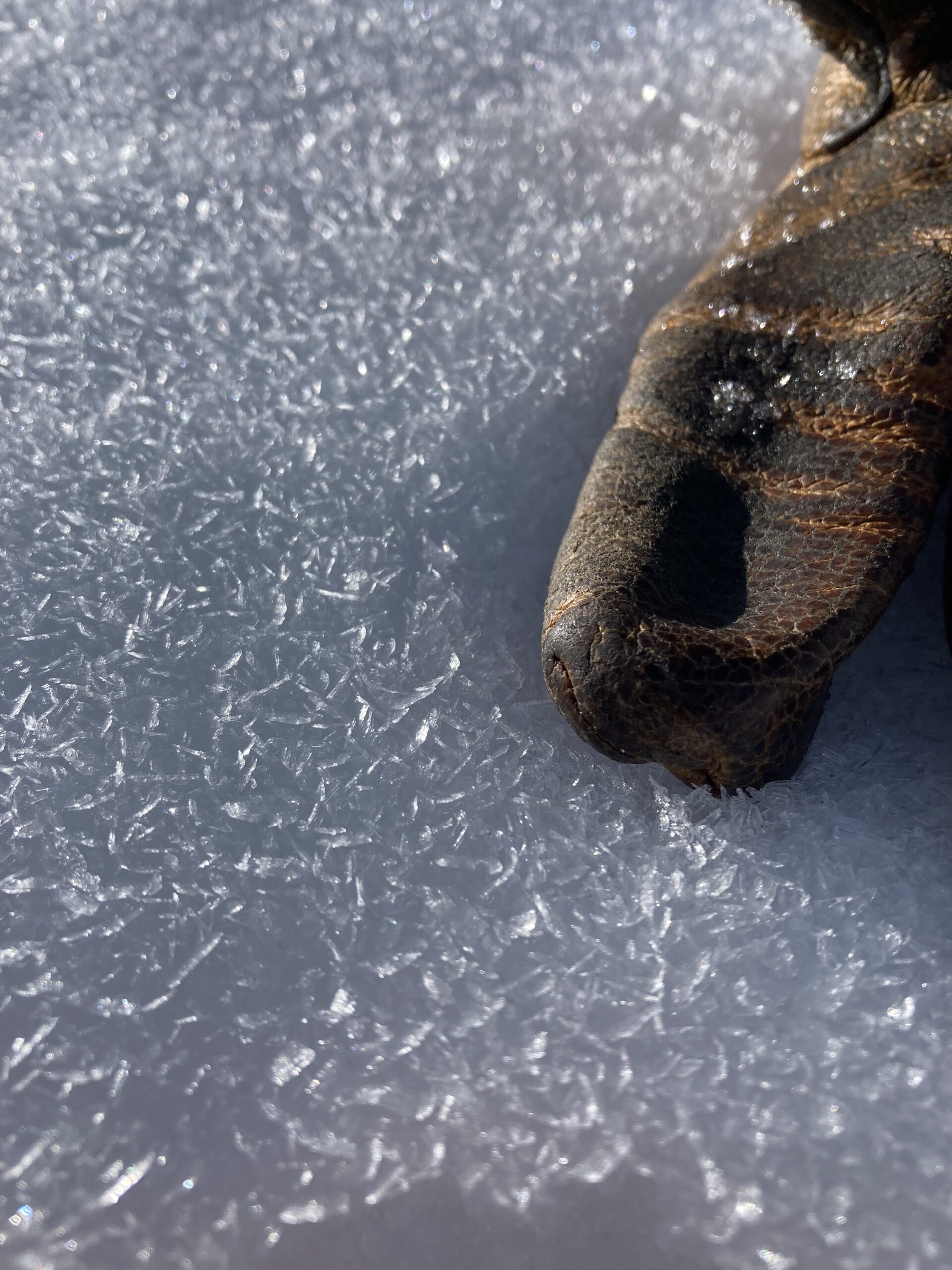
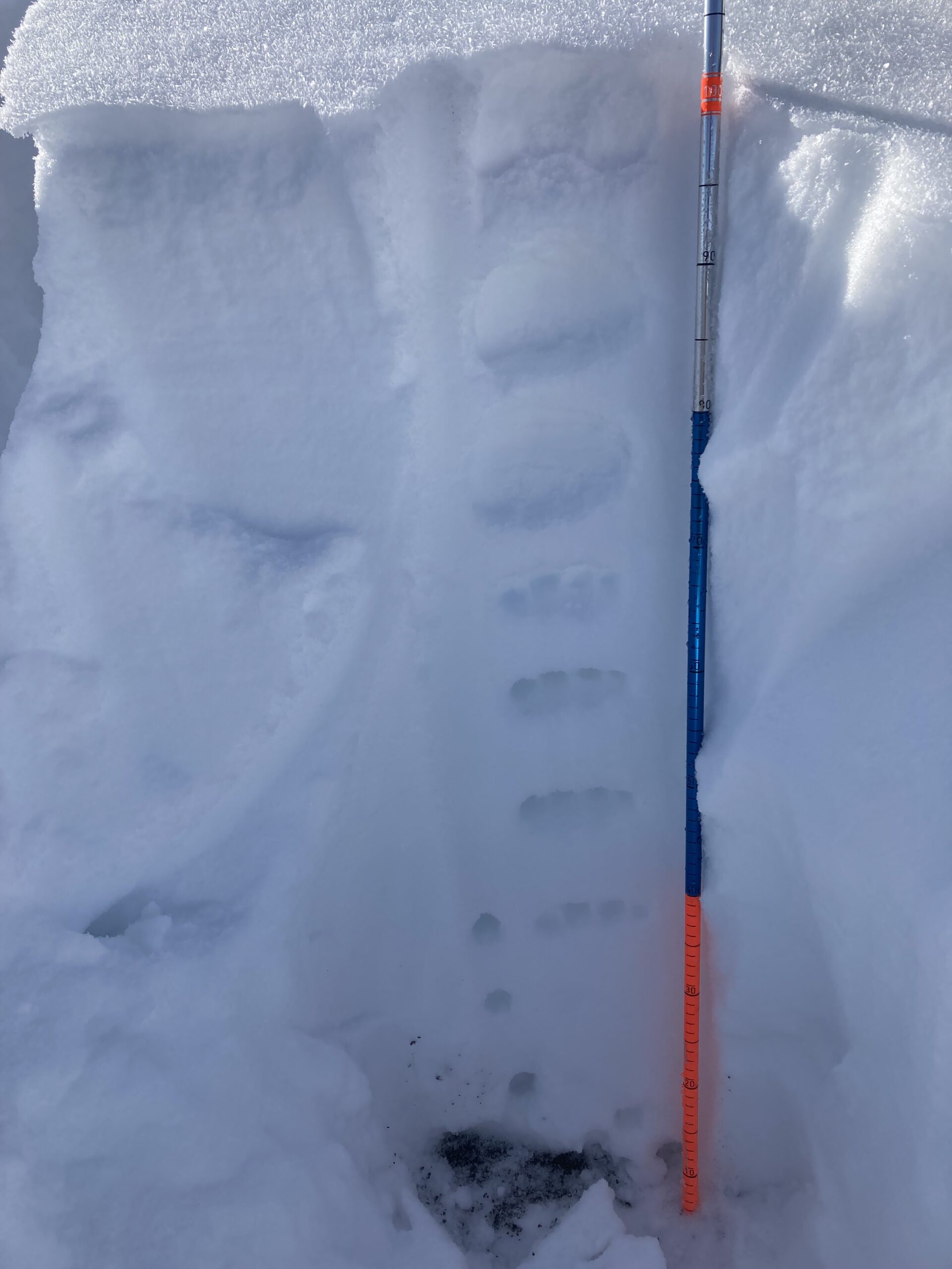
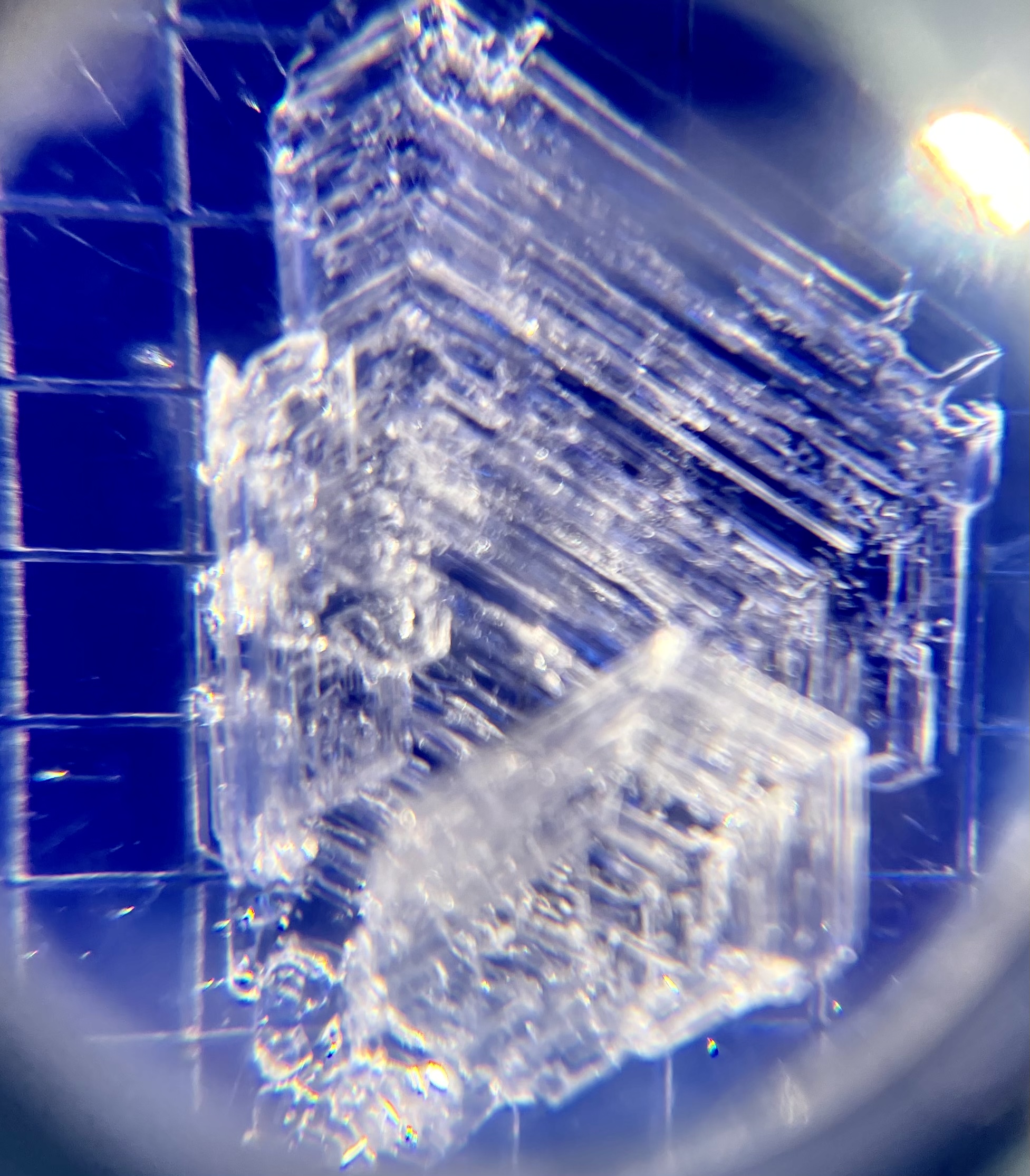
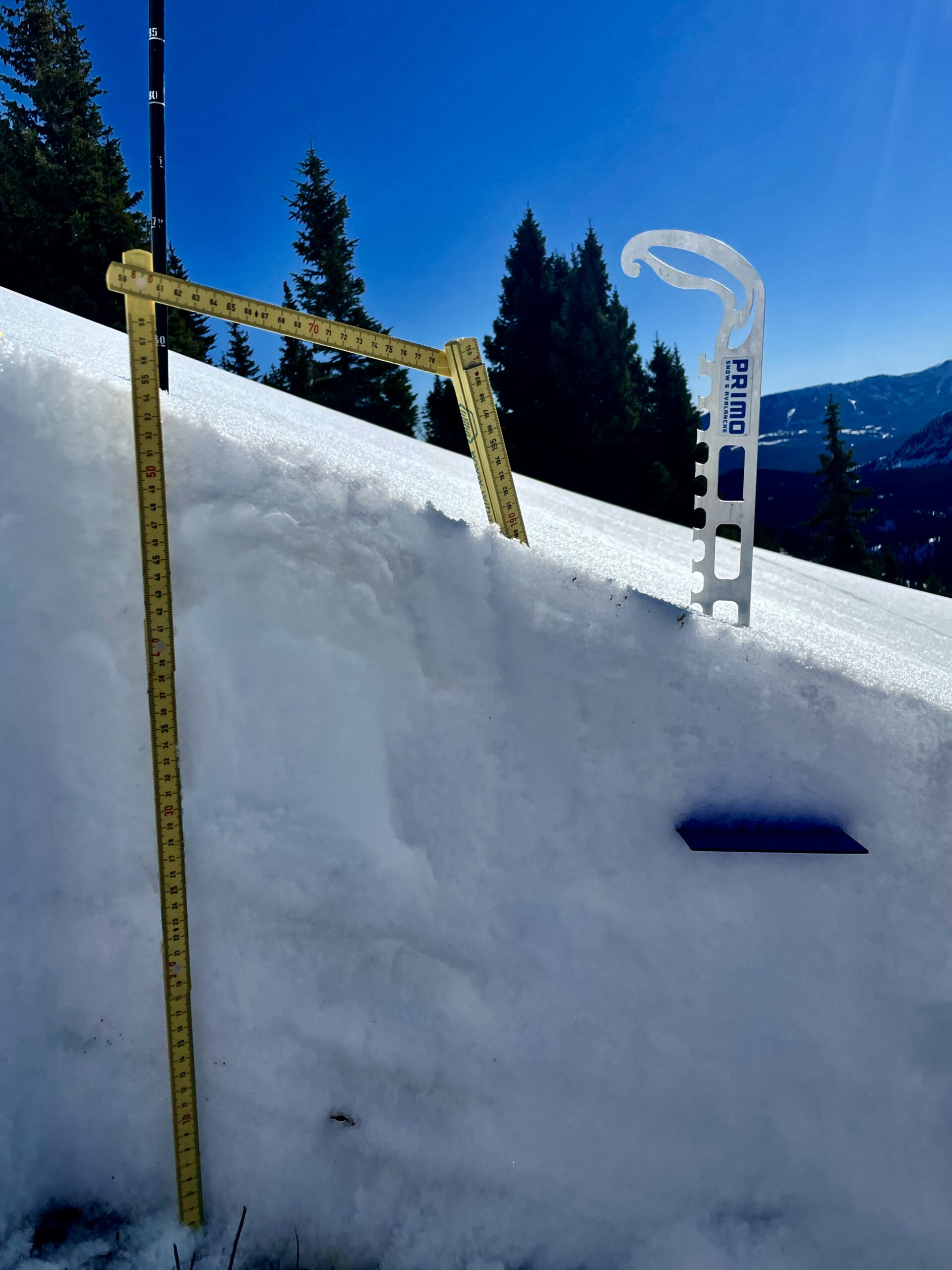
Snowpack: Snow Surface: 2-12mm surface hoar feathers 9,800’-10,800 in sheltered terrain.
Roller balls present at 11:30 on Southerly aspects
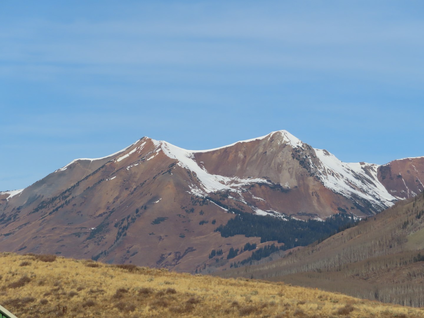
Widespread moist surfaces with a 2-3cm thick MFcr above unsupportive wind stiffened snow and/or NSFs @ 11,000+ in non-shaded areas.
Ski/boot pen: 15cm/ 5-30cm
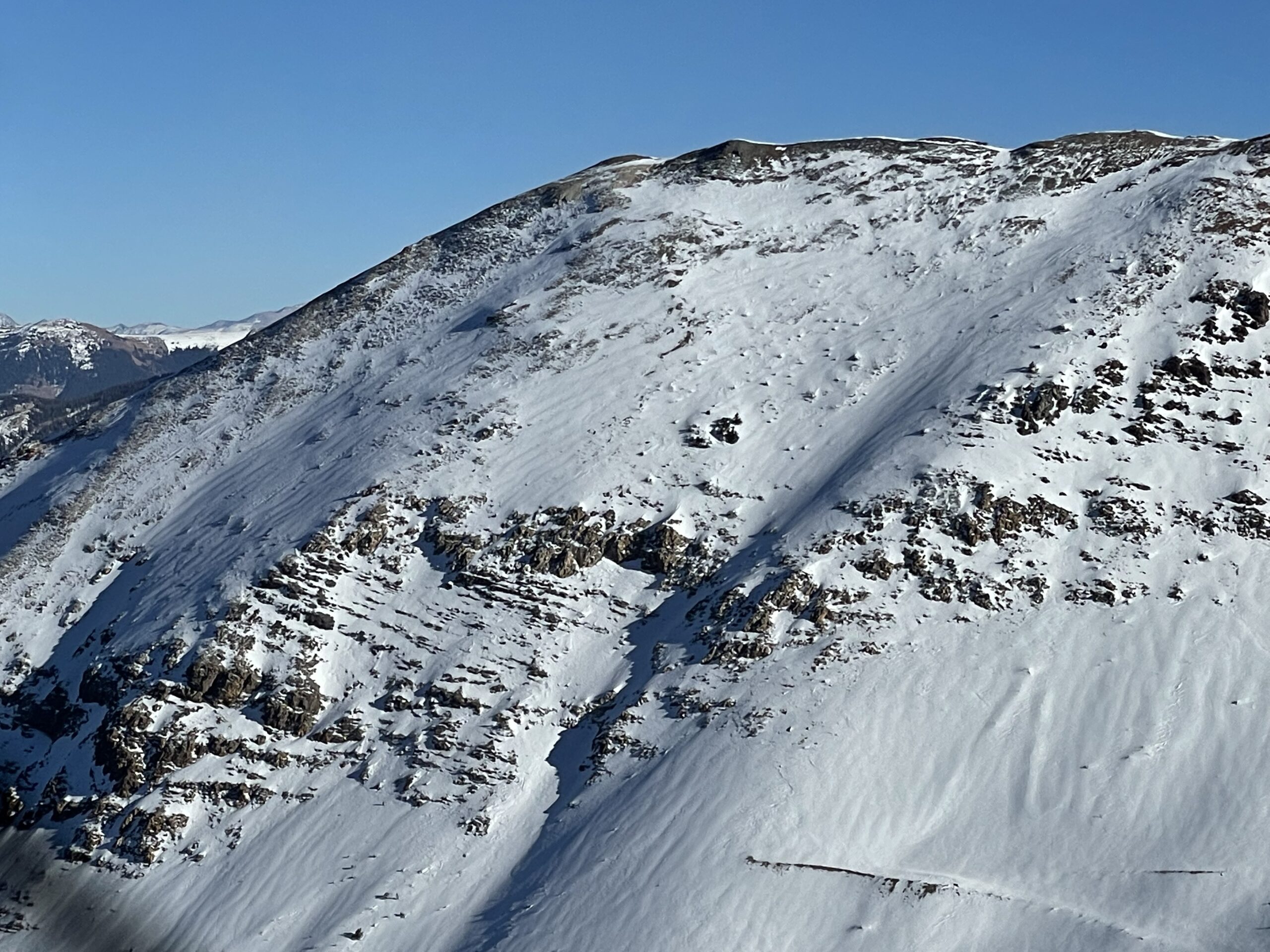
Overall, the snowpack is sporadic and terrain/aspect dependent, specifically NW-NE aspects harboring 10-65cm with an upside-down structure.
Test results showed poor structure, moderate, strength and low propagation propensity due to inconsistent slab layering and continuity.
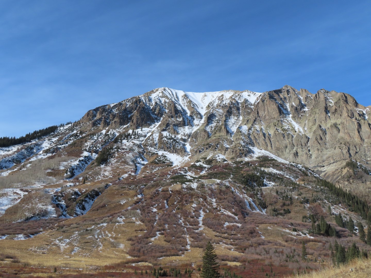
Most wind sheltered areas do not have a slab component, mainly unsupportive and cohesionless facets making up the bulk of the pack. Areas where a slab recipe is found are wind-packed slopes, leeward slopes and ridge lines where assessing for overhead hazard could mitigate exposure.
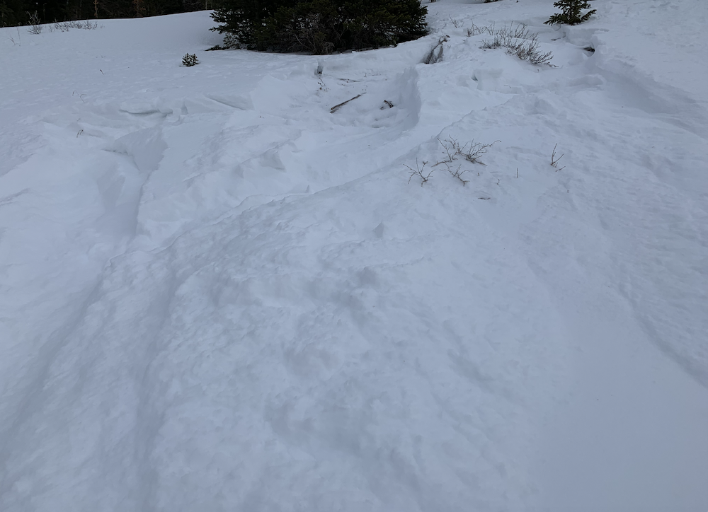
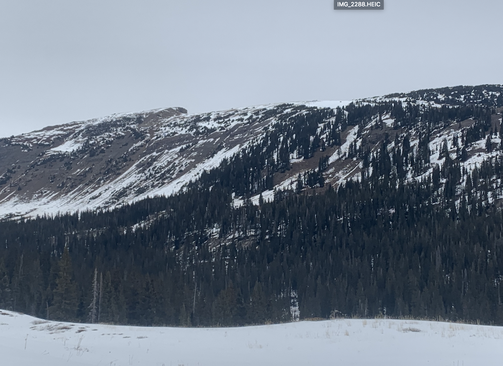
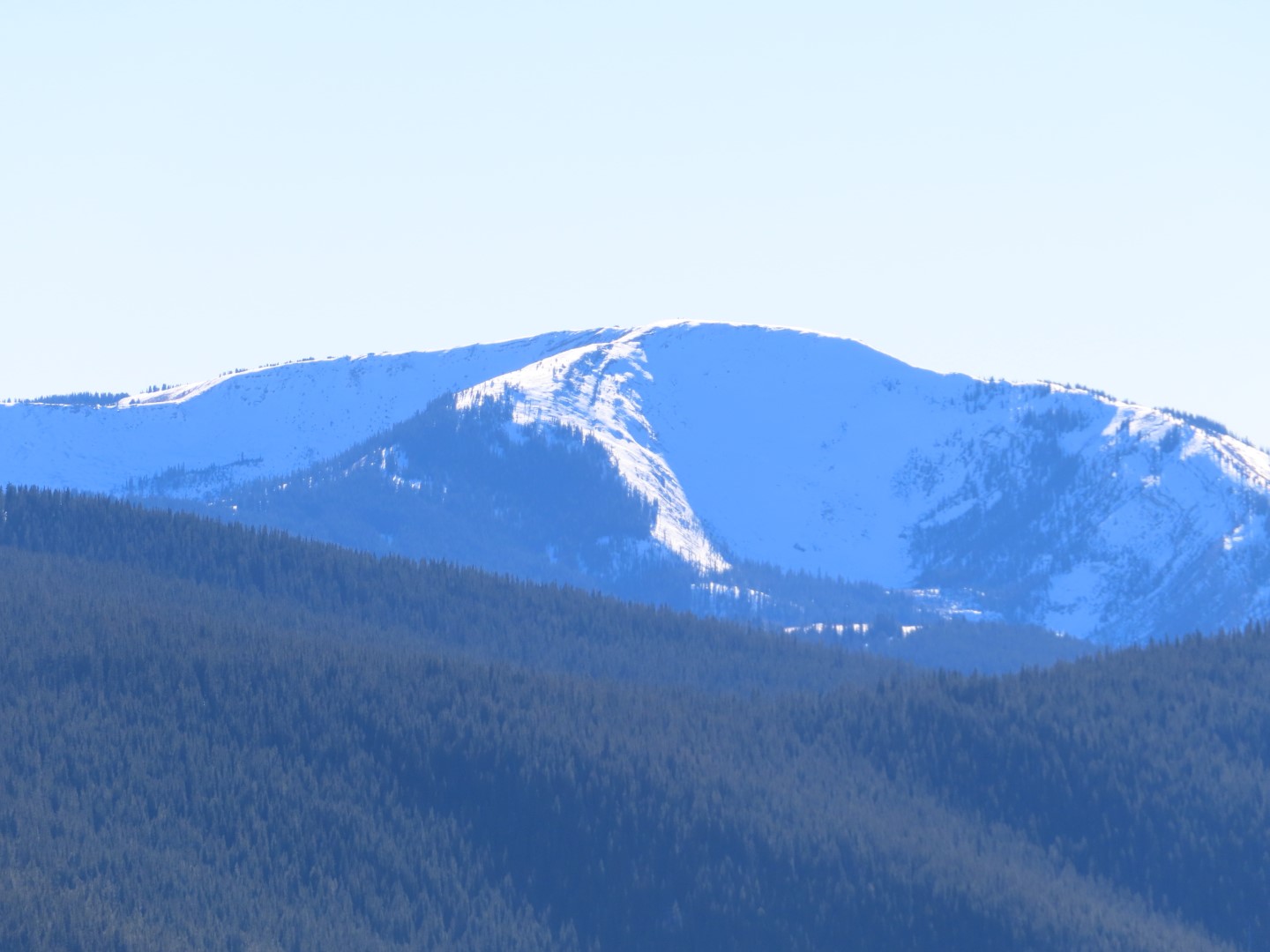
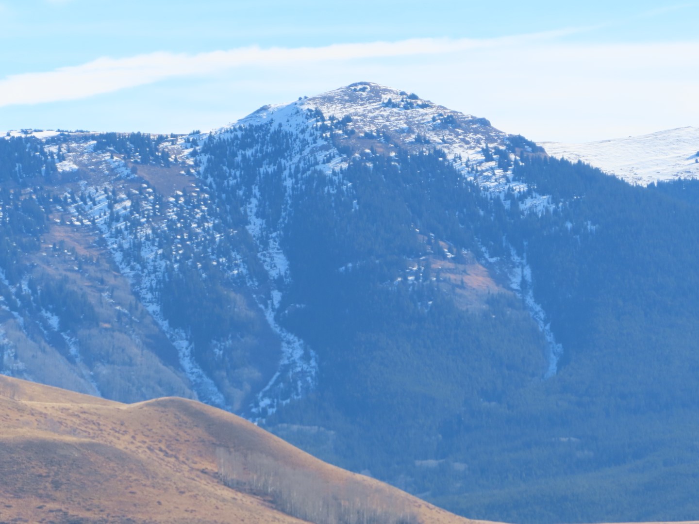
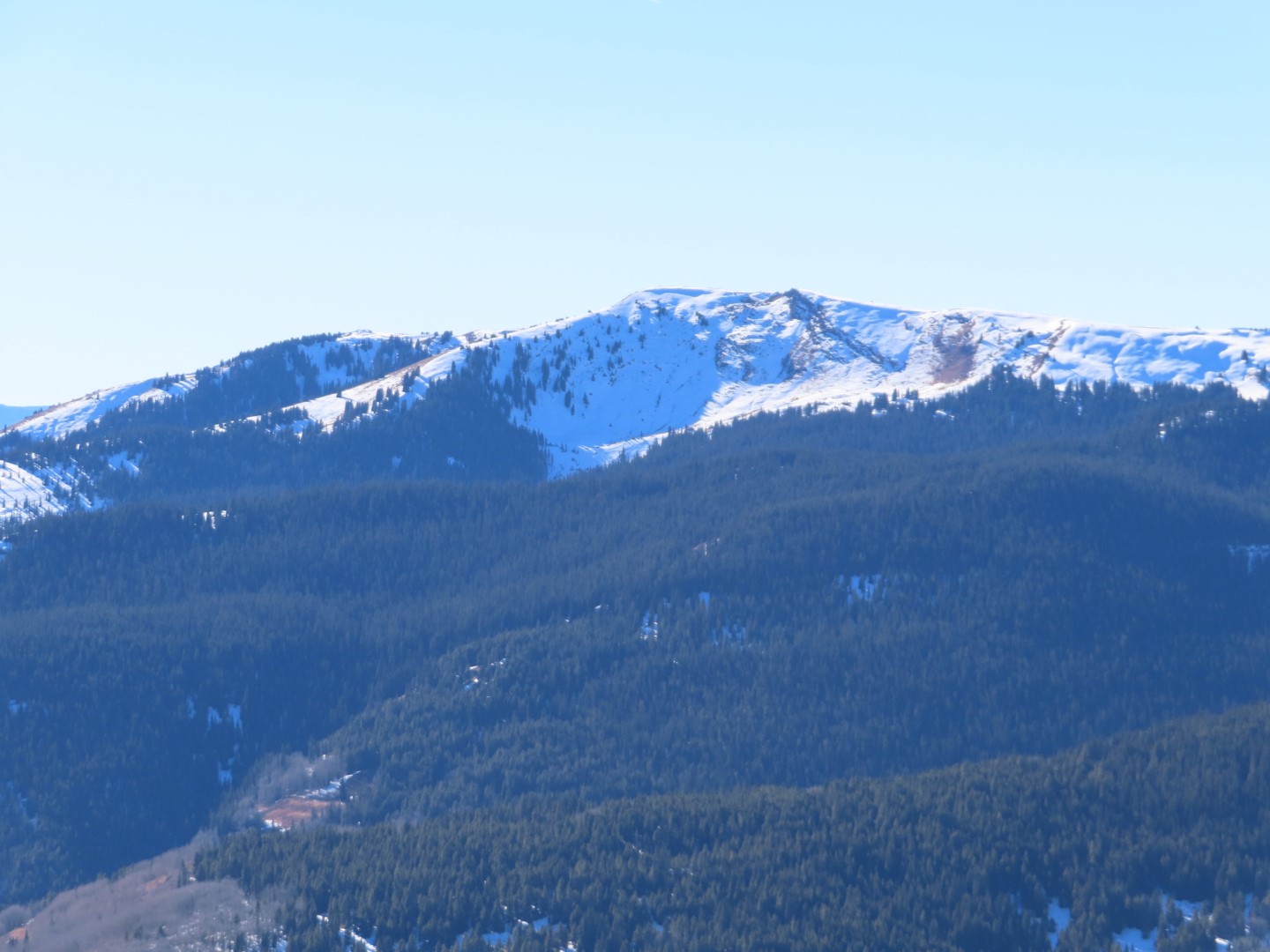
Photos:
5042