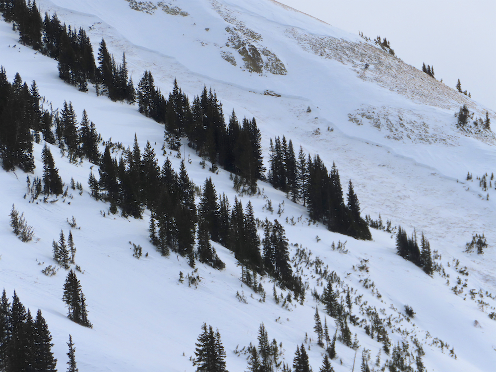
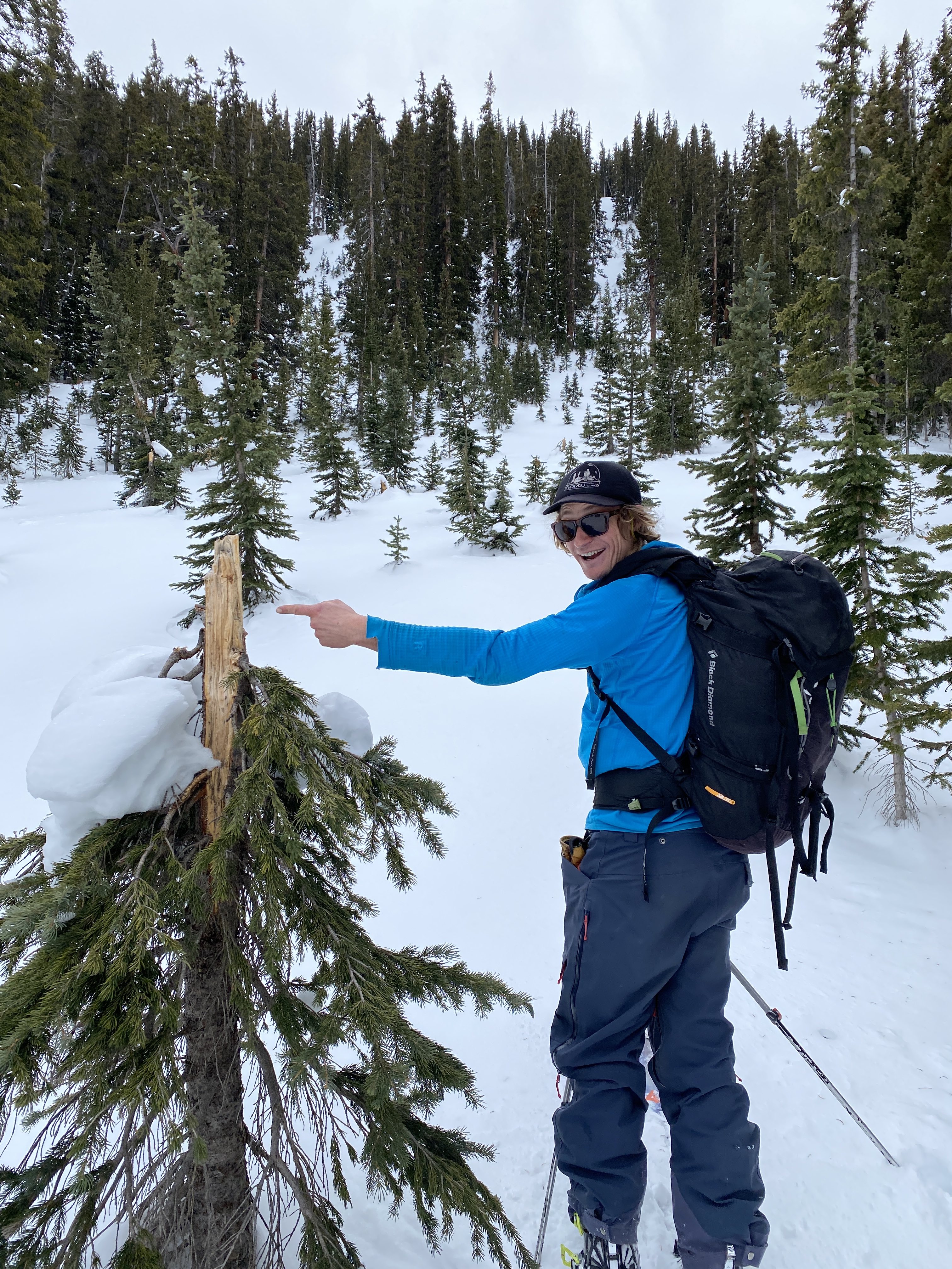
Location: Kebler Pass Area
Date of Observation: 01/10/2020
Subject: Surprise
Aspect: North, East
Elevation: ATL, BTL
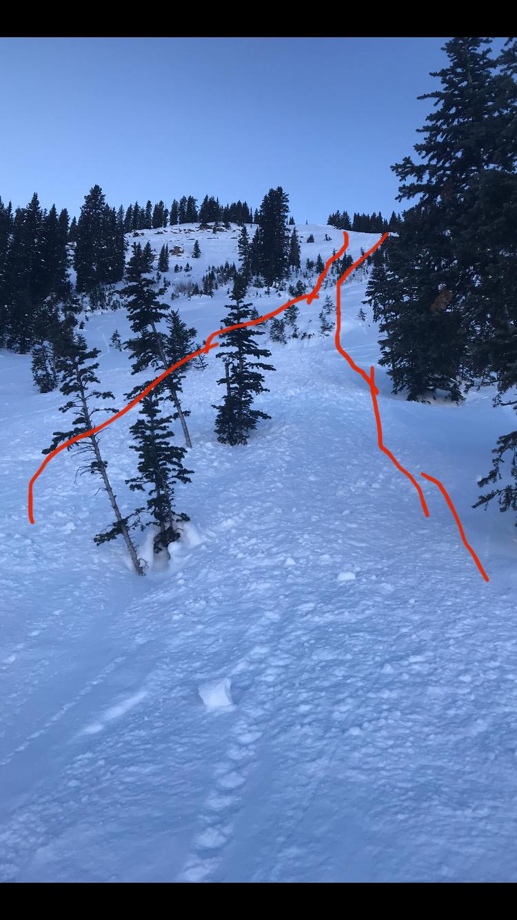
Avalanches: None seen, some small surface sluffs on SE aspect that didn’t go far
Weather: Broken, was snowing pretty good when we left around noon.
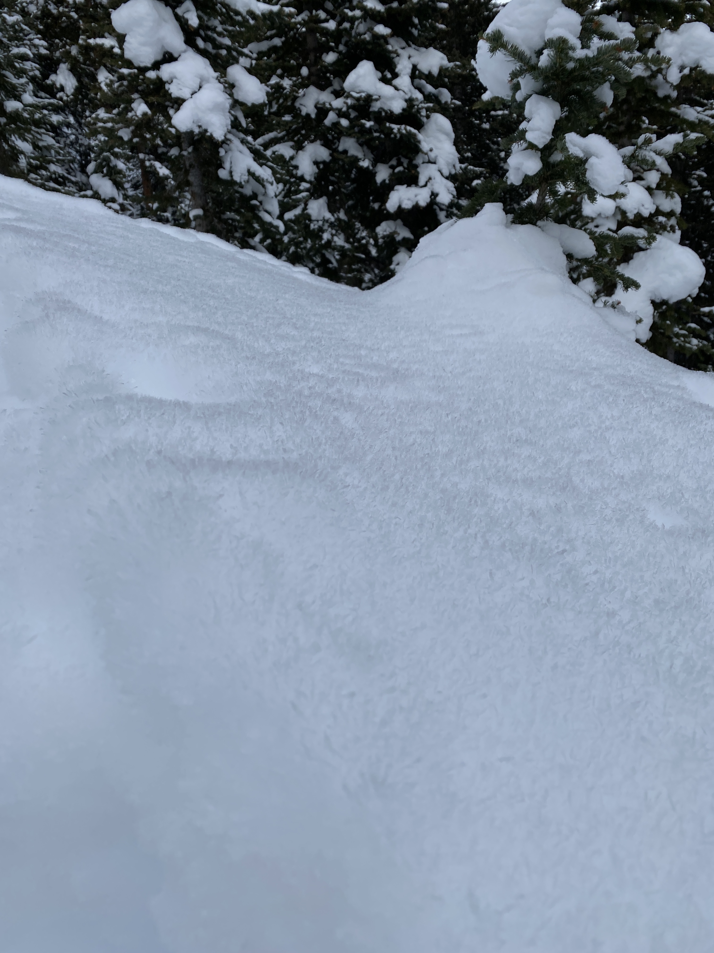
Snowpack: I’d call it 12-14 new total in some spots, light with some minor sluffing from turns in steeper terrain.