Mountain Weather For 11,000FT Friday, 1/17

CB Avalanche CenterWeather

Date: 01/17/2020

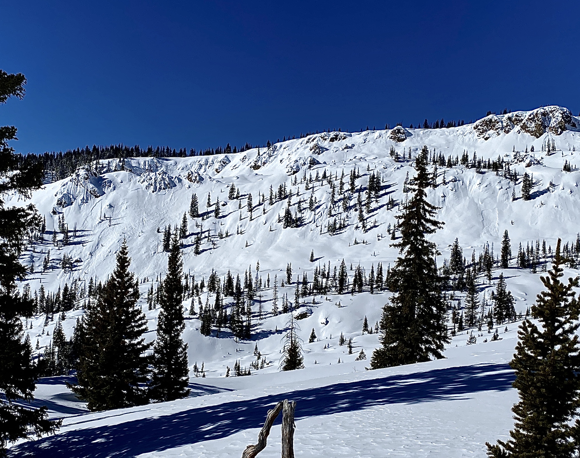
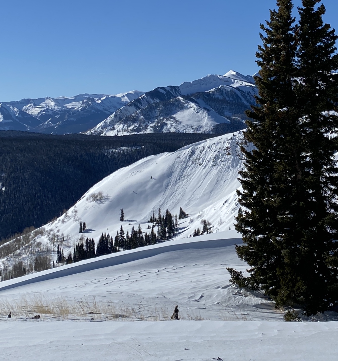
A short-lived but moderate strength storm has started to impact the Crested Butte area early this morning. Snowfall will continue through the morning hours and ramp up quickly as a cold front passes over the area shortly before noon. Snowfall rates during the cold front passage could be close to two inches per hour. Currently, the winds are light from the south but are expected to ramp up later this morning from a more westerly direction. Winds will be plenty strong to drift the new snow around at upper elevations onto easterly aspects. Total snowfall will top out at 8 inches in favored locations.

Snowfall will dry up shortly after the cold front passage and much colder air will slide into place this evening. Saturday looks to be a dry day as a ridge of high pressure begins to build over the area for Sunday. Temperatures will warm under this ridge of high pressure. The next storm is expected to arrive sometime in the middle of next week around Wednesday.

  • Today

    High Temperature: 21 to 25
    Winds/Direction: 15 to 25, G50 WSW
    Sky Cover: Overcast
    Irwin Snow: 5 to 8
    Elkton Snow: 5 to 8
    Friend’s Hut Snow: 4 to 7

  • Tonight

    Low Temperature: -4 to 0
    Winds/Direction: 10 to 20, WNW
    Sky Cover: Partly Cloudy
    Irwin Snow: 0 to 1
    Elkton Snow: 0 to 1
    Friend’s Hut Snow: 0 to trace

  • Tomorrow

    High Temperature: 22 to 26
    Winds/Direction: 6 to 16, WNW
    Sky Cover: Partly Cloudy
    Irwin Snow: 0
    Elkton Snow: 0
    Friend’s Hut Snow: 0

Human Triggered Persistent Slab

CB Avalanche Center2019-20 Observations

Location: Crested Butte Area
Date of Observation: 01/16/2020
Name: Evan Ross
Subject: Human Triggered Persistent Slab
Aspect: East, South East, South
Elevation: 9,000-11,000

Avalanches: Human Triggered a large Persistent Slab Avalanche on a cross-loaded east facing slope at 10,800ft. The slab average 1.5ft thick, was F to 4F hard, and failed in 1.5 to 2mm NSF on the 1/8 interface. A few parts of the avalanche gouged deeper into the snowpack. AMc-SS-R1-D2-O

Weather: Increasing clouds in the morning becoming overcast. Calm winds. Weather stations showed temperatures rising to near 30 at 11,000ft.

Snowpack: Headed to Evan’s Basin to check on recent avalanche activity. I would estimate that many of these slabs ran in the storm snow on non-persistent grains given their size and propagation. Digging near one of those crowns on an east-facing slope, produced a clean shovel shear tests within the recent snow on non-persistent grains. At that test profile site, the elevations was 11,150, east aspect, slope angle was about 34 degrees, and the HS was 120cm. The 1/8 interface consisted of 1mm rounding faceted grains. CT18 RP on the 1/8 interface. The rest of the snowpack in this location wasn’t concerning without a big loading event that could break deeply into that snowpack.

The triggered avalanche was on the same aspect as the above test slope. The differences was a slightly lower elevation, but mainly a cross-loaded slope. The slab above the 1/8 interface was more cohesive, and the interface was noticeably weaker. I’m not 100% sure why the interface was so different between the two locations. My best guess is that the snowpack were the avalanche was triggered, had a below average snowpack height previous to the last wind event.

Mountain Weather for 11,000ft. Thursday January 16th.

CB Avalanche CenterWeather

Date: 01/16/2020

Thursday will mainly see increasing clouds with moisture beginning to stream into Colorado on southwest flow. Temperatures will be a couple of degrees warmer then yesterday and winds look to remain behaved for the day.

My confidence in the next storm has decreased. There are some good looking things with the storm, but it’s not all there. The moisture stream looks to reach our area in the late afternoon or tonight. However, most of the moisture could stay a bit south and east of us. Also, Thursday night we’ll have south winds which aren’t great for us. By Friday morning an upper-level trough will be moving across Colorado. We’ll initially get right fronted by the jet stream which is also not the best location. As that upper-level trough moves across our forecast area, we’ll see a shift in winds to west and eventually northwest. The Jet will be overhead by this point and the atmosphere will be unstable. So we should see a quick shot of high snowfall rates. How long will that last and will the moisture hang around and keep producing snow? Low confidence.

We’ll see ridging by the weekend with an end to snowfall and some clouds moving through the area.

  • Today

    High Temperature: 26 to 30
    Winds/Direction: 5 to 15, S
    Sky Cover: Increasing clouds
    Irwin Snow: 0 to Trace
    Elkton Snow: 0 to Trace
    Friend’s Hut Snow: 0 to Trace

  • Tonight

    Low Temperature: 16 to 20
    Winds/Direction: 10 to 20, S
    Sky Cover: Overcast
    Irwin Snow: 1 to 3
    Elkton Snow: 0 to 2
    Friend’s Hut Snow: 0 to 2

  • Tomorrow

    High Temperature: 22 to 27
    Winds/Direction: 15 to 25 G 50, W
    Sky Cover: Overcast
    Irwin Snow: 4 to 7
    Elkton Snow: 4 to 7
    Friend’s Hut Snow: 2 to 4

Mt Emmons avalanche activity

CB Avalanche Center2019-20 Observations

Location: Crested Butte Area
Date of Observation: 01/15/2020
Name: MR
Subject: Mt Emmons avalanche activity
Aspect: East, South East, South
Elevation:

Avalanches: Forgot to take pictures of the bowl – 2 small windslab avalanches near the center and looker’s right rock bands that didn’t run far. Multiple small avalanches NE aspect near the skin track running down into the bowl.

Moonscape area, evan’s basin, SE to E aspect, see photos. Multiple small to large avalanches.

Snowpack: Crazy wind carnage. Ridge approaching summit near field goal practically stripped bare. Bare spots also down in the bowl and on the eastern ridge above red coon glades.

Glades held a mixture of wind effect, sun crusts, wind stiffened pow, and preserved pow.

Cement Creek Check In

CB Avalanche Center2019-20 Observations

Location: Cement Creek Area
Date of Observation: 01/15/2020
Name: Evan Ross
Subject: Cement Creek Check In
Elevation: 9,000-11,500

Avalanches: Recent natural avalanches included a couple large persistent slabs on northerly facing terrain near and above treeline, and several small wind slabs primary on easterly facing slopes.

Weather: Few clouds and calm winds.

Snowpack: The general summary would be a variable snowpack that is heavily wind effected on everything but the most protected lower elevations areas. I didn’t encounter any concerning snowpack structure at those lower elevations slopes. Cross-loading at those lower elevations didn’t appear to be an issue either. At mid and upper elevations the snowpack is raked by the recent winds. Lots of bare ground, wind-board, or stubborn hard slabs. Easterly facing slopes had the most continuous snowpack. For the area, these wind-loaded easterly facing slopes would be the most concerning slopes for triggering a persistent slab avalanche.

Mountain Weather for 11,000ft. Wednesday January 15th.

CB Avalanche CenterWeather

Date: 01/15/2020

Dry weather is in the forecast for Wednesday. Ridgeline winds yesterday saw gusts in the 50 to 80mph range from the SW. Those winds have eased overnight and will continue that trend today. High temperatures will be similar to yesterday and land in the mid to upper 20’s at 11,000ft.

Thursday will start similar to Wednesday for the first half of the day. Clouds will be increasing come afternoon as the next trough of low pressure begins pulling moisture into the area on southwest flow. Precipitation may start late in the afternoon, but doesn’t really get going until Thursday night into Friday. This could be a good window of snow coming up. Ideally, the trough would sag a bit further south so we don’t get right fronted, but we still have storm energy coming in, a southwest wind direction that finishes northwest decent available moisture. Storm totals by Friday afternoon look to be in the 6 to 12” range at the moment.

  • Today

    High Temperature: 24 to 28
    Winds/Direction: 5 to 15, G25 WSW
    Sky Cover: Mostly Clear
    Irwin Snow: 0
    Elkton Snow: 0
    Friend’s Hut Snow: 0

  • Tonight

    Low Temperature: 10 to 14
    Winds/Direction: 5 to 15, SSW
    Sky Cover: Partly Cloudy
    Irwin Snow: 0
    Elkton Snow: 0
    Friend’s Hut Snow: 0

  • Tomorrow

    High Temperature: 26 to 30
    Winds/Direction: 5 to 15, SSW
    Sky Cover: Increasing clouds
    Irwin Snow: 0 to Tace
    Elkton Snow: 0 to Trace
    Friend’s Hut Snow: 0 to Trace

Gothic Area and Fresh Wind Slabs

CB Avalanche Center2019-20 Observations

Location: Crested Butte Area
Date of Observation: 01/14/2020
Name: Evan Ross
Subject: Gothic Area and Fresh Wind Slabs
Aspect: North East
Elevation: 9,400ft-10,200ft

Avalanches: Couple of fresh wind slabs to D2.5. The spork ran this morning, while the others in the last 12 hours.

Gothic Mountain, The Spork. SE terrain, but the slab pulled from the cross-loaded easterly facing portion of the start zone. This path has run multiple times this winter so it doesn’t have the full seasonal snowpack. Crown estimated to be near a meter deep and releasing around the old snow surface. SS-N-R2-D2.5

Gothic Mountain, East Face. E, 12,500ft. Fresh wind slab that propagated slightly wider lower in the bowl. SS-N-R2-D2.5

Rustlers Gulch, SE, 12,600ft. Estimated D2 slab, but viewed from very far away with little detail.

Weather: Few Clouds, light wind down low with continued snow plums off the high peaks through the day.

Snowpack: Expected to find some concerns with cross-loading, but in the end, no new slab issues were found. Maybe higher in the terrain, there was something more concerning. At 10,000ft on northeasterly facing slopes, faceted grains were down about 18cm. The new snow wasn’t concerning, above the old snow surface from last week. It simply added to the loose snow avalanche potential or could release as a very soft slab in very steep or unsupported terrain. Deeper new snow accumulations or cross-loading at slightly higher elevations could have created more of a slab concern. If SH was present in this snowpack, it was surrounded by other weak faceted grains and not a layer of concern.

HS was in the 90-120cm range. Old persistent slab structure could still be felt lingering in the snowpack. This structure wasn’t making any noise or showing obvious signs of instability. While the majority of the most concerning terrain features in this area had previously avalanched this season with old crowns still visible.

Avalanche Obs from Slate Sled and Truck Tour

CB Avalanche Center2019-20 Observations

Location: Crested Butte Area
Date of Observation: 01/14/2020
Name: Eric Murrow
Subject: Avalanche Obs from Slate Sled and Truck Tour
Aspect: North, North East, East, South East, South, South West, West, North West

Avalanches: A substantial number of avalanches observed around Slate River Valley and terrain visible from roadways around Crested Butte. Natural avalanche activity was largely a product wind-loading from the last storm at upper elevations. Do not believe I spotted any below treeline avalanches today. Most avalanches appeared to only involve the recent storm snow from the past 5 days, propagation was fairly limited. A number of these avalanches are repeat offenders that failed earlier in the winter. One avalanche in Axtel’s Green Lake Bowl failed sometime between 3pm and 440pm. Avalanches up to D2 in size were observed off Scarps Ridge(NE), Redwell Basin(NE,E), Peeler Basin(NE), Schuylkill Ridge(NE), Cinnamon Mtn(S), Angel Pass(NE), Purple Ridge(S), Gothic Mtn(E,SE,SW), Mount Bellview(S,E), Red Ridge(S,E), WSC Peak(S), Deer Creek(S), Teocalli(debris in SE gully), Whetstone’s Hidden Lake Bowl(NE), Axtel’s Green Lake Bowl(NE). See photos for a selection of observed avalanches.

Weather: Mostly clear skies. Cold temps in the morning at valley bottom quickly warmed up before noon. Winds at valley bottom were light, but lots of flagging off ridgetops and summits all day long with continued loading for near and above treeline slopes from southwest winds.

Photos:

Another human triggered avvy

CB Avalanche Center2019-20 Observations

Location: Kebler Pass Area
Date of Observation: 01/13/2020
Name: Pat
Subject: Another human triggered avvy
Aspect: South East
Elevation: 9500′

Avalanches: Triggered a small but deep slab avalanche on a steep and short roll at the very end of the Ponytail Glades descent just above the Kebler trailhead. Depth of slab appeared to be about 2 feet, and it broke on a very pronounced layer, presumably the surface hoar layer about 70cm deep. This activity reflected our observations while skinning up: early in the morning, the snow in this spot was soft and consistent. At the top of Ponytail, we observed whumphing and shooting cracks as we traversed into westerly-facing wind-affected aspects. Upon reaching the location of the avalanche, our previous skin track had been entirely scoured away, and this was where the trigger occurred.
 
Weather: Calm, snowy in the morning around 10-11am, with increasing winds from the west around 12-2pm.

Snowpack: Soft, light, consistent 1 ft of dendrite pow in the morning, and heavier with a wind crust in the afternoon.

Photos:

Small skier-triggered avalanche from 1/13

Mountain Weather for 11,000ft Tuesday 1/14

CB Avalanche CenterWeather

Date: 01/14/2020

Pheww….yesterdays storm ramped up quickly and dropped a very healthy shot of precipitation for most of the forecast area. Snow totals from yesterday range from 8″ to 15″ which fell on top of another 2″ to 12″ of snow that had accumulated since Thursday, January 9th. The storm began to dissipate in the afternoon for most locations and lingered a bit longer for areas in Kebler Pass and Paradise Divide. Overnight winds continued to blow from the SW with strength; gusts pushed near 50 mph at Scarp Ridge. Skies have cleared overnight and anticipated to remain mostly clear today. Those pesky winds will remain elevated again today from the SW and will likely transport a bit more of the recent snowfall to leeward slopes.

A disturbance will pass to the north of Colorado this afternoon, but precipitation and cloud cover will largely remain north of I-70. A ridge of high pressure will build across the area through Thursday before an upper-level trough begins to impact the Four Corners area on Friday and Saturday. It looks like the weather pattern will stay active this upcoming weekend.

  • Today

    High Temperature: 23 to 27
    Winds/Direction: 13 to 23, SW
    Sky Cover: Mostly Clear
    Irwin Snow: 0
    Elkton Snow: 0
    Friend’s Hut Snow: 0

  • Tonight

    Low Temperature: 4 to 8
    Winds/Direction: 10 to 20, SW
    Sky Cover: Partly Cloudy
    Irwin Snow: 0
    Elkton Snow: 0
    Friend’s Hut Snow: 0

  • Tomorrow

    High Temperature: 25 to 29
    Winds/Direction: 5 to 15, SW
    Sky Cover: Mostly Clear
    Irwin Snow: 0
    Elkton Snow: 0
    Friend’s Hut Snow: 0