Location: Kebler Pass Area
Date of Observation: 01/16/2016
Name: Zach Guy
Date of Observation: 01/16/2016
Name: Zach Guy
Subject: Scarp Ridge
Aspect: North East
Elevation: 12,000 ft
Aspect: North East
Elevation: 12,000 ft
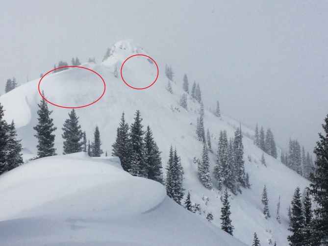
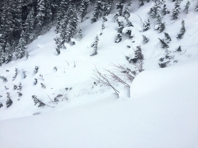
Avalanches: Most terrain obscured by poor vis, but saw one natural wind slab on a wind loaded NE aspect above treeline. ~2ft crown, mostly filled in already, failed earlier in this storm. SS-N-R1-D2-U. Very small wind slab failed again in same path today.
Weather: Moderate to strong SW winds with moderate snow transport. S-1. Broken to overcast skies
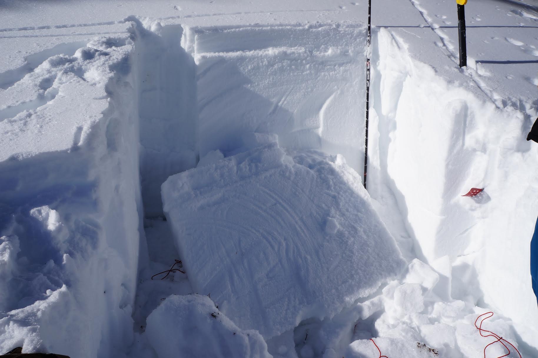
Snowpack: 15″ of storm snow, with drifts up to several feet thick.
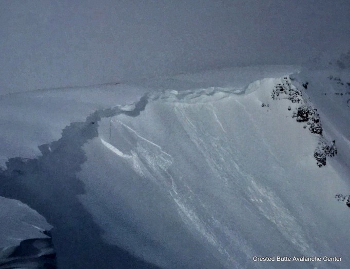
1/16. Larger crown getting filled in, smaller crown above it. NE aspect above treeline.
 S
S D
D L
L