Location: Crested Butte Area, Paradise Divide Area
Date of Observation: 02/24/2016
Name: Zach Guy
Subject: Another cornice fall/persistent slab off of Scarp Ridge
Aspect: North East, East, South East, South
Elevation: 9,500-12,400 ft
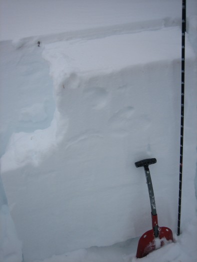
Avalanches: Fresh looking cornice fall on Scarp Ridge into Redwell Basin (NE aspect ATL). I haven’t looked at that path in about a week, but my guess is it fell in the past 3 days. It looks like the cornice initially gouged to the ground through weak and incohesive snow, but encountered more structure further downslope and pulled out a relatively narrow pocket of persistent slab, estimated 30 feet wide and a few feet deep. (SS-NC-R1-D2-O). See photo.
Weather: Clear skies, cool temps, light to moderate NW winds at ridgetop. Small plumes on peaks this morning and no transport the rest of the day.
Snowpack: 1″ of new snow over variable surface of stout crusts to thin crusts to chalky wind drifts to near surface facets. On a windloaded SSE aspect above treeline, HS was 135 cm and there was 15-20 cm of frozen, pencil hard crusts at the surface (MFpc), over a faceting slab, with percolation columns reaching 30 cm deep. No signs of instability on various aspects/elevations except for some minor cracking and pizza box sized wind slabs in a windloaded gulley, 2-3″ deep on the dusty crust layer.
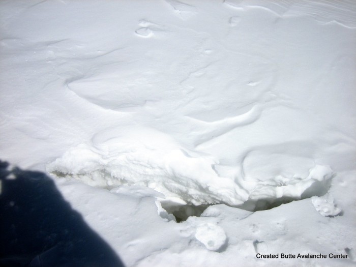
Very shallow pockets of windslab in a gulley.
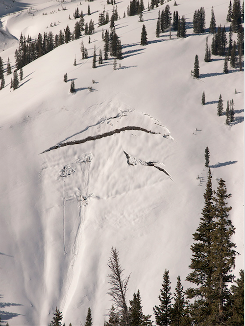
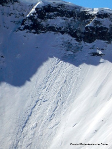
Crack from a very large cornice pulling away from ridgeline.
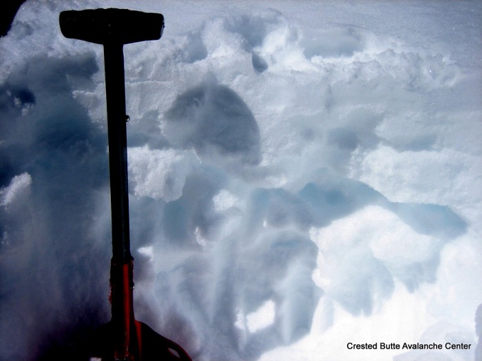
Thick crusts and percolation columns on a SSE aspect above treeline.
2/24. Recent cornice fall/ persistent slab off of Scarp Ridge
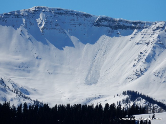
2/24. Recent cornice fall/ persistent slab off of Scarp Ridge