Location: Brush Creek Area
Date of Observation: 04/12/2016
Name: Zach Guy
Subject: White Mountain obs
Aspect: North East, East, South East, South, South West, West, North West
Elevation: 9,100-13,400 ft
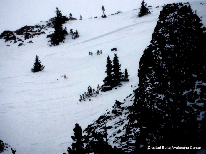
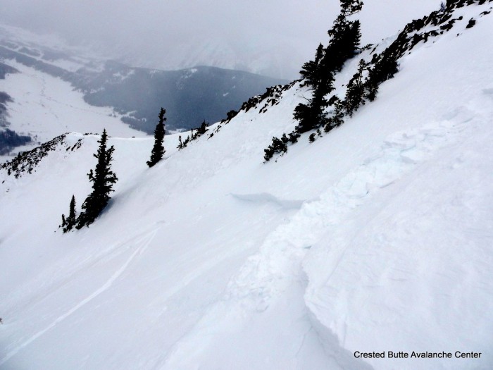
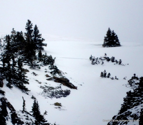
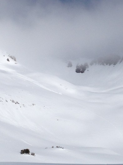
Avalanches: See photos. Observed about a 10 recent natural loose wet avalanches on northwest aspects near treeline, some of which gouged to the ground, D1 to D2 in size. A few small ones above treeline as well. Failure date unknown but I would guess this past weekend. No other significant activity observed, with good views up high.
Weather: Broken skies, warm temps, light winds, a few brief periods of graupel.
Snowpack: Decent refreeze last night: Surface crusts were ~6″ thick below treeline, 8-12″ thick near treeline above a wet snowpack. Above treeline, there was a few inches of recent, unconsolidated snow that was rollerballing harmlessly, and crusts below the new snow looked on track to stay frozen and solid through the whole day. Around 2 p.m., the snowpack had become trapdoor and unsupportive to skis below about 10,500 ft on N and W aspects.
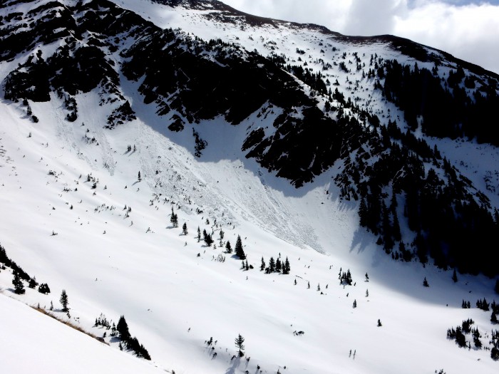
NW aspect NTL on White Mountain
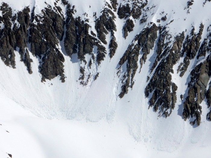
NW aspect ATL, near Teocalli
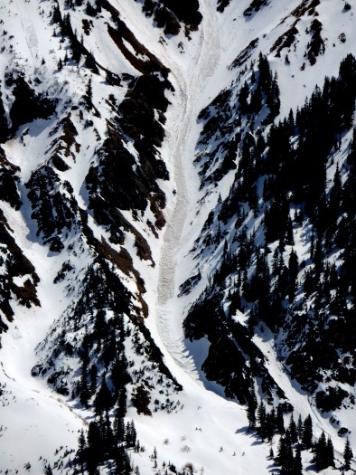
NW aspect NTL, Teocalli
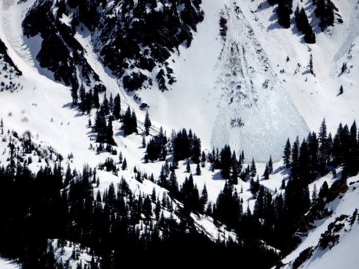
NW aspect NTL. Teocalli