Mountain Weather

CB Avalanche CenterWeather

Date: 04/11/2016

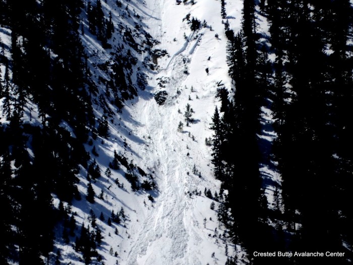
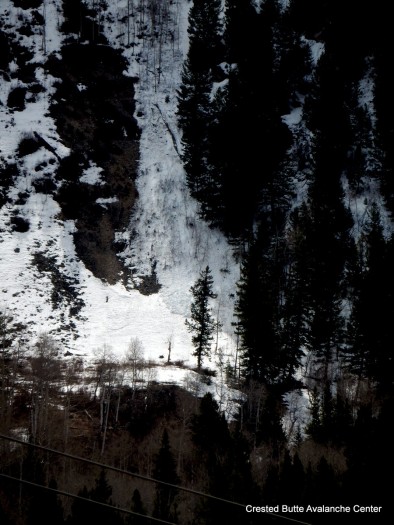
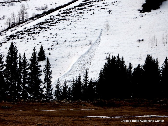
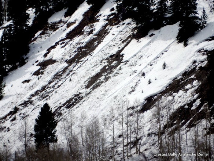
Similar weather as the last couple of days is on tap for today. A weak closed low near Baja is spinning warm moisture into Colorado. Afternoon convection will bring another chance for light rain and snow this afternoon, with potential for localized heavier pulses. More of the same tomorrow as the low tracks east across Arizona. On Thursday a trough descends from the northwest, closes off, and stalls near Colorado. This looks like it will bring a prolonged period of cloudy and showery weather through the weekend.

Wet cycle below treeline on north half of compass

CB Avalanche Center2015-16 Observations

Location: Crested Butte Area
Date of Observation: 04/10/2016
Name: Zach Guy
Subject: Wet cycle below treeline on north half of compass
Aspect: North East, East, North West
Elevation: 9,000-10,000 ft

Avalanches: See video and photos. Evidence of natural wet cycle below treeline in the past 24 hours or so along hwy 135/Slate River Road corridor. About a dozen wet loose slides on NE aspects, one on NW and one on E, ranging from D1 to D2 in size, and about half of them gouging to the ground. 3 wet slabs on NE aspects below treeline, D1.5 to D2 in size, failing at the ground.
Weather: Warm, scattered clouds, no precip, calm winds
Snowpack: 2″ refreeze over an unconsolidated wet snowpack. Ski pen and boot pen quickly became knee to waist deep. One pit on NE aspect showed fist hard wet/very wet grains throughout, with free water pooling at the March 6th dust/interface about a foot deep in this location.  2 collapses in flat terrain

NE aspect BTL, Happy Chutes

NE aspect BTL, Happy Chutes

NE aspect BTL. Happy Chutes.

NE aspect BTL. Happy Chutes.

NE aspect BTL. Happy Chutes

NE aspect BTL. Happy Chutes

NE aspect BTL. Whetstone.

NE aspect BTL. Whetstone.

Cracking snow between debris piles

Cracking snow between debris piles

Looking downhill at wet loose debris pile

Looking downhill at wet loose debris pile

D2 debris pile below wet slab on Gibson Ridge

D2 debris pile below wet slab on Gibson Ridge

East aspect BTL. Gibson Ridge

East aspect BTL. Gibson Ridge

NE aspect BTL. Whetstone

NE aspect BTL. Whetstone

NW aspect BTL. Round Mtn.

NW aspect BTL. Round Mtn.

NE aspect BTL

NE aspect BTL

Wet loose and wet slab. NE aspect BTL on Whetstone

Wet loose and wet slab. NE aspect BTL on Whetstone

Wet loose and wet slab, Gibson Ridge. NE aspect BTL

Wet loose and wet slab, Gibson Ridge. NE aspect BTL

4/10. Wet slab, Gibson Ridge. NE aspect BTL

4/10. Wet slab, Gibson Ridge. NE aspect BTL

Wet snow obs

CB Avalanche Center2015-16 Observations

Location: Kebler Pass Area
Date of Observation: 04/10/2016
Name: EM
Subject: Wet snow obs
Aspect: North, North East, East
Elevation: 10000 -11500

Avalanches: Several minor point releases on east and north aspects. Nothing gauged in to older snow, limited to new snow only.
Weather: In the morning cloud cover was in and out. The sun was out for much of the morning. New snow accumulations at 11500 were 10cm. Air temps were warm, just above freezing, causing snow on north facing slopes to become slightly moist even in shade by noon.
Snowpack: 10 cms of new snow over the weekend. In one location at 11500,NNE facing, 33* slope had free water make it 30 cm down from surface. At 30 cms it refroze in to an ice lens. It was still approximately 20cm above our most recent dust layer.

Ski conditions were supportive through noon with minor loose and roller activity on north aspects. East facing terrain at noon had lost its support and was very wet.

Mountain Weather

CB Avalanche CenterWeather

Date: 04/10/2016

A closed low over Southern California is spinning warm, moist air into Colorado. The weak shortwave that brought some snow flurries early this morning will exit to our northeast, bringing some patches of sun and warming temperatures. Daytime convection will spur another round of light precipitation this afternoon and evening, falling as snow at higher elevations. Tomorrow is an in-between day, as another low tracks our way from the Pacific. There will e enough lingering moisture for cloud cover a spotty showers again.

Mountain Weather

CB Avalanche CenterWeather

Date: 4/9/16

A weak wave under southwest flow brought a mix of snow flurries and very light valley rain last night. Residual moisture in it’s wake will keep weather unsettled today, with the chance for some snow showers at higher elevations in the afternoon driven by daytime convection. A closed low treks south of us on Sunday, pumping additional moisture and similar instability on Sunday. This pattern continues into early next week.

PM wet snow obs

CB Avalanche Center2015-16 Observations

Location: Kebler Pass Area
Date of Observation: 04/08/2016
Name: Zach Guy
Subject: PM wet snow obs
Aspect: North East, East, South East, South
Elevation: 11,000-12,600 ft

Avalanches: None.
Weather: Warm temps, calm winds, scattered to broken clouds, no precip.
Snowpack: In the afternoon, boot pen into wet grains was shin to knee deep on low angle slopes near treeline, but wet loose problem appears to be becoming unreactive. No rollerballs on steep, slushy slopes facing E, S, SE. Hand pits on NE aspect ATL showed water had reached 2-5″ deep. Surfaces were beginning to slightly refreeze at sunset.

Mountain Weather

CB Avalanche CenterWeather

Date: 04/08/2016

Clear, warm and dry weather will continue today, before clouds start increasing this afternoon. Increased moisture will be pushed into are area this evening from the southwest. We have the chance for some snow tonight but nothing substantial. Tomorrow there will be periods of snow at higher elevations and possibly some light rain in the valleys. Unsettled weather continues into next week with small chances of perspiration and the sun breaking out at times.

Moist snow and persistent slab

CB Avalanche Center2015-16 Observations

Location: Crested Butte Area
Date of Observation: 04/07/2016
Name: Evan Ross
Subject: Moist snow and persistent slab
Aspect: North East, East, South East
Elevation: 11,200 NTL

Avalanches:
Weather: Clear sky, calm wind, thin clouds starting to build just before sundown.
Snowpack: Quick obs tour in the late afternoon. See media for specifics.

Aspect ENE, Elevation 11,200, Slope 36. Only the upper inch of the snow surface had become moist. The march 6th (lower dusty interface) continues to produce propagating test results on some slopes. ECTP 21 SP with block sliding off. Interface consisted of 4F 2mm rounding faceted particles. The grains themselves didn’t look to concerning, more concerning was the weaker structure surrounded by 1f hard snow.

IMG_1856

Aspect: SE, Elevation 11,200, Slope 25. Moist snow down to an observed depth of 60cm. First ice lens was down about 55cm. Perc columns where above this ice lens but not below. Surprisingly boot pen was only about 10cm 80% of the time.

IMG_1854

Snowboarder triggered slide on park cone

CB Avalanche Center2015-16 Observations

Location: Cement Creek Area
Date of Observation: 04/07/2016
Subject: Snowboarder triggered slide on park cone north chute towards the dam at Taylor Resevoir
Aspect: North
Elevation: 11,900ft

Avalanches: About a 1 foot deep windblown slab broke loose from the top of the chute and traveled around 500 feet down the slope until it slowed down and stopped. It dragged a snowboarder down the slope about 50-60 feet. He managed to stay upright and cut into a safe zone.
Weather: Bluebird day around 10am
Snowpack: A fairly deep layer of powder up top with hard packed crust underneath.

20160407_111435

Corn to slop

CB Avalanche Center2015-16 Observations

Location: Kebler Pass Area
Date of Observation: 04/07/2016
Name: Zach Guy
Subject: Corn to slop
Aspect: East, South, South West, West
Elevation: 10,000-12,000 ft

Avalanches: A couple new D1 wet loose on East face of Mt. Owen ATL today.
Weather: Hot day…Temps reached 50F at 10k and 38F at 12k under calm/light winds and few clouds.
Snowpack: Solid refreeze overnight. Good corn skiing in the morning turned to sloppy mush by the p.m. Top 6″ or so hasn’t quite transitioned to mature wet grains yet; skier triggered a few rollerballs on East NTL around 11 a.m. and skier triggered widespread large rollerballs on West aspects around 2:00 p.m.