Date of Observation: 11/17/2021
Name: Eric Roberts
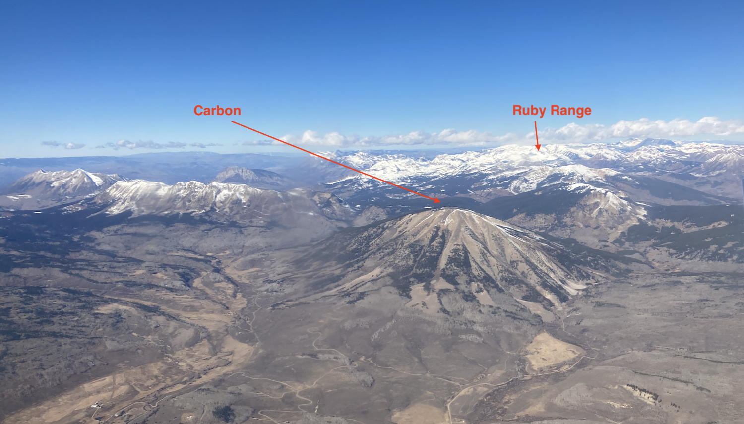
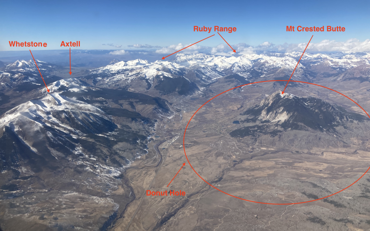
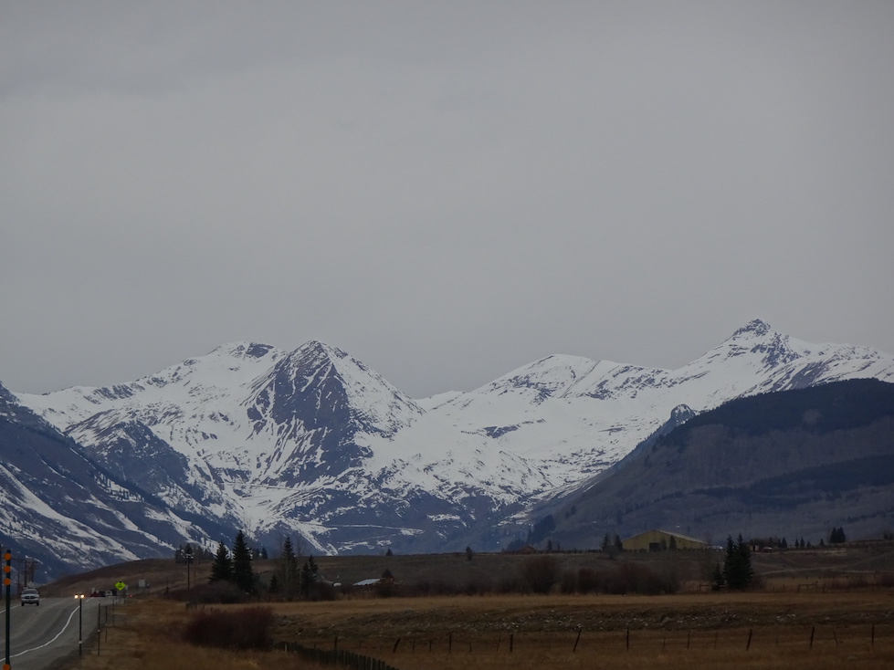
Zone: Northwest Mountains
Route Description: 10:00-17:00
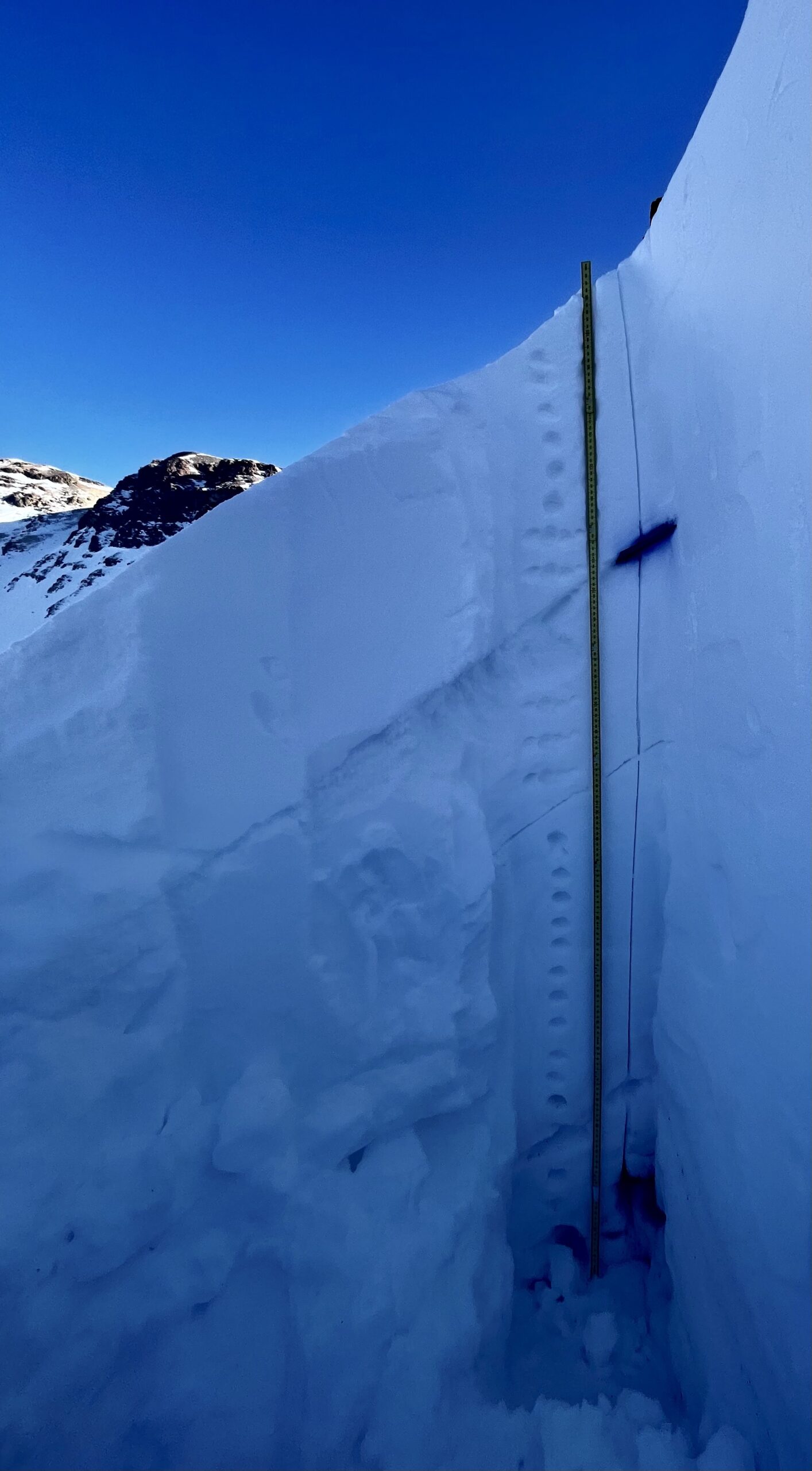
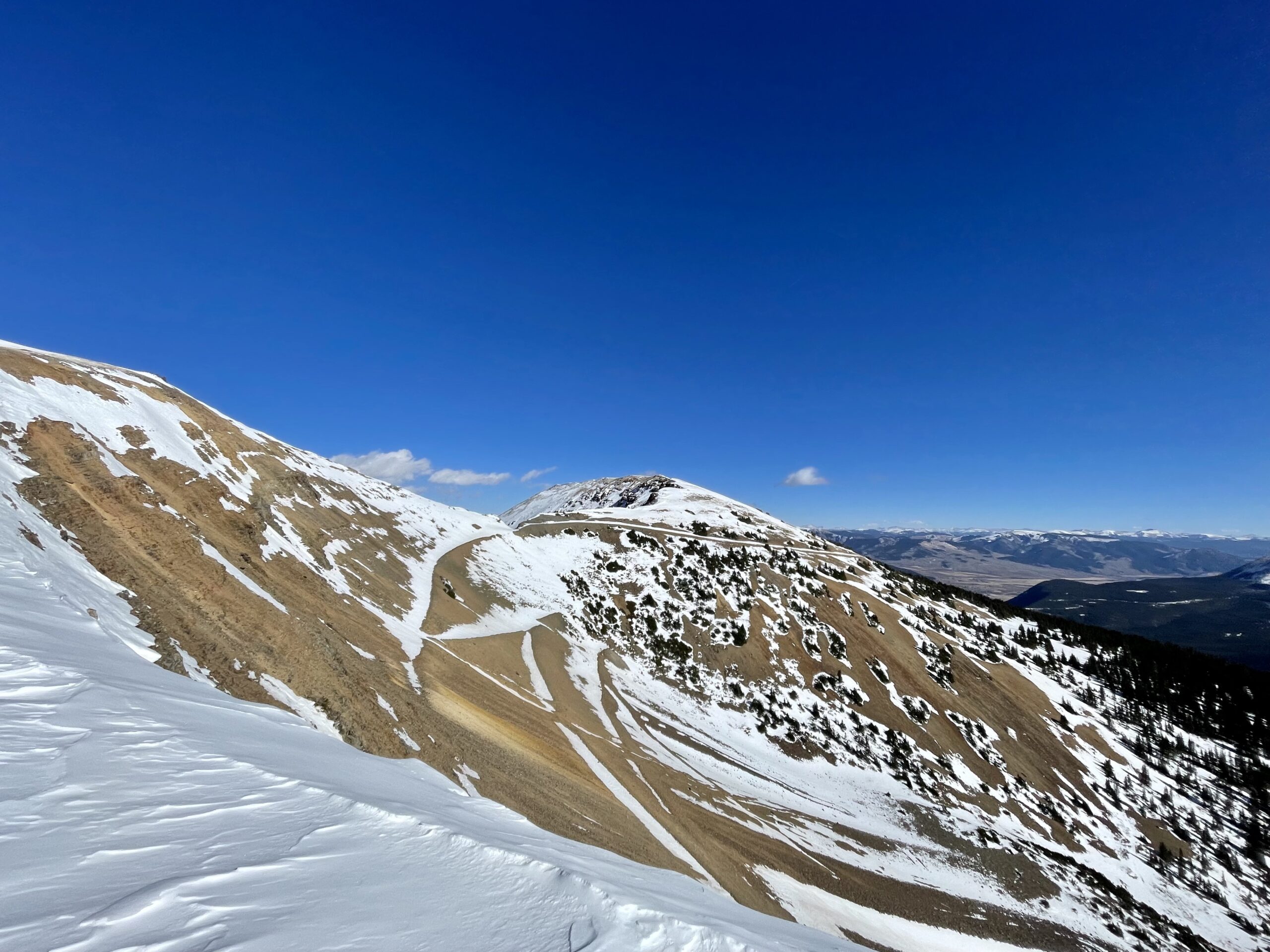
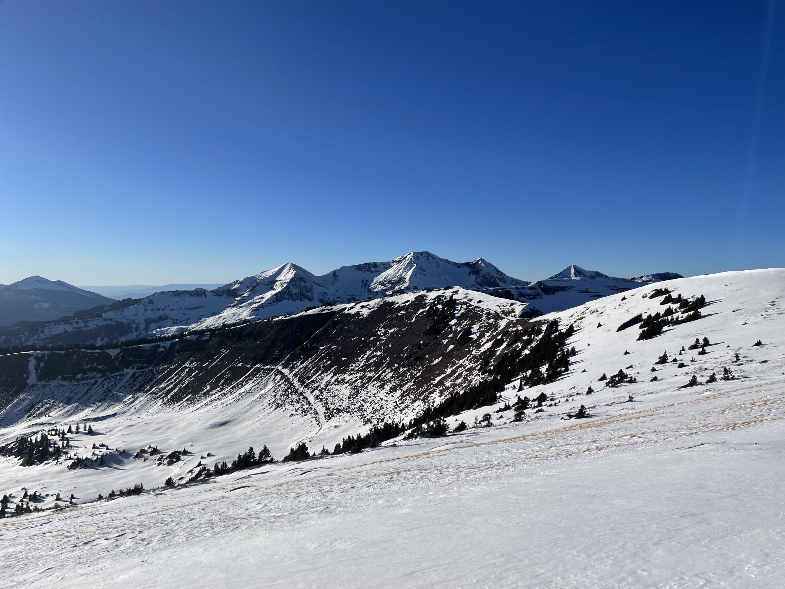
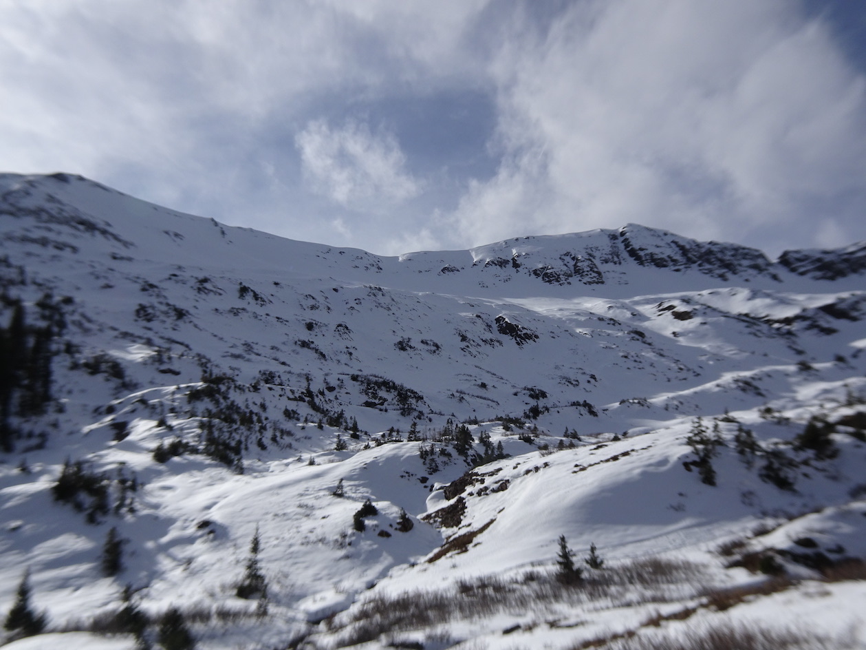
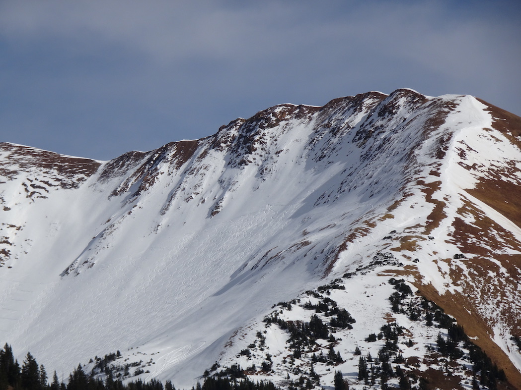
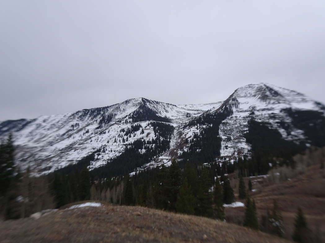
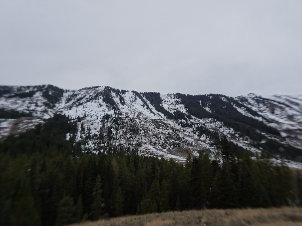
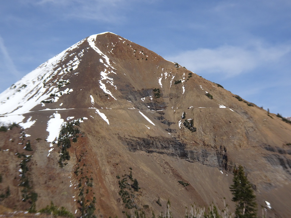
Toured up Elk Creek towards Scarp Ridge and topped out at Mount Emmons to assess instability of upper elevations and familiarize myself with terrain. I conducted one test pit above treeline with results showing poor stability overall. I descended Elk Basin and followed my skin track back to the parking lot.
A mixed bag of ski conditions but great to get up high with this early season coverage.
Observed avalanche activity: No
Avalanches:
Weather: Few in AM trending to CLR in PM
Light westerly winds in AM in Treeline
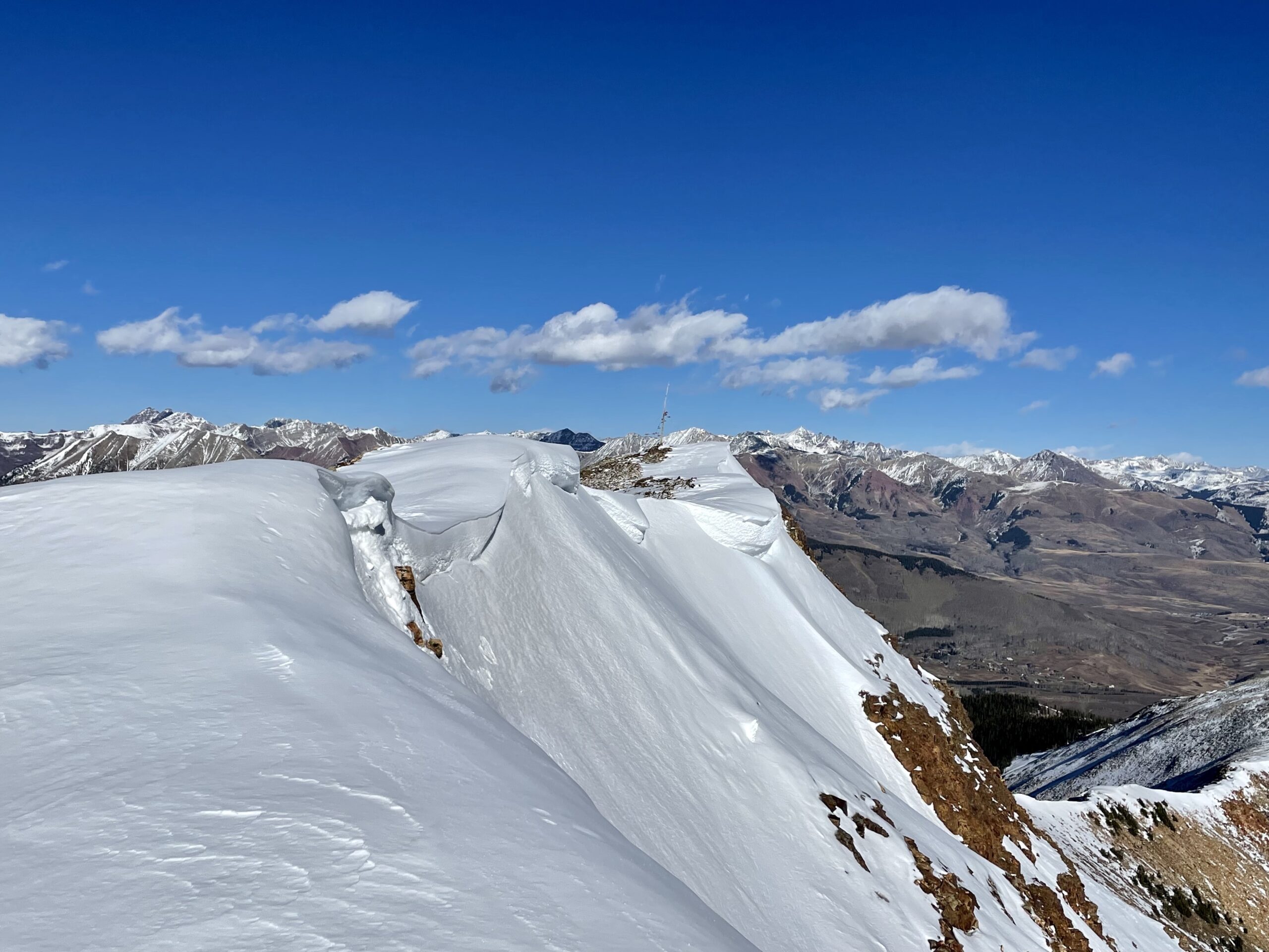
Consistent, moderate NW winds above treeline and along ridgelines
36°F @ 9,580’ (10:00)
15°F @ 12,080 (14:30)
No Precipitation
No riming observed
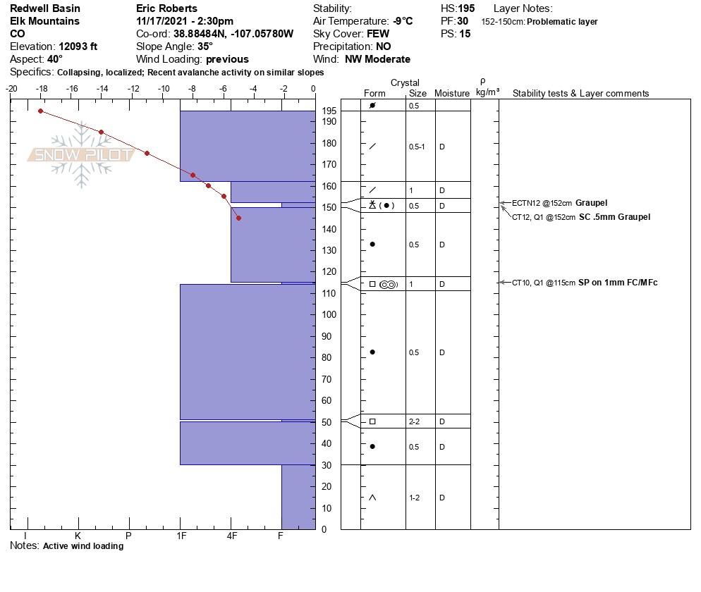
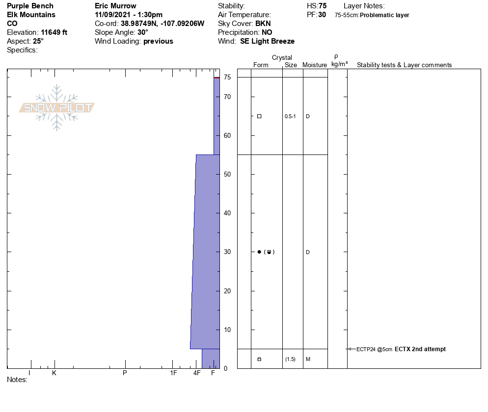
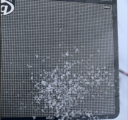
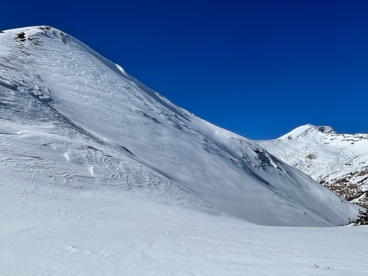
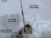
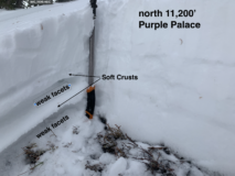
Snowpack: My focus was to assess the early season snowpack instability in the alpine and potential problems that may arise with the next added load. Tests showed low strength, propagation propensity and poor stability overall. The buried graupel layer 43cm down was reactive in both small and large column tests snd very visible in profile.
9,560’-12,340’: .5mm Graupel is present on most sheltered snow surfaces which could be buried in future storms. 20-40cm of unsupportive snow exists in most shaded and sheltered locations with wind loaded areas having up to 200cm.
*See snowplow for details*
Red Flags: No cracking, shallow localized collapsing in wind drifted areas
No observed releases
No test slopes performed
Active snow transport on ridgelines around 12,000’ on Scarp Ridge and Ruby Ridgeline