Location: Crested Butte Area
Date of Observation: 01/11/2019
Name: ADB
Subject: Snodgrass-GFP freshner
Aspect:
Elevation: BTL
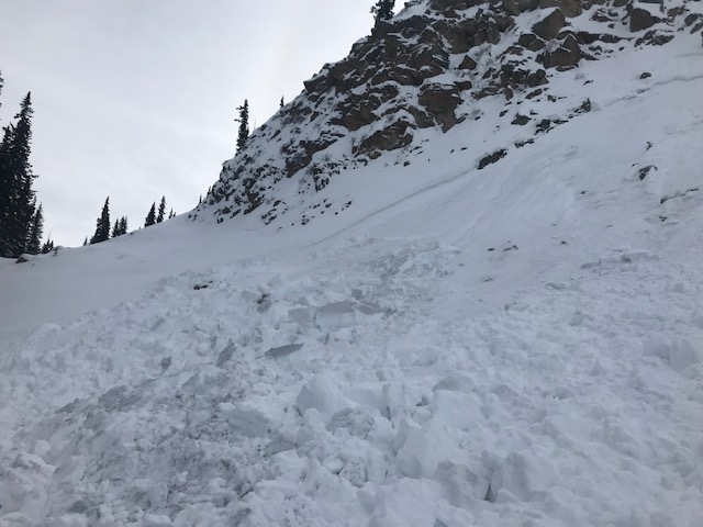
Avalanches:
Weather: Obscured skies morphed into broken skies. Temperatures warmed up to around freezing. Light winds and one burst of moderate wind that blew snow up on the road for a minute or two.
Snowpack: Less than 2 inches of new snow, closer to one inch.
No cracking or collapsing observed on filled in skin tracks or newly formed skin tracks.
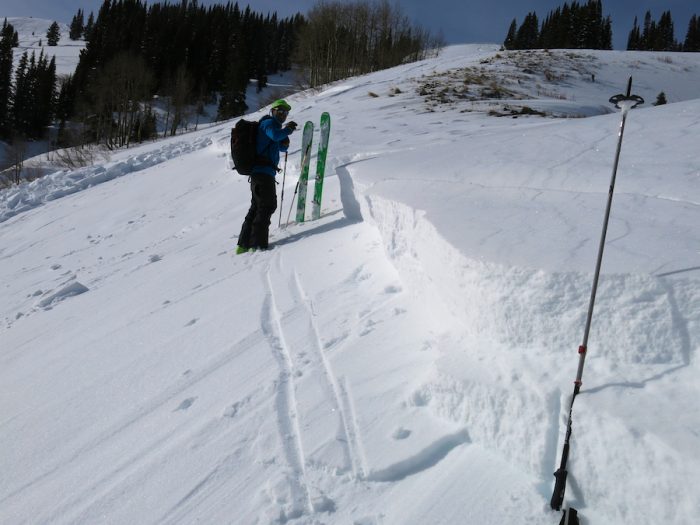
Disclaimer: These are very hasty tests with non standardized column dimensions.
Performed dirty hand tests:
2 on SE Slope were within CT10-15 with Q3 shears. Both were very sluggish on buried surface hoar (?) about 8 to 12 inches below snow surface. (skin track in trees below the RMBL weather station).
1 on W/SW aspect had CTN. Did find a 1F crust below 12 inches of F hardness snow. (road cut above the RMBL weather station.
Photos: