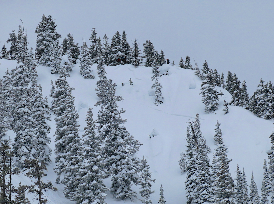
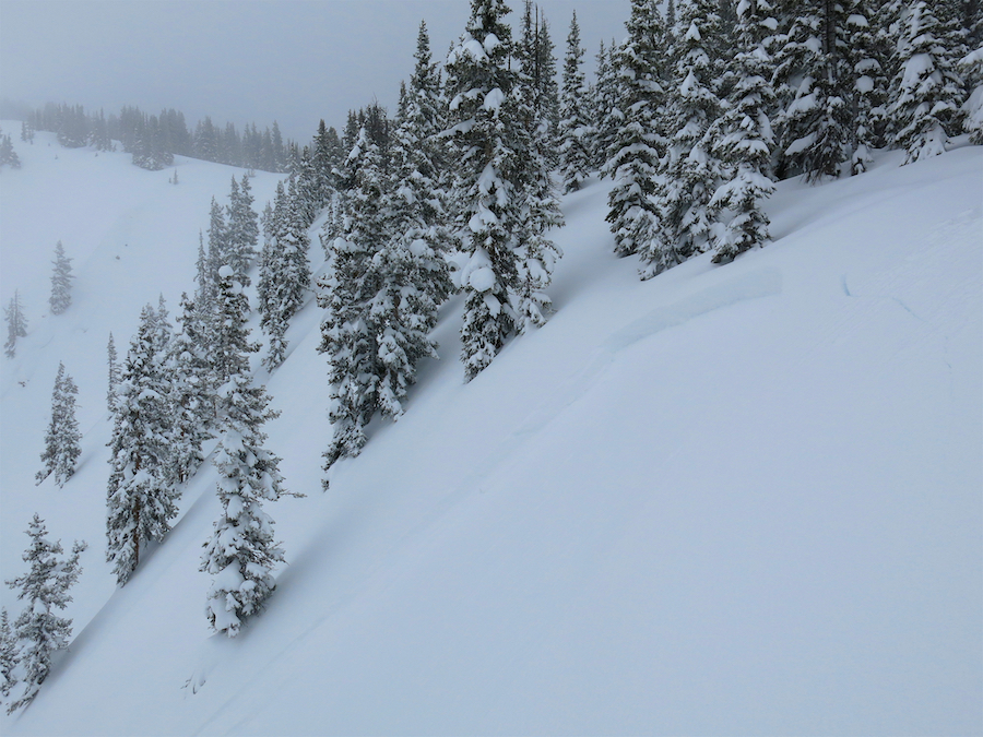
Location: Crested Butte Area
Date of Observation: 03/03/2019
Name: AIARE 2
Subject: Coneys Glades
Aspect: North East
Elevation: 9,600-10,300
Avalanches:
NO
Weather: 2-S5 all day ~4in of accumulation with Mod winds from the W, a few strong gusts
Snow falling was mostly PPrm, almost grapple at points
Colder today and snow until 1500 was low density, especially compared to the previous 2 days
Sky – OBS
TAir – 28deg
Snowpack: Pen Ski – avg 30cm
Pen Boot – Crotch (didn’t stop until then, would have gone further)
Snow was deep for sure, and we could feel the denser settled snow from Fri, below the fresher snow from the last 48hrs, breaking through and while stiffening, not supper supportable yet in this area. Localized collapsing
Pits dug at 10300ft on a NE facing aspect in an open meadow BTL- ~150cm depth of pit on avg.
50-70cm of new snow F harness gaining strength near the bottom of the layer
80-100cm of 4F-1F slab that seems to be uniform with a small interface 50-60cm down from the new snow
CT18 Q2 RP Down 55cm
CTN
CTM Q2 RP Down 80cm
ECTN down 35cm
ECTN down 55cm and 95cm
ECTP16 down 80cm (new/old snow interface)
Photos: