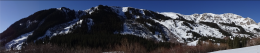
Zone: Southeast Mountains
Location: West Brush and Twin Lakes basins
Date of Observation: 12/07/2020
Name: Zach Guy
Subject: One good turn
Aspect: North East, South East, South
Elevation: 9,000 – 13,000′
Avalanches:
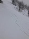
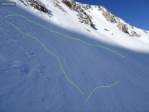
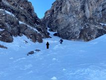
Came across an old natural persistent slab crown and debris, 2′ to 3′ thick, D1.5 in size, below the apron of a couloir on a NE aspect. Looks like it ran last storm, about 2 weeks ago.
Weather: You guessed it.
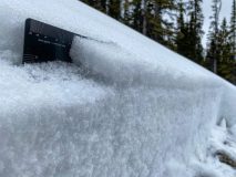
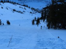
Snowpack: Checking out the snow structure in some less frequented areas east of town: equally weak and shallower than terrain to the west. Snow depths in shaded, wind protected terrain are about 12″ to 15″, fist hard 1.5 – 2.0 mm facets throughout, unsupportive to skis. Near and above treeline slopes show more beating from previous winds; the snow surface is textured and varies from pencil hard wind board to fist hard facets and everything in between. On the southern quadrant of the compass (SE to SW), the snowpack is patchy to just wind drifted features at high elevations and mostly all melted away at low elevations. We traveled almost exclusively on southern aspects or high elevation terrain and saw no signs of instability. Small, shaded rollovers below treeline easily sluffed. I noticed a radiating collapse in flat terrain from a suncrust on the snow surface collapsing on facets below. No surface hoar around here except in creek beds.
Photos:
-
-
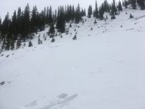
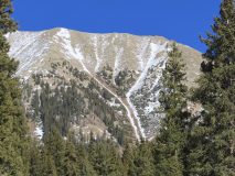
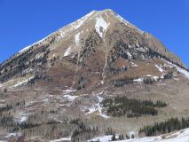
Old persistent slab crown that likely ran last storm.
-
-
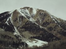
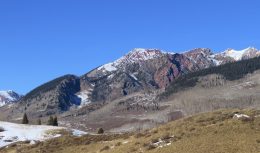
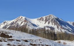
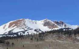
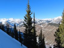
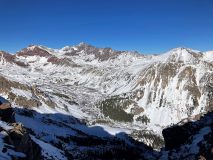
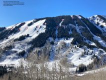
Snow coverage on southwesterly facing terrain in Twin Lakes basin
-
-
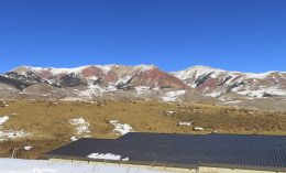
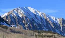
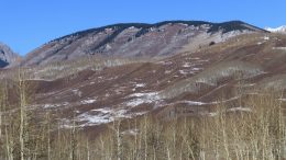
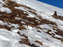
Seasonally confused sun bathers struggling to find camouflage on southerly aspects.
-
-
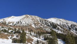
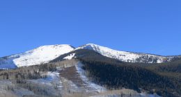
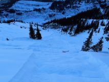
Suspect terrain for dry loose avalanches today.